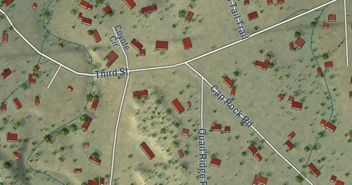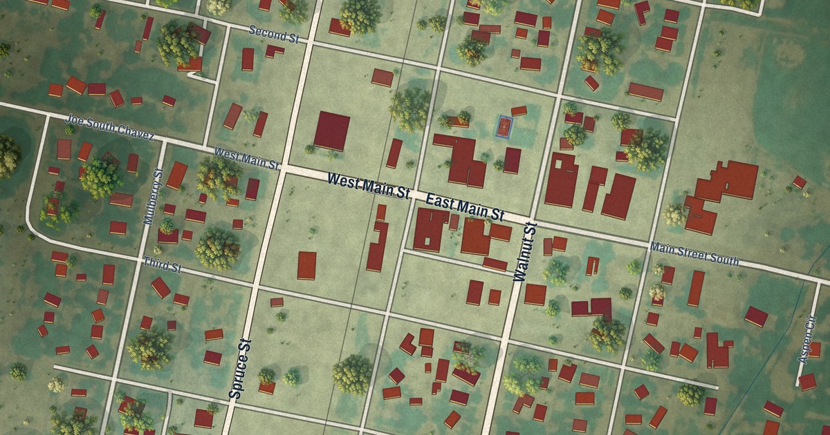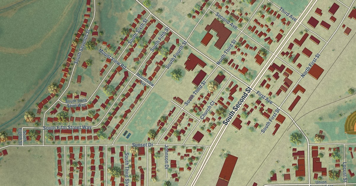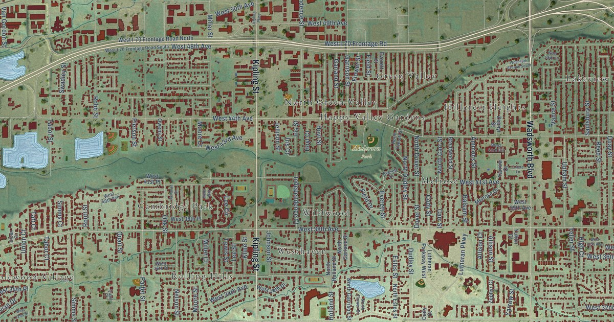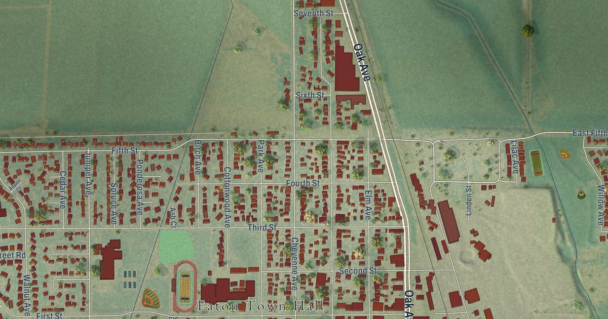
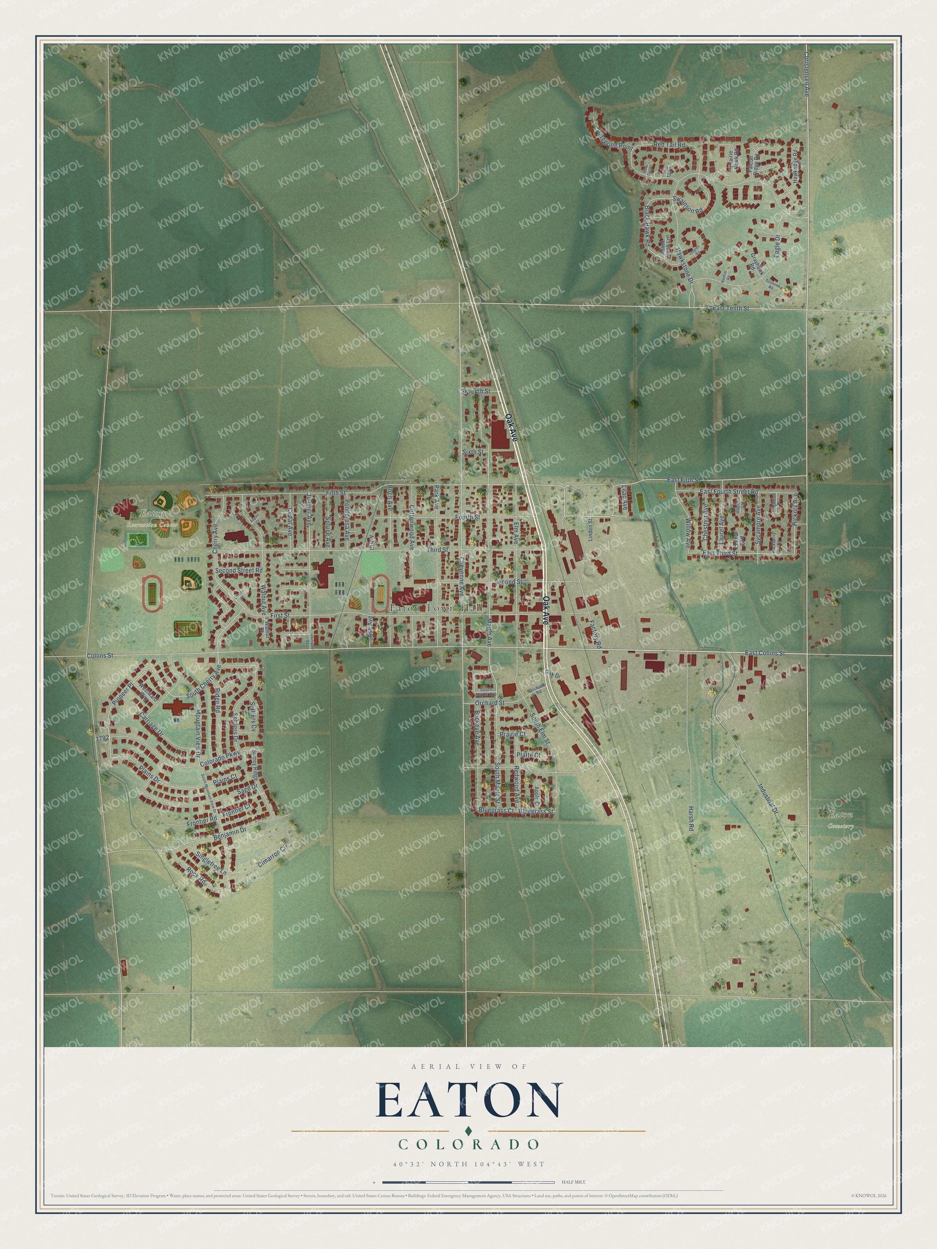
This beautifully detailed map of Eaton, Colorado was created in 2026 using aerial imagery combined with modern topographical, census, street and landmark data. It’s a one-of-a-kind view of Eaton that combines accurate data with a vintage aesthetic. The map shows every building in its true location, many of the roads carry their names, and the shaded topographic relief shows the shape of the land.
Explore an aerial view of Eaton, Colorado
On the map you’ll find Eaton Town Hall, Eaton Recreation Center, Eaton Cemetery, and Pioneer Place, along with Oak Avenue, East Collins Street, Christensen Avenue, South Cherry Avenue, Fourth Street, East Fifth Street, Cherry Avenue, Plains Drive, and more. If you look closely you can even find your house accurately drawn in its correct location. Zoom in on the preview to look for yours.
Did you know this piece of Eaton, Colorado history?
From Weld County: "The Big Store was Eaton’s department store of the late 1800s, able to sell everything from groceries to hardware to farm implements."
Take a closer look at the Eaton map
Street and place names on the Eaton, Colorado map
These names are printed on the map of Eaton, Colorado.
Places: Eaton Town Hall, Eaton Recreation Center and Eaton Cemetery.
Streets and roads: Oak Avenue, East Collins Street, Christensen Avenue, South Cherry Avenue, Fourth Street, East Fifth Street, Cherry Avenue, Pioneer Place, Plains Drive, Juniper Avenue, Cheyenne Avenue, Bluegrass Court.
More street names, A to Z
Apple Court, Ash Avenue, Ash Court, Aspen Court, Benjamin Drive, Birch Avenue, Black Hawk Lane, Black Hawk Road, Bluegrass Street, Buckeye Avenue, Carriage Drive, Cedar Avenue, Cherry Court, Chestnut Avenue, Cimarron Circle, Collins Street, Colorado Parkway, Cottonwood Avenue, Dogwood Court, Eagle Drive, East Fourth Street Road, East Tenth Street, East Third Street, Elm Avenue, Factory Road, Falcon Ridge Road, Fifth Street, First Street, Frontier Court, Frontier Road, Goshawk Road, Grayhawk Road, Hackberry Court, Harsh Road, Hawkridge Road, Hawkstone Drive, Hickory Avenue, Industrial Drive, Juniper Street, Kestrel Road, Laurel Avenue, Lilac Avenue, Linden Street, Magnolia Court, Maple Avenue, Mountain View Drive, Oak Drive, Orchard Road, Orchard Street, Osprey Road, Park Avenue, Peregrine Point, Plains Court, Platte Court, Ponderosa Avenue, Prairie Court, Prairie Hawk Road, Red Bud Court, Red Tail Court, Red Tail Drive, Red Tail Road, Redwood Avenue, Ridge Road, Rock Road, Sage Drive, Second Street, Second Street Road, Settlers Cv, Settlers Drive, Seventh Street, Singletree Lane, Sixth Street, South Elm Street, South Maple Avenue, South Maple Street, South Mountain View Drive, Spruce Avenue, Surrey Ridge, Swainson Road, Sycamore Avenue, Third Street, Walnut Avenue, Walnut Court, Westward Way, Willow Avenue.
See the Eaton, Colorado map on a wall
The Eaton map as an 18 x 24 inch print in a black frame.

This beautifully detailed map of Eaton makes an attractive addition to your office, library, or den, and it can even be used to teach children the geography and history of the area. It also makes a great gift for anyone who grew up in Eaton or moved away. When you’re done exploring, click here to get your copy of the Eaton map.