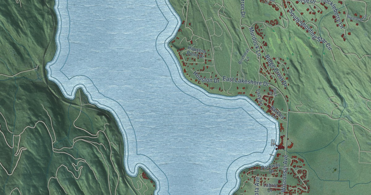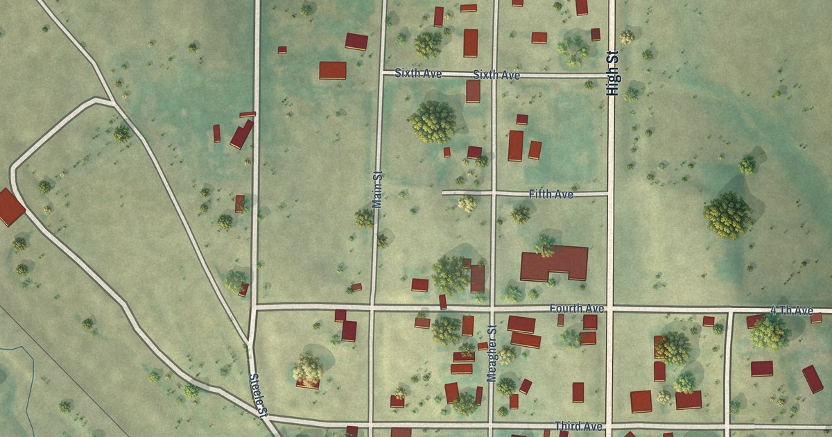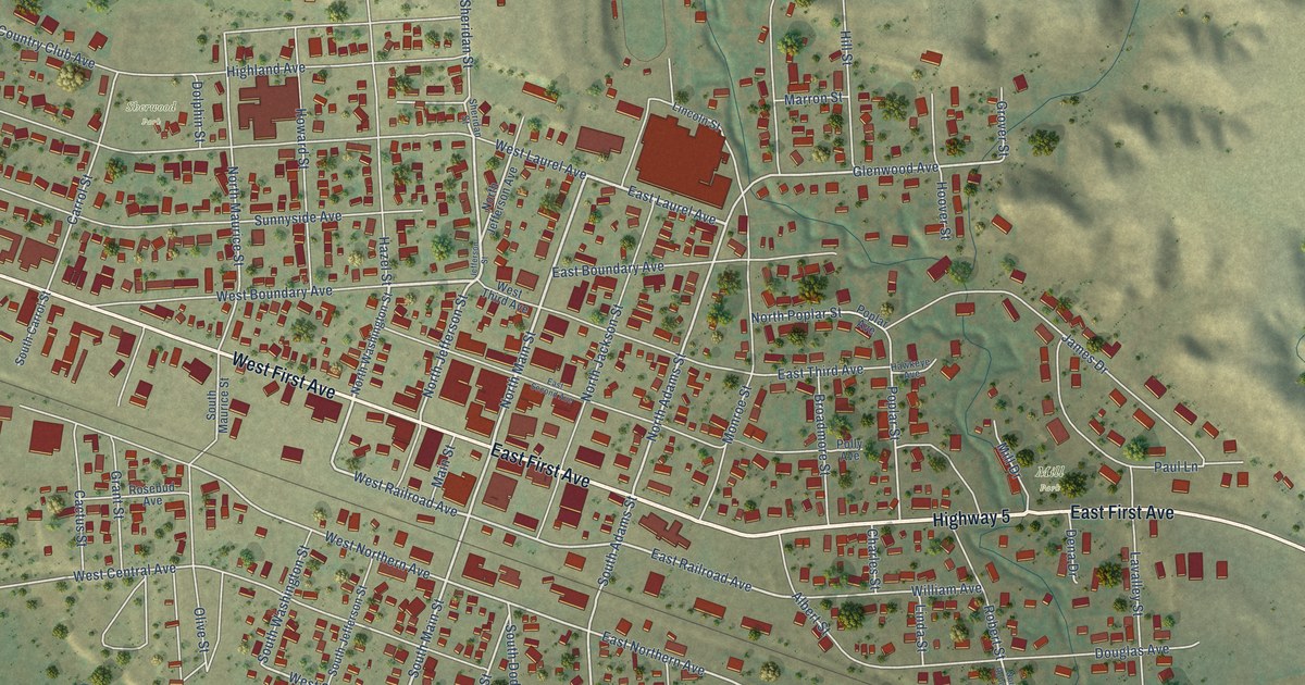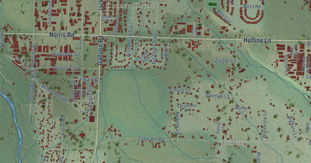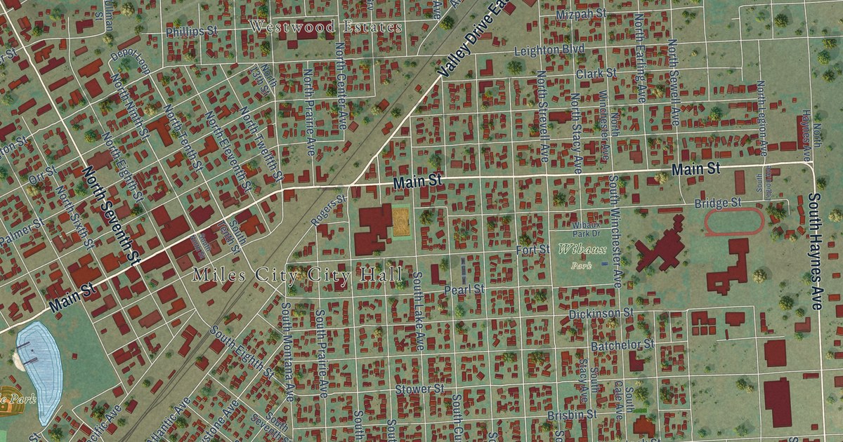
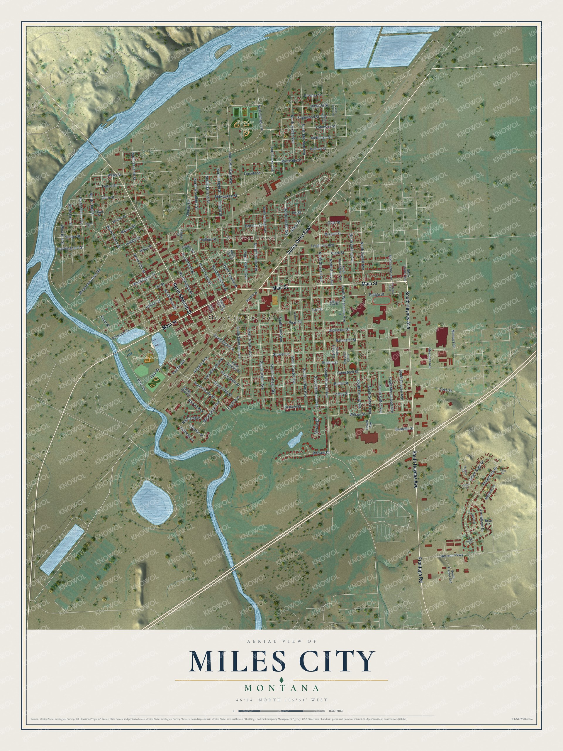
This beautifully detailed map of Miles City, Montana was created in 2026 using aerial imagery combined with modern topographical, census, street and landmark data. It's a modern aerial view of Miles City in Custer County, Montana, that combines modern data with a vintage aesthetic. The roads feature printed names, and if you look closely you can find your exact house accurately shown in its correct location.
Explore an aerial view of Miles City, Montana
On this map you'll find Westwood Estates, Bender Park, Riverside Park, Wibaux Park, Main Street, South Haynes Avenue, North Seventh Street, Frontage Road, North Custer Avenue, North Tenth Street, Washington Street, North Woodbury Street, and more. Each red shape is a building, so zoom in on the preview and look for yours.
Every town has a first chapter, and Miles City is no exception. The record at visitmt.com puts it this way: "Once the horse trading and livestock center of the country, Miles City still has weekly livestock auctions and, once a year, puts on the Bucking Horse Sale for rodeo stock buyers and breeders."
Miles City is a city in Custer County.
Take a closer look at the Miles City map
Names on this map
These names are printed on this map.
Places: Miles City City Hall, Westwood Estates, Bender Park, Riverside Park and Wibaux Park.
Streets and roads: Main Street, Valley Drive East, South Haynes Avenue, North Seventh Street, Frontage Road, North Custer Avenue, North Tenth Street, Washington Street, North Woodbury Street, South Merriam Avenue, Slough Road, North Montana Avenue.
More street names, A to Z
Albert Drive, Arrow Circle, Arrowhead Drive, Atlantic Avenue, Balsam Drive, Batchelor Street, Boutelle Street, Briar Lane, Bridge Street, Brisbin Street, Bullard Street, Butler Street, Charles Street, Clark Street, Comstock Street, Depot Loop, Dickinson Street, Dike Road, Eagle Avenue, Edgewood Street, Felton Street, Fort Street, Front Street, Gordon Street, Hawly Street, Horizon Parkway, Hubble Street, Huffman Lane, Ivy Street, Jackson Street, Knight Street, Leighton Boulevard, Lewis Street, Lincoln Street, Love Street, Marion Street, McKenzie Street, Meadow Lane, Meadows Avenue, Michel's Street, Milwaukee Street, Mississippi Avenue, Mizpah Street, Neidringhaus Street, Neuhardt Drive, Neu Vu Avenue, North 13th Street, North Center Avenue, North Cottage Avenue, North Cottage Grv, North Daly Avenue, North Earling Avenue, North Eighth Street, North Eleventh Street, North Fifth Street, North First Street, North Fourth Street, North Garland Street, North Haynes Avenue, North Jordan Avenue, North Kadzie Avenue, North Knight Street, North Lake Avenue, North Legion Avenue, North Merriam Avenue, North Ninth Street, North Prairie Avenue, North Second Street, North Sewell Avenue, North Sixth Street, North Stacy Avenue, North Strevell Avenue, North Third Street, North Twelfth Street, North Winchester Avenue, Orr Street, Otter Street, Pacific Avenue, Palmer Street, Park Street, Pearl Street, Phillips Street, Pioneer Circle, Pleasant Street, Ponderosa Drive, Prospect Drive, Rivenes Street, Riverside Street, River Street, Robinson Street, Rogers Street, Sewell Avenue, Silver Sage Drive, South Cale Avenue, South Center Avenue, South Cottage Grv, South Custer Avenue, South Doeden Avenue, South Earling Avenue, South Eighth Street, South Fifth Street, South Fourth Street, South Jordan Avenue, South Lake Avenue, South Legion Avenue, South Montana Avenue, South Moorehead Avenue, South Ninth Street, South Prairie Avenue, South Seventh Street, South Sewell Avenue, South Sixth Street, South Stacy Avenue, South Strevell Avenue, South Sutton Avenue, South Tenth Street, South Third Street, South Tractor Avenue, South Winchester Avenue, Spruce Drive, Stower Street, Sudlow Street, Tatro Street, Tompy Street, Ullman Street, Vinton Street, Wells Street, West End Street, Wibaux Park Drive, Wilderness Area Road, William Street, Willow Circle, Wilson Street, Yellowstone Avenue, Yucca Circle.
Created by KNOWOL in 2026. The buildings are small red shapes, the roads carry their printed names, and shaded relief shows the shape of the land. The title panel reads "AERIAL VIEW OF MILES CITY MONTANA" with 46°24' NORTH 105°51' WEST.
Hang it in the hallway, the office or the cabin, or give it to someone who left Miles City and still calls it home. Open the preview and look for a street you know. See sizes and frames for the Miles City map.