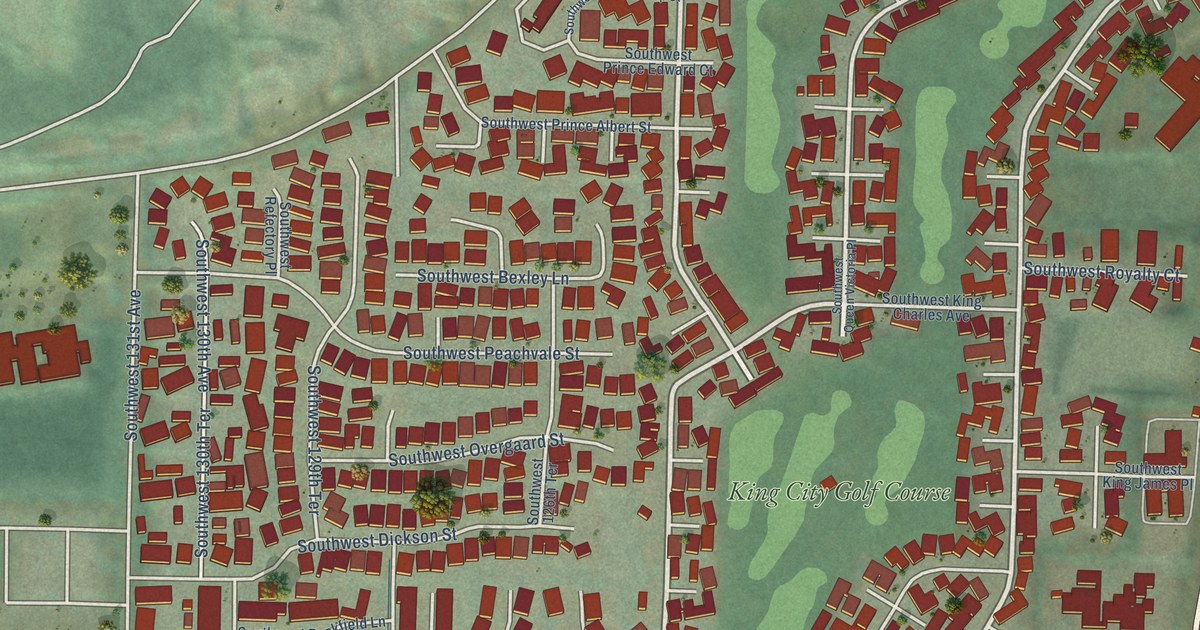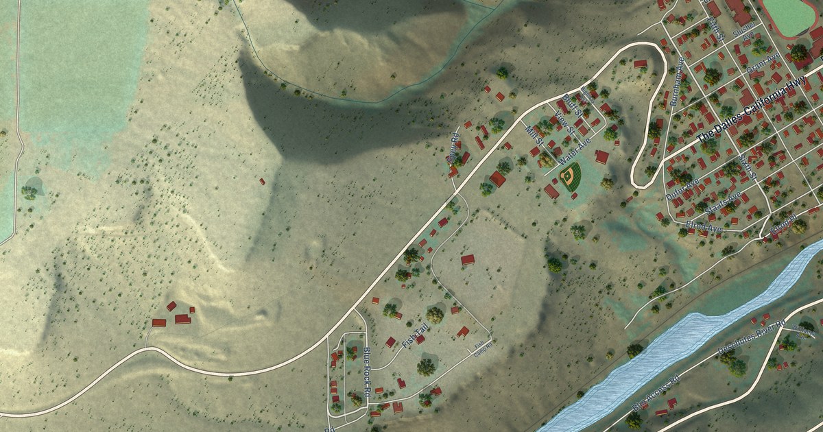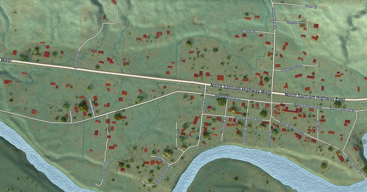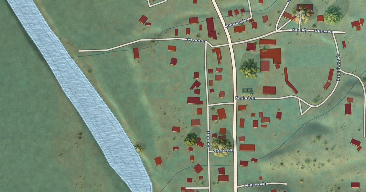
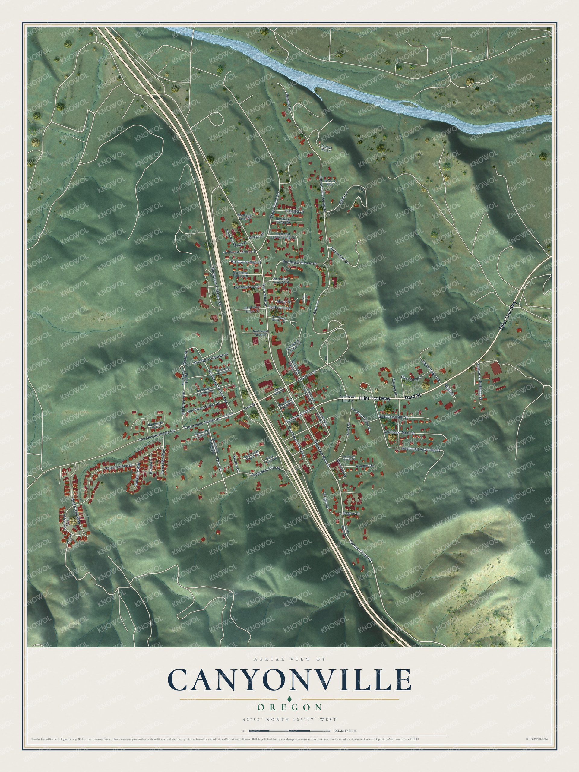
This beautifully detailed map of Canyonville, Oregon was created in 2026 using aerial imagery combined with modern topographical, census, street and landmark data. It's a modern aerial view of Canyonville in Douglas County, Oregon, that combines modern data with a vintage aesthetic. The roads feature printed names, and if you look closely you can find your exact house accurately shown in its correct location.
Explore an aerial view of Canyonville, Oregon
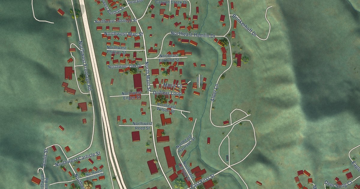
On this map you'll find Third Street, Tiller Trail Highway, Southeast Main Street, First Street, Northwest Leland Avenue, North Main Street, Canyon Creek Road, Canyonville-Riddle Road, East First Street, Southwest Fifth Street, Northwest Frontage Road, Stage Coach Road, and more. Each red shape is a building, so zoom in on the preview and look for yours.
Canyonville has a story worth telling. The Federal Writers' Project puts it this way: "In 1851 Canyonville, or Kenyonville as it was then called, had only two cabins, those of Joseph Knott and of Joel Perkins, who operated a ferry across the South Umpqua."
Canyonville is a city in Douglas County.
Take a closer look at the Canyonville map
Names on this map
These names are printed on this map.
Streets and roads: Third Street, Tiller Trail Highway, Southeast Main Street, First Street, Northwest Leland Avenue, North Main Street, Canyon Creek Road, Canyonville-Riddle Road, East First Street, Southwest Fifth Street, Northwest Frontage Road, Stage Coach Road.
More street names, A to Z
Adels Lane, Alder Lane, Annis Street, Betty's Way, Boyd Street, Brenda Place, Brinkerhoff Drive, Byron Street, Canyonville North Road, Canyonville Riddle Road, Catalpa Lane, Comfort Court, Deaton Court, Deer Song Court, Deleane Drive, Drifters Loop, Eagle Ridge Road, Elliot Street, Gross Loop, Hamlin Drive, Hill Drive Avenue, Huffman Street, Kimberly Way, Knoll Terrace Drive, Kramer Drive, Lower Court Lane, Lucky Ridge Loop, Maylea Place, Moris Lane, Northeast Canyon Creek Drive, Northeast Canyon Street, Northeast Ecklund Street, Northeast Hamlin Drive, Northeast Harrison Street, Northeast Long Street, Northeast Sunset Drive, Northeast Wilson Street, Northwest Berthal Street, Northwest Carlisle Street, Northwest Crest Drive, Northwest Engen Street, Northwest Fairchild Street, Northwest First Street, Northwest Geary Street, Northwest Harrison Street, Northwest Hill Road, Northwest Johnson Street, Northwest Mac Street, Northwest Oak Drive, Northwest Phillips Street, Northwest Reed Street, Pruden Hill Lane, Sabbath Street, Samantha Way, Sandra Court, Southeast Canyon Avenue, Southeast Canyon Street, Southeast James Street, Southeast Mill Street, Southeast Mont Street, Southeast Reynolds Street, Southeast Third Street, Southeast Tower Road, South Main Street, Southwest Byron Avenue, Southwest Fourth Street, Southwest Pine Avenue, Southwest School Lane, Southwest Second Street, West First Street, West Fourth Place, Wild Creek Way, Wright Street.
Created by KNOWOL in 2026. The buildings are small red shapes, the roads carry their printed names, and shaded relief shows the shape of the land. The title panel reads "AERIAL VIEW OF CANYONVILLE OREGON" with 42°56' NORTH 123°17' WEST.
It looks right in a kitchen, an office or a den, and it's a gift for anyone who grew up in Canyonville or moved away. Open the preview and find your street. See sizes and frames for the Canyonville map.