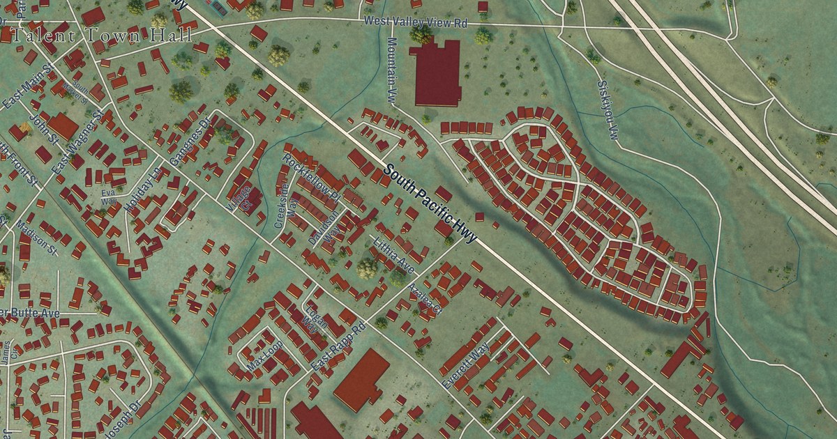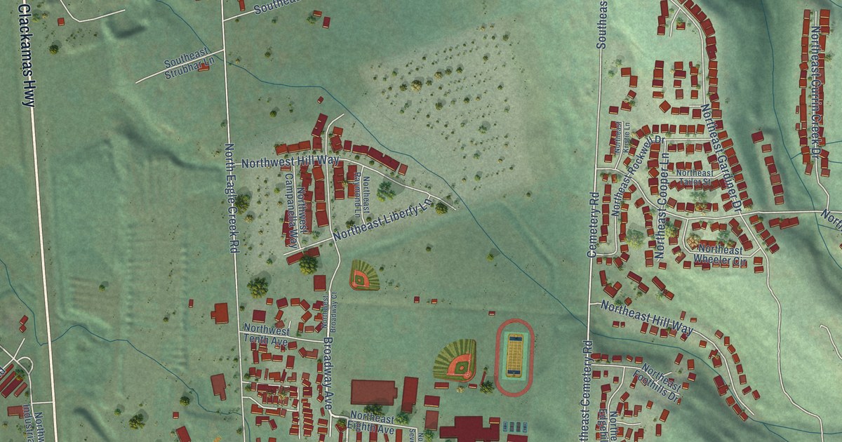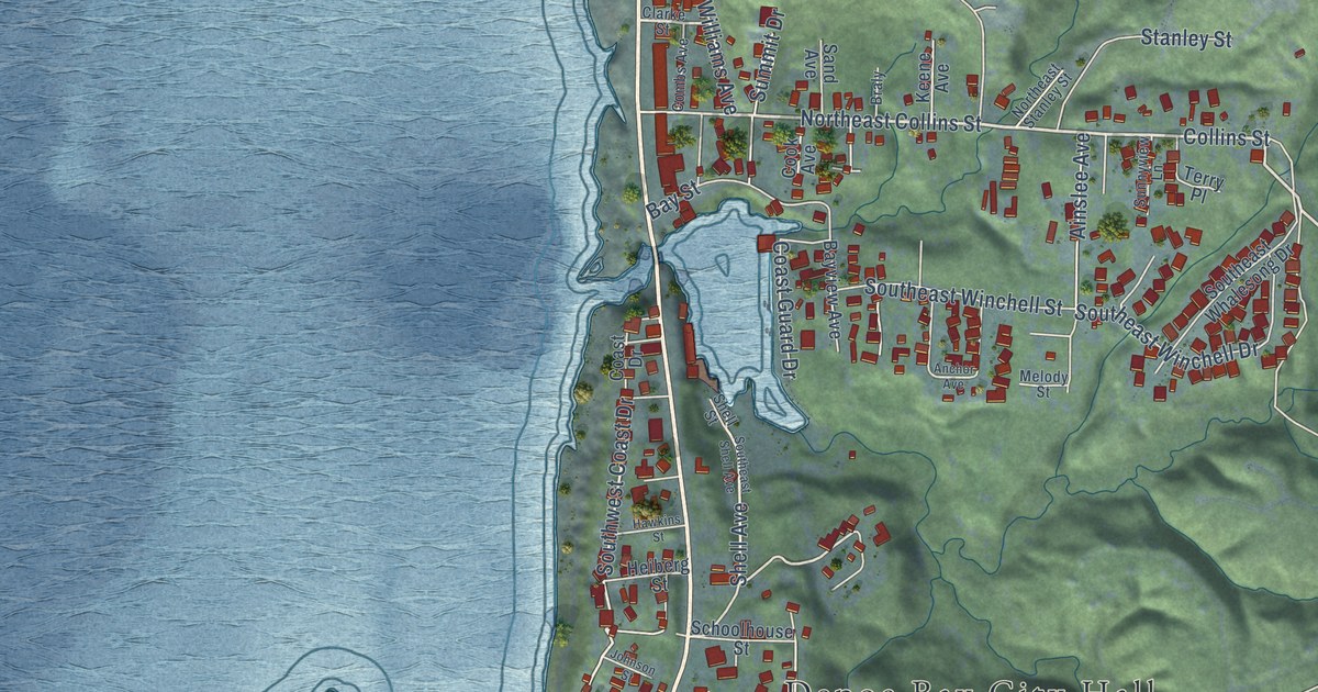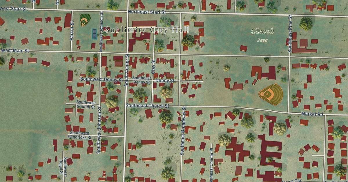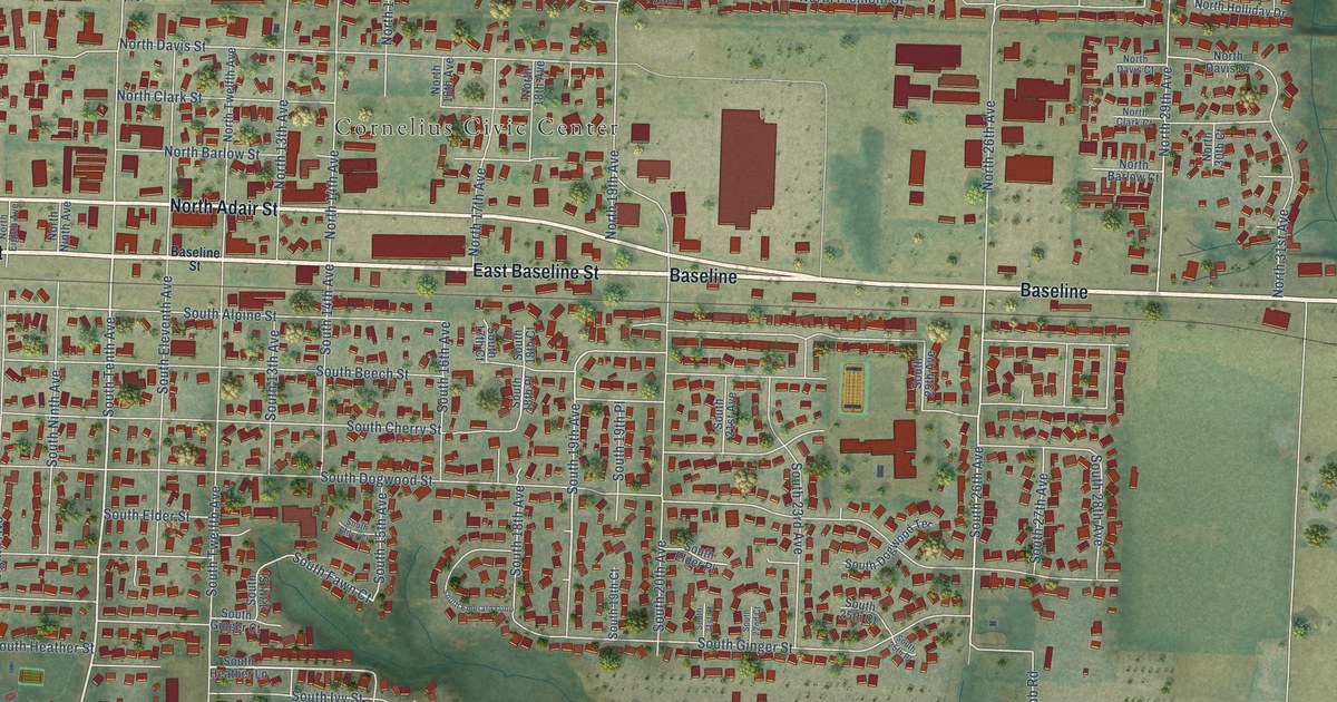
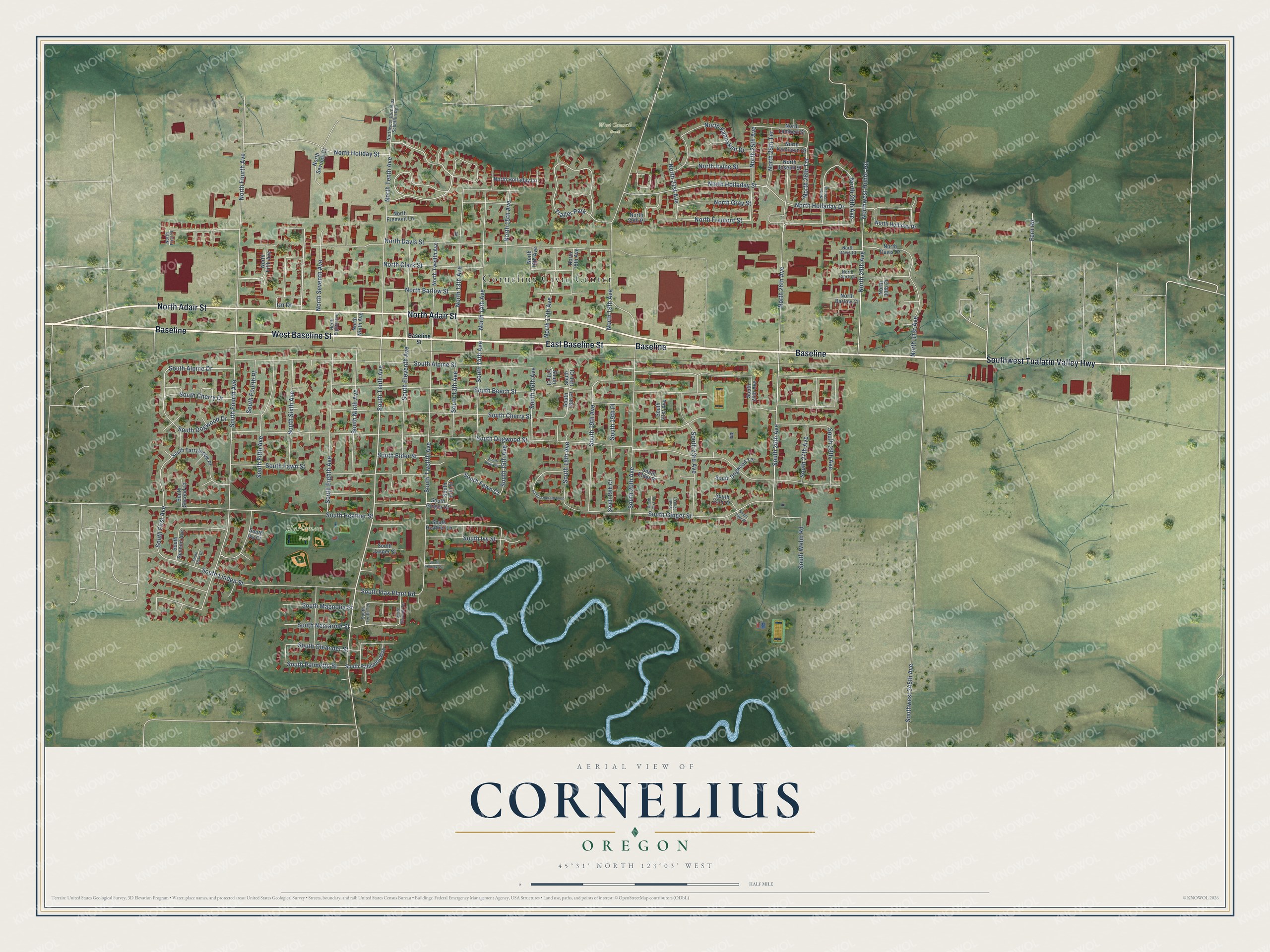
This beautifully detailed map of Cornelius, Oregon was created in 2026 using aerial imagery combined with modern topographical, census, street and landmark data. It's a modern aerial view of Cornelius in Washington County, Oregon, that combines modern data with a vintage aesthetic. The roads feature printed names, and if you look closely you can find your exact house accurately shown in its correct location.
Explore an aerial view of Cornelius, Oregon
On this map you'll find Cornelius Civic Center, Harleman Park, West Council Creek, Baseline, East Baseline Street, West Baseline Street, North Adair Street, Southwest Tualatin Valley Highway, South Tenth Avenue, South 19th Avenue, South Heather Street, South Fourth Avenue, and more. Each red shape is a building, so zoom in on the preview and look for yours.
Here is a piece of Cornelius history, in the words of the record. The City of Cornelius puts it this way: "Later, through common consent of the townsfolk, the city was named after Col. Cornelius in honor of his many contributions to the development of the community. Cornelius was incorporated in the Spring of 1893, with the first Council meeting held on May 5 of that year."
Cornelius is a city in Washington County.
Take a closer look at the Cornelius map
Names on this map
These names are printed on this map.
Places: Cornelius Civic Center, Harleman Park, West Council Creek and Trailer Park.
Streets and roads: Baseline, East Baseline Street, West Baseline Street, North Adair Street, Southwest Tualatin Valley Highway, South Tenth Avenue, South 19th Avenue, South Heather Street, South Fourth Avenue, South 26th Avenue, South 18th Avenue, South First Avenue.
More street names, A to Z
Baseline Street, Fern Road, North 13th Avenue, North 14th Avenue, North 15th Avenue, North 16th Avenue, North 17th Avenue, North 18th Avenue, North 19th Avenue, North 20th Place, North 21st Avenue, North 25th Avenue, North 25th Terrace, North 26th Avenue, North 26th Terrace, North 27th Avenue, North 28th Avenue, North 29th Avenue, North 30th Court, North 31st Avenue, North Barlow Court, North Barlow Street, North Clark Court, North Clark Street, North Davis Court, North Davis Drive, North Davis Street, North Eighth Avenue, North Fifth Avenue, North First Place, North Fourth Avenue, North Fremont Lane, North Fremont Street, North Gray Street, North Holiday Street, North Holladay Drive, North Holladay Lane, North Holladay Street, North Holliday Drive, North Irvine Street, North Joseph Street, North Kamiakan Drive, North Kamiakin Drive, North Lambert Street, North Ninth Avenue, North Seventh Avenue, North Seventh Court, North Tenth Avenue, North Twelfth Avenue, Northwest Cornelius Schefflin Road, Northwest Hobbs Road, South 13th Avenue, South 13th Street, South 14th Avenue, South 15th Avenue, South 16th Avenue, South 17th Court, South 18th Court, South 18th Place, South 19th Court, South 19th Place, South 20th Avenue, South 21st Avenue, South 21st Court, South 22nd Court, South 23rd Avenue, South 25th Avenue, South 25th Court, South 25th Place, South 27th Avenue, South 28th Avenue, South Alpine Drive, South Alpine Street, South Beech Street, South Cherry Drive, South Cherry Street, South Dogwood Drive, South Dogwood Street, South Dogwood Terrace, South Eighth Avenue, South Elder Court, South Elder Place, South Elder Street, South Eleventh Avenue, South Eleventh Terrace, South Emerald Loop, South Fawn Court, South Fawn Street, South Fifth Avenue, South Flax Plant Road, South Fourth Place, South Ginger Court, South Ginger Street, South Heather Lane, South Ivy Court, South Ivy Street, South Jasper Street, South Kodiak Circle, South Linden Street, South Magnolia Street, South Nectarine Street, South Ninth Avenue, South Oleander Street, South Palmetto Street, South Palmetto Way, South Second Avenue, South Second Court, South Sixth Avenue, South Tarrybrook Place, South Tenth Terrace, South Third Court, South Twelfth Avenue, South Webb Road, Southwest 345th Avenue, Un Drive.
Created by KNOWOL in 2026. The buildings are small red shapes, the roads carry their printed names, and shaded relief shows the shape of the land. The title panel reads "AERIAL VIEW OF CORNELIUS OREGON" with 45°31' NORTH 123°03' WEST.
It suits a den, a classroom or a front hall, and it makes a gift for anyone with Cornelius roots. Open the preview and find the block you know. See sizes and frames for the Cornelius map.