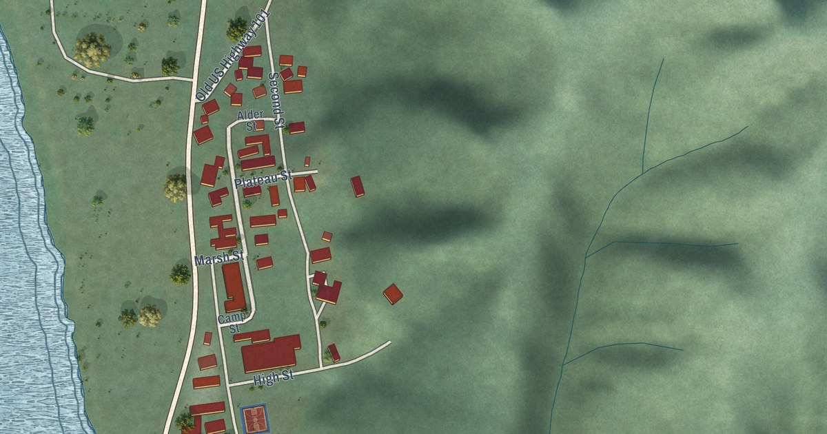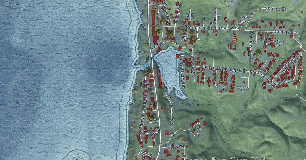
This beautifully detailed map of Depoe Bay, Oregon was created in 2026 using aerial imagery combined with modern topographical, census, street and landmark data. It’s a one-of-a-kind view of Depoe Bay that combines accurate data with a vintage aesthetic. The map shows every building in its true location, many of the roads carry their names, and the shaded topographic relief shows the shape of the land.
Explore an aerial view of Depoe Bay, Oregon
On the map you’ll find Depoe Bay City Hall, along with Oregon Coast Highway, North Coast Highway, South US Highway 101, Collins Street, Northeast Collins Street, Southwest Coast Drive, Southwest Southpoint Street, Point Avenue, Shell Avenue, Alsea Avenue, Southeast Douglas Street, and more. If you look closely you can even find your house accurately drawn in its correct location. Zoom in on the preview to look for yours.
Did you know this piece of Depoe Bay, Oregon history?
From the City of Depoe Bay: "In 1928, the community applied for a post office under the name DePoe Bay, but when the federal approval returned the town’s name was listed as Depoe Bay, as it remains today."
Depoe Bay is a city in Lincoln County.
Take a closer look at the Depoe Bay map
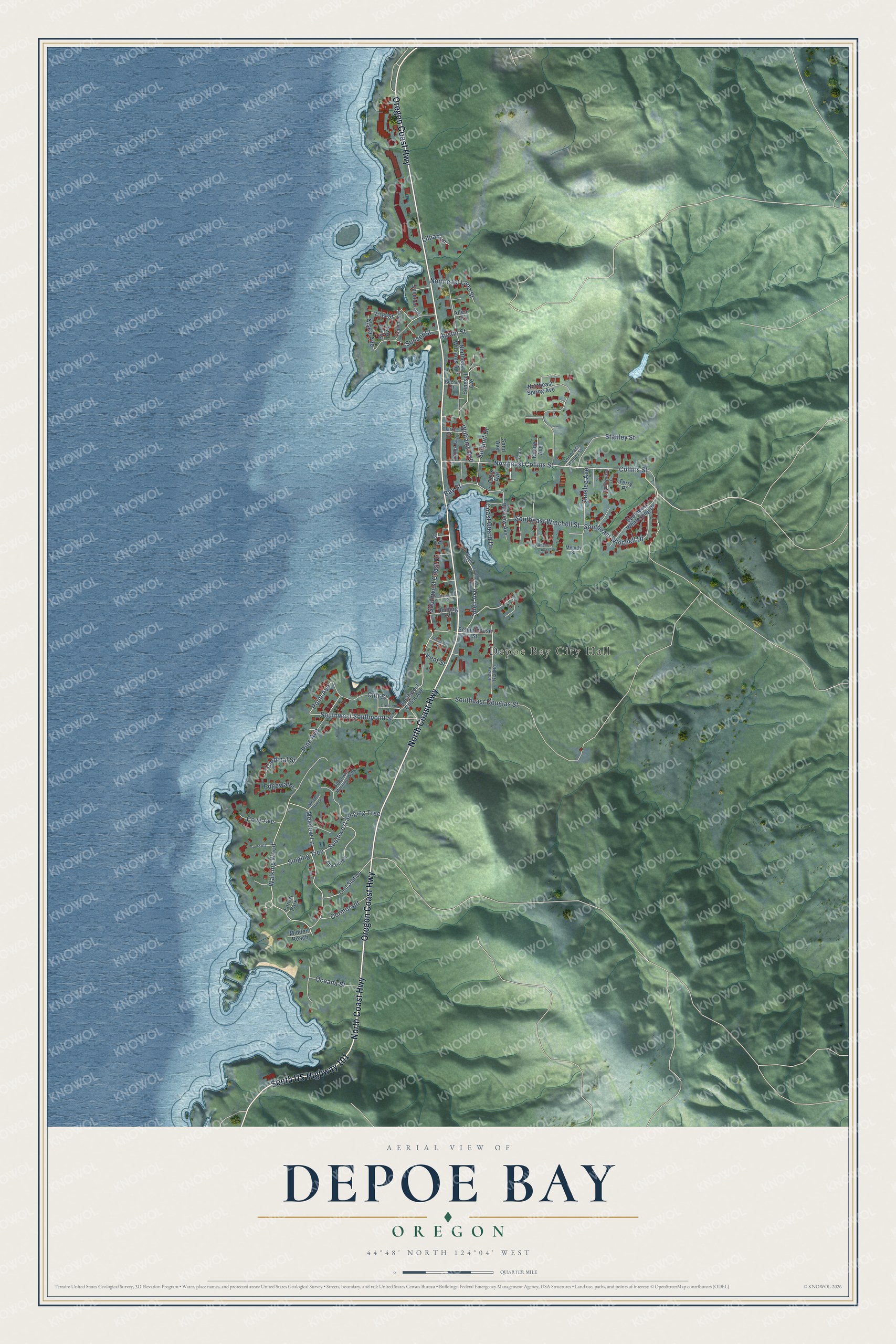
Street and place names on the Depoe Bay, Oregon map
These names are printed on the map of Depoe Bay, Oregon.
Places: Depoe Bay City Hall and Forest Park.
Streets and roads: Oregon Coast Highway, North Coast Highway, South US Highway 101, Collins Street, Northeast Collins Street, Southwest Coast Drive, Southwest Southpoint Street, Point Avenue, Shell Avenue, Alsea Avenue, Southeast Douglas Street, Walking Wood.
More street names, A to Z
Ainslee Avenue, Allen Street, Anchor Avenue, Austin Street, Bay Street, Bayview Avenue, Bechill Street, Benesell Avenue, Braly, Cardinal Street, Clarke Street, Cliff Street, Coast Drive, Coast Guard Drive, Combs Avenue, Cook Avenue, Cormorant, Cove Avenue, Crescent Street, Edgewater, Gull Station, Hawkins Street, Heiberg Street, Indian Trial Road, Johnson Street, Keene Avenue, Kent Street, Lillian Lane, Meadow House, Meadow Lane, Melody Street, Midden Reach, Northeast Lane Street, Northeast Spring Avenue, Northeast Stanley Street, Northeast Williams Avenue, Oceana Street, Pine Avenue, Sand Avenue, Schoolhouse Street, Shell Street, Siletz Avenue, Singing Tree, Southeast Shell Avenue, Southeast Whalesong Drive, Southeast Winchell Drive, Southeast Winchell Street, Southwest Coast Avenue, Southwest Morning Walk, Southwest Singing Tree, Spencer Avenue, Spindrift, Stanley Street, Summit Drive, Sunnyview Lane, Sunset Street, Terry Place, The Pines, Vista Street, Williams Avenue, Yaquina Avenue.
See the Depoe Bay, Oregon map on a wall
The Depoe Bay map as an 18 x 24 inch print in a black frame.

This beautifully detailed map of Depoe Bay makes an attractive addition to your office, library, or den, and it can even be used to teach children the geography and history of the area. It also makes a great gift for someone who left Depoe Bay and still calls it home. When you’re done exploring, click here to get your copy of the Depoe Bay map.