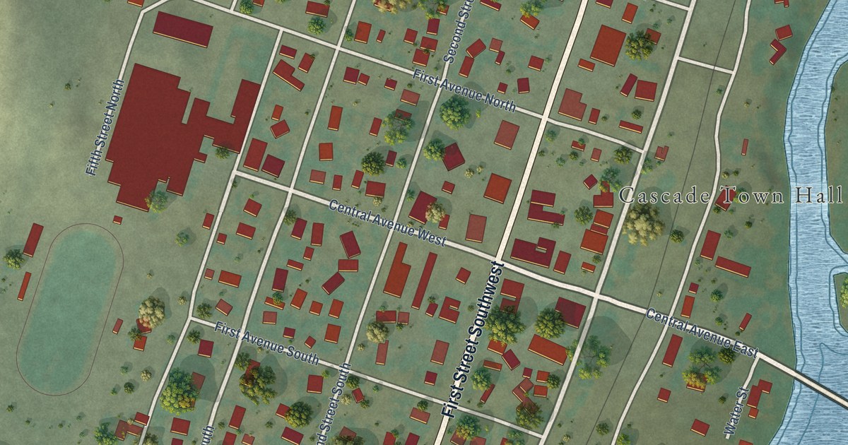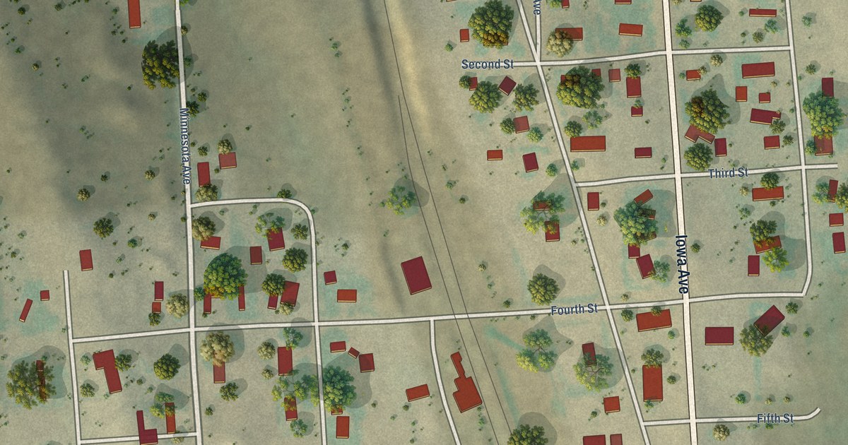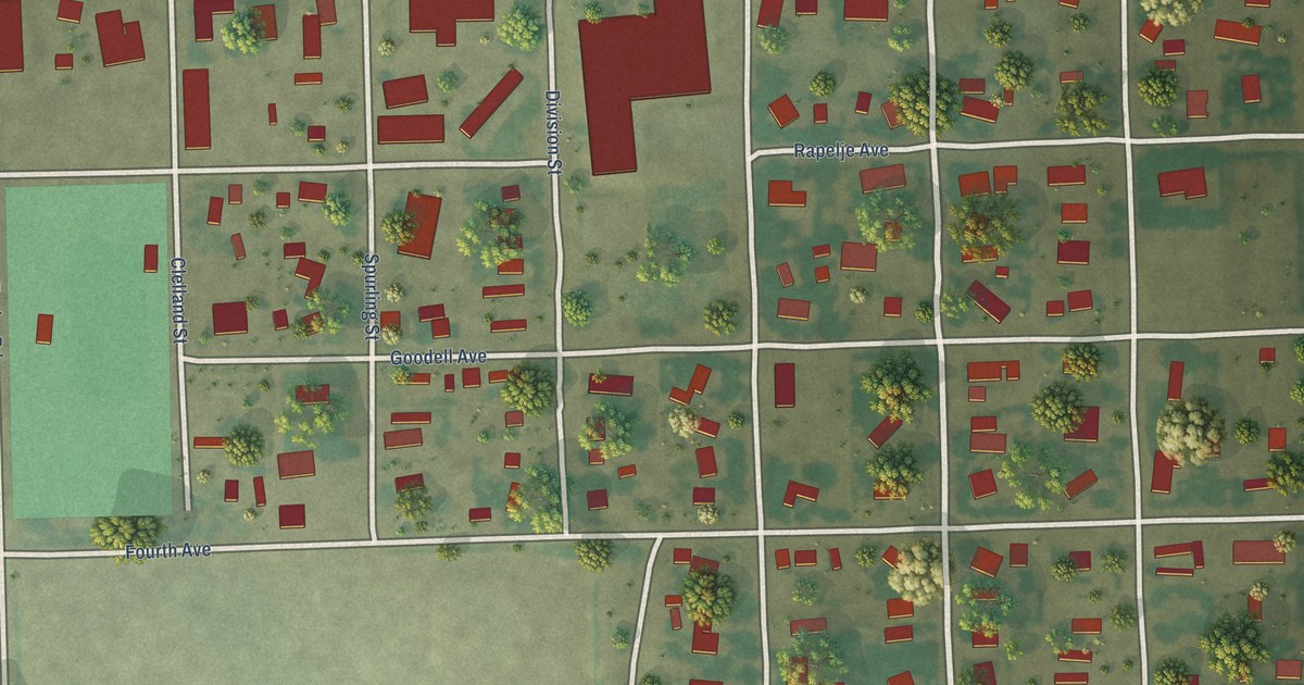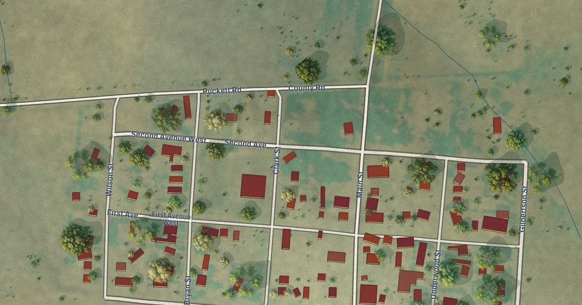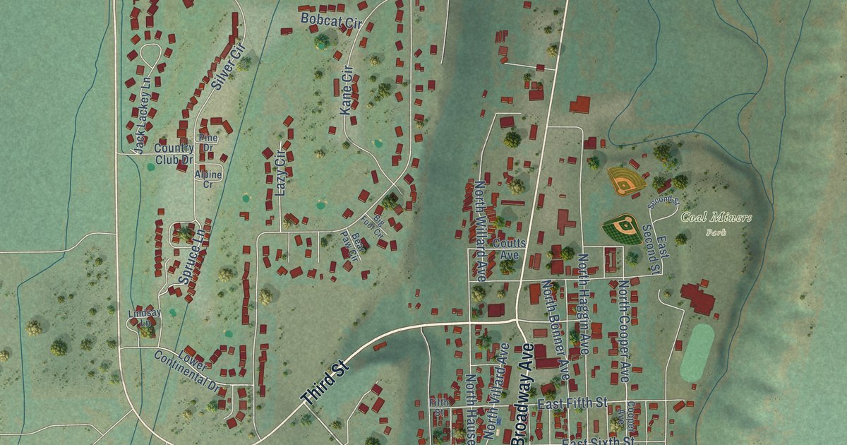
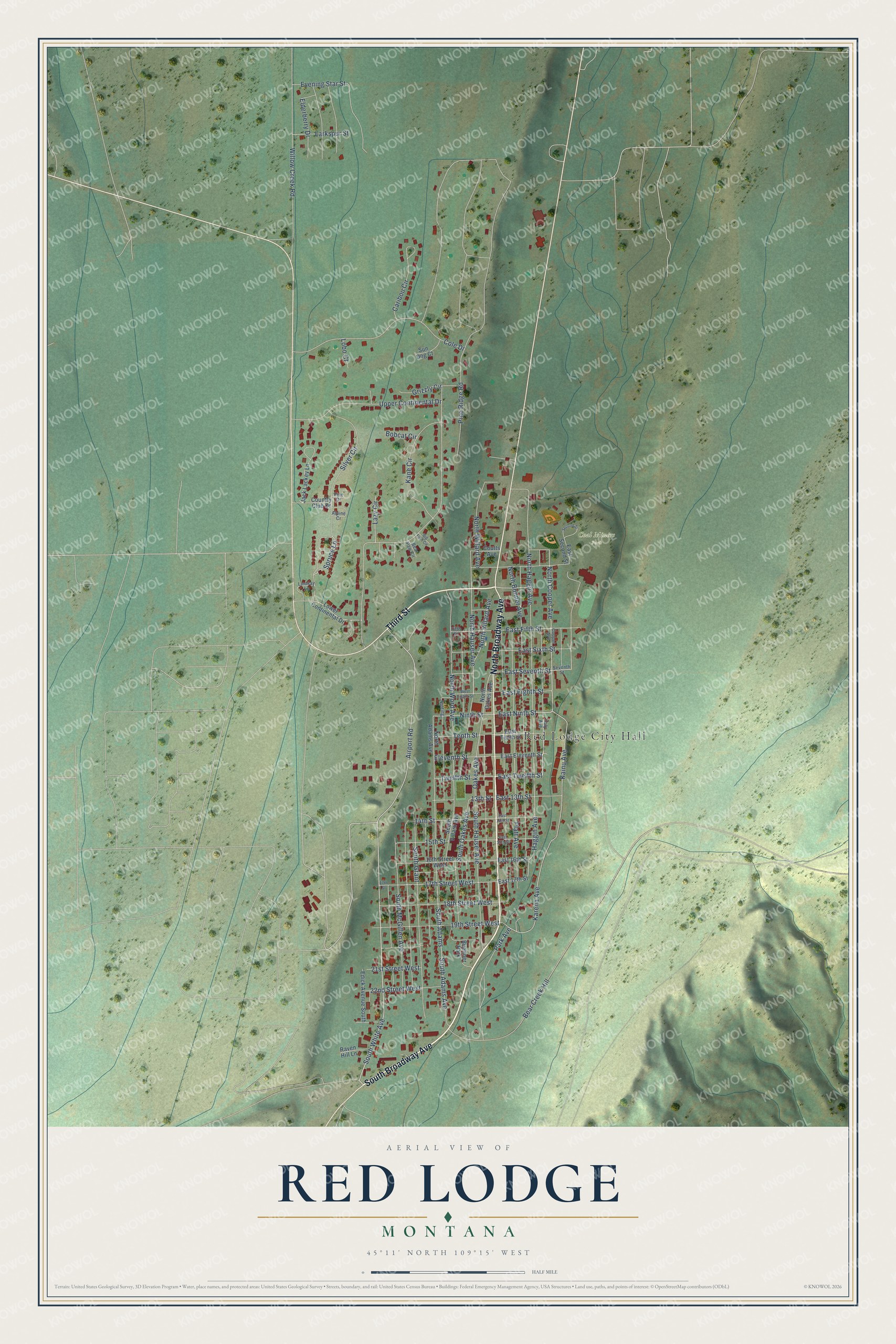
This beautifully detailed map of Red Lodge, Montana was created in 2026 using aerial imagery combined with modern topographical, census, street and landmark data. It's a modern aerial view of Red Lodge in Carbon County, Montana, that combines modern data with a vintage aesthetic. The roads feature printed names, and if you look closely you can find your exact house accurately shown in its correct location.
Explore an aerial view of Red Lodge, Montana
On this map you'll find Red Lodge City Hall, Coal Miners Park, South Broadway Avenue, Third Street, North Broadway Avenue, South White Avenue, East Twelfth Street, Airport Road, North Cooper Avenue, Ninth Street, East Fifth Street, Tenth Street, and more. Each red shape is a building, so zoom in on the preview and look for yours.
Here is a piece of Red Lodge history, in the words of the record. The Montana Historical Society puts it this way: "The town reeled from the closing of the last coal mine in 1932, but within four years the Beartooth Scenic Highway began to reveal Red Lodge to tourists, and a new era of development began."
Red Lodge is a city in Carbon County.
Take a closer look at the Red Lodge map
Names on this map
These names are printed on this map.
Places: Red Lodge City Hall, Coal Miners Park and Buettner Park.
Streets and roads: South Broadway Avenue, Third Street, North Broadway Avenue, South White Avenue, East Twelfth Street, Airport Road, North Cooper Avenue, Ninth Street, East Fifth Street, Tenth Street, East Seventh Street, South Adams Avenue.
More street names, A to Z
13th Street, 14th Street, 15th Street, 16th Street West, 17th Street, 17th Street West, 18th Street West, 19th Street West, 21st Street West, 22nd Street West, Alpine Cr, Bear Creek Hill, Bear Paw Circle, Big Foot Circle, Bobcat Circle, Caribou Circle, Cole Drive, Cooper Avenue, Country Club Drive, Coutts Avenue, Daly Avenue, East 13th Street, East 14th Street, East 15th Street, East 16th Street, East 17th Street, East Eighth Street, East Eleventh Street, East Ninth Street, East Second Street, East Sixth Street, East Tenth Street, Edick Avenue South, Elderberry Drive, Eleventh Street, Evening Star Street, Fifth Street, Grizzly Circle, Haggin Avenue, Jack Lackey Lane, Kainu Avenue, Kane Circle, Karena Avenue, Larkspur Street, Lazy Circle, Lindsay Lane, Lobo Court, Lower Continental Drive, North Adams Avenue, North Bonner Avenue, North Haggin Avenue, North Hauser Avenue, North Oakes Avenue, North Villard Avenue, North Willard Avenue, North Word Avenue, Nutting, Oakes Avenue, Park Avenue, Pine Drive, Pine Ridge Road, Platt Avenue, Raven Hill Lane, Second Street, Seventh Street, Silver Circle, South Adams, South Grant, South Hauser Avenue, South McGillen Avenue, South Oakes Avenue, South Villard Avenue, Spruce Lane, Sun Dog Court, Twelfth Street, Upper Continental Drive, West Eighth Street, Willow Creek Road.
Created by KNOWOL in 2026. The buildings are small red shapes, the roads carry their printed names, and shaded relief shows the shape of the land. The title panel reads "AERIAL VIEW OF RED LODGE MONTANA" with 45°11' NORTH 109°15' WEST.
It suits a den, a classroom or a front hall, and it makes a gift for anyone with Red Lodge roots. Open the preview and find the block you know. See sizes and frames for the Red Lodge map.