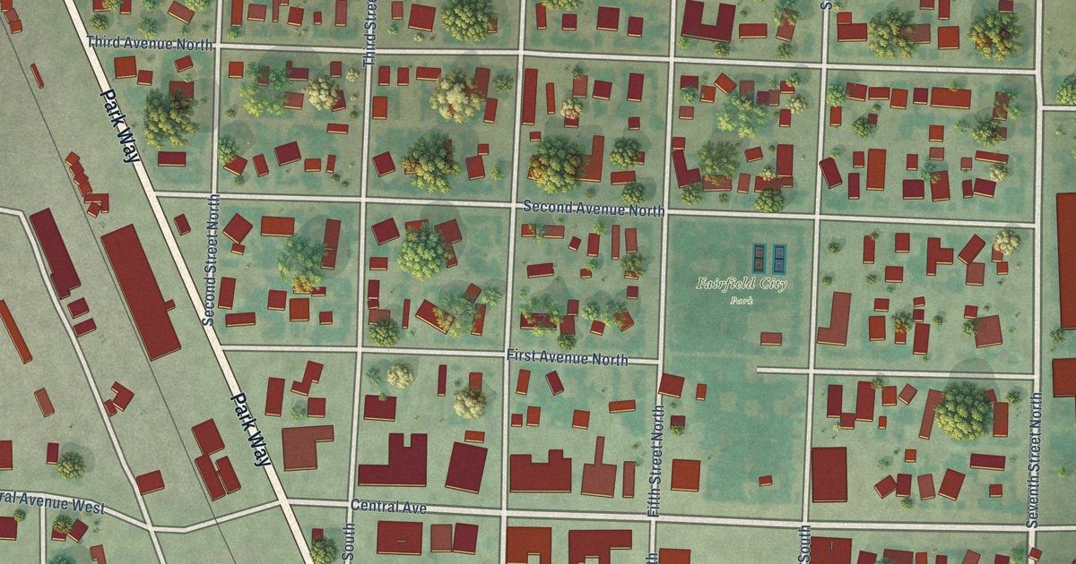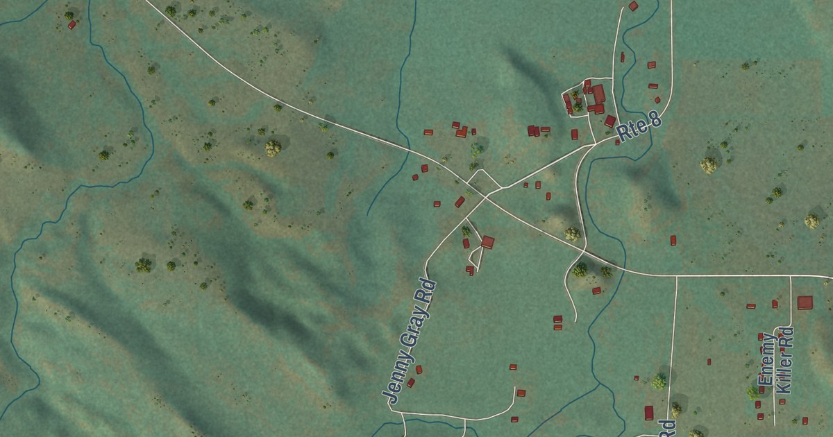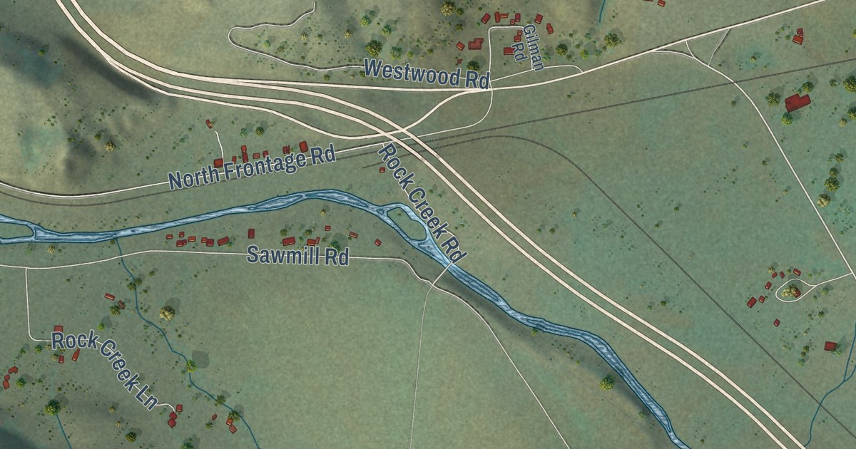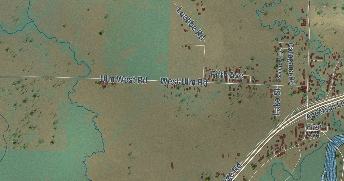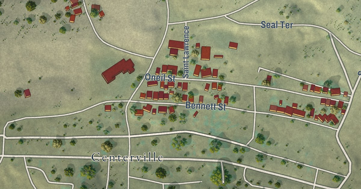
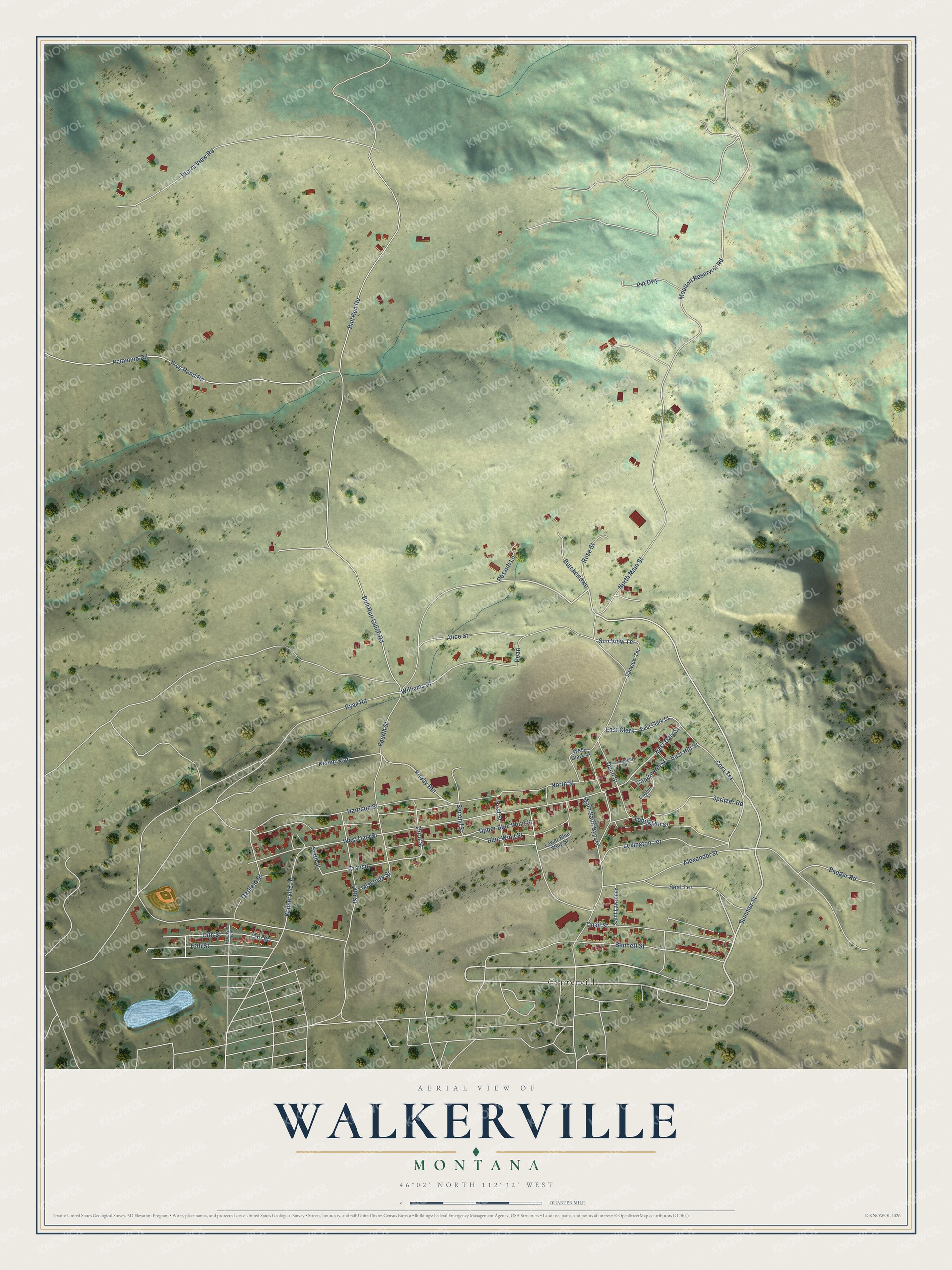
This beautifully detailed map of Walkerville, Montana was created in 2026 using aerial imagery combined with modern topographical, census, street and landmark data. It’s a one-of-a-kind view of Walkerville that combines accurate data with a vintage aesthetic. The map shows every building in its true location, many of the roads carry their names, and the shaded topographic relief shows the shape of the land.
Explore an aerial view of Walkerville, Montana
On the map you’ll find Centerville, Knoby Hill, and Transit, along with Summer Street, Seal Terrace, Moulton Reservoir Road, Ryan Road, Williams Street, Second Street, Cora Terrace, East Daly Street, Walkerville Drive, and more. If you look closely you can even find your house accurately drawn in its correct location. Zoom in on the preview to look for yours.
Did you know this piece of Walkerville, Montana history?
From Visit Montana: "Walkerville, a historic district adjacent to Butte, was named for the Walker Brothers of Salt Lake City, Utah, who owned and operated the Alice Mine at Walkerville. Walkerville was home to some of the earliest mining sites in the area."
Walkerville is a town in Silver Bow County.
Take a closer look at the Walkerville map
Street and place names on the Walkerville, Montana map
These names are printed on the map of Walkerville, Montana.
Places: Centerville.
Streets and roads: Summer Street, Seal Terrace, Moulton Reservoir Road, Ryan Road, Williams Street, Knoby Hill, Second Street, Cora Terrace, Transit, East Daly Street, Walkerville Drive, Bull Run Gulch Road.
More street names, A to Z
15th Street, 16th Street, 17th Street, Academy Street, Alexander Street, Alice Street, Badger Road, Bennett Street, Blue Wing Street, Bull Run Road, Butchertown, Capitol Hill Street, Clayton Street, Dunn Street, East Clark, East Clark Street, East Hill Street, Excelsior Avenue, Fifth Street, First Street, Fourth Street, Frog Pond Road, Garfield Street, Harrison Street, Lexington Terrace, Lower Blue Wing Street, Main Saint Bypass, Missoula Street, North Main Street, North Street, Oneil Street, Palomino Road, Pearl, Pesanti Lane, Pvt Dwy, Rising Star, Rose Street, Saint Lawrence, Sixth Street, Spritzer Road, Storm View Road, Sun View Terrace, Sunview Terrace, Third Street, Toboggan Street, Upper Blue Wing Street, West Clark Street, West Daly Street.
See the Walkerville, Montana map on a wall
The Walkerville map as an 18 x 24 inch print in a black frame.

This beautifully detailed map of Walkerville makes an attractive addition to your office, library, or den, and it can even be used to teach children the geography and history of the area. It also makes a great gift for anyone who grew up in Walkerville or moved away. When you’re done exploring, click here to get your copy of the Walkerville map.