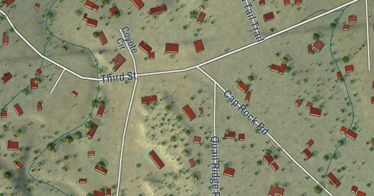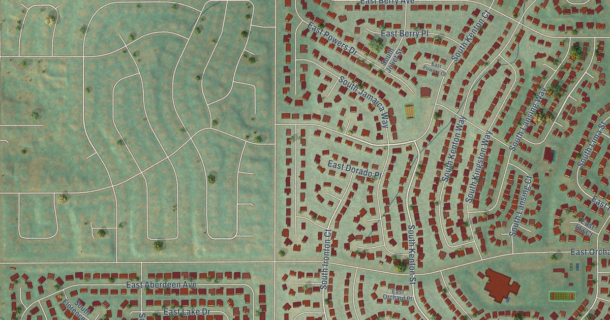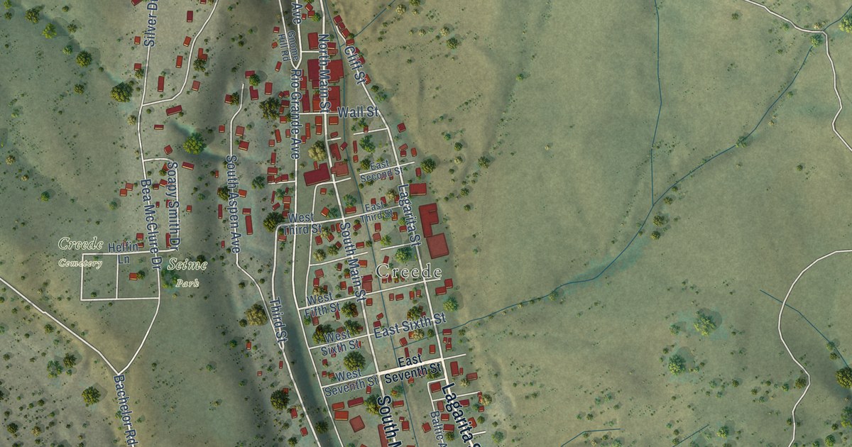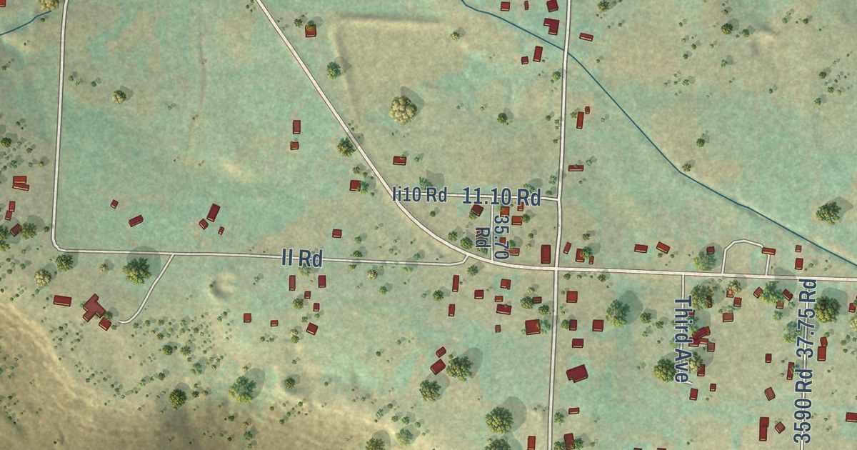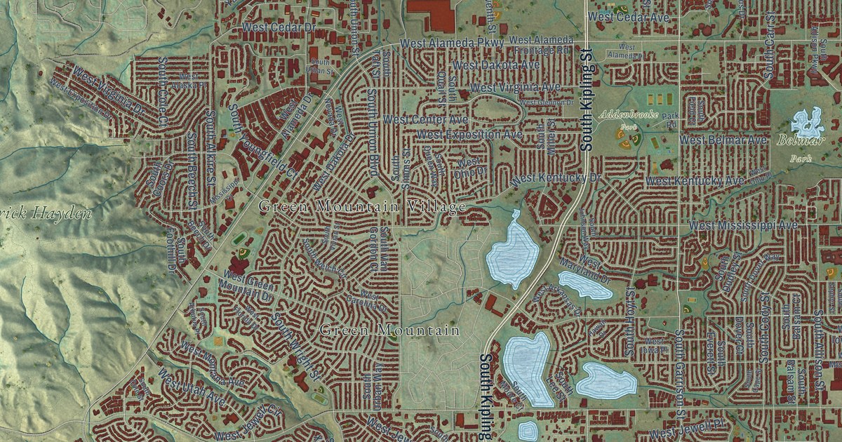
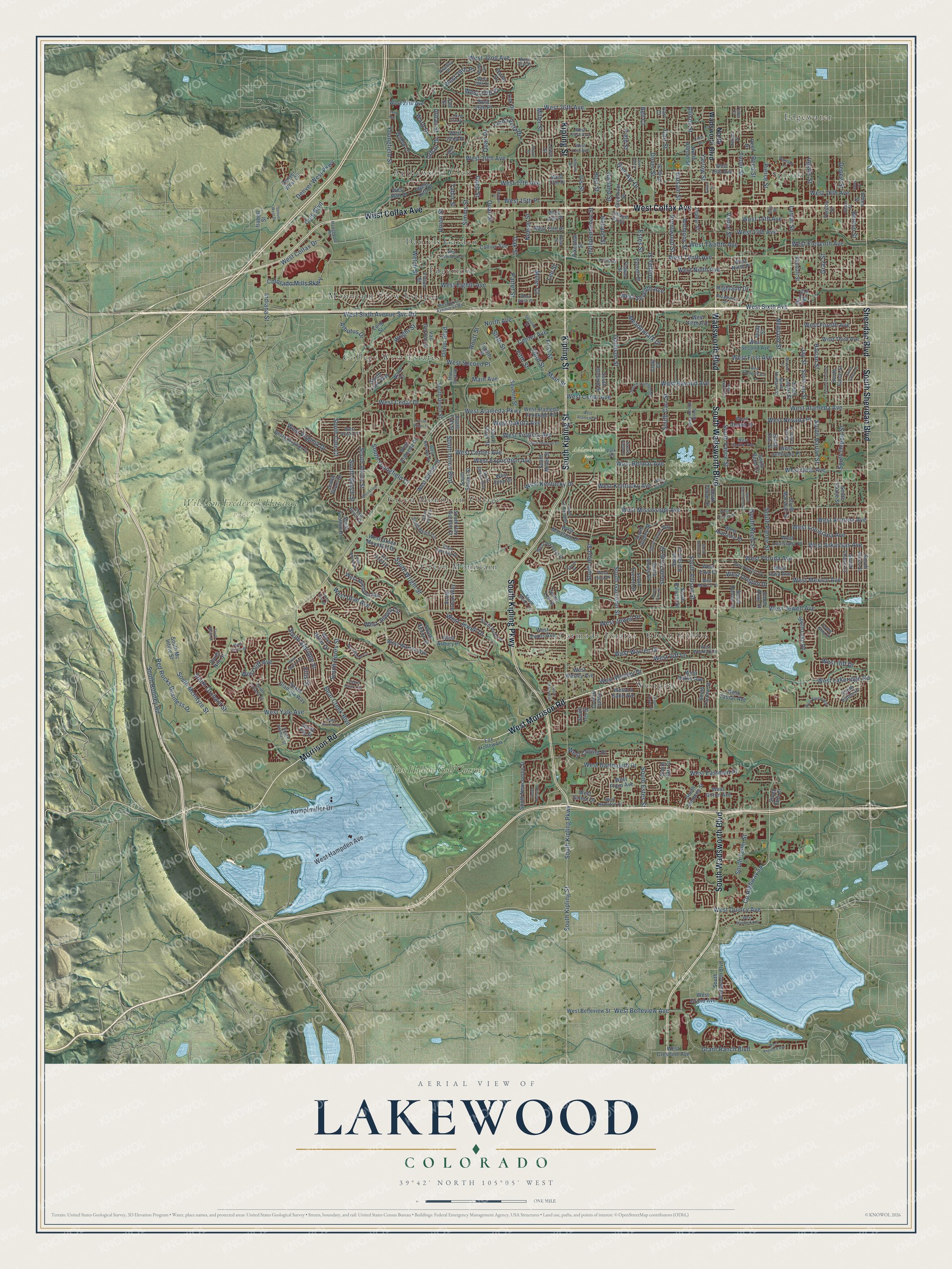
This beautifully detailed map of Lakewood, Colorado was created in 2026 using aerial imagery combined with modern topographical, census, street and landmark data. It’s a one-of-a-kind view of Lakewood that combines accurate data with a vintage aesthetic. The map shows every building in its true location, many of the roads carry their names, and the shaded topographic relief shows the shape of the land.
Explore an aerial view of Lakewood, Colorado
On the map you’ll find Addenbrooke Park, Belmar Park, William Frederick Hayden Park, Applewood Glen, Carmody Estates, College West Estates, Daniels Garden, Edgemont, Edgewater, Green Gables, Green Mountain, Green Mountain Village, and more. If you look closely you can even find your house accurately drawn in its correct location. Zoom in on the preview to look for yours.
Did you know this piece of Lakewood, Colorado history?
From the Colorado Encyclopedia: "Development began in earnest after major flooding destroyed orchards in the Denver area in 1864, leading many who lost trees in the flood to find higher ground west of the South Platte."
Take a closer look at the Lakewood map
Street and place names on the Lakewood, Colorado map
These names are printed on the map of Lakewood, Colorado.
Places: Addenbrooke Park, Belmar Park, William Frederick Hayden Park, Applewood Glen, Carmody Estates, College West Estates, Daniels Garden, Edgemont, Edgewater, Green Gables, Green Mountain, Green Mountain Village, Mountain View Estates, Spivak, Westgate and Fox Hollow Golf Course.
Streets and roads: South Wadsworth Boulevard, Morrison Road, West Morrison Road, West Colfax Avenue, South Kipling Parkway, Kipling Street, South Sheridan Boulevard, Wadsworth Boulevard, South Kipling Street, Sheridan Boulevard, West Yale Avenue, West Utah Avenue.
More street names, A to Z
26th Avenue, Allison Street, Ames Court, Ames Street, Ammons Street, Arbutus Drive, Balsam Street, Bear Creek Boulevard, Bell Court, Benton Street, Brentwood Street, Broadview Drive, Carr Court, Carr Street, Center Avenue, Chase Street, Cody Court, Cody Street, Cole Boulevard, Collins Avenue, Colorado Mills Parkway, County Highway 59, Crest Drive, Denver West Circle, Denver West Drive, Denver West Parkway, Depew Street, Dover Street, Dudley Street, Eighth Street, Ellis Street, Estes Street, Everett Street, Fenton Street, Field Street, Fifth Street, First Street, Flower Street, Fox Hollow Lane, Garland Street, Garrison Street, Glen Ayr Drive, Glen Dale Drive, Glenmoor Drive, Grant Ranch Boulevard, Gray Street, Harlan Street, Hawaii Drive, Hawthorne Road, Healing Way, Highland Drive, Holland Street, Hoyt Street, Independence Street, Indiana Street, Ingalls Street, Iris Street, Isabell Street, Jay Street, Jellison Street, Kendall Street, Kline Street, Kumpfmiller Drive, Lamar Street, Lee Street, Lewis Street, Linda Vista Drive, Lombardy Lane, Main Avenue, Main Street, Marshall Street, Meadow Creek Road, Meadowlark Drive, Miller Court, Miller Street, Mississippi Court, Moore Street, Nelson Street, Newland Court, Newland Street, North Allison Street, North Avenue, North Wadsworth Boulevard, Oak Drive, Oak Street, Otis Street, Parfet Drive, Parfet Street, Park Road, Pierce Street, Pierson Street, Pikeview Street, Quail Drive, Quail Street, Quay Street, Red Rocks Business Drive, Reed Drive, Reed Street, Robb Circle, Robb Street, Routt Street, Second Street, Seventh Street, Simms Street, Sixth Street, South Alkire Street, South Allison Parkway, South Allison Street, South Ames Street, South Ammons Street, South Arbutus Place, South Balsam Court, South Balsam Street, South Beech Drive, South Beech Street, South Campus Drive, South Cape Street, South Carr Court, South Carr Street, South Chase Court, South Chase Drive, South Chase Street, South Cody Street, South Cole Court, South Cole Street, South Coors Court, South Coors Drive, South Coors Street, South Depew Street, South Dover Court, South Dover Street, South Dover Way, South Dudley Street, South Eaton Place, South Eaton Street, South Eldridge Street, South Estes Street, South Everett Street, South Fenton Street, South Field Court, South Fig Street, South Foothill Drive, South Garrison Street, South Gladiola Way, South Gray Drive, South Harlan Street, South Holland Street, South Holman Street, South Hoyt Court, South Hoyt Street, South Indiana Street, South Iris Street, South Jay Street, South Johnson Way, South Lake Road, South Lamar Court, South Lamar Street, South Lee Street, South Lewis Way, South Marshall Street, South McIntyre Street, South Mc Intyre Street, South Miller Street, South Moore Court, South Moss Street, South Nelson Court, South Newcombe Street, South Newland Street, South Nile Street, South Orchard Street, South Otis Court, South Otis Street, South Parfet Drive, South Pierce Street, South Quail Street, South Quay Street, South Queen Way, South Reed Court, South Reed Street, South Rooney Road, South Saulsbury Street, South Simms Street, South Taft Street, South Teller Street, South Union Boulevard, South Union Street, South Upham Street, South Urban Street, South Urban Way, South Vance Street, South Van Gordon Court, South Vivian Street, South Welch Circle, South Wright Street, South Xenon Street, South Yank Way, South Yarrow Street, South Youngfield Court, South Yukon Street, South Zephyr Street, Swadley Drive, Tabor Drive, Tabor Street, Taft Street, Teller Court, Teller Street, Third Street, Union Boulevard, Union Street, Upham Street, Urban Drive, Urban Street, Vance Street, Van Gordon Street, Village Parkway, Vivian Street, Ward Court, Ward Drive, Welch Street, West 13th Avenue, West 13th Place, West 14th Avenue, West 14th Place, West 15th Place, West 16th Avenue, West 16th Drive, West 16th Place, West 17th Avenue, West 17th Place, West 19th Avenue, West 20th Avenue, West 21st Avenue, West 22nd Place, West 23rd Avenue, West 25th Avenue, West 26th Avenue, West 26th Place, West 27th Avenue, West 27th Place, West 28th Place, West 29th Place, West 31st Place, West 32nd Avenue, West Alabama Drive, West Alameda Avenue, West Alameda Drive, West Alameda Frontage Road, West Alameda Parkway, West Alameda Place, West Alaska Drive, West Alaska Place, West Arizona Avenue, West Arizona Place, West Arkansas Avenue, West Arkansas Drive, West Asbury Place, West Baker Avenue, West Baltic Avenue, West Baltic Drive, West Bayaud Avenue, West Belleview Avenue, West Belleview Street, West Belmar Avenue, West Calahan Avenue, West Carolina Drive, West Cedar Avenue, West Cedar Circle, West Cedar Drive, West Center Avenue, West Colfax Drive, West Cornell Avenue, West Cornell Place, West Crestline Avenue, West Custer Avenue, West Dakota Avenue, West Dakota Drive, West Dartmouth Place, West Eastman Place, West Eighth Avenue, West Eleventh Avenue, West Ellsworth Avenue, West Evans Avenue, West Evans Place, West Exposition Avenue, West Exposition Drive, West Fifth Avenue, West First Avenue, West Florida Avenue, West Florida Drive, West Floyd Avenue, West Fourth Avenue, West Girton Avenue, West Girton Drive, West Glennon Drive, West Grand Avenue, West Green Mountain Drive, West Hamilton Drive, West Hampden Avenue, West Iliff Avenue, West Iliff Drive, West Iliff Lane, West Iowa Avenue, West Iowa Drive, West Iowa Place, West Jefferson Place, West Jewell Avenue, West Jewell Circle, West Jewell Drive, West Jewell Place, West Katherine Avenue, West Kentucky Avenue, West Kentucky Drive, West Lakeridge Road, West La Salle Avenue, West Louisiana Avenue, West Louisiana Place, West Maryland Drive, West Mexico Avenue, West Mexico Place, West Mississippi Avenue, West Montana Avenue, West Nevada Drive, West Nevada Place, West Ninth Avenue, West Ninth Place, West Ohio Avenue, West Ohio Drive, West Ohio Place, West Oregon Drive, West Prentice Avenue, West Quincy Avenue, West Second Avenue, West Second Place, West Seventh Avenue, West Sixth Avenue, West Sixth Avenue Ft Road, West Sixth Avenue Svc Road, West Sixth Place, West Stanford Avenue, West Tenth Avenue, West Third Avenue, West Twelfth Avenue, West Vassar Avenue, West Vassar Way, West Virginia Avenue, West Virginia Drive, West Warren Avenue, West Warren Circle, West Warren Drive, West Wesley Avenue, West Wesley Drive, West Woodard Drive, Willow Lane, Wright Street, Yarrow Street, Youngfield Street, Yukon Street, Zang Street, Zephyr Street.
See the Lakewood, Colorado map on a wall
The Lakewood map as an 18 x 24 inch print in a black frame.

This beautifully detailed map of Lakewood makes an attractive addition to your office, library, or den, and it can even be used to teach children the geography and history of the area. It also makes a great gift for anyone who grew up in Lakewood or moved away. When you’re done exploring, click here to get your copy of the Lakewood map.