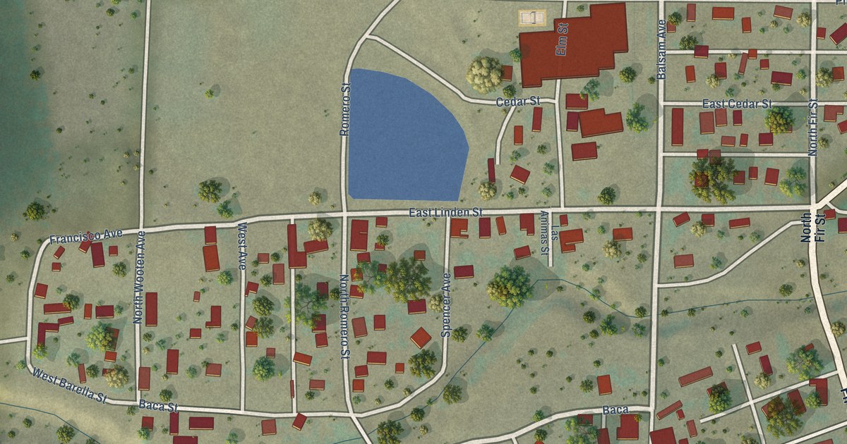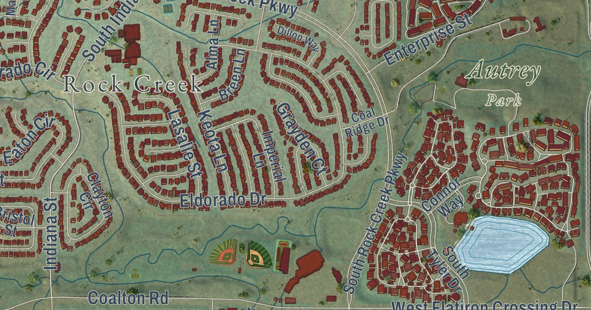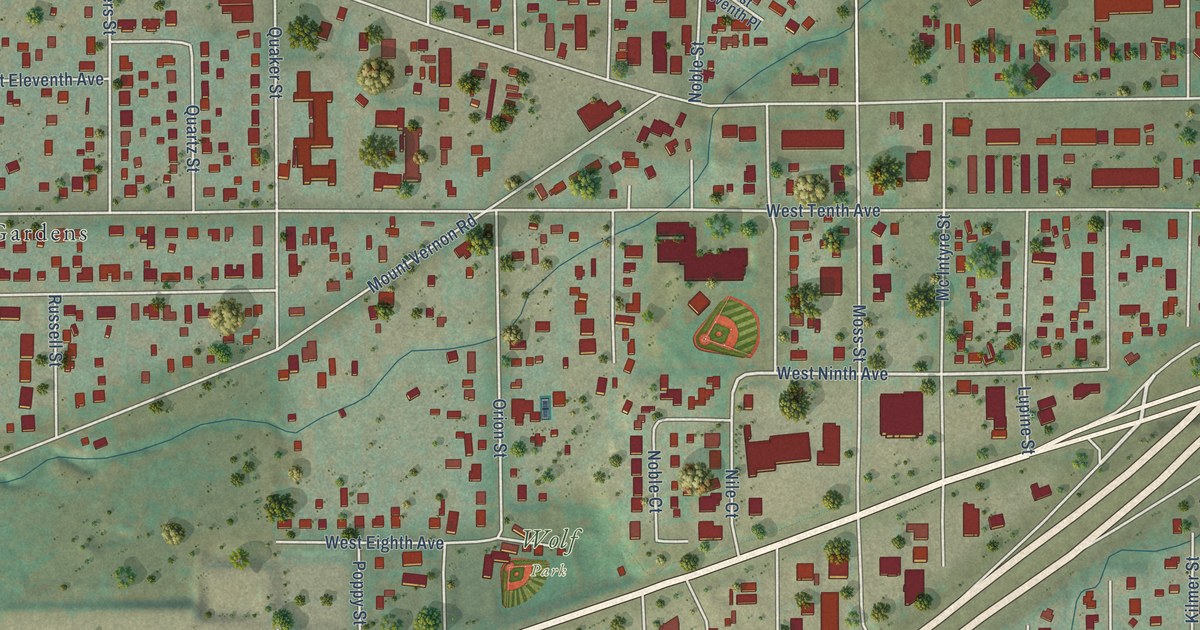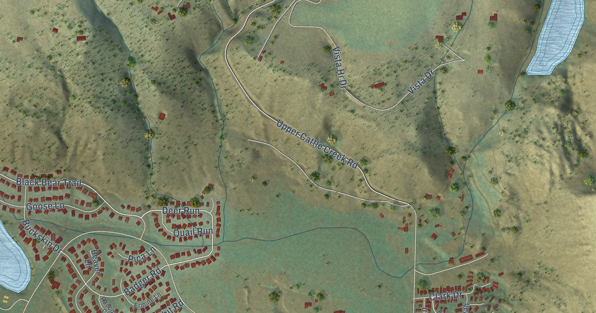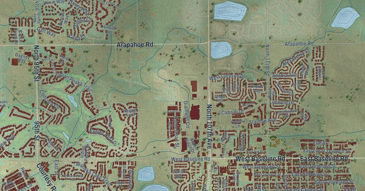
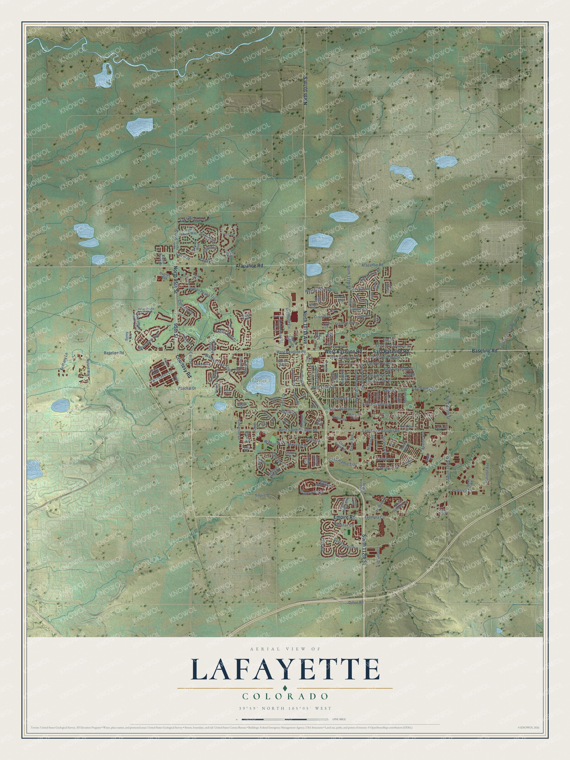
This beautifully detailed map of Lafayette, Colorado was created in 2026 using aerial imagery combined with modern topographical, census, street and landmark data. It’s a one-of-a-kind view of Lafayette that combines accurate data with a vintage aesthetic. The map shows every building in its true location, many of the roads carry their names, and the shaded topographic relief shows the shape of the land.
Explore an aerial view of Lafayette, Colorado
On the map you’ll find Lafayette City Hall, Two Creeks Open Space, and Waneka Park, along with South 112th Street, Baseline Road, North 107th Avenue, East Baseline Road, West Baseline Road, Empire Road, 95th Street, Courtesy Road, Arapahoe Road, and more. If you look closely you can even find your house accurately drawn in its correct location. Zoom in on the preview to look for yours.
Did you know this piece of Lafayette, Colorado history?
From the National Register of Historic Places: "The Kullgren House, built by Andrew Kullgren, remains as one of the best preserved examples of the residential architecture typical of the prosperous element of Lafayette."
Take a closer look at the Lafayette map
Street and place names on the Lafayette, Colorado map
These names are printed on the map of Lafayette, Colorado.
Places: Lafayette City Hall, Two Creeks Open Space and Waneka Park.
Streets and roads: South 112th Street, Baseline Road, North 107th Avenue, East Baseline Road, West Baseline Road, Empire Road, 95th Street, Courtesy Road, Arapahoe Road, North 95th Street, North 107th Street, South Public Road.
More street names, A to Z
Acadia Avenue, Alexandria Street, Alsace Way, Anchor Place, Apollo Drive, Arbor Drive, Arthur Street, Aspen Ridge Drive, Atlantis Drive, Autumn Ridge Boulevard, Avalon Avenue, Banneks, Bass Circle, Blue Heron Way, Blue Jay Way, Brittany Lane, Brome Avenue, Butte Road, Cabrini Drive, Cana Court, Caria Drive, Casper Drive, Centaur Circle, Centaur Village Drive, Ceres Drive, Cheyenne Drive, Chiron Street, Cimarron Drive, Clipper Drive, Clover Circle, Coal Creek Drive, Concord Circle, Conoco Plaza, Cordova Court, Crescent Drive, Cristo Lane, Cross Creek Drive, Crossing Drive, Dagney Way, Delphi Drive, Delta Drive, Diamond Circle, Dillon Road, Distel Drive, Dixon Avenue, Doric Drive, Dounce Street, Dove Drive, Dusty Boot Drive, Eagles Nest Drive, East Cannon Street, East Chester Street, East Cleveland Street, East County Line Road, East Elm Street, East Emma Street, East Geneseo Street, East Simpson Street, East South Boulder Road, East Spaulding Street, East Street, Elk Trail, Elm Street, Empire Drive, Etna Drive, Euclid Circle, Excalibur Street, Exempla Circle, Galt Way, Ginny Way, Glenwood Drive, Grand Lake Drive, Harrison Drive, Harvest Drive, Hawk Ridge Road, High Lonesome Trail, Hillside Terrace, Homestead Street, Horizon Avenue, Hoyt Lane, Ilium Drive, Indian Peaks Drive, Indian Peaks Trail, Indian Peaks Trail West, Kimbark Street, Lake Meadow Drive, Lander Lane, Lodgewood Lane, London Avenue, Lucerne Drive, Lydia Drive, Majestic Drive, Merlin Drive, Mills Street, Milo Circle, Miners Drive, Minotaur Circle, Minotaur Drive, Navajo Trail, North 111th Street, North 120th Street, North Park Drive, North Street, Nyland Way, Old Laramie Trail, Oriole Drive, Orion Drive, Overlook Drive, Pan Court, Park Lane, Park Street, Paschal Drive, Pioneer Circle, Portside Court, Redwood Avenue, Robin Hood Street, Robin Street, Rock Creek Circle, Roser Drive, Rowena Place, Rufous Way, Saint Ida Circle, Salina Street, Sal Street, Sandpiper Drive, Saratoga Drive, Sedge Way, Shallot Circle, Shoshone Trail, Skylark Circle, Snowbird Lane, South 120th Street, South Carr Avenue, South Lafayette Drive, South Miller Avenue, South Point Drive, South Roosevelt Avenue, Sparta Drive, Spring Creek Drive, Stagecoach Drive, Stage Station Way, Starline Avenue, Stein Street, Sunny Way, Sutton Circle, Twin Lakes Circle, Vetch Circle, Viridian Drive, Waneka Lake Trail, Waneka Parkway, Warrior Way, Wellington Avenue, West Emma Street, West Geneseo Street, West Indian Peaks Trail, West Lucerne Drive, West Oak Street, West Simpson Street, West South Boulder Road, West Spaulding Street, West Sutton Circle, Whitetail Circle, Wild Ridge Lane, Wilson Street, Zenith Avenue, Zeus Drive, Zinnia Circle.
See the Lafayette, Colorado map on a wall
The Lafayette map as an 18 x 24 inch print in a black frame.

This beautifully detailed map of Lafayette makes an attractive addition to your office, library, or den, and it can even be used to teach children the geography and history of the area. It also makes a great gift for someone who left Lafayette and still calls it home. When you’re done exploring, click here to get your copy of the Lafayette map.