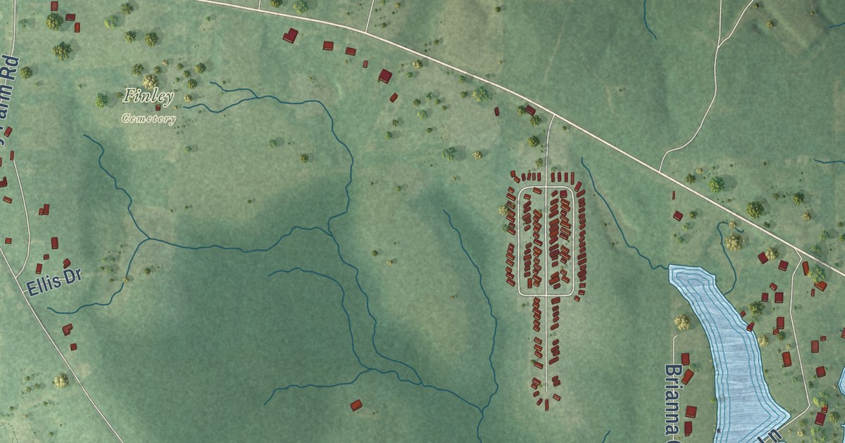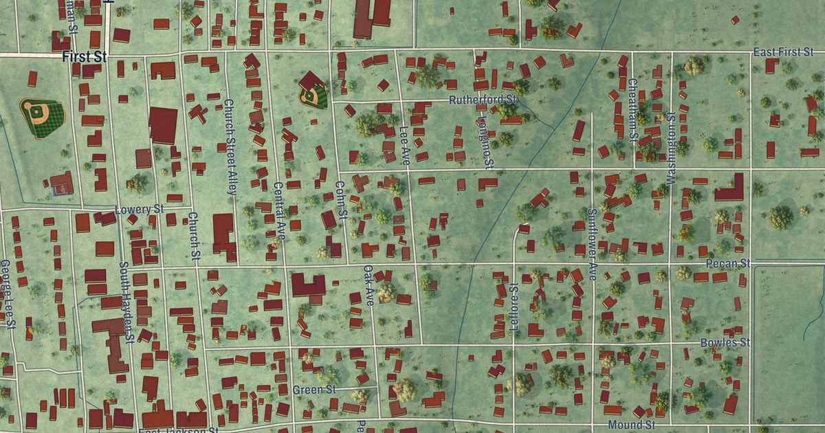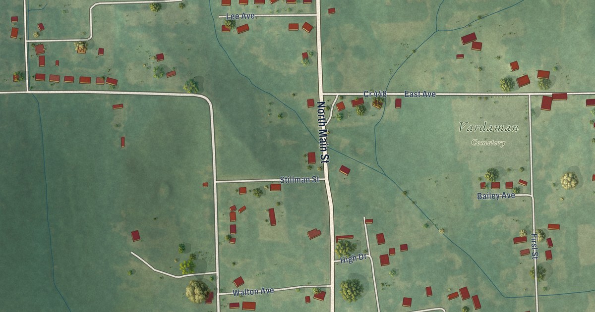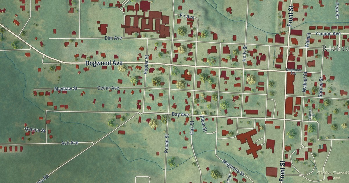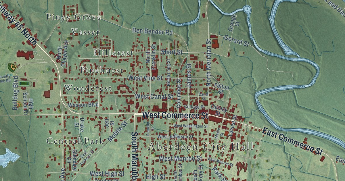
This beautifully detailed map of Aberdeen, Mississippi was created in 2026 using aerial imagery combined with modern topographical, census, street and landmark data. It’s a one-of-a-kind view of Aberdeen that combines accurate data with a vintage aesthetic. The map shows every building in its true location, many of the roads carry their names, and the shaded topographic relief shows the shape of the land.
Explore an aerial view of Aberdeen, Mississippi
On the map you’ll find Aberdeen City Hall, East Aberdeen, Lakewood, Stanford, Evergreen, Tucker Place, Central Park, Green Acres, Hillcrest, Pinehurst, Piney Grove, Tanglewood, and more. If you look closely you can even find your house accurately drawn in its correct location. Zoom in on the preview to look for yours.
Did you know this piece of Aberdeen, Mississippi history?
From the Mississippi A Guide to the Magnolia State: "In 1836, after the Indian land cessions, Gordon, who founded the town as a trading post, auctioned building lots to new settlers, and in 1849 Aberdeen had grown so swiftly that it became the county seat."
Take a closer look at the Aberdeen map
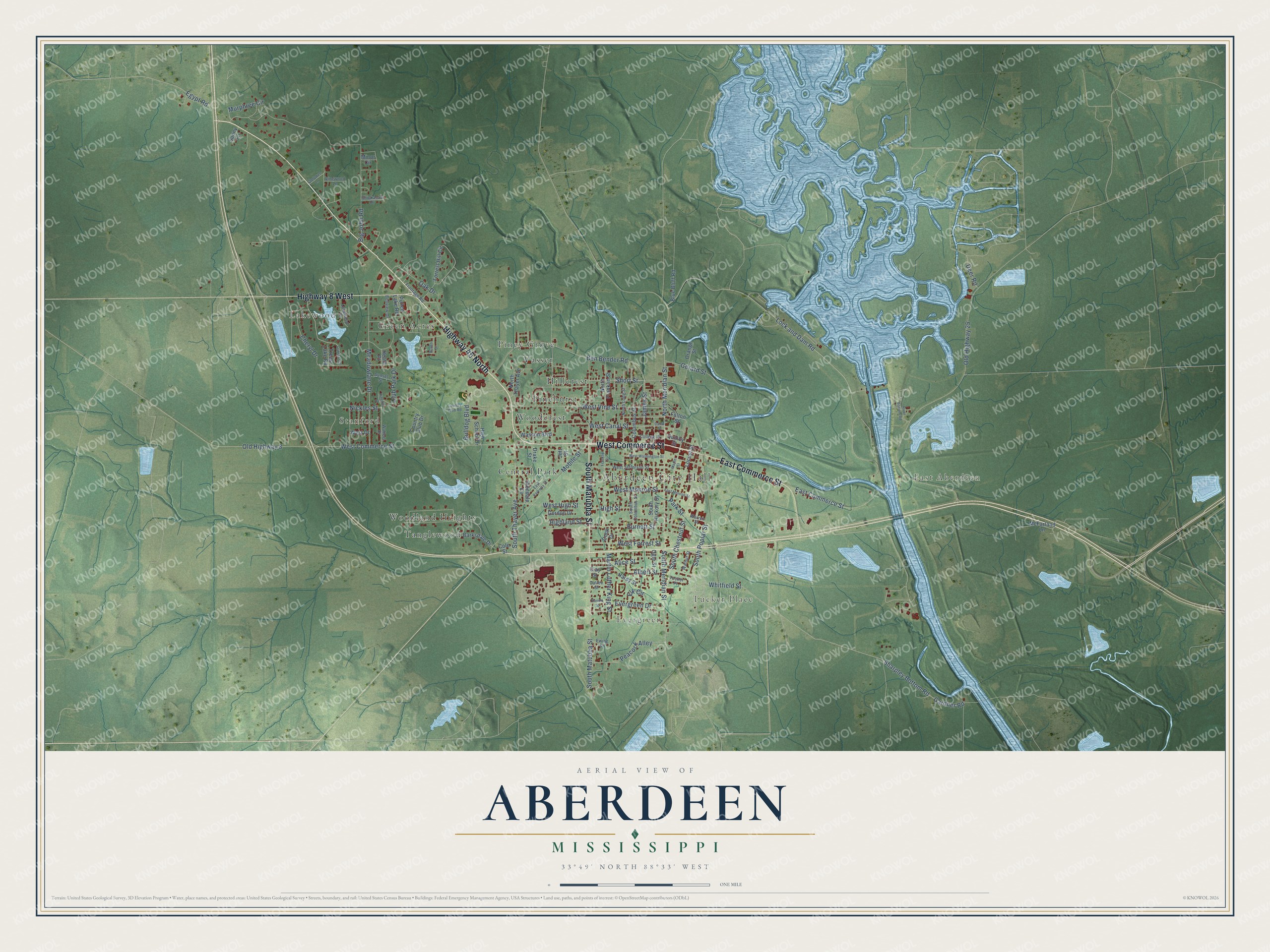
Street and place names on the Aberdeen, Mississippi map
These names are printed on the map of Aberdeen, Mississippi.
Places: Aberdeen City Hall, East Aberdeen, Lakewood, Stanford, Evergreen, Tucker Place, Central Park, Green Acres, Hillcrest, Pinehurst, Piney Grove, Tanglewood, Vasser, Woodcrest and Woodland Heights.
Streets and roads: Highway 45 North, West Commerce Street, East Commerce Street, South Matubba Street, Highway 8 West, North Meridian Street, South Meridian Street, Park Street, Cheryl Drive, Nickles Street, Sharpley Bottom Road, Oak Drive.
More street names, A to Z
Albert Street, Alice Street, Barksdale Drive, Bellview Drive, Ben Bender Road, Big John Road, Blue Bluff Road, Bulldog Boulevard, Burnett Street, Canal Street, Catlee Street, Cherokee Lane, Chickasaw Drive, Clay Street, Club Park Drive, Cole Street, College Place, Columbus Street, Cook Drive, Country Club Drive, Country Club Road, Deer Road, Drake Street, East Monroe Street, East Parkway Street, Egypt Road, Elk Circle, Evergreen Drive, Ewing Drive, Forrest Hill Circle, Franklin Street, Frontage Road, Fulton Street, Gardner Road, Gerard Street, Glendale Circle, Gordon Drive, Hardy Street, Heath Place, Highland Street, High School Drive, High Street, James Street, Jett Street, Lakewood Drive, Lock and Dam Road, Locust Street, Maple Street, Martin Luther King Street, McFarland Lane, Meadowlane Drive, Minor Circle, Mobile Street, Murphree Circle, North Franklin Street, North Long Street, North Thayer Avenue, Oakland Drive, Ogle Street, Old Highway 8, Old Highway 25, Orange Street, Peacock Alley, Pinehill Drive, Pullen Drive, Pullen Lake Road, Quincy Street, Randle Street, River Bottom Road, Short Street, South Chestnut Street, South Columbus Street, South Hickory Street, South Poplar Street, South Thayer Avenue, Sunny Lane, Sunset Street, Treas Lake Road, Vinewood Lane, Walnut Street, Walters Drive, Warren Street, Wasson Boulevard, West Canal Street, West Drive, West Forrest Street, West High Street, West Jefferson Street, West Monroe Street, West Vine Street, West Washington Street, Whitfield Street.
See the Aberdeen, Mississippi map on a wall
The Aberdeen map as an 18 x 24 inch print in a black frame.

This beautifully detailed map of Aberdeen makes an attractive addition to your office, library, or den, and it can even be used to teach children the geography and history of the area. It also makes a great gift for someone who left Aberdeen and still calls it home. When you’re done exploring, click here to get your copy of the Aberdeen map.