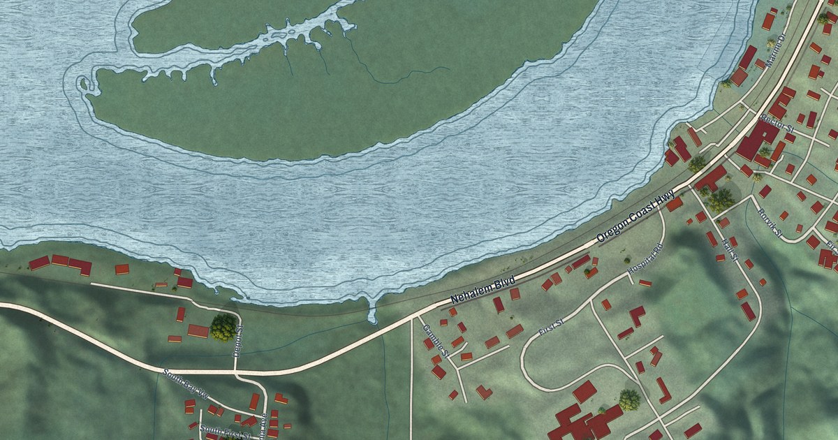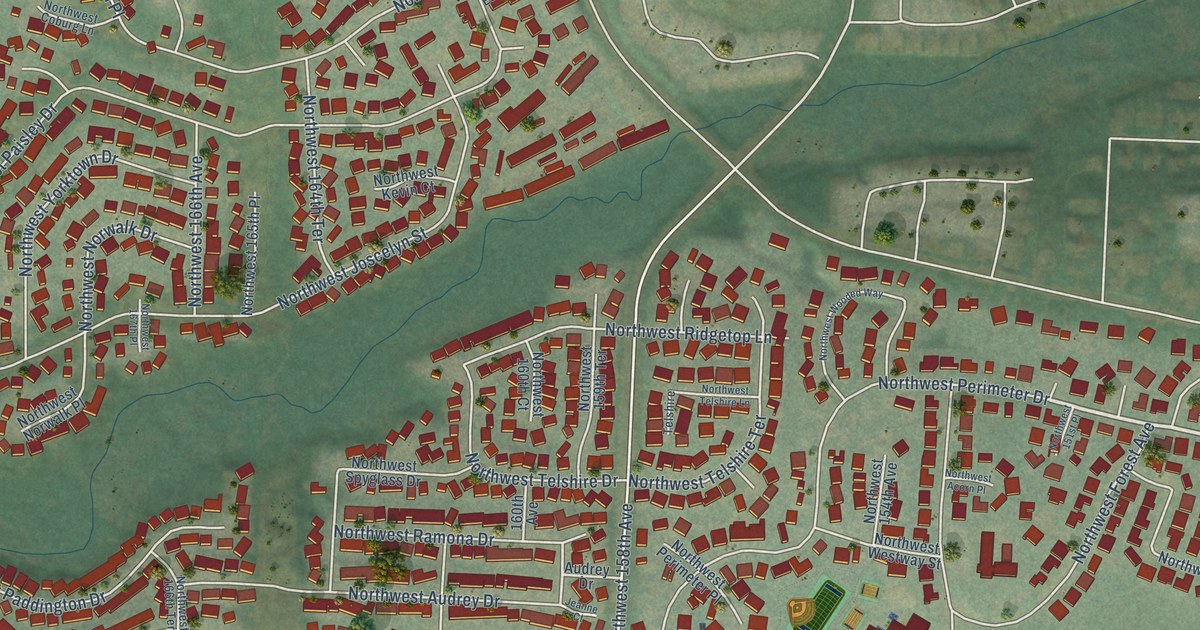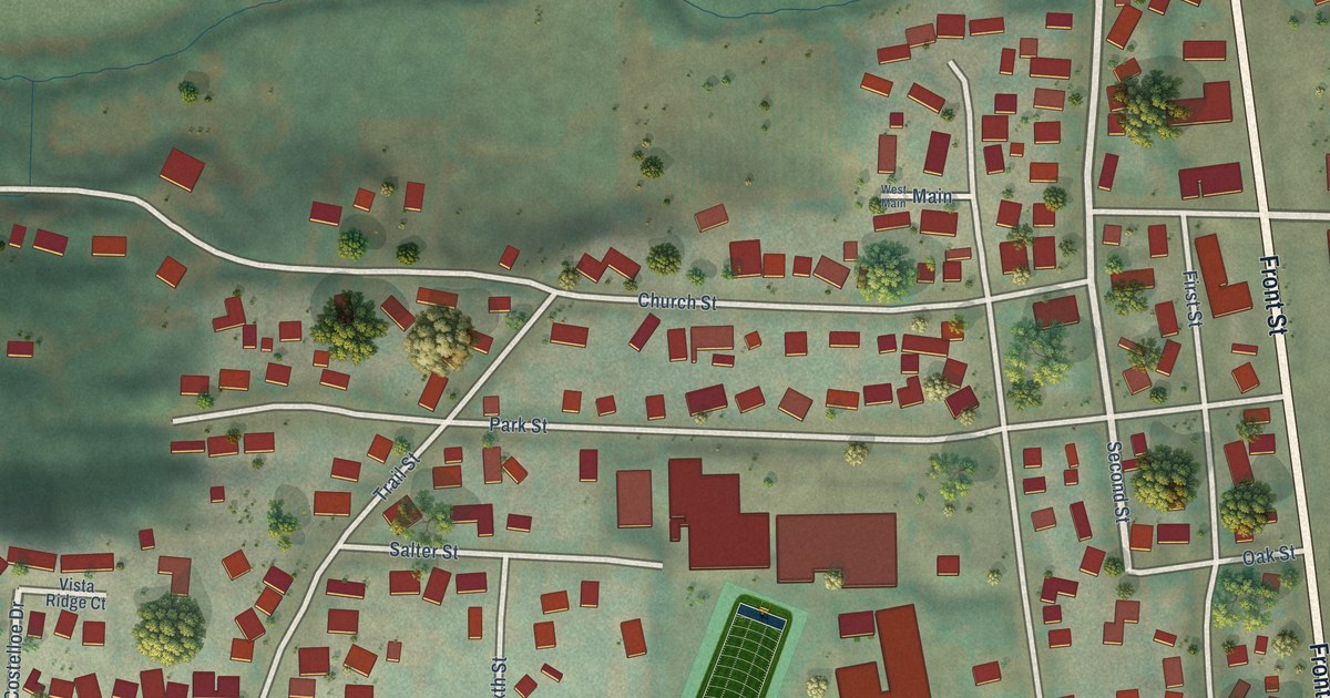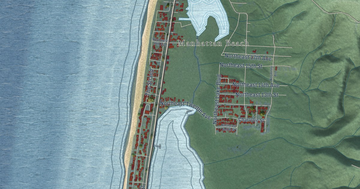
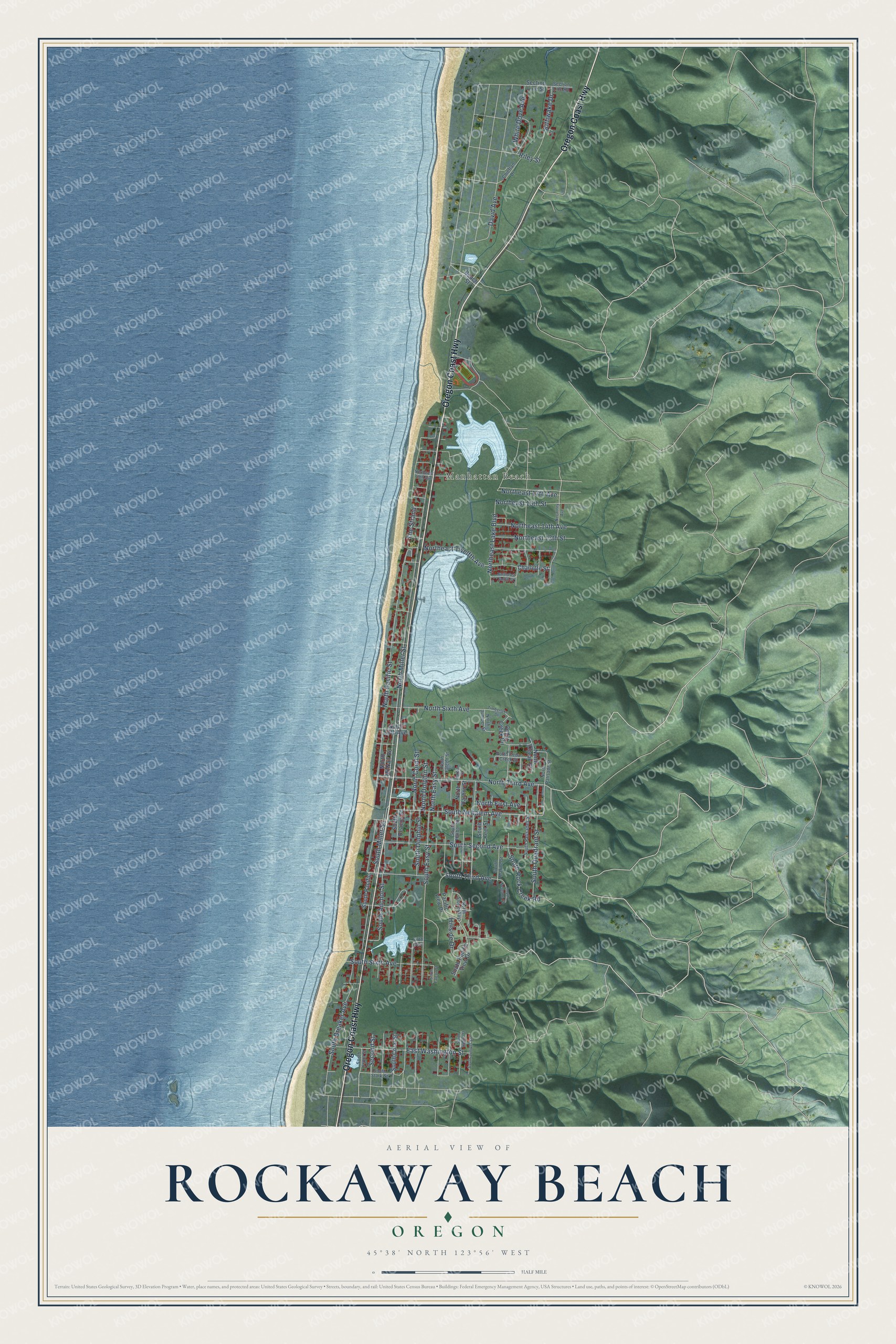
This beautifully detailed map of Rockaway Beach, Oregon was created in 2026 using aerial imagery combined with modern topographical, census, street and landmark data. It's a modern aerial view of Rockaway Beach in Tillamook County, Oregon, that combines modern data with a vintage aesthetic. The roads feature printed names, and if you look closely you can find your exact house accurately shown in its correct location.
Explore an aerial view of Rockaway Beach, Oregon
On this map you'll find Manhattan Beach, Oregon Coast Highway, South Nehalem Avenue, South Third Avenue, South Anchor Street, North Miller Street, North Pacific Street, South Easy Street, North Third Avenue, South Second Avenue, Northeast Lake Boulevard, South Dolphin Street, and more. Each red shape is a building, so zoom in on the preview and look for yours.
Every town has a first chapter, and Rockaway Beach is no exception. The Takeout puts it this way: "Do corndogs originate in Iowa, though? Not according to the founders of Oregon-based Pronto Pups. They claim to have come up with the idea on a rainy day at Rockaway Beach."
Rockaway Beach is a city in Tillamook County.
Take a closer look at the Rockaway Beach map
Names on this map
These names are printed on this map.
Places: Manhattan Beach.
Streets and roads: Oregon Coast Highway, South Nehalem Avenue, South Third Avenue, South Anchor Street, North Miller Street, North Pacific Street, South Easy Street, North Third Avenue, South Second Avenue, Northeast Lake Boulevard, South Dolphin Street, Northeast Twelfth Avenue.
More street names, A to Z
Beach Street, Cedar Creek Circle, Charlotte Street, Chieftan Drive, David Avenue, East Washington Street, Fifth Avenue, Harbor Street, Hillside Drive, Kittiwake Drive, Necarney Avenue, North Cedar Creek Street, North Coral Street, North Dolphin Street, Northeast 13th Street, Northeast 14th Avenue, Northeast 15th Street, Northeast 17th Avenue, Northeast Smith Street, North Easy Street, North Falcon Street, North Fifth Avenue, North First Avenue, North Harbor Street, North Juniper Street, North McNair Road, North Ocean Street, North Palisade Street, North Sixth Avenue, North Slope Way, Northwest 19th Avenue, Pacific View Drive, Riley Street, Second Street, Section Line Road, Section Line Street, South Beacon Street, South Breaker Avenue, South Coral Street, South Falcon Street, South Front Street, South Harbor Street, South Island Street, South Juniper Street, South Keel Street, South Marine Street, South Miller Street, South Neptune Street, South Pacific, South Pacific View Drive, South Palisades Street, South Quadrant Street, South Rock Creek Road, South Sixth Avenue, South Stark Street, The Strand, Timberlake Drive, White Dove Avenue.
Created by KNOWOL in 2026. The buildings are small red shapes, the roads carry their printed names, and shaded relief shows the shape of the land. The title panel reads "AERIAL VIEW OF ROCKAWAY BEACH OREGON" with 45°38' NORTH 123°56' WEST.
Hang it in the hallway, the office or the cabin, or give it to someone who left Rockaway Beach and still calls it home. Open the preview and look for a street you know. See sizes and frames for the Rockaway Beach map.