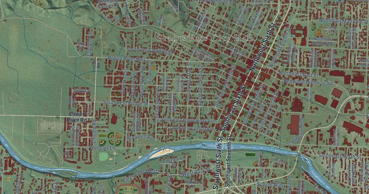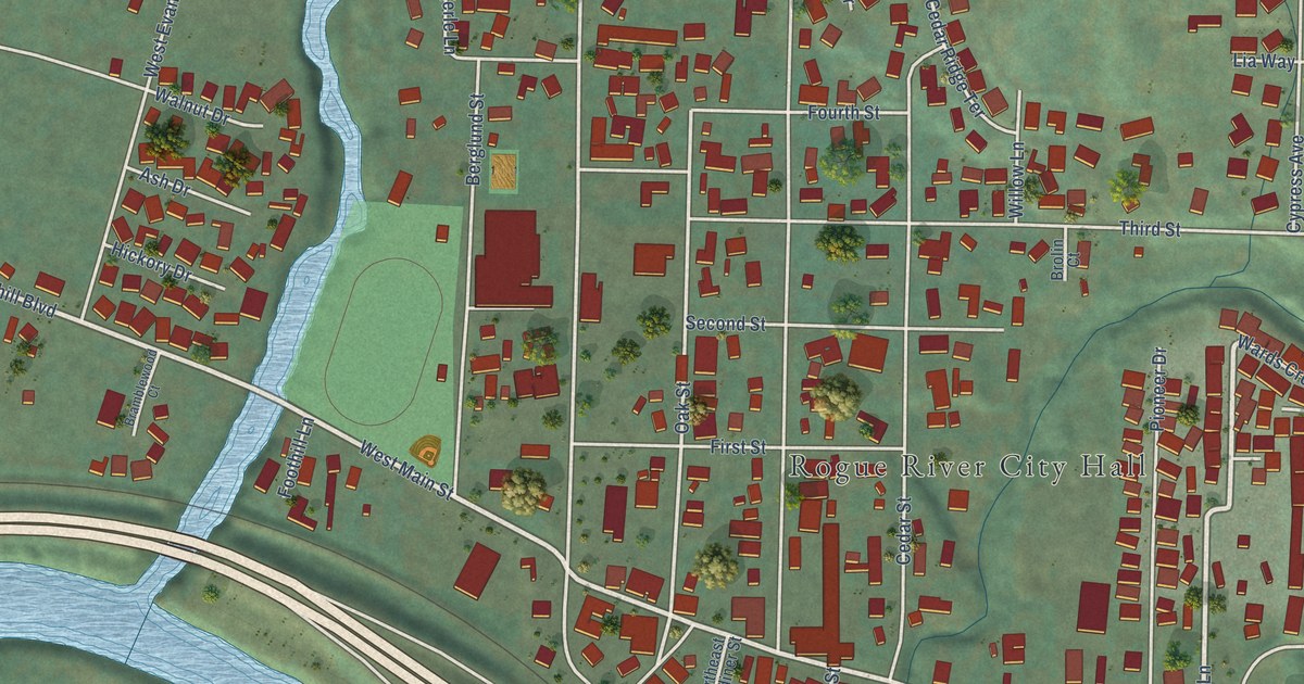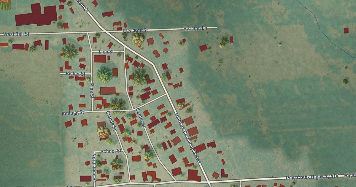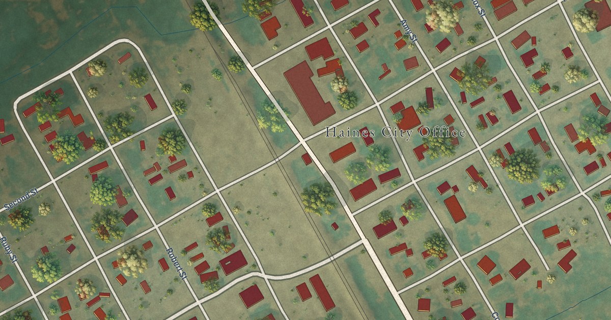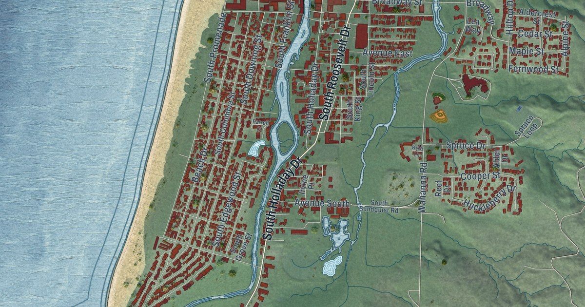
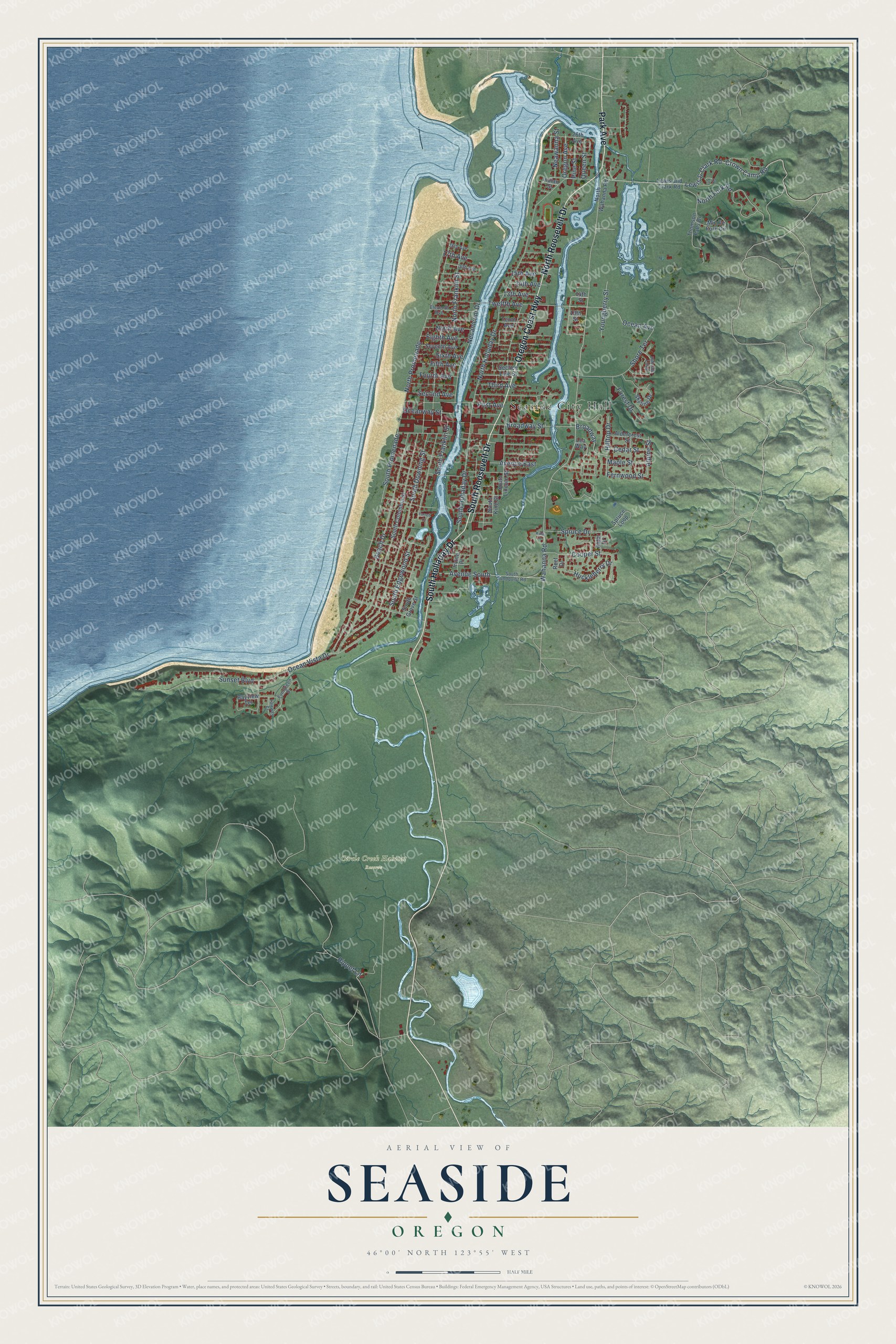
This beautifully detailed map of Seaside, Oregon was created in 2026 using aerial imagery combined with modern topographical, census, street and landmark data. It's a modern aerial view of Seaside in Clatsop County, Oregon, that combines modern data with a vintage aesthetic. The roads feature printed names, and if you look closely you can find your exact house accurately shown in its correct location.
Explore an aerial view of Seaside, Oregon
On this map you'll find Seaside City Hall, Circle Creek Habitat Reserve, South Holladay Drive, Oregon Coast Highway, South Roosevelt Drive, North Roosevelt Drive, Park Avenue, Wahanna Road, 13th Avenue, Queen Street, Lewis & Clark Road, Broadway, and more. Each red shape is a building, so zoom in on the preview and look for yours.
Every town has a first chapter, and Seaside is no exception. The record at oregonencyclopedia.org puts it this way: "The Latties operated Summer House, the area’s first boarding house on what is now the Seaside Golf Course."
Seaside is a city in Clatsop County.
Take a closer look at the Seaside map
Names on this map
These names are printed on this map.
Places: Seaside City Hall and Circle Creek Habitat Reserve.
Streets and roads: South Holladay Drive, Oregon Coast Highway, South Roosevelt Drive, North Roosevelt Drive, Park Avenue, Wahanna Road, 13th Avenue, Queen Street, Lewis & Clark Road, Broadway, Alpine Street, Twelfth Avenue.
More street names, A to Z
13th Street, 14th Avenue, 14th Street, 15th Avenue, 16th Avenue, 17th Avenue, 18th Avenue, 26th Avenue, Aldercrest Street, Alder Drive, Avenue East, Avenue South, Bayview Terrace, Beach Drive, Broadway Street, Cedar Street, Cooper Street, Crown Camp Road, Eighth Avenue, Eleventh Avenue, Elk Lane, Evergreen Drive, Fairway Court, Farrell Court, Fernwood Street, Fifth Avenue, First Avenue, Forest Drive, Fourth Avenue, Hillside Loop, Hilltop Drive, Huckleberry Drive, Indian Street, Irvine Place, Kyla Lane, Lea Way, Lewis and Clark Road, Maple Street, Middle Fork Circle, Neawanna Street, Necanicum Drive, Ninth Avenue, North Fork Road, North Franklin Street, North Holladay Drive, North Promenade, North Wahanna Road, Ocean Avenue, Ocean Vista Drive, Oceanway Street, Oregon Avenue, Pine Street, Reef Drive, Rippet Lane, Second Avenue, Section Line Street, Seventh Avenue, Shore Terrace, Sixth Avenue, Skyline Drive, South Columbia Street, South Downing Street, South Edgewood Street, South Franklin Street, South Grove Street, South King Street, South Lincoln Street, South Promenade, South Sundquist Road, Spruce Drive, Spruce Loop, Sunset Boulevard, Tenth Avenue, Third Avenue, Thomson Falls Drive, Youngberry Street.
Created by KNOWOL in 2026. The buildings are small red shapes, the roads carry their printed names, and shaded relief shows the shape of the land. The title panel reads "AERIAL VIEW OF SEASIDE OREGON" with 46°00' NORTH 123°55' WEST.
Hang it in the hallway, the office or the cabin, or give it to someone who left Seaside and still calls it home. Open the preview and look for a street you know. See sizes and frames for the Seaside map.