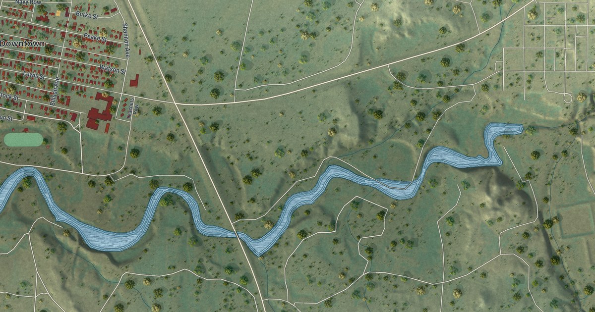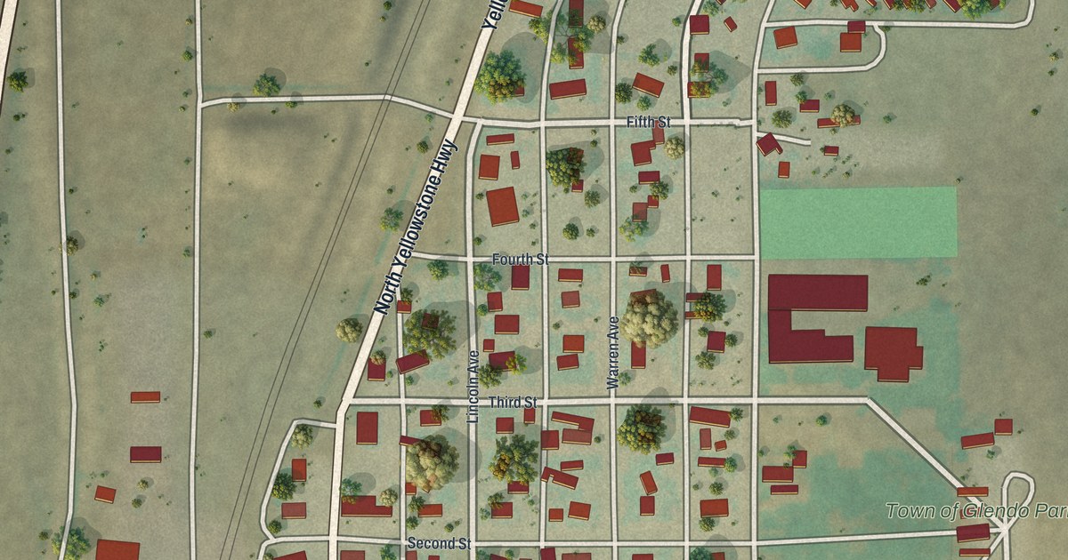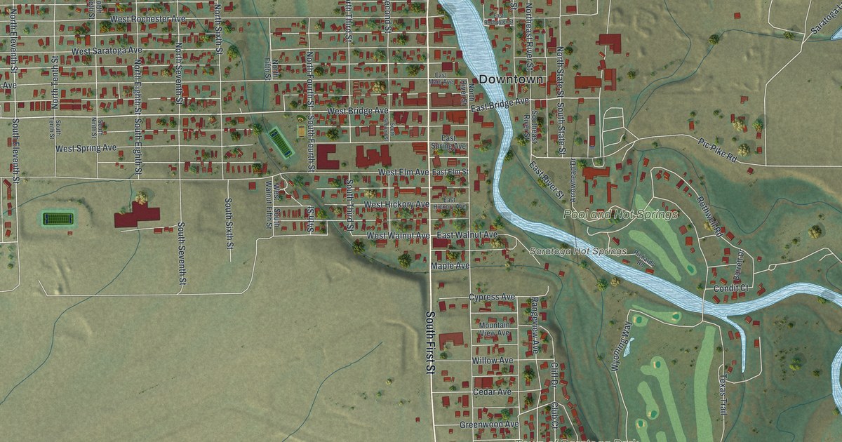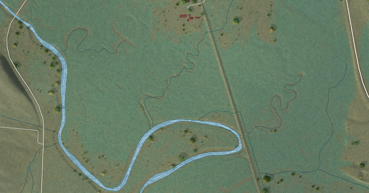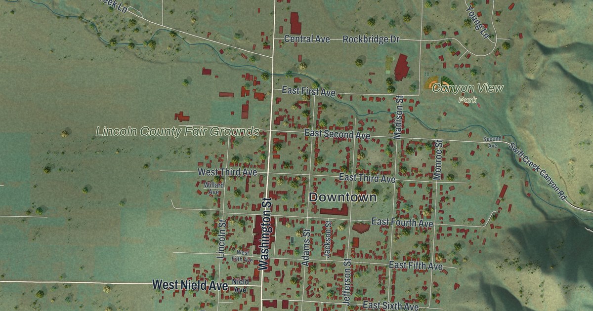
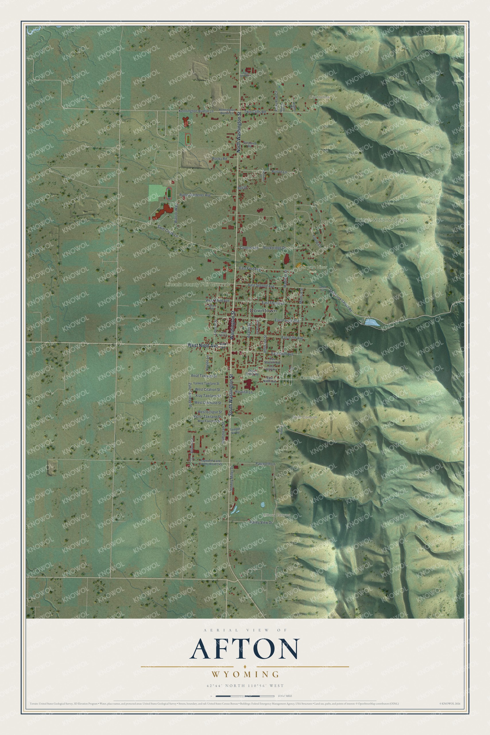
This beautifully detailed map of Afton, Wyoming was created in 2026 using aerial imagery combined with modern topographical, census, street and landmark data. It's a modern aerial view of Afton in Lincoln County, Wyoming, that combines modern data with a vintage aesthetic. The roads feature printed names, and if you look closely you can find your exact house accurately shown in its correct location.
Explore an aerial view of Afton, Wyoming
On this map you'll find Downtown, Elbow Canyon, Hale Canyon, Lily Hollow, Lincoln County Fair Grounds, Bridger National Forest, Cemetery, Canyon View Park, Washington Street, South Washington Street, North Washington Street, West Nield Avenue, and more. Each red shape is a building, so zoom in on the preview and look for yours.
Every town has a first chapter, and Afton is no exception. The Wyoming State Historical Society puts it this way: "On Sept. 27, 2000, at the Summer Olympics in Sydney, Australia, one of the most unlikely plots in sports history turned into compelling television as Afton's Rulon Gardner delivered a miracle on the mat by defeating Aleksandr Karelin in the super-heavyweight (130 kilogram weight class) Greco-Roman wrestling gold medal match for the ages."
Afton is a town in Lincoln County. The Census Bureau counted 2,172 people here in 2020.
Take a closer look at the Afton map
Names on this map
These names are printed on this map.
Places: Downtown, Elbow Canyon, Hale Canyon, Lily Hollow, Lincoln County Fair Grounds, Bridger National Forest, Cemetery and Canyon View Park.
Streets and roads: Washington Street, South Washington Street, North Washington Street, West Nield Avenue, East Sixth Avenue, Kennington-Burton Lane, Valley View Drive, East Second Avenue, Rockbridge Drive, Madison Street, Adams Street, Warrior Way.
More street names, A to Z
Airport Lane, Airport Road, Aspen Court, Aviat Taxiway Street, Burton Lane, Central Avenue, Doyle Chiles Road, East Eighth Avenue, East Fifth Avenue, East First Avenue, East Fourth Avenue, East Ninth Avenue, East Seventh Avenue, East Third Avenue, Ford Street, Gulfstream Street, Haylee Lane, Hospital Lane, Jackson Street, Jefferson Street, Johnny Miller Drive, Kennington Burton Lane, Lincoln Street, Monroe Street, Mountain Dell Circle, Nield Avenue, Papworth Lane, Papworth Lane County Road 145, Rocky Road, Rocky Road Circle, Rulon Gardener Avenue, Second Avenue, Sessions Lane, Sky View Lane, Sundance Road, Swift Creek Canyon Road, Swift Creek Lane, Temple Vw Lp, Twin Cliffs Road, Twin Spruce Lane, Victor Taxilane Street, West Citation Street, West Diamond Street, West Eclipse Street, West Fairchild Street, West Fifth Avenue, West Third Avenue, Willard Avenue, Xray Taxilane Street, Yankee Taxilane Street, Young Lane, Zulu Taxiway Street.
Created by KNOWOL in 2026. The buildings are small red shapes, the roads carry their printed names, and shaded relief shows the shape of the land. The title panel reads "AERIAL VIEW OF AFTON WYOMING" with 42°44' NORTH 110°56' WEST.
Hang it in the hallway, the office or the cabin, or give it to someone who left Afton and still calls it home. Open the preview and look for a street you know. See sizes and frames for the Afton map.