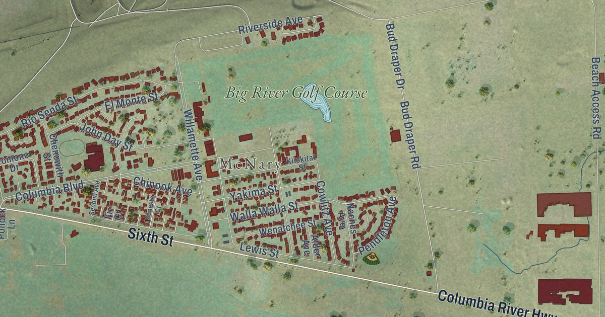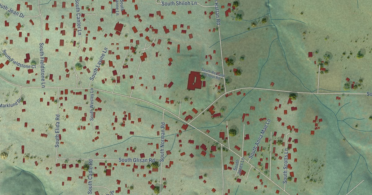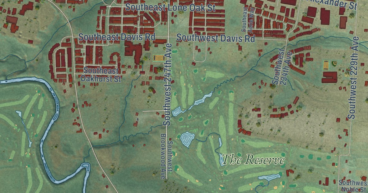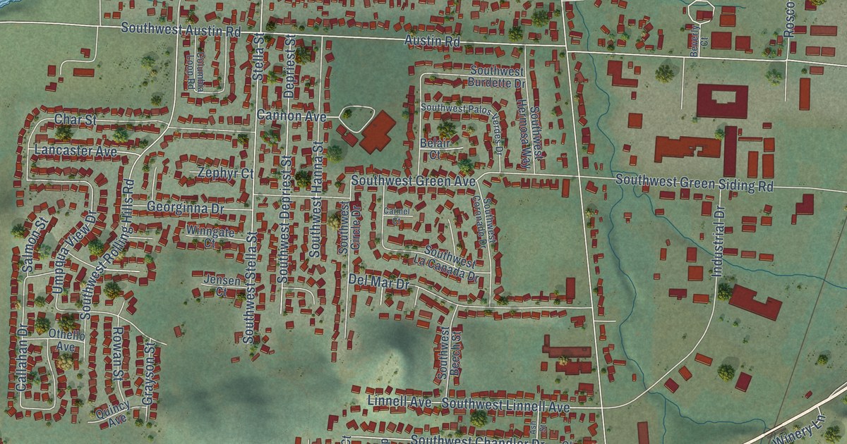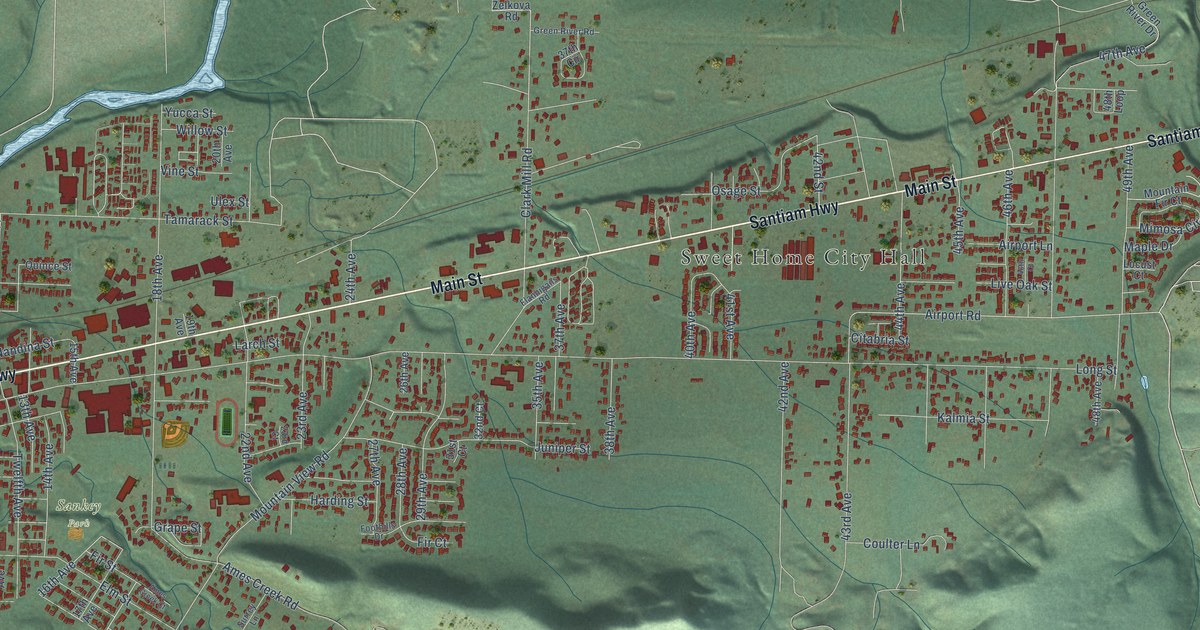
This beautifully detailed map of Sweet Home, Oregon was created in 2026 using aerial imagery combined with modern topographical, census, street and landmark data. It’s a one-of-a-kind view of Sweet Home that combines accurate data with a vintage aesthetic. The map shows every building in its true location, many of the roads carry their names, and the shaded topographic relief shows the shape of the land.
Explore an aerial view of Sweet Home, Oregon
On the map you’ll find Sweet Home City Hall, Foster, Quarry Park, and Sankey Park, along with Holley Road, West Holley Road, Main Street, Santiam Highway, Osage Street, Fourth Avenue, Airport Road, 18th Avenue, and more. If you look closely you can even find your house accurately drawn in its correct location. Zoom in on the preview to look for yours.
Did you know this piece of Sweet Home, Oregon history?
From the City of Sweet Home: "According to historians, Sweet Home was later named after the lovely green Sweet Home Valley. The winding, clear water of the South Santiam River finds its way through the edge of the City where high tree-covered mountains tower over the small community."
Sweet Home is a city in Linn County.
Take a closer look at the Sweet Home map
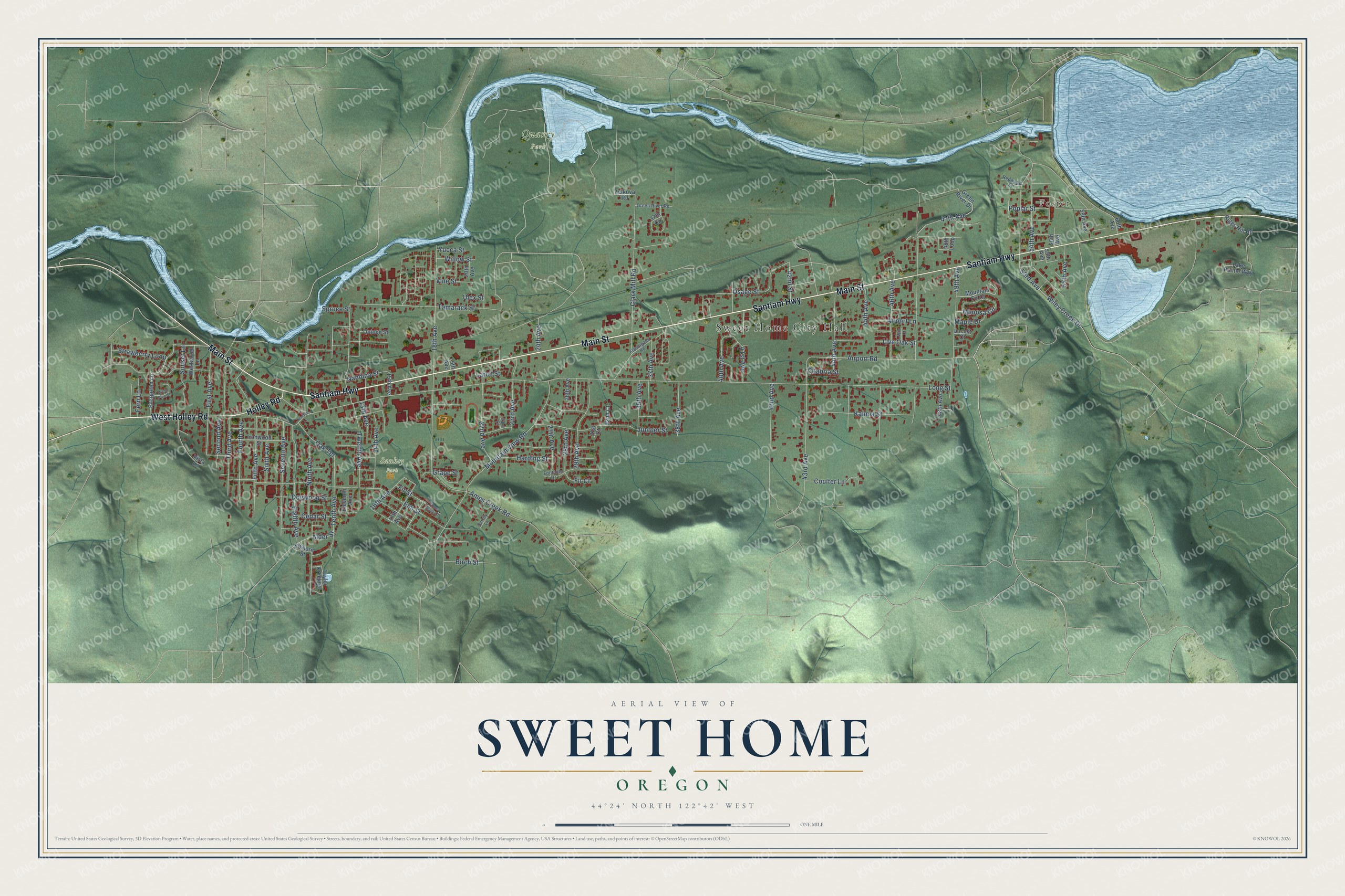
Street and place names on the Sweet Home, Oregon map
These names are printed on the map of Sweet Home, Oregon.
Places: Sweet Home City Hall, Foster, Quarry Park and Sankey Park.
Streets and roads: Holley Road, West Holley Road, Main Street, Santiam Highway, Osage Street, Fourth Avenue, Airport Road, 18th Avenue, First Avenue, Clark Mill Road, Tenth Avenue, Grape Street.
More street names, A to Z
13th Avenue, 14th Avenue, 15th Avenue, 16th Avenue, 17th Avenue, 19th Avenue, 20th Avenue, 22nd Avenue, 23rd Avenue, 23rd Court, 24th Avenue, 26th Avenue, 27th Avenue, 28th Avenue, 29th Avenue, 31st Court, 32nd Court, 35th Avenue, 37th Avenue, 37th Circle, 38th Avenue, 40th Avenue, 41st Avenue, 42nd Avenue, 42nd Street, 43rd Avenue, 44th Avenue, 45th Avenue, 46th Avenue, 46th Court, 47th Avenue, 48th Avenue, 48th Loop, 49th Avenue, 53rd Avenue, 54th Avenue, 55th Avenue, 56th Avenue, 57th Avenue, 59th Avenue, 60th Avenue, Airport Lane, Alder Street, Ames Creek Court, Ames Creek Road, Birch Street, Cedar Street, Citabria Street, Coulter Lane, Dogwood Street, Eighth Avenue, Eleventh Avenue, Elkhorn Street, Elm Street, Evergreen Lane, Fern Lane, Fifth Avenue, Fir Court, Fir Street, Flannigans Road, Foothills Drive, Green River Drive, Green River Road, Harding Street, Ironwood Street, Juniper Street, Kalmia Street, Lake Pointe Way, Larch Street, Live Oak Street, Locust Court, Long Street, Maple Drive, Mimosa Circle, Mountain Fir Court, Mountain View Road, Nandina Street, Ninth Avenue, Oak Terrace, Poplar Street, Quince Street, Redwood Street, Riggs Hill Road, Second Avenue, Seventh Avenue, Sixth Avenue, Spruce Street, Strawberry Loop, Sunset Lane, Surrey Lane, Tamarack Street, Taylor Creek Drive, Terrace Lane, Third Avenue, Twelfth Avenue, Ulex Street, Vine Street, Vista Lane, West Pine Street, Westwood Lane, Wiley Creek Drive, Willow Street, Yucca Street, Zelkova Road.
See the Sweet Home, Oregon map on a wall
The Sweet Home map as an 18 x 24 inch print in a black frame.

This beautifully detailed map of Sweet Home makes an attractive addition to your office, library, or den, and it can even be used to teach children the geography and history of the area. It also makes a great gift for someone who left Sweet Home and still calls it home. When you’re done exploring, click here to get your copy of the Sweet Home map.