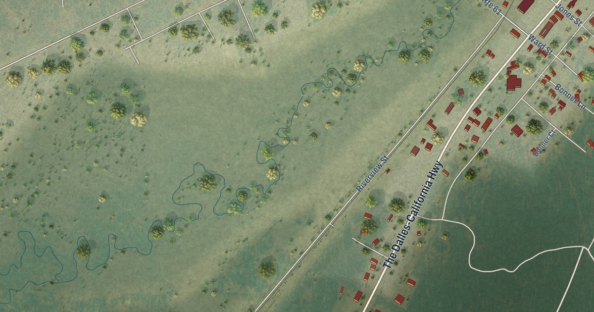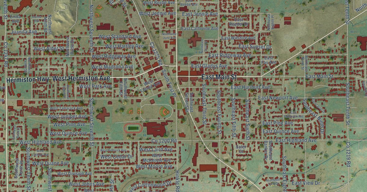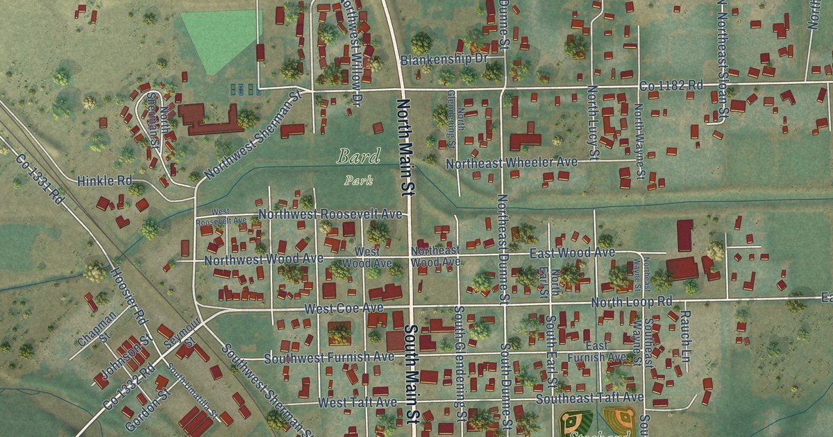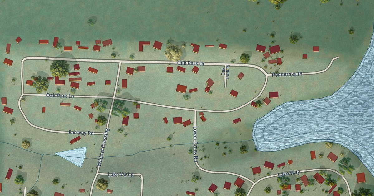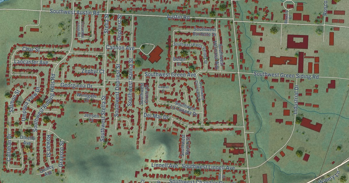
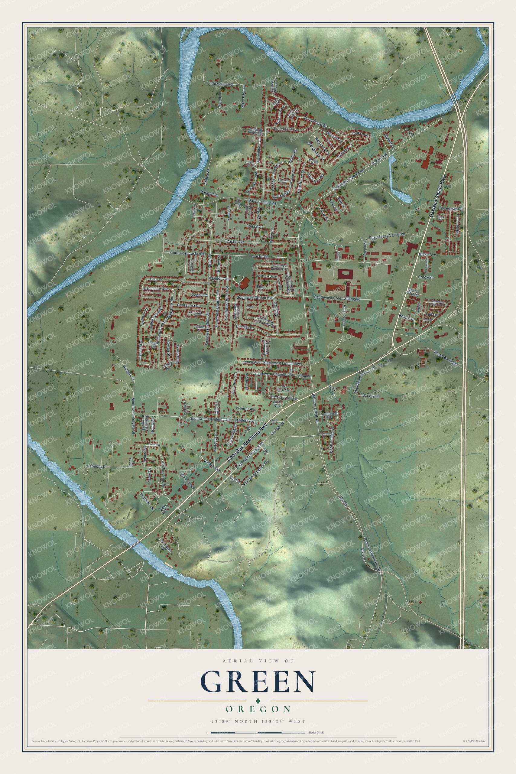
This beautifully detailed map of Green, Oregon was created in 2026 using aerial imagery combined with modern topographical, census, street and landmark data. It's a modern aerial view of Green in Douglas County, Oregon, that combines modern data with a vintage aesthetic. The roads feature printed names, and if you look closely you can find your exact house accurately shown in its correct location.
Explore an aerial view of Green, Oregon
On this map you'll find Coos Bay-Roseburg Highway, Oakland-Shady Highway, Southwest Holgate Street, Southwest Chandler Drive, Stella Street, Southwest Green Siding Road, Southwest Green Avenue, Southwest Lance Street, Carnes Road, Southwest Carnes Road, Roberts Creek Road, Austin Road, and more. Each red shape is a building, so zoom in on the preview and look for yours.
Green is a community in Douglas County. The Census Bureau counted 7,614 people here in 2020. Green sits about 3 miles northeast of Winston, 4 miles northeast of Dillard and 5 miles south of Roseburg. The map prints the town name in its title panel, with the coordinates below it.
Take a closer look at the Green map
Names on this map
These names are printed on this map.
Streets and roads: Coos Bay-Roseburg Highway, Oakland-Shady Highway, Southwest Holgate Street, Southwest Chandler Drive, Stella Street, Southwest Green Siding Road, Southwest Green Avenue, Southwest Lance Street, Carnes Road, Southwest Carnes Road, Roberts Creek Road, Austin Road.
More street names, A to Z
Adams Loop, Aloha Court, Amber Street, Art Mill Lane, Ash Street, Beaver State Road, Belair Court, Belmont Avenue, Beverly Court, Blake Avenue, Bobwhite Street, Bourne Street, Brentridge Drive, Brook Street, Callahan Drive, Cannon Avenue, Capitola Court, Carmel Court, Carrin Layne Court, Carrin Layne Road, Cashew Lane, Castle Avenue, Chandler Drive, Char Street, Columbia Loop Road, Corona Loop Road, County 153, Crawford Lane, Cty 123, Dark Horse Street, Del Mar Drive, Depriest Street, Deschutes Lane, Doris Street, East Happy Valley Road, Edna Avenue, Emils Way, Ervin Avenue, Freeman Avenue, Gale Avenue, Georginna Drive, Grange Road, Grant Smith Road, Grayson Street, Happy Valley Road, Harmony Drive, Heatherwood Lane, Holgate Street, Honey Lane, Industrial Drive, Jackie Avenue, Jamie Loop, Jensen Court, Jessica Lynn Lane, Joe Avenue, Karuk Lane, Kermanshah Street, Kristi Lee Lane, Krohn Lane, Kylee Street, Lad Lane, Lancaster Avenue, Landers Avenue, Linnell Avenue, Littlebrook Lane, Little Valley Road, Manor Loop, Matthew Lee Court, Meadowbrook Street, Melody Lane, Metolius Lane, Monte Drive, Myers Lane, Nehalem Loop, Nestucca Lane, Othello Avenue, Palmdale Avenue, Palm Dale Avenue, Paradise Lane, Pear Tree Lane, Pecan Lane, Pippin Avenue, Poppy Lane, Poteet Avenue, Quincy Avenue, Rainbow Ridge Avenue, Rex Street, River Place Drive, Roberts Mountain Road, Rolling Hills Road, Rosco Street, Rose Garden Lane, Rowan Street, Ryland Drive, Salmon Street, Santiam Lane, Sisters Lane, South Savoy Court, Southwest Austin Road, Southwest Beech Street, Southwest Berry Loop Lane, Southwest Burdette Drive, Southwest Circle Drive, Southwest Coronado Drive, Southwest Corona Loop Road, Southwest Depriest Street, Southwest Fisk Lane, Southwest Golding Street, Southwest Grange Road, Southwest Hanna Street, Southwest Hermosa Way, Southwest Jackie Avenue, Southwest La Canada Drive, Southwest Landers Avenue, Southwest Linnell Avenue, Southwest Melody Lane, Southwest Palos Verdes Drive, Southwest Rolling Hills Road, Southwest Stella Street, Southwest Winery Lane, Speedway Road, Spencer Crk Spur 2, Stevenson Lane, Summerwood Street, Tannhauser Avenue, Tea Rose Circle, Thompson Avenue, Trout Loop, Umpqua View Drive, Wenaha Lane, Winery Lane, Winngate Court, Yoder Lane, Zephyr Court.
See it on a wall
The Green map as a framed print. Swipe for more.


Created by KNOWOL in 2026. The buildings are small red shapes, the roads carry their printed names, and shaded relief shows the shape of the land. The title panel reads "AERIAL VIEW OF GREEN, OREGON" with 43°09' NORTH 123°23' WEST.
It looks right in a kitchen, an office or a den, and it's a gift for anyone who grew up in Green or moved away. Open the preview and find your street. See sizes and frames for the Green map.