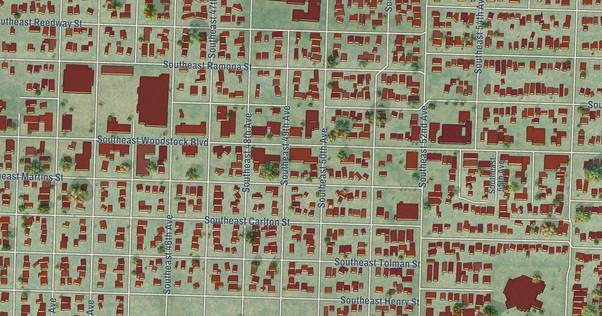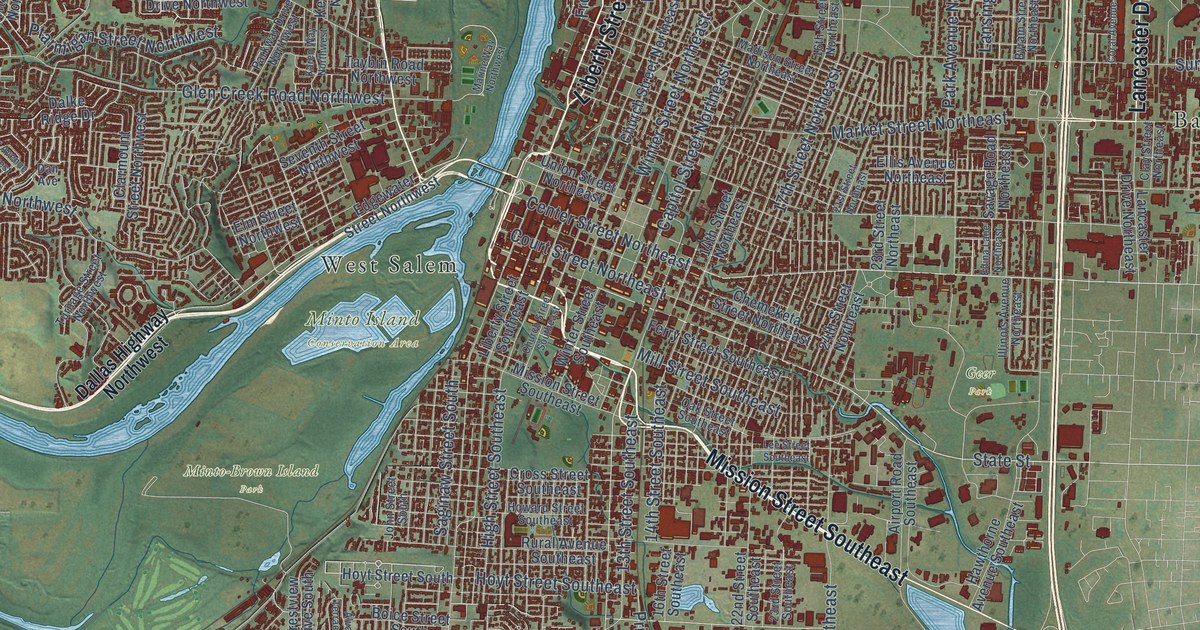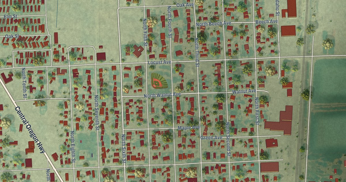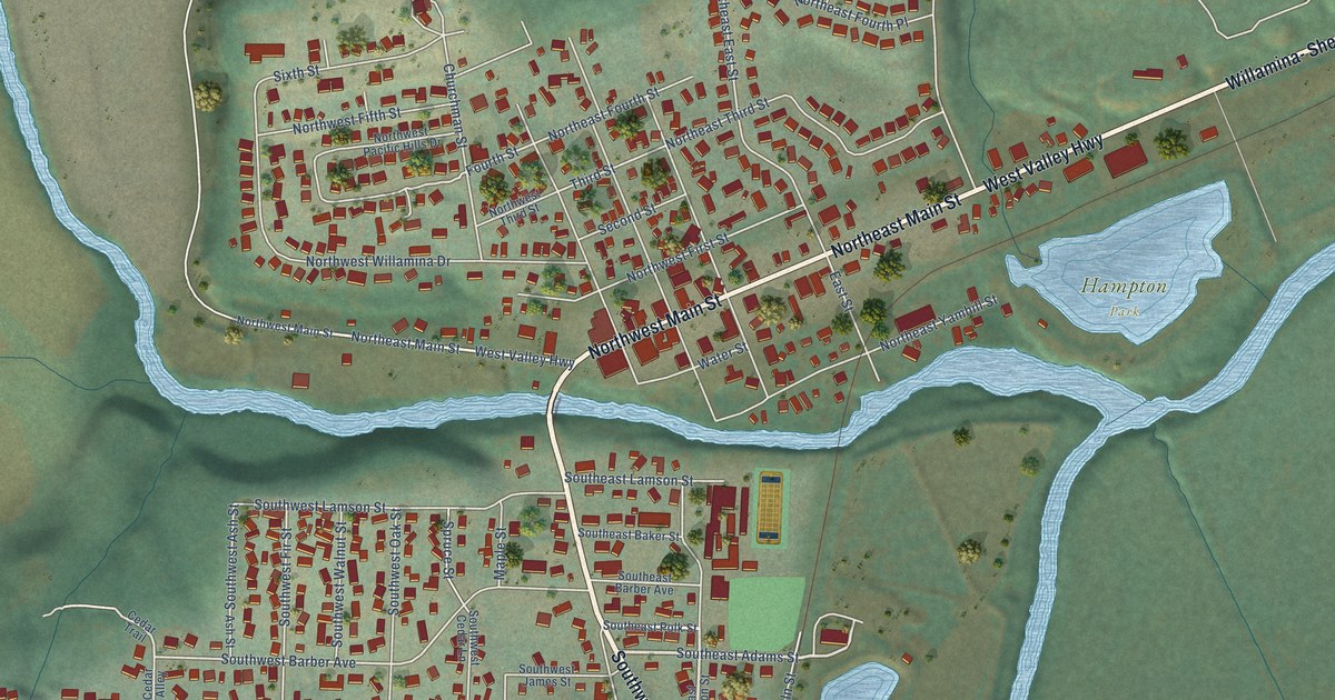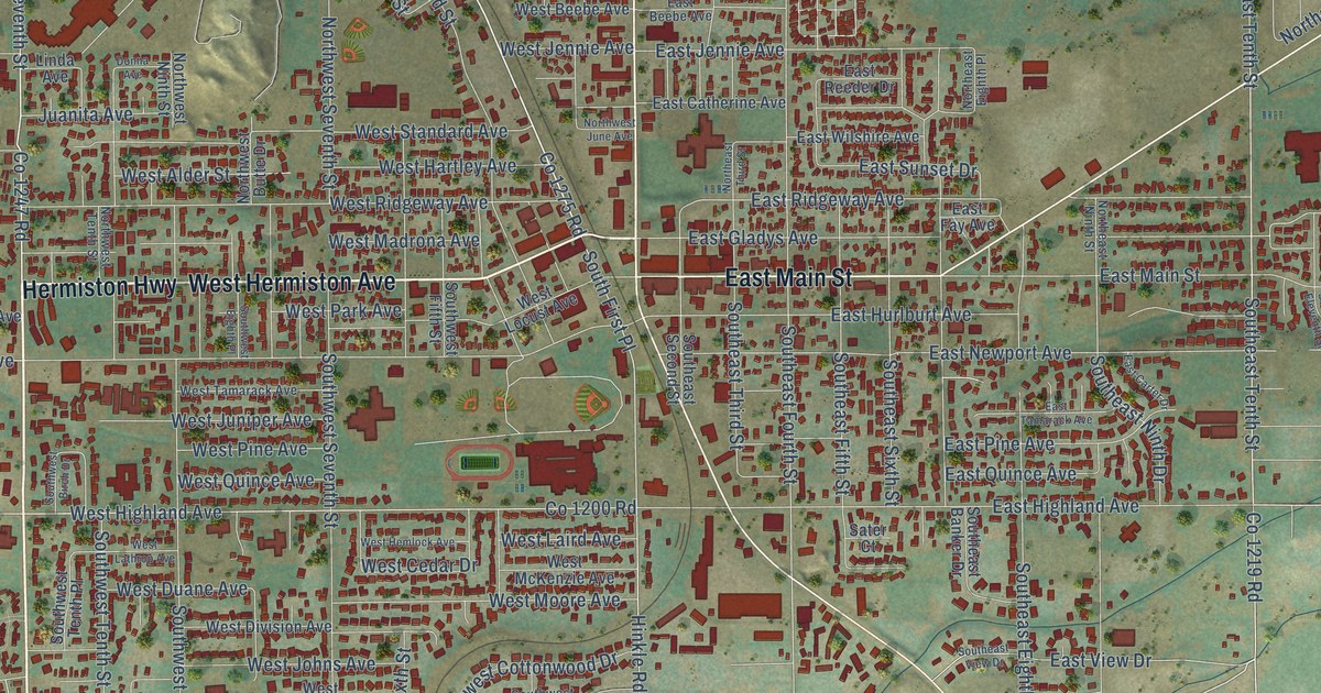
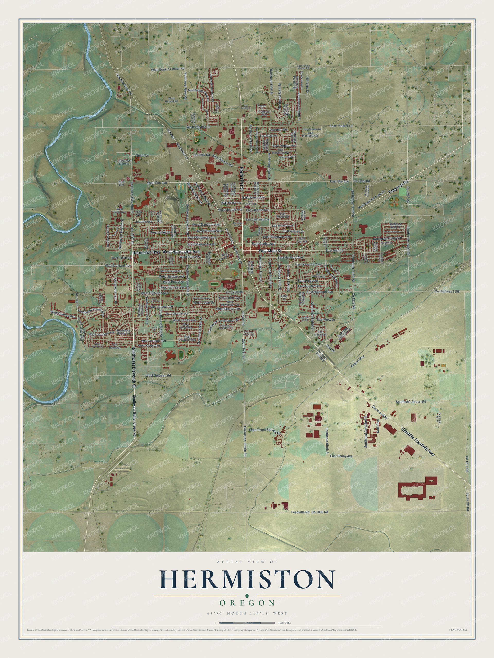
This beautifully detailed map of Hermiston, Oregon was created in 2026 using aerial imagery combined with modern topographical, census, street and landmark data. It’s a one-of-a-kind view of Hermiston that combines accurate data with a vintage aesthetic. The map shows every building in its true location, many of the roads carry their names, and the shaded topographic relief shows the shape of the land.
Explore an aerial view of Hermiston, Oregon
On the map you’ll find North First Place, along with Southwest Eleventh Street, West Hermiston Avenue, North First Street, Hermiston Highway, East Main Street, Umatilla-Stanfield Highway, Diagonal Road, Co 1240 Road, Co 1275 Road, West Elm Avenue, Northwest Eleventh Street, and more. If you look closely you can even find your house accurately drawn in its correct location. Zoom in on the preview to look for yours.
Did you know this piece of Hermiston, Oregon history?
From Oregonencyclopedia.org: "McNaught named the town Hermiston at the suggestion of his wife Jennie, after Robert Louis Stevenson’s 1896 unfinished novel Weir of Hermiston."
Hermiston is a city in Umatilla County.
Take a closer look at the Hermiston map
Street and place names on the Hermiston, Oregon map
These names are printed on the map of Hermiston, Oregon.
Places: Hermiston Cemetery.
Streets and roads: Southwest Eleventh Street, West Hermiston Avenue, North First Street, Hermiston Highway, East Main Street, Umatilla-Stanfield Highway, Diagonal Road, Co 1240 Road, North First Place, Co 1275 Road, West Elm Avenue, Northwest Eleventh Street.
More street names, A to Z
Airport Way, Autumn Avenue, Co 1000 Road, Co 1189 Road, Co 1200 Road, Co 1211 Road, Co 1217 Road, Co 1219 Road, Co 1242 Road, Co 1247 Road, County Highway 1198, Crammer Road, Dawn Drive, Donna Avenue, East Autumn Avenue, East Beebe Avenue, East Beech Avenue, East Browning Avenue, East Carter Drive, East Catherine Avenue, East Elm Avenue, East Evelyn Street, East Fay Avenue, East Gladys Avenue, East Highland Avenue, East Hurlburt Avenue, East Jennie Avenue, East Montana, East Montana Avenue, East Newport Avenue, East Oregon Avenue, East Penny Avenue, East Pine Avenue, East Punkin Center Road, East Quince Avenue, East Reeder Drive, East Ridgeway Avenue, East Sandstone Avenue, East Sunset Drive, East Tamarack Avenue, East Theater Lane, East View Drive, East Wilshire Avenue, Experiment Station Road, Feedville Road, Francolin Avenue, Grouse Court, Hermiston-Hinkle Road, Hill View Drive, Hinkle Road, Juanita Avenue, Kelli Boulevard, Linda Avenue, Madrona Drive, Northeast Alora Drive, Northeast Aspen Drive, Northeast Eighth Place, Northeast Eighth Street, Northeast Eleventh Street, Northeast Emerald Drive, Northeast Fifth Street, Northeast Fourth Street, Northeast Gladys Drive, Northeast McNary Street, Northeast Misty Drive, Northeast Ninth Street, Northeast North Street, Northeast Second Street, Northeast Seventh Street, Northeast Sixth Place, Northeast Sixth Street, Northeast Tenth Street, Northeast Third Place, Northeast Third Street, Northeast Twelfth Street, Northwest 13th Street, Northwest Butte Drive, Northwest Dusk Drive, Northwest Eucalyptus Drive, Northwest Geer Road, Northwest June Avenue, Northwest Ninth Street, Northwest Overlook Drive, Northwest Second Street, Northwest Seventh Street, Northwest Sixth Street, Northwest Sjoren Lane, Northwest Spruce Street, Northwest Tenth Street, Northwest Third Street, Northwest Twelfth Street, Old Highway, Park Roadway, Port Drive, Sater Court, Shannon Way, Smith Lane, Southeast 13th Street, Southeast 19th Street, Southeast Airport Road, Southeast Banker Drive, Southeast Campbell Drive, Southeast Columbia Drive, Southeast Crestline Drive, Southeast Eighth Street, Southeast Eleventh Street, Southeast Fifth Street, Southeast Fourth Street, Southeast Ninth Drive, Southeast Ninth Street, Southeast Second Street, Southeast Sixth Street, Southeast Tenth Street, Southeast Third Street, Southeast View Drive, South First Place, South First Street, South Ott Road, South Street, South Townsend Road, Southwest 13th Place, Southwest 14th Place, South West 17th Avenue, Southwest Birch Drive, Southwest Butter Creek Road, Southwest Cottonwood Drive, Southwest Desert Sky Drive, Southwest Eighth Place, Southwest Fifth Street, Southwest Ninth Street, Southwest Riverhill Drive, Southwest Sandy Drive, Southwest Seventh Street, Southwest Sixth Street, Southwest Tenth Place, Southwest Tenth Street, Sunny View Lane, Umatilla River Road, Van Arsdale Lane, West Alder Street, West Alleluia Avenue, West Beebe Avenue, West Brock Avenue, West Cedar Drive, West Cody Avenue, West Division Avenue, West Duane Avenue, West Elm, West Gettman Road, West Harper Road, West Hartley Avenue, West Hemlock Avenue, West Hensel Road, West Highland Avenue, West Jennie Avenue, West Johns Avenue, West Joseph Avenue, West Juniper Avenue, West Laird Avenue, West Lathrop Avenue, West Linda Avenue, West Locust Avenue, West Madrona Avenue, West McKenzie Avenue, West Moore Avenue, West Orchard Avenue, West Park Avenue, West Pheasant Avenue, West Pine Avenue, West Poplar Avenue, West Punkin Center Road, West Quince Avenue, West Ridgeway Avenue, West Standard Avenue, West Stockton Street, West Sunland Avenue, West Tamarack Avenue, West Theatre Lane, Westview Drive, West Wren Avenue.
See the Hermiston, Oregon map on a wall
The Hermiston map as an 18 x 24 inch print in a black frame.

This beautifully detailed map of Hermiston makes an attractive addition to your office, library, or den, and it can even be used to teach children the geography and history of the area. It also makes a great gift for anyone who grew up in Hermiston or moved away. When you’re done exploring, click here to get your copy of the Hermiston map.