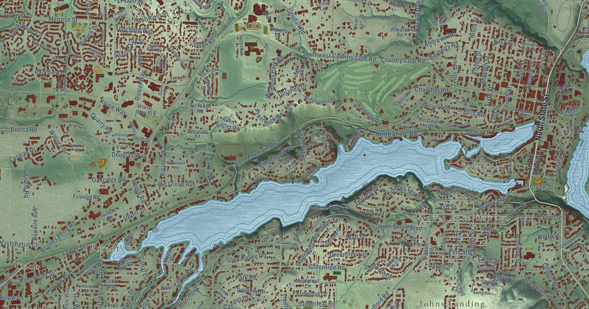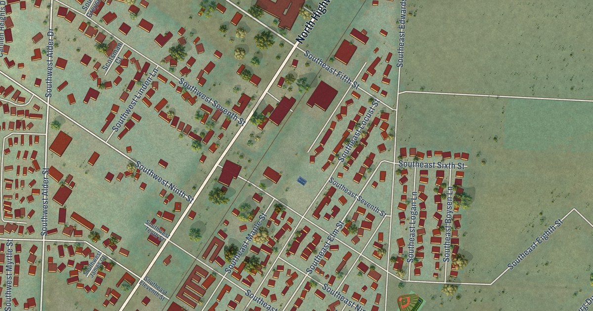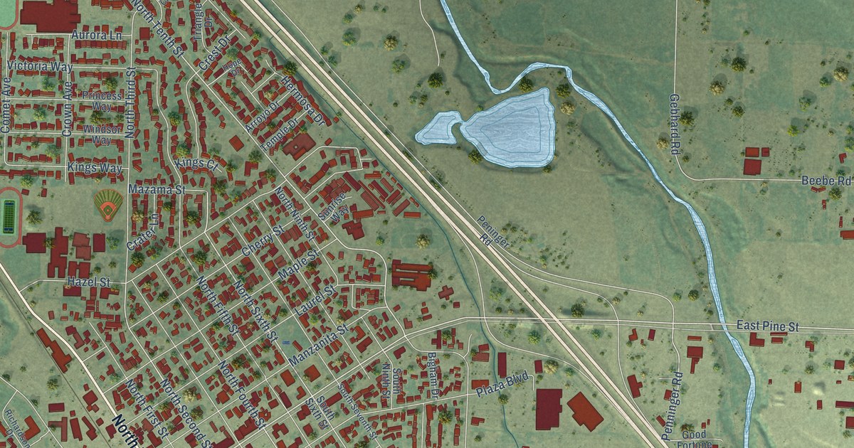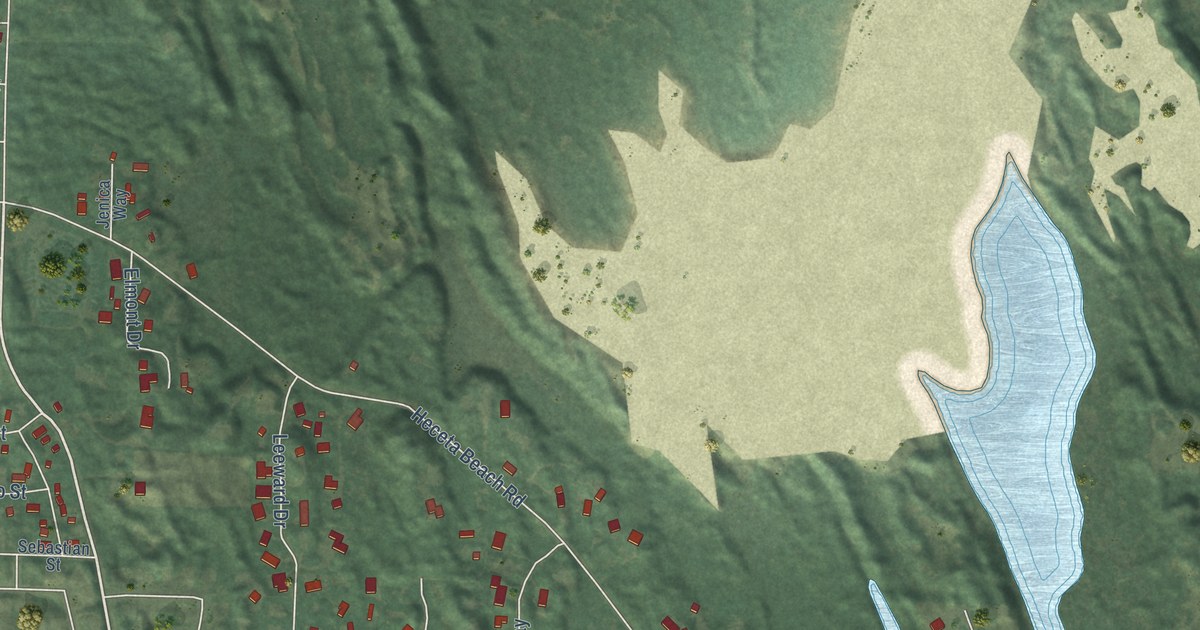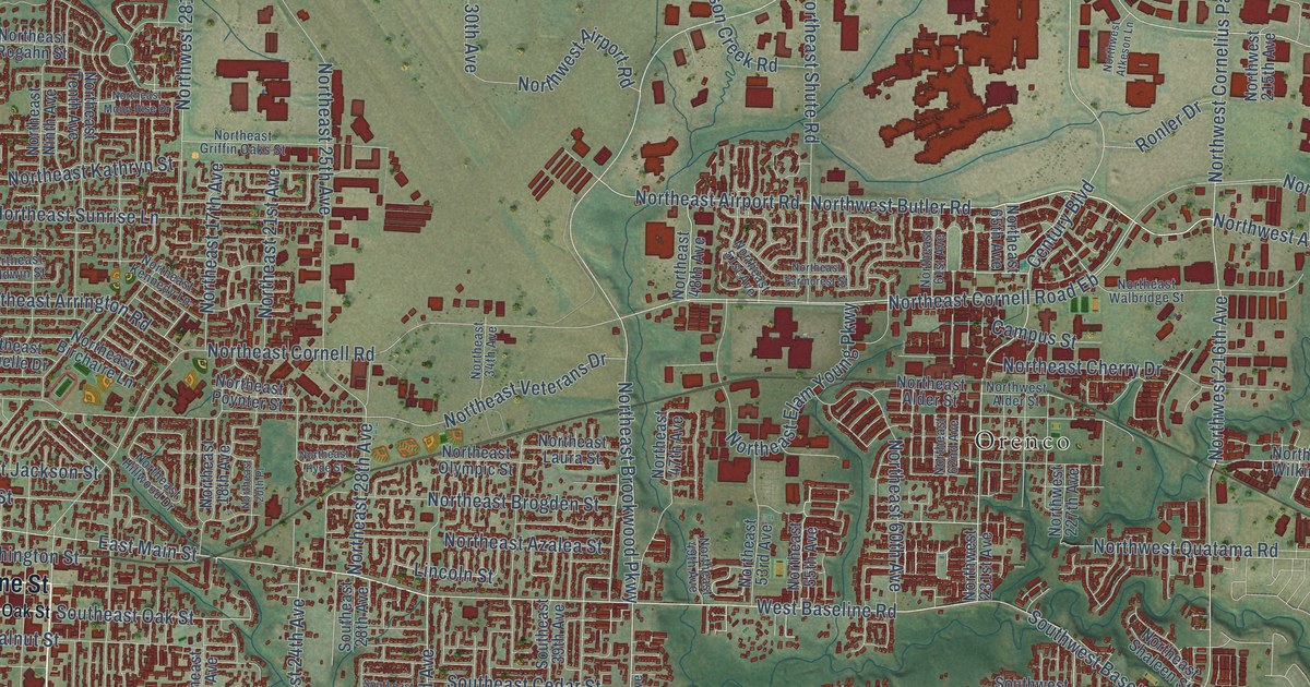
This beautifully detailed map of Hillsboro, Oregon was created in 2026 using aerial imagery combined with modern topographical, census, street and landmark data. It’s a one-of-a-kind view of Hillsboro that combines accurate data with a vintage aesthetic. The map shows every building in its true location, many of the roads carry their names, and the shaded topographic relief shows the shape of the land.
Explore an aerial view of Hillsboro, Oregon
On the map you’ll find Downtown Hillsboro, Tanasbourne, West Union, Orenco, Reedville, and Witch Hazel, along with Southwest Tualatin Valley Highway, Southwest Baseline Street, Southeast Baseline Street, South First Avenue, Northwest Sunset Highway, Southeast Tualatin Valley Highway, and more. If you look closely you can even find your house accurately drawn in its correct location. Zoom in on the preview to look for yours.
Did you know this piece of Hillsboro, Oregon history?
From Oregonencyclopedia.org: "The abbreviated name Hillsboro’ became Hillsboro when the post office was reestablished in 1892."
Hillsboro is a city in Washington County.
Take a closer look at the Hillsboro map
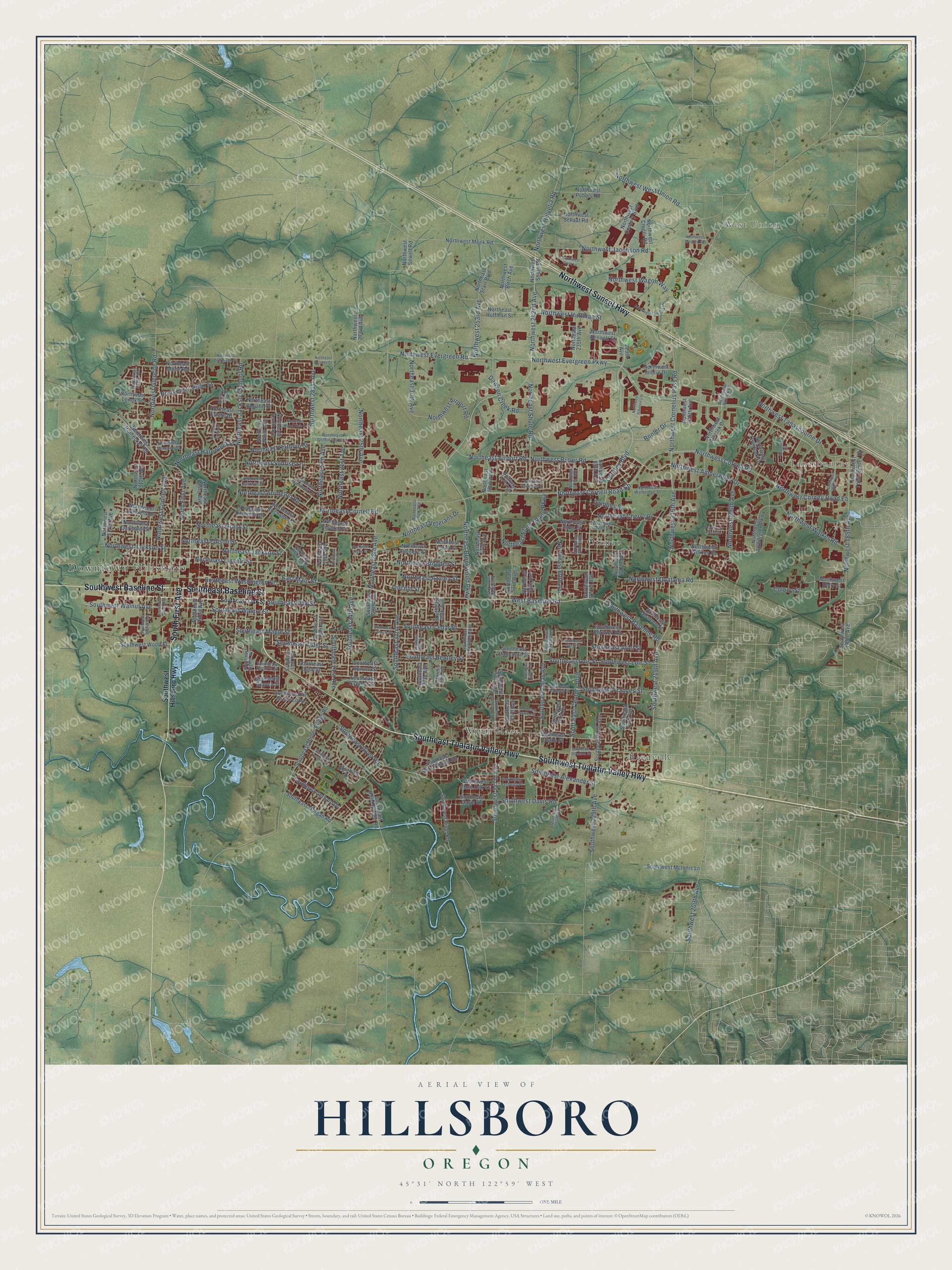
Street and place names on the Hillsboro, Oregon map
These names are printed on the map of Hillsboro, Oregon.
Places: Downtown Hillsboro, Tanasbourne, West Union, Orenco, Reedville and Witch Hazel.
Streets and roads: Southwest Tualatin Valley Highway, Southwest Baseline Street, Southeast Baseline Street, South First Avenue, Northwest Sunset Highway, Southeast Tualatin Valley Highway, Northwest Evergreen Parkway, Northeast Cornell Road, East Main Street, Northeast Brookwood Parkway, West Baseline Road, Northwest Butler Road.
More street names, A to Z
229th Avenue, Bluebird Drive, Campus Street, Century Boulevard, Colony Street, Dawson Creek Road, Lincoln Street, Northeast 17th Avenue, Northeast 18th Avenue, Northeast 20th Place, Northeast 21st Avenue, Northeast 25th Avenue, Northeast 28th Avenue, Northeast 30th Avenue, Northeast 34th Avenue, Northeast 47th Avenue, Northeast 48th Avenue, Northeast 49th Avenue, Northeast 51st Avenue, Northeast 53rd Avenue, Northeast 55th Avenue, Northeast 60th Avenue, Northeast 61st Avenue, Northeast 62nd Avenue, Northeast 65th Avenue, Northeast 235th Avenue, Northeast Airport Road, Northeast Alder Street, Northeast Arrington Road, Northeast Azalea Street, Northeast Baldwin Street, Northeast Beacon Court, Northeast Birchaire Lane, Northeast Brogden Street, Northeast Cherry Drive, Northeast Cornell Road Eb, Northeast Darnielle Drive, Northeast Edison Street, Northeast Elam Young Parkway, Northeast Estate Drive, Northeast Evergreen Street, Northeast Farmcrest Street, Northeast Grant Street, Northeast Griffin Oaks Street, Northeast Harewood Street, Northeast Hillwood Drive, Northeast Huffman Street, Northeast Hyde Street, Northeast Jackson School Road, Northeast Jackson Street, Northeast Jamie Drive, Northeast Kathryn Street, Northeast Kennedy Lane, Northeast Laura Street, Northeast Lenox Street, Northeast Lincoln Street, Northeast Lorie Drive, Northeast Milne Road, Northeast Moon Rise Drive, Northeast Ninth Avenue, Northeast Olympic Street, Northeast Poynter Street, Northeast Rogahn Street, Northeast Shaleen Street, Northeast Shannon Street, Northeast Shute Road, Northeast Starr Boulevard, Northeast Sunrise Lane, Northeast Tenth Avenue, Northeast Third Avenue, Northeast Veterans Drive, Northeast Walbridge Street, North First Avenue, Northwest 185th Avenue, Northwest 188th Avenue, Northwest 206th Avenue, Northwest 215th Avenue, Northwest 216th Avenue, Northwest 227th Avenue, Northwest 231st Avenue, Northwest 242nd Avenue, Northwest 253rd Avenue, Northwest 273rd Avenue, Northwest 281st Avenue, Northwest 312th Avenue, Northwest 313th Avenue, Northwest 317th Avenue, Northwest Airport Road, Northwest Alder Street, Northwest Aloclek Drive, Northwest Aloclek Place, Northwest Amberglen Parkway, Northwest Amberwood Drive, Northwest Atkeson Lane, Northwest Bennett Street, Northwest Birch Avenue, Northwest Century Boulevard, Northwest Clara Lane, Northwest Connell Avenue, Northwest Cornelius Pass Road, Northwest Cornell Road, Northwest Cornell Road Eb, Northwest Croeni Road, Northwest Darnielle Drive, Northwest Evergreen Road, Northwest Five Oaks Drive, Northwest Garibaldi Street, Northwest Glencoe Road, Northwest Helvetia Road, Northwest Hodes Drive, Northwest Holly Street, Northwest Hornecker Road, Northwest Huffman Street, Northwest Imbrie Drive, Northwest Jackson Street, Northwest Jacobson Road, Northwest Lenox Street, Northwest Mauzey Road, Northwest Meek Road, Northwest Overlook Drive, Northwest Pubols Road, Northwest Quatama Road, Northwest Schaaf Road, Northwest Sewell Road, Northwest Shute Road, Northwest Tanasbourne Drive, Northwest Town Center Drive, Northwest Wagon Way, Northwest Walker Road, Northwest West Union Road, Northwest Wilkins Street, Ronler Drive, Southeast 13th Avenue, Southeast 18th Avenue, Southeast 21st Avenue, Southeast 24th Avenue, Southeast 28th Avenue, Southeast 32nd Avenue, Southeast 36th Avenue, Southeast 37th Avenue, Southeast 39th Avenue, Southeast 40th Avenue, Southeast 51st Avenue, Southeast 53rd Avenue, Southeast 56th Avenue, Southeast 61st Drive, Southeast 67th Avenue, Southeast 73rd Avenue, Southeast Alder Street, Southeast Alexander Street, Southeast Ariel Street, Southeast Bacarra Street, Southeast Bentley Street, Southeast Bianca Street, Southeast Brookwood Avenue, Southeast Bush Street, Southeast Cedar Street, Southeast Century Boulevard, Southeast Cornutt Street, Southeast Cypress Street, Southeast Davis Road, Southeast Drake Street, Southeast Eighth Avenue, Southeast Fir Grove Loop, Southeast Frances Street, Southeast Gerhard Drive, Southeast Imlay Avenue, Southeast Johnson Street, Southeast Lois Street, Southeast Maple Street, Southeast Minter Bridge Road, Southeast Morgan Road, Southeast Oak Street, Southeast Patterson Street, Southeast Rancho Street, Southeast River Road, Southeast Rood Bridge Road, Southeast Sigrid Street, Southeast Spruce Street, Southeast Tanager Circle, Southeast Third Avenue, Southeast Verbena Place, Southeast Walnut Street, Southeast Washington Street, Southeast Witch Hazel Road, Southwest 185th Avenue, Southwest 209th Avenue, Southwest 219th Avenue, Southwest 229th Avenue, Southwest 234th Avenue, Southwest 238th Avenue, Southwest 247th Avenue, Southwest Bailey Avenue, Southwest Baseline Road, Southwest Borwick Road, Southwest Brookwood Avenue, Southwest Davis Road, Southwest Dennis Avenue, Southwest Frances Street, Southwest Hillsboro Highway, Southwest Lois Street, Southwest Lone Oak Street, Southwest McInnis Lane, Southwest River Road, Southwest Walnut Avenue, Southwest Wood Street, Venetian Drive.
See the Hillsboro, Oregon map on a wall
The Hillsboro map as an 18 x 24 inch print in a black frame.

This beautifully detailed map of Hillsboro makes an attractive addition to your office, library, or den, and it can even be used to teach children the geography and history of the area. It also makes a great gift for anyone with Hillsboro roots. When you’re done exploring, click here to get your copy of the Hillsboro map.