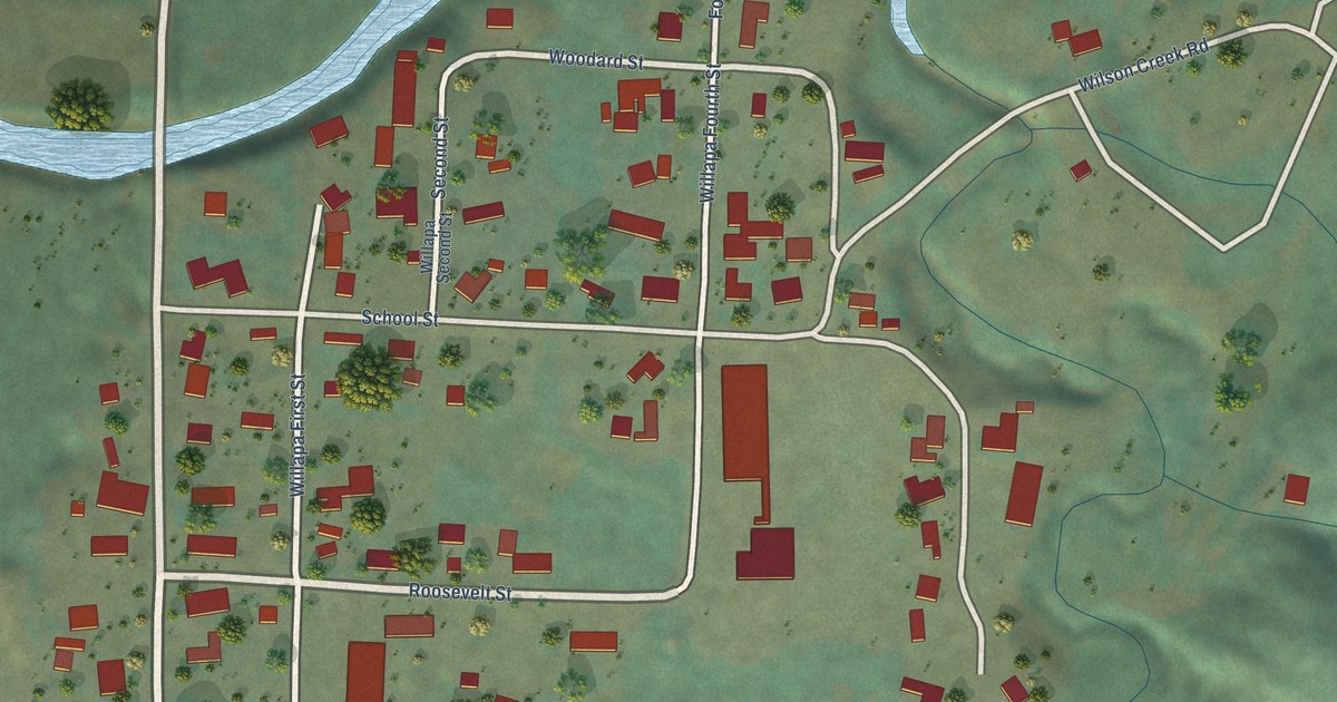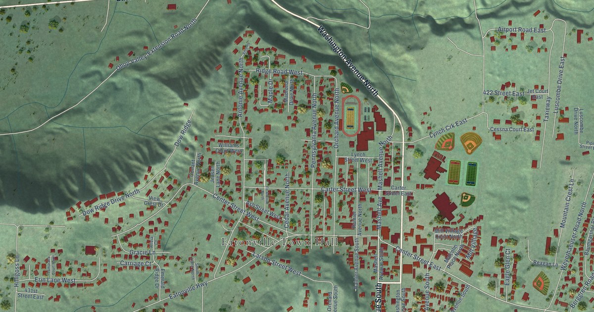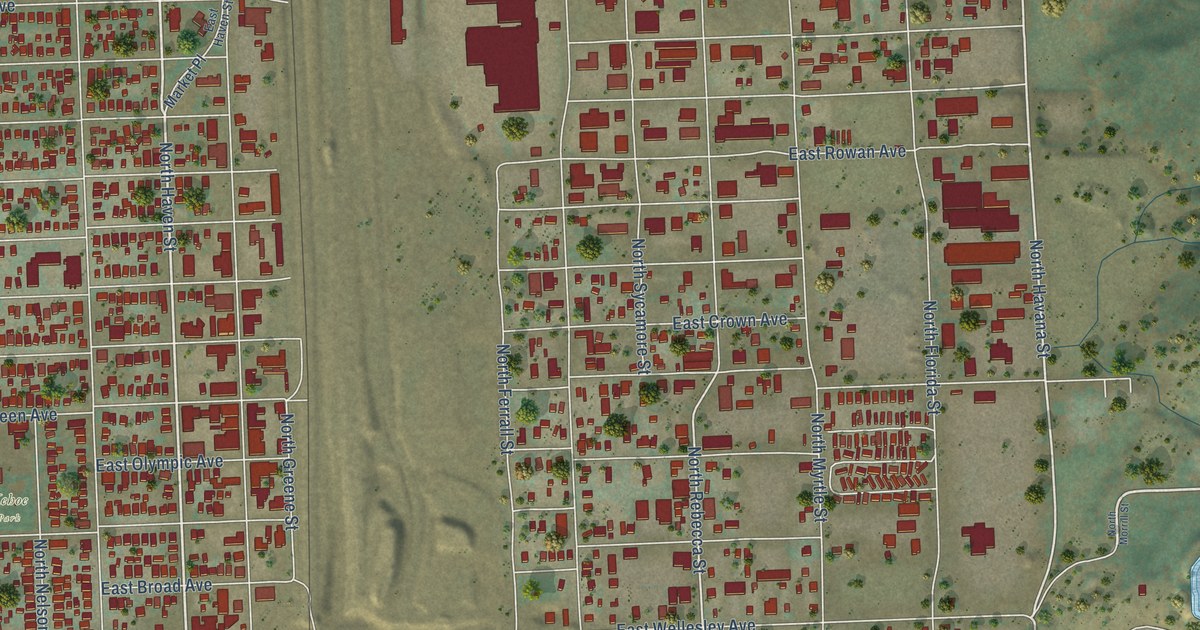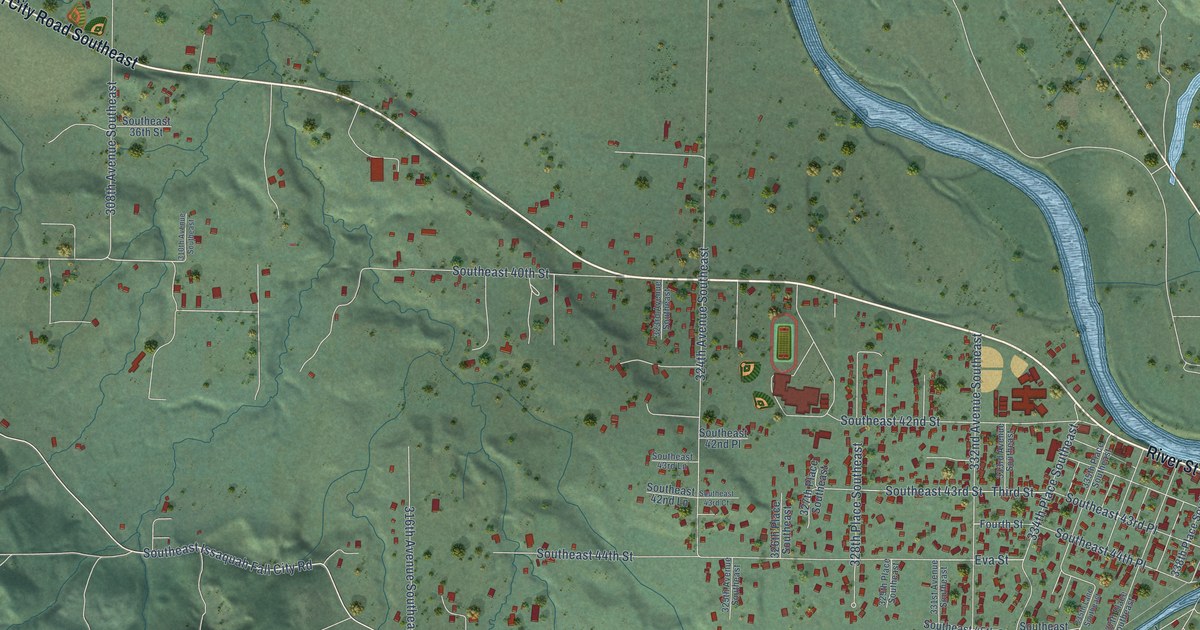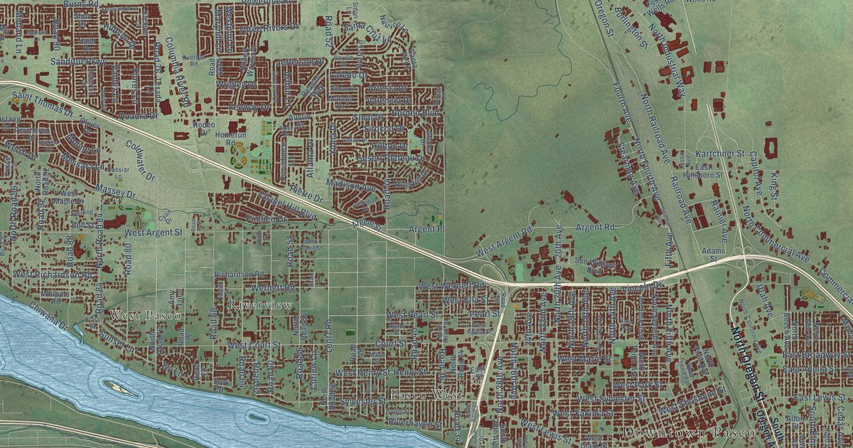
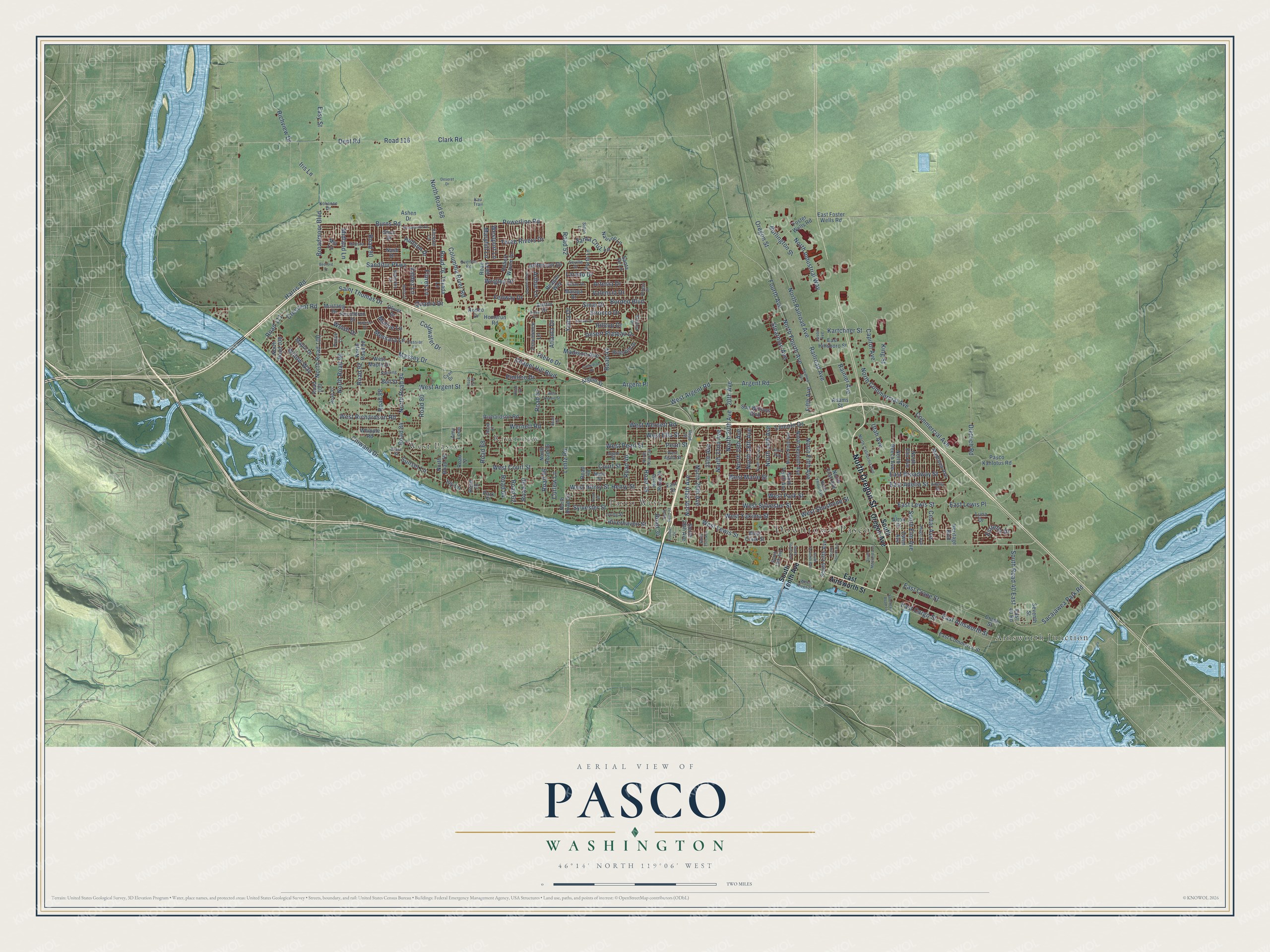
This beautifully detailed map of Pasco, Washington was created in 2026 using aerial imagery combined with modern topographical, census, street and landmark data. It’s a one-of-a-kind view of Pasco that combines accurate data with a vintage aesthetic. The map shows every building in its true location, many of the roads carry their names, and the shaded topographic relief shows the shape of the land.
Explore an aerial view of Pasco, Washington
On the map you’ll find Downtown Pasco, Ainsworth Junction, Pasco West, Riverview, West Pasco, and Road 76, along with North Oregon Street, North 28th Avenue, Burns Road, Maryhill Lane, Harris Road, Henry Street, and more. If you look closely you can even find your house accurately drawn in its correct location. Zoom in on the preview to look for yours.
Did you know this piece of Pasco, Washington history?
From Origin of Washington Geographic Names: "Pasco, a town near the junction of the Snake and Columbia Rivers, and the county seat of Franklin County. The name was bestowed by Virgil Gay Bogue, Location Engineer of the Northern Pacific Railroad."
Take a closer look at the Pasco map
Street and place names on the Pasco, Washington map
These names are printed on the map of Pasco, Washington.
Places: Downtown Pasco, Ainsworth Junction, Pasco West, Riverview and West Pasco.
Streets and roads: North Oregon Street, North 28th Avenue, Burns Road, Road 76, Maryhill Lane, Harris Road, Henry Street, Massey Drive, West Court Street, West Argent Street, Sylvester Street, West Sylvester Street.
More street names, A to Z
20th Avenue, 24th Avenue, Adams Street, Adelia Street, Agate Street, Alton Street, Amy Loop, Antigua Drive, Argent Place, Argent Road, Argent Street, Artesia Drive, Arthur Lane, Ashen Drive, Astor Way, Atlanta Drive, Austin Drive, Bakerloo Lane, Bedford Street, Bell Street, Bilbao Drive, Boise Drive, Broadmoor Boulevard, Burden Boulevard, Burlington Street, Capitol Avenue, Cassiar Lane, Cathedral Drive, Cedar Avenue, Chapel Hill Boulevard, Chiwana Drive, Clara Street, Clark Road, Cleveland Road, Coldwater Drive, Columbia River Road, Commercial Avenue, Court Street, Crane Street, Crescent Road, Curlew Lane, Cyan Drive, Dent Road, Deseret Drive, Desert Plateau Drive, Dietrich Road, East 40 Road, East Adelia Street, East Ainsworth Street, East Broadway Street, East Cargo Street, East Commerce Street, East Crane Street, East Foster Wells Road, East Hillsboro Street, East Lewis Place, East Lewis Street, East Street, Easy Street, Estrella Drive, Fenway Drive, Fifth Avenue, Flores Lane, Foster Wells Road, Fourth Avenue, Frontier Drive, Heritage Boulevard, Hilltop Drive, Homerun Road, Hudson Drive, Hugo Avenue, Iris Lane, Irving Street, Ivy Lane, Jason Avenue, Jefferson Drive, Kartchner Street, Kau Trail, King Street, Klickitat Lane, Kokanee Drive, Laredo Drive, Lentz Road, Lincoln Drive, Luna Drive, Madison Avenue, Madrona Avenue, Majestia Lane, Malaga Drive, Maltese Drive, Maple Drive, Marie Street, Matia Lane, Messara Lane, Mia Lane, Midland Lane, Moline Lane, Mustang Drive, Nash Drive, Nauvoo Lane, North 14th Avenue, North 16th Avenue, North 18th Avenue, North 19th Avenue, North 20th Avenue, North 22nd Avenue, North 26th Avenue, North Beech Avenue, North California Avenue, North Commercial Avenue, North Elm Avenue, North Fifth Avenue, North First Avenue, North Fourth Avenue, North Industrial Way, North Ninth Avenue, North Railroad Avenue, North Road 32, North Road 34, North Road 36, North Road 52, North Road 56, North Road 68, North Road 76, North Road 84, North Road 92, North Road 96, North Road 100, North Road 108, North Seventh Avenue, North Tenth Avenue, North Third Avenue, Oliver Drive, Oregon Street, Overton Road, Owen Avenue, Park Street, Pasco Kahlotus Road, Pearl Street, Percheron Drive, Pierre Drive, Pimlico Drive, Porto Lane, Powerline Road, Prairie Lane, Providence Lane, Quadra Drive, Railroad Avenue, Rainier Avenue, Reagan Way, Richardson Road, Richview Drive, Riverhaven Street, Riverhill Drive, Road 28, Road 34, Road 36, Road 40, Road 44, Road 46, Road 48, Road 52, Road 54, Road 56, Road 57, Road 60, Road 61, Road 62, Road 64, Road 67, Road 68, Road 68 Place, Road 70, Road 70 Place, Road 72, Road 80, Road 84, Road 88, Road 90, Road 92, Road 97, Road 100, Road 111, Road 116, Robert Wayne Drive, Rodeo Drive, Sacajawea Park Road, Sahara Drive, Saint Thomas Drive, Sandifur Parkway, Santa Cruz Lane, Santa Fe Lane, Sedona Drive, Seventh Street, Seville Drive, Sidon Lane, Sinai Drive, Sirocco Drive, Snoqualmie Drive, South 13th Avenue, South 25th Avenue, South 28th Avenue, Southeast Road 15, South Elm Avenue, South Fifth Avenue, South Fourth Avenue, South Maitland Avenue, South Oregon Avenue, South Road 40 East, South Seventh Avenue, South Tenth Avenue, Stearman Avenue, Sterling, Stutz Drive, Sunset Lane, Sun Willows Boulevard, Swallow Avenue, Texada Lane, Three Rivers Drive, Utah Avenue, Valdez Lane, Valencia Drive, Welsh Drive, Wernett Road, West Agate Street, West Argent Road, West Clark Street, West Dradie Street, West Ella Street, West Henry Street, West Lewis Street, West Maple Drive, West Marie Street, West Park Street, West Pearl Street, Westport Lane, West Richardson Road, West River Street, West Shoshone Street, West Wernett Road, West Yakima Street, Whipple Road, Willow Way, Wrigley Drive, Yuma Drive.
See the Pasco, Washington map on a wall
The Pasco map as an 18 x 24 inch print in a black frame.

This beautifully detailed map of Pasco makes an attractive addition to your office, library, or den, and it can even be used to teach children the geography and history of the area. It also makes a great gift for someone who left Pasco and still calls it home. When you’re done exploring, click here to get your copy of the Pasco map.