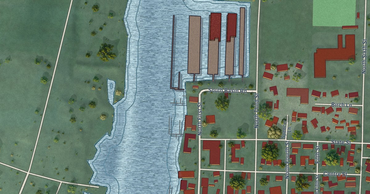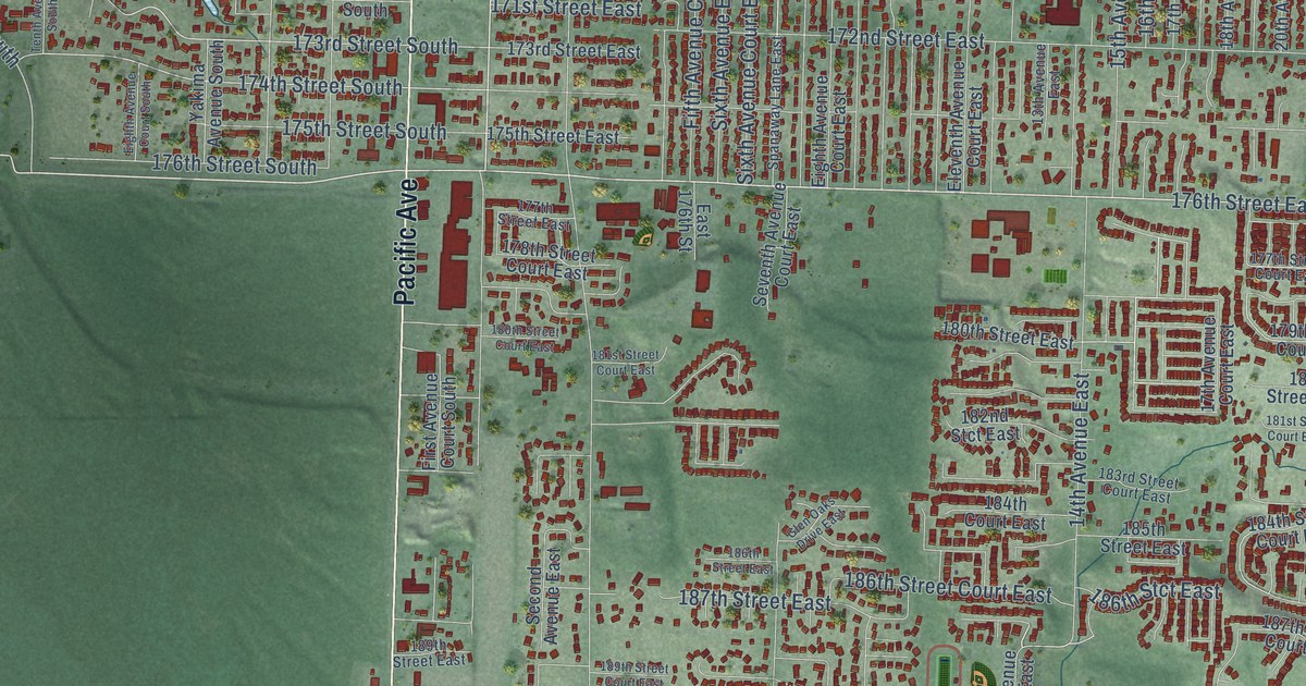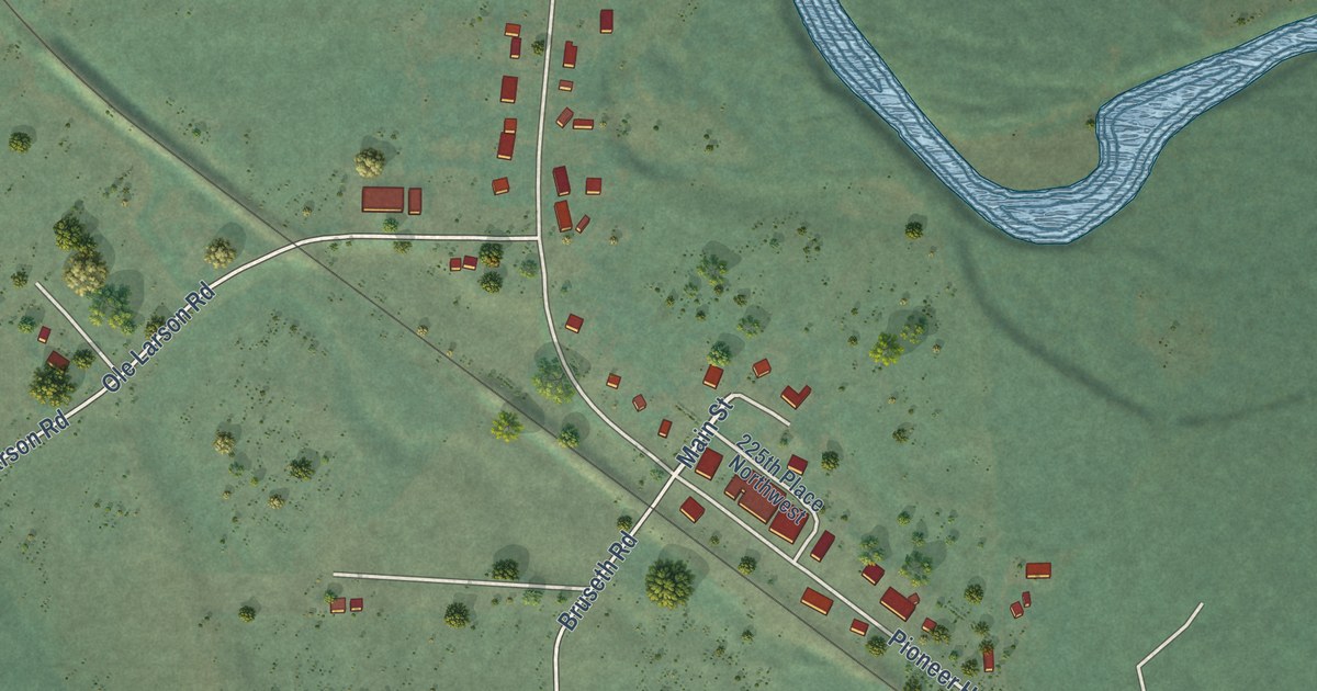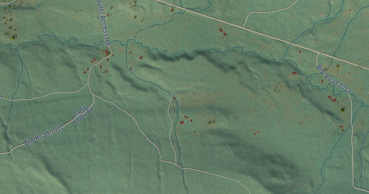
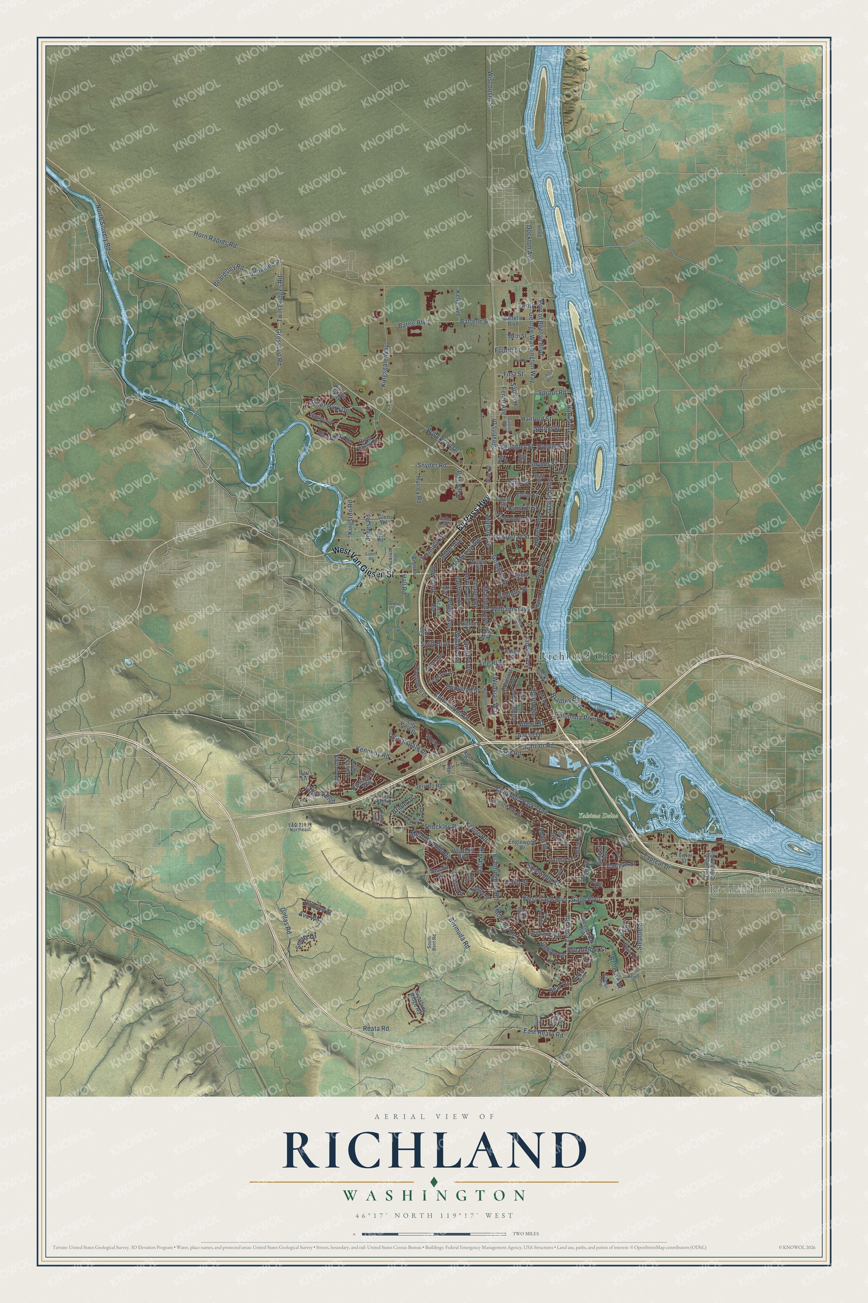
This beautifully detailed map of Richland, Washington was created in 2026 using aerial imagery combined with modern topographical, census, street and landmark data. It’s a one-of-a-kind view of Richland that combines accurate data with a vintage aesthetic. The map shows every building in its true location, many of the roads carry their names, and the shaded topographic relief shows the shape of the land.
Explore an aerial view of Richland, Washington
On the map you’ll find Richland City Hall, Richland Junction, Yakima Delta, and Unnamed Pr, along with By Pass Highway, West Van Giesen Street, West Gage Boulevard, Twin Bridges Road, Steptoe Street, Gage Boulevard, George Washington Way, Swift Boulevard, and more. If you look closely you can even find your house accurately drawn in its correct location. Zoom in on the preview to look for yours.
Did you know this piece of Richland, Washington history?
From HistoryLink.org: "In 1958, the federal government relinquished ownership of Richland and it was incorporated as a first-class city."
Take a closer look at the Richland map
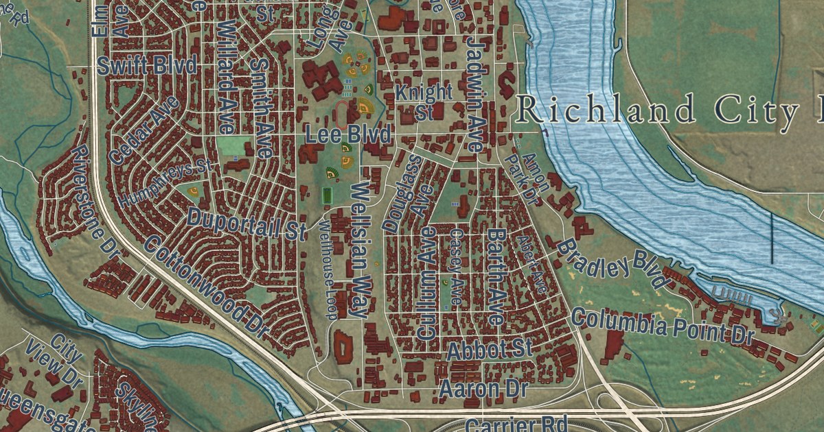
Street and place names on the Richland, Washington map
These names are printed on the map of Richland, Washington.
Places: Richland City Hall, Richland Junction and Yakima Delta.
Streets and roads: By Pass Highway, West Van Giesen Street, West Gage Boulevard, Stevens Drive, Adair Drive, Gage Boulevard, Twin Bridges Road, Queensgate Drive, George Washington Way, Unnamed Pr, Grosscup Road, Bradley Boulevard.
More street names, A to Z
Aaron Drive, Abbot Street, Abert Avenue, Acacia Avenue, Alder Avenue, Amon Drive, Amon Park Drive, Anna Avenue, Appaloosa Way, Ava Way, Barth Avenue, Battelle Bl, Battelle Boulevard, Battle Boulevard, Bear Drive, Beardsley Road, Bellerive Drive, Bermuda Road, Birch Avenue, Boone Road, Brantingham Road, Brian Lane, Bridle Drive, Broadmoor Street, Bronco Lane, Buckskin Loop, Butler Loop, Canyon Street, Carrier Road, Casey Avenue, Catskill Street, Cedar Avenue, Center Boulevard, Chelan Loop, City View Drive, Coast Street, Columbia Center Boulevard, Columbia Park Trail, Columbia Point Drive, Cottonwood Drive, Country Ridge Drive, Cowlitz Boulevard, Crimson Way, Cullum Avenue, Dallas Road, Davison Avenue, Dillion Road, Dockton Avenue, Douglass Avenue, Duportail Street, East 210 Pr Northeast, East Reata Road, Elm Avenue, Englewood Drive, Enterprise Drive, Fermi Avenue, First, First Street, Fourth Street, Fowler Street, Fuller Street, Gala Way, Garlick Boulevard, Gay Road, Gilmore Avenue, Gleed Drive, Glen Road, Goethals Drive, Gomer Road, Greenbrook Boulevard, Hagen Road, Hains Avenue, Hall Road, Hanford Street, Harris Avenue, Heritage Hills Drive, Highview Street, Hills West Way, Hillview Drive, Hood Avenue, Horn Rapids Road, Howell Avenue, Humphreys Street, Hunt Avenue, Hunter Street, Hurley Road, Hyde Road, Jadwin Avenue, Jericho Road, Jones Road, Keene Road, Kelly Avenue, Kennedy Road, Kensington Way, Kingsgale Way, Kingston Road, Knight Street, Lacy Road, Lee Boulevard, Leslie Road, Log Lane, Long Avenue, Mahan Avenue, Marshall Avenue, McMurray Avenue, McMurray Street, Meadow Hills Drive, Mesa Drive, Michael Avenue, Morency Drive, Newcomer Avenue, Newhaven Loop, North Snively Road, Oahu Street, Orchard Way, Oxford Avenue, Oxford Street, Penny Lane, Perkins Avenue, Pinto Loop, Piper Street, Port of Benton Boulevard, Putnam Street, Rachel Road, Rau Lane, Reata Road, Rimrock Avenue, Riverbend Drive, River Park Drive, Riverstone Drive, River Valley Drive, Robertson Drive, Rocky Road, Sagewood Street, Saint Street, Salk Avenue, Sanford Avenue, Satus Street, Scot Street, Shockley Road, Sicily Lane, Sirron Avenue, Sixth Street, Skyline Drive, Smith Avenue, Smitty Drive, Snyder Road, Snyder Street, South Bent Road, Spengler Road, Spengler Street, Spring Street, Sprout Road, Steptoe Street, Stonecreek Drive, Summit Street, Sunshine Ridge Road, Swift Boulevard, Symons Street, Tapteal Drive, Tenth, Terminal Drive, Thayer Drive, Third Street, Tiger Lane, Tinkle Street, Tomich Avenue, Torbett Street, Travis Lane, Tulip Lane, Venus Cr, View Drive, Village Parkway, Wellhouse Loop, Wellsian Way, Westcliff Boulevard, Willard Avenue, Williams Boulevard, Wilson Street, Wiscousin Street, Wright Avenue.
See the Richland, Washington map on a wall
The Richland map as an 18 x 24 inch print in a black frame.

This beautifully detailed map of Richland makes an attractive addition to your office, library, or den, and it can even be used to teach children the geography and history of the area. It also makes a great gift for anyone who grew up in Richland or moved away. When you’re done exploring, click here to get your copy of the Richland map.