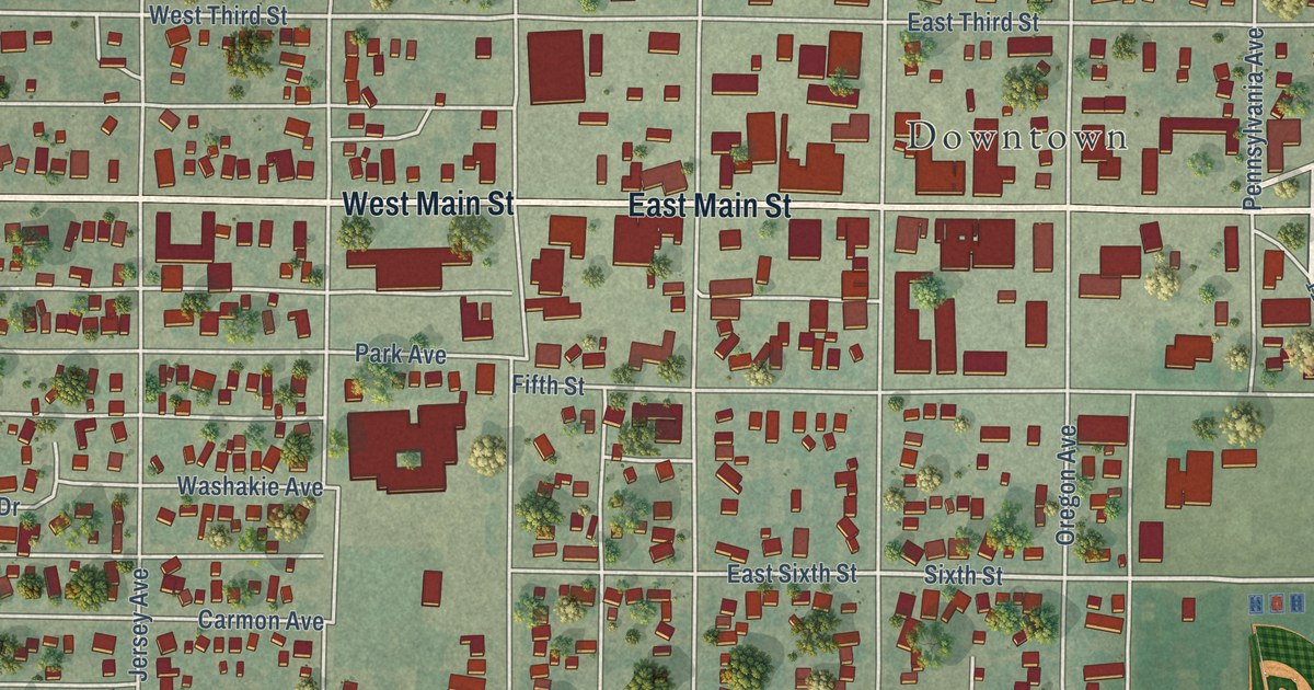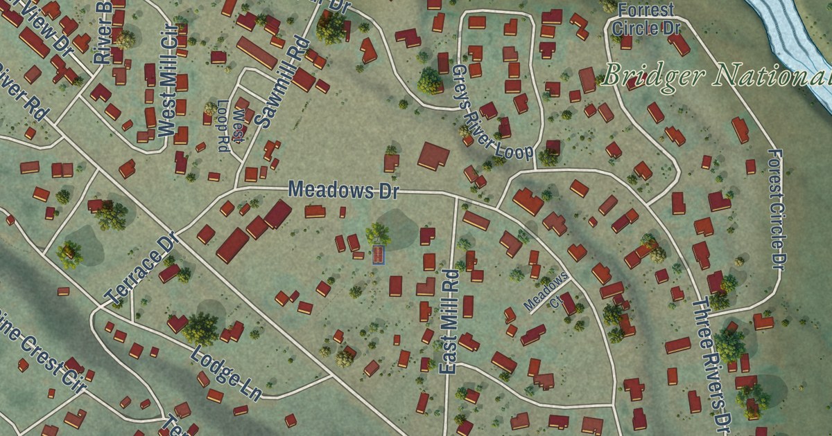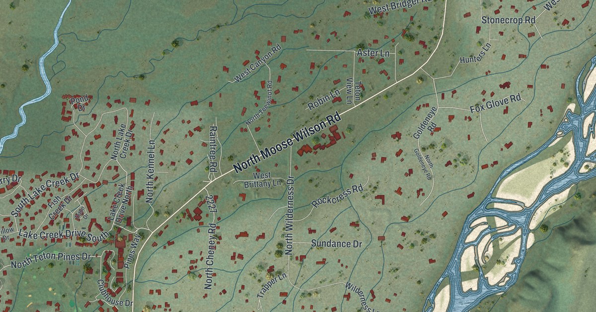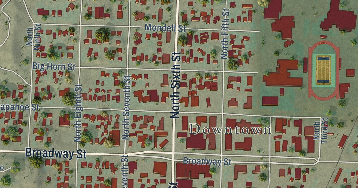
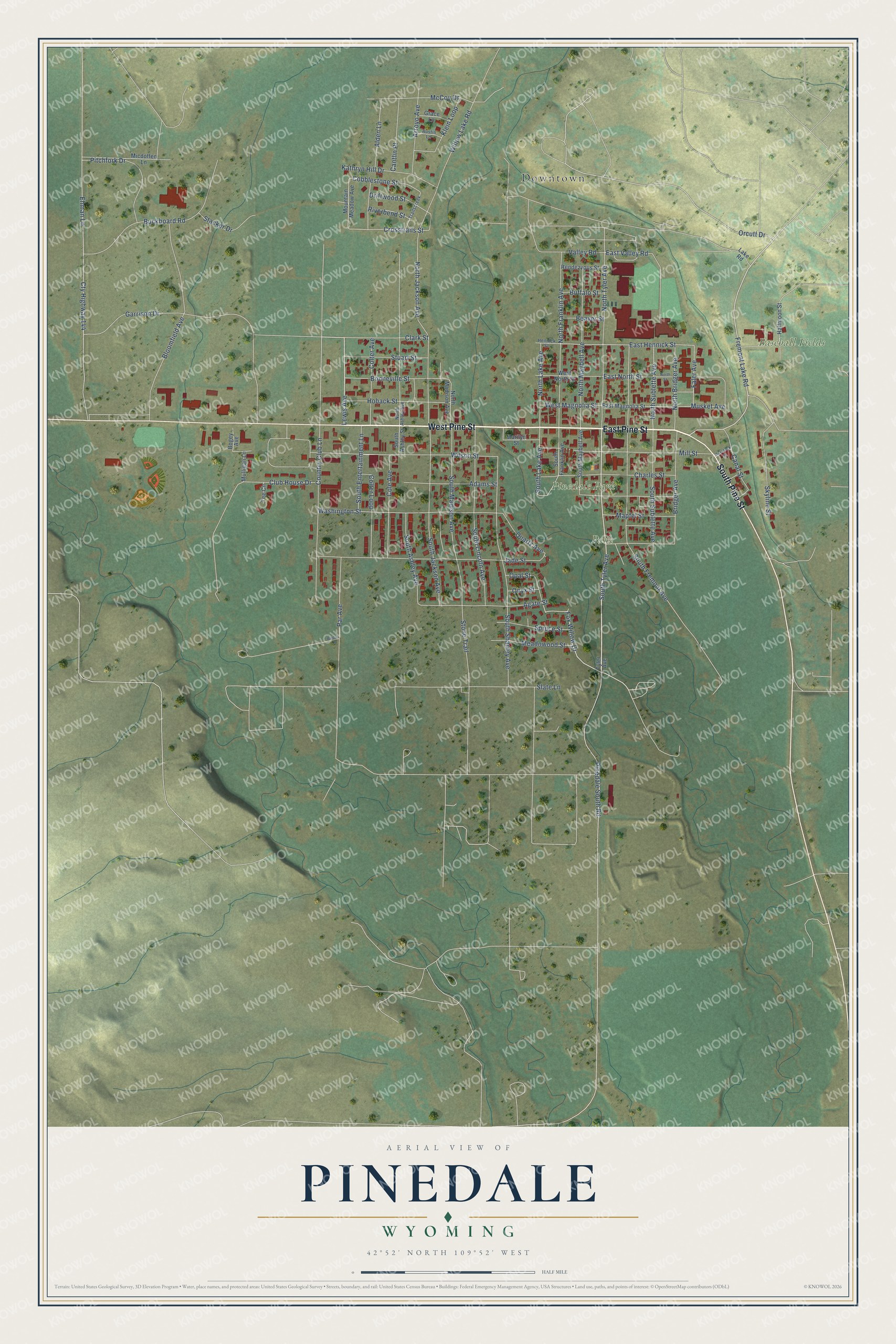
This beautifully detailed map of Pinedale, Wyoming was created in 2026 using aerial imagery combined with modern topographical, census, street and landmark data. It’s a one-of-a-kind view of Pinedale that combines accurate data with a vintage aesthetic. The map shows every building in its true location, many of the roads carry their names, and the shaded topographic relief shows the shape of the land.
Explore an aerial view of Pinedale, Wyoming
On the map you’ll find Downtown, Baseball Fields, Pinedale Park, and Park, along with West Pine Street, East Pine Street, South Pine Street, South Tyler Avenue, Lewis Avenue, Fremont Lake Road, Fox Willow Drive, Orcutt Drive, and more. If you look closely you can even find your house accurately drawn in its correct location. Zoom in on the preview to look for yours.
Did you know this piece of Pinedale, Wyoming history?
From the Wyoming State Historical Society: "In 1912, Pinedale was incorporated and gained its popular claim to fame as the incorporated town farthest from a railroad in the United States."
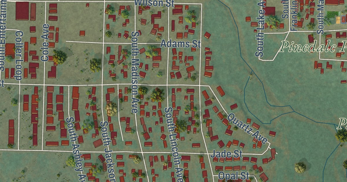
Take a closer look at the Pinedale map
Street and place names on the Pinedale, Wyoming map
These names are printed on the map of Pinedale, Wyoming.
Places: Downtown, Baseball Fields, Pinedale Park and Park.
Streets and roads: West Pine Street, East Pine Street, South Pine Street, South Tyler Avenue, Lewis Avenue, Fremont Lake Road, Fox Willow Drive, Orcutt Drive, North Sublette Avenue, Faler Avenue, East Hennick Street, West Magnolia Street.
More street names, A to Z
Adams Street, Agate Street, Alden Lane, Arroyo Avenue, Austin Lane, Beaver Street, Birdie Lane, Bloomfield Avenue, Bogey Avenue, Bonneville Street, Bridger Avenue, Buckboard Road, Buffalo Street, Canal Street, Cantlin Place, Charles Street, Clark Street, Club House Drive, Cobblestone Street, Cole Avenue, Colter Avenue, Colter Loop, Country Club Lane, Crosstrails Street, Cty Highway 144, Driftwood Street, East Magnolia Street, East North Street, East Valley Road, Ehman Lane, Garrison Drive, Grace Lane, Halfmoon Street, Haystack Street, Hennick Street, Hoback Street, Jade Street, Kathryn Hill Drive, Klein Loop, Lake Road, Mapfel Street, Marilyn Street, McCoy Drive, Meadowood Street, Micdoffen Lane, Mill Street, Mountain Meadow Avenue, Mulligan Lane, Musket Avenue, North Ashley Avenue, North Bridger Avenue, North Franklin Avenue, North Jackson Avenue, North Lake Avenue, North Madison Avenue, North Maybell Avenue, North Street, North Tyler Avenue, Onyx Street, Opal Street, Par Avenue, Pinedale South Road, Pitchfork Drive, Quartz Avenue, Rendezvous Street, Riverbend Street, Skyline Street, Slate Lane, South Ashley Avenue, South Ashley Street, South Entertainment Lane, South Franklin Avenue, South Fremont Avenue, South Jackson Avenue, South Lake Avenue, South Lincoln Avenue, South Madison Avenue, South Maybell Avenue, South Shanley Avenue, South Sublette Avenue, Spruce Street, Stacker Drive, Stone Trail, Stuart Street, Tee Circle, Trailscreek, Tyler Avenue, Valley Road, Washington Street, West North Street, Willow Lake Road, Wilson Street.
See the Pinedale, Wyoming map on a wall
The Pinedale map as an 18 x 24 inch print in a black frame.

This beautifully detailed map of Pinedale makes an attractive addition to your office, library, or den, and it can even be used to teach children the geography and history of the area. It also makes a great gift for anyone who grew up in Pinedale or moved away. When you’re done exploring, click here to get your copy of the Pinedale map.