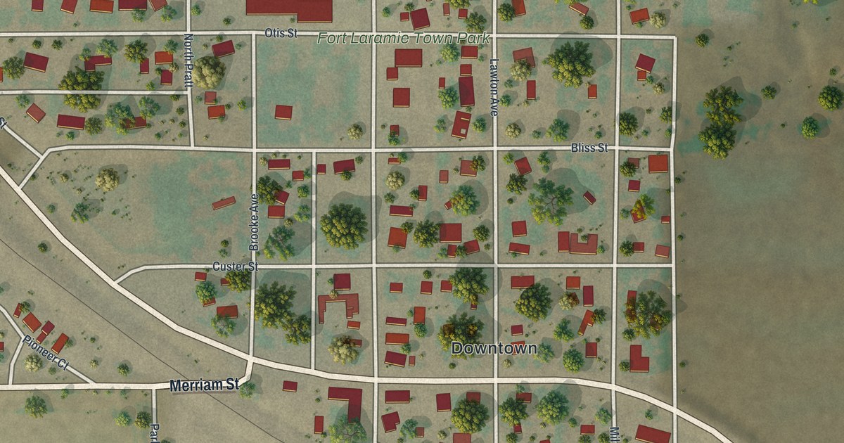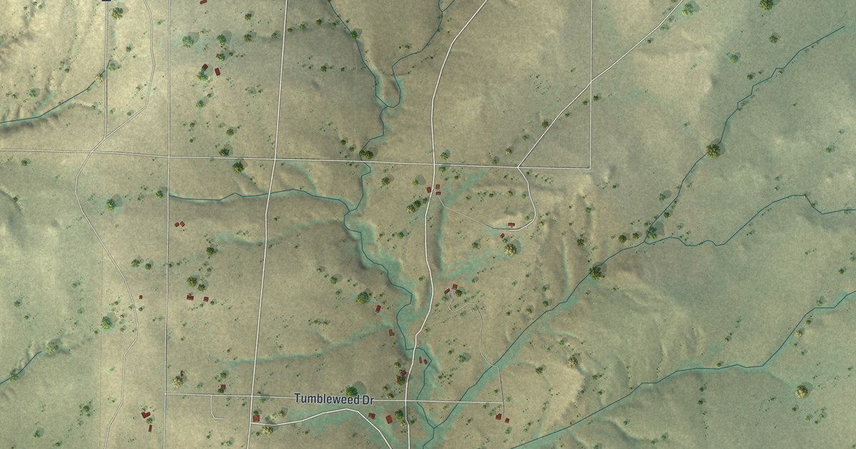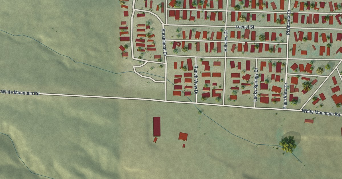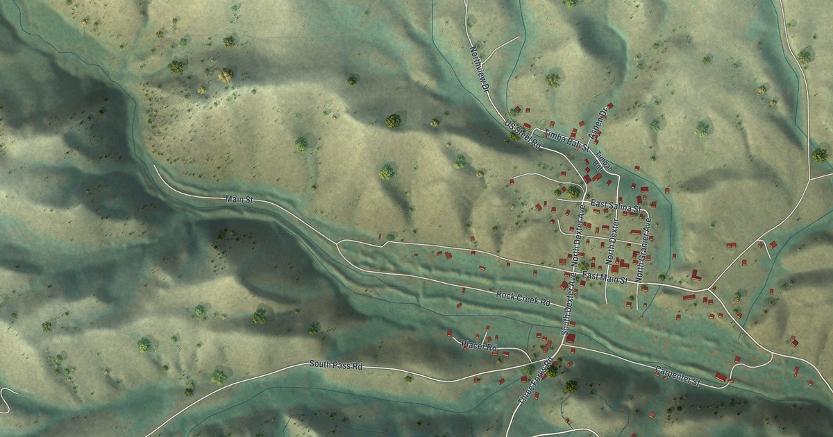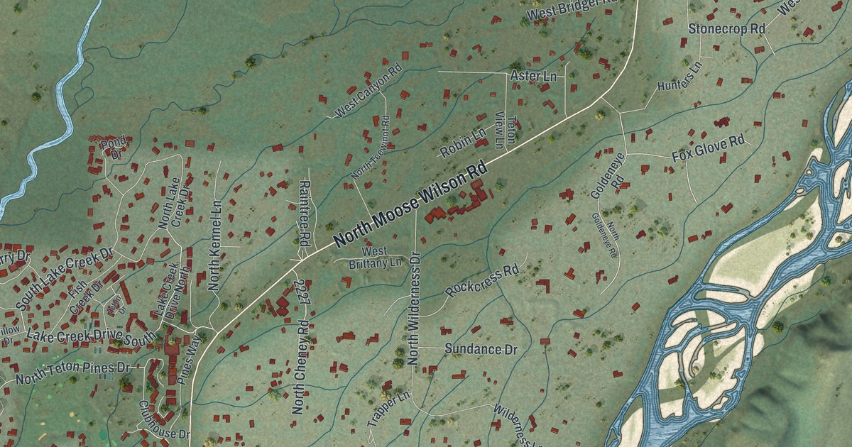
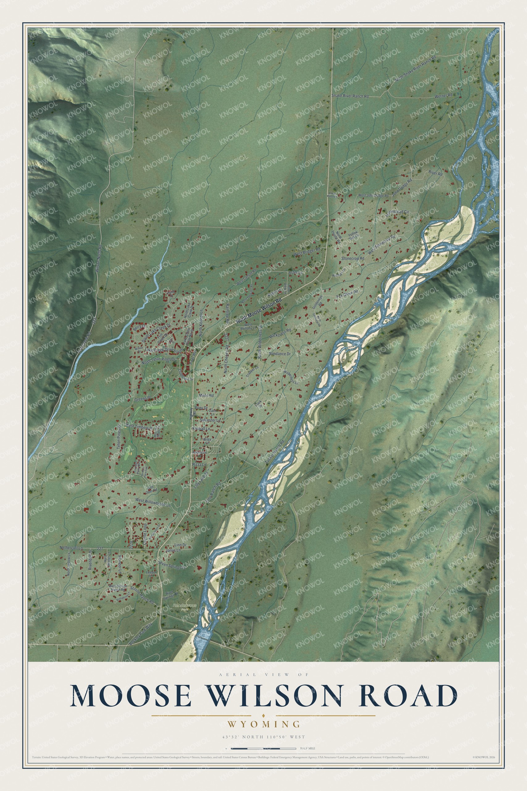
This beautifully detailed map of Moose Wilson Road, Wyoming was created in 2026 using aerial imagery combined with modern topographical, census, street and landmark data. It's a modern aerial view of Moose Wilson Road in Teton County, Wyoming, that combines modern data with a vintage aesthetic. The roads feature printed names, and if you look closely you can find your exact house accurately shown in its correct location.
Explore an aerial view of Moose Wilson Road, Wyoming
On this map you'll find Rendezvous Park, North Moose Wilson Road, Wilson-North Road, Fish Creek Road, North Teton Pines Drive, Teton Pines Drive, Berry Drive, Jarvis Lane, Tucker Ranch Road, Snake River Ranch Road, North Snake River Ranch Road, North Wilderness Drive, and more. Each red shape is a building, so zoom in on the preview and look for yours.
Moose Wilson Road has a story worth telling. The Snake River Ranch began with a boy's summer trip. In 1929 twelve year old Stanley Resor spent the summer in Jackson Hole, heard that land was for sale and told his father, the president of the J. Walter Thompson advertising firm, who bought four hundred acres on the west bank of the Snake River without ever seeing it. In 1937 Helen Lansdowne Resor brought Ludwig Mies van der Rohe to Wyoming to design a building on the ranch, his first project in the United States. That's from the National Register of Historic Places.
Moose Wilson Road is a community in Teton County. The Census Bureau counted 1,661 people here in 2020.
Take a closer look at the Moose Wilson Road map
Names on this map
These names are printed on this map.
Places: Rendezvous Park.
Streets and roads: North Moose Wilson Road, Wilson-North Road, Fish Creek Road, North Teton Pines Drive, Teton Pines Drive, Berry Drive, Jarvis Lane, Tucker Ranch Road, Snake River Ranch Road, North Snake River Ranch Road, North Wilderness Drive, West Willowbrook Lane.
More street names, A to Z
Andersen Lane, Aster Lane, B-Hive Ranch Road, Beckley Park Way, Clark Drive, Clubhouse Drive, Coyote Loop, Fairways Place East, Fairways Place West, Fish Creek Drive, Fox Glove Road, Goldeneye Road, Golf Oper Road, Greens Place, Hard Winter Lane, Highway 390, Homestead Circle, Hunters Lane, John Dodge Road, Kimball Lane, Lake Creek Drive North, Lake Creek Drive South, Leeper Lane, Lilly Lake Drive, Linn Drive, Linn Ranch Road, Miles Road, Mountain Maple Lane, Nethercott Lane, North Cheney Road, North Goldeneye Road, North Kennel Lane, North Lake Creek Drive, North Teewinot Road, North Thistle Road, North Willow Lane, Pines Way, Pioneer Lane, Pizza Lane, Pond Drive, Pony Drive, Prosperity Lane, Raintree Road, Rendezvous Drive, Rivendell Drive, River Road, River Springs Drive, Robin Lane, Rockcress Road, Seven Springs Drive, South Lake Creek Drive, Stilson Ranch Road, Stonecrop Road, Sundance Drive, Sylvester Lane, Teton Drive, Teton View Lane, Trapper Lane, Werner Road, West Bridger Road, West Brittany Lane, West Canyon Road, West John Dodge Road, West Stilson Ranch Road, West Stonecrop Road, West Timbers Place, Wilderness Lane, Wiley Lane, Willow Drive, Yellow Bell Circle, Zach Lane.
See it on a wall
The Moose Wilson Road map as a framed print. Swipe for more.


Created by KNOWOL in 2026. The buildings are small red shapes, the roads carry their printed names, and shaded relief shows the shape of the land. The title panel reads "AERIAL VIEW OF MOOSE WILSON ROAD, WYOMING" with 43°32' NORTH 110°50' WEST.
It looks right in a kitchen, an office or a den, and it's a gift for anyone who grew up in Moose Wilson Road or moved away. Open the preview and find your street. See sizes and frames for the Moose Wilson Road map.