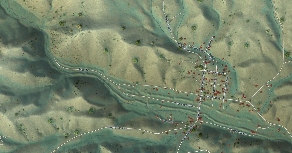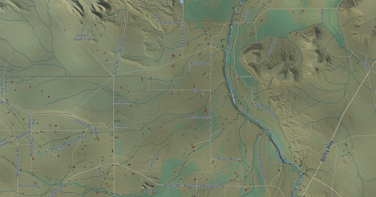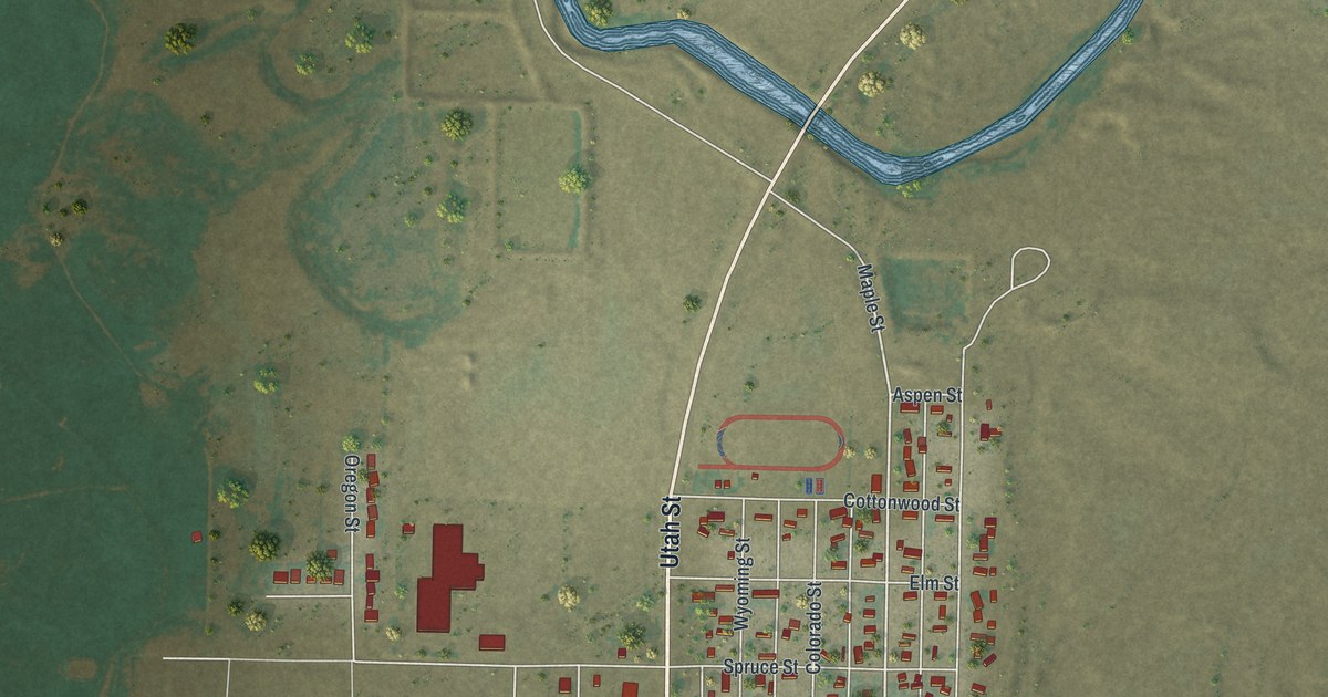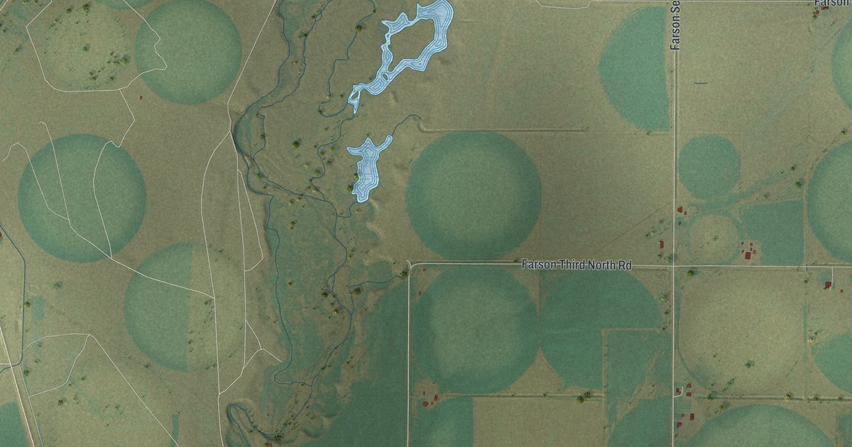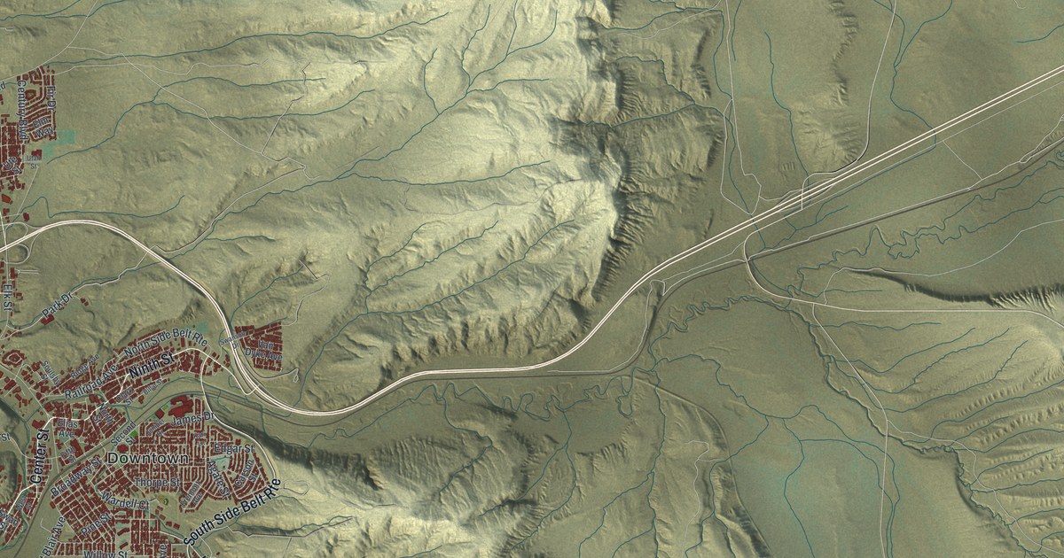
This beautifully detailed map of Rock Springs, Wyoming was created in 2026 using aerial imagery combined with modern topographical, census, street and landmark data. It’s a one-of-a-kind view of Rock Springs that combines accurate data with a vintage aesthetic. The map shows every building in its true location, many of the roads carry their names, and the shaded topographic relief shows the shape of the land.
Explore an aerial view of Rock Springs, Wyoming
On the map you’ll find Downtown, Blairtown, Rock Springs Municipal Golf Course, Sweetwater County Events Complex, and South Side Belt Rte, along with Dewar Drive, Center Street, Ninth Street, Elk Street, Springs Drive, Summit Drive, Stagecoach Boulevard, and more. If you look closely you can even find your house accurately drawn in its correct location. Zoom in on the preview to look for yours.
Did you know this piece of Rock Springs, Wyoming history?
From Wyoshpo.wyo.gov: "In 1868 the first coal mine was opened under the auspices of the Blair Brothers. 1869 also marked the year that the Union Pacific Railroad was built through Rock Springs and the town quickly became the central terminal for stock herds being shipped to market from Rocky Mountain cattle raising country."
Take a closer look at the Rock Springs map
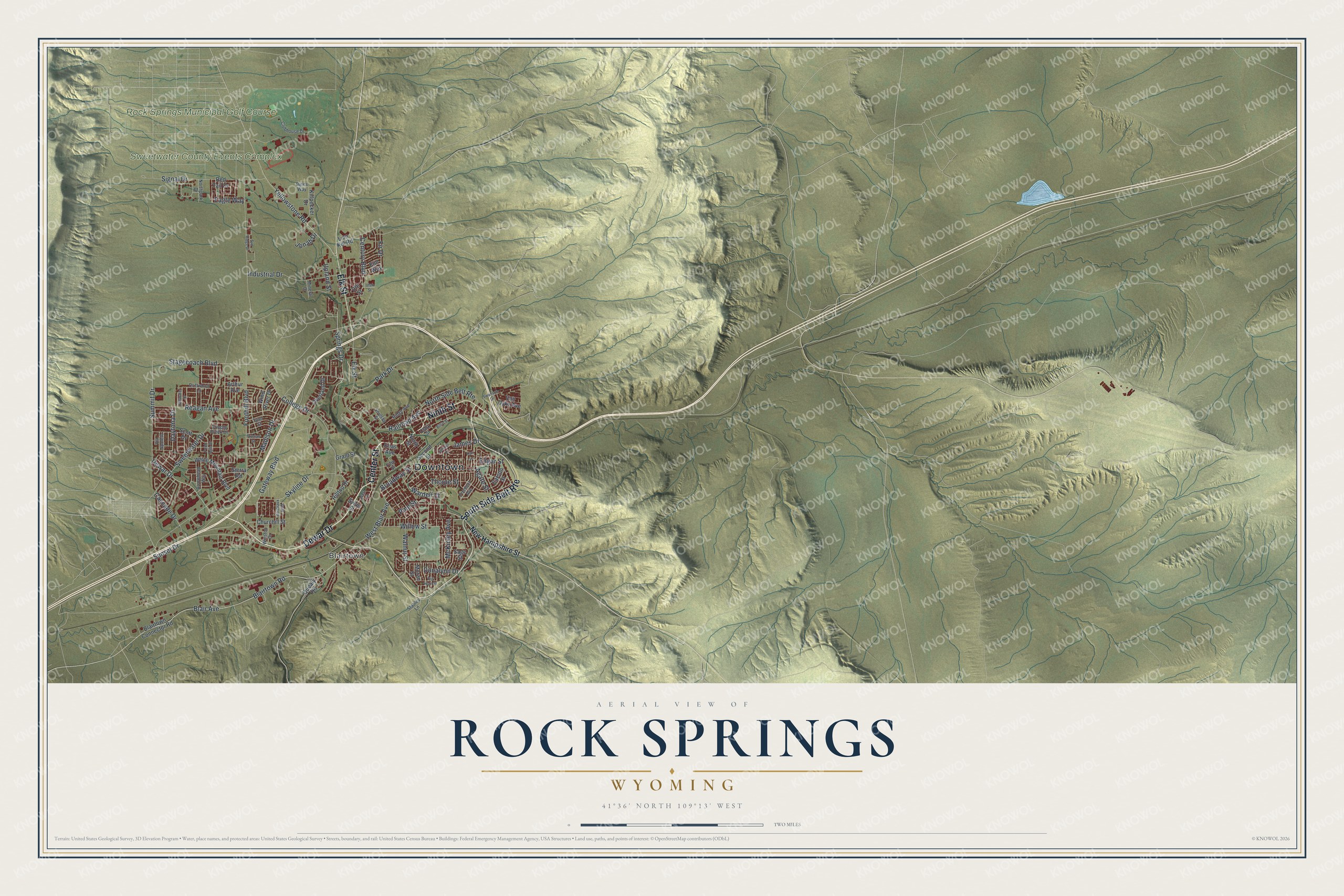
Street and place names on the Rock Springs, Wyoming map
These names are printed on the map of Rock Springs, Wyoming.
Places: Downtown, Blairtown, Rock Springs Municipal Golf Course and Sweetwater County Events Complex.
Streets and roads: Dewar Drive, Center Street, Ninth Street, South Side Belt Route, Elk Street, Springs Drive, Summit Drive, Stagecoach Boulevard, Blair Avenue, Broadway Street, Foothill Boulevard, Yellowstone Road.
More street names, A to Z
Agate Street, Arrowhead Way, Arthur Avenue, Big Horn Street, Billie Street, Blairtown Connector Road, Blairtown Road, Bordeaux Boulevard, Carson Street, Cascade Drive, Century Boulevard, Churchill Street, Clark Street, Clubhouse Drive, College Drive, Cripple Creek Drive, Daytona Drive, Dines Way, Donalynn Drive, Driftwood Lane, Eagle Way, Edgar Street, Elias Avenue, Elm Way, Fifth Street, Fir Drive, Fremont Avenue, Gateway Boulevard, Grant Street, Hilltop Drive, Industrial Drive, James Drive, Jonah Drive, Juniper Drive, Kari Lane, Killpecker Drive, Lion Kol Road, Madison Drive, McKinley Avenue, Mineral Drive, Moran Street, New Hampshire Street, Northpark Drive, North Side Belt Route, North Street, Overland Drive, Park Drive, Pine Street, Popo Agie Drive, Quealy Road, Railroad Avenue, Reagan Avenue, Red Tail Drive, Ridge Avenue, Sage Street, Scott Drive, Second Street, Sierra Road, Signal Drive, Skyline Drive, Soulsby Street, Stables Lane, Stillwater Drive, Sun Ridge Drive, Sunset Drive, Swanson Drive, Swan Street, Sweetwater Drive, Thorpe Street, Truman Street, Tyler Street, Upland Street, Utah Street, Ute Street, Van Dyke Avenue, Via Spoleto, Walnut Street, Wardell Court, West Blair Avenue, West Street, White Mountain Boulevard, Willow Street, Wind River Drive, Winston Drive.
See the Rock Springs, Wyoming map on a wall
The Rock Springs map as an 18 x 24 inch print in a black frame.

This beautifully detailed map of Rock Springs makes an attractive addition to your office, library, or den, and it can even be used to teach children the geography and history of the area. It also makes a great gift for someone who left Rock Springs and still calls it home. When you’re done exploring, click here to get your copy of the Rock Springs map.