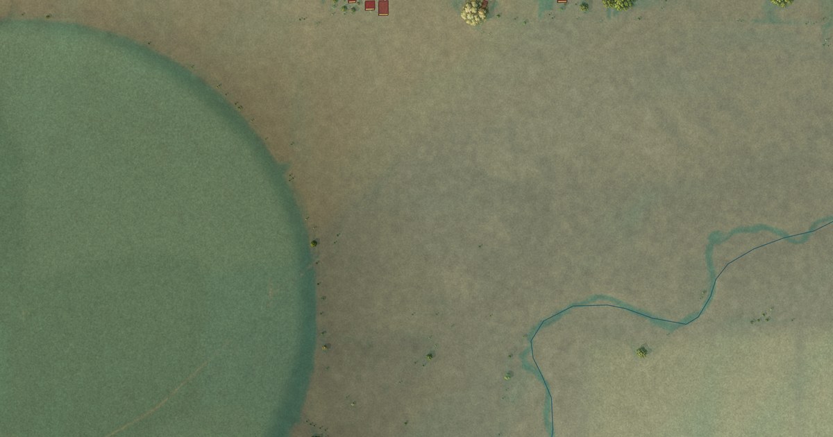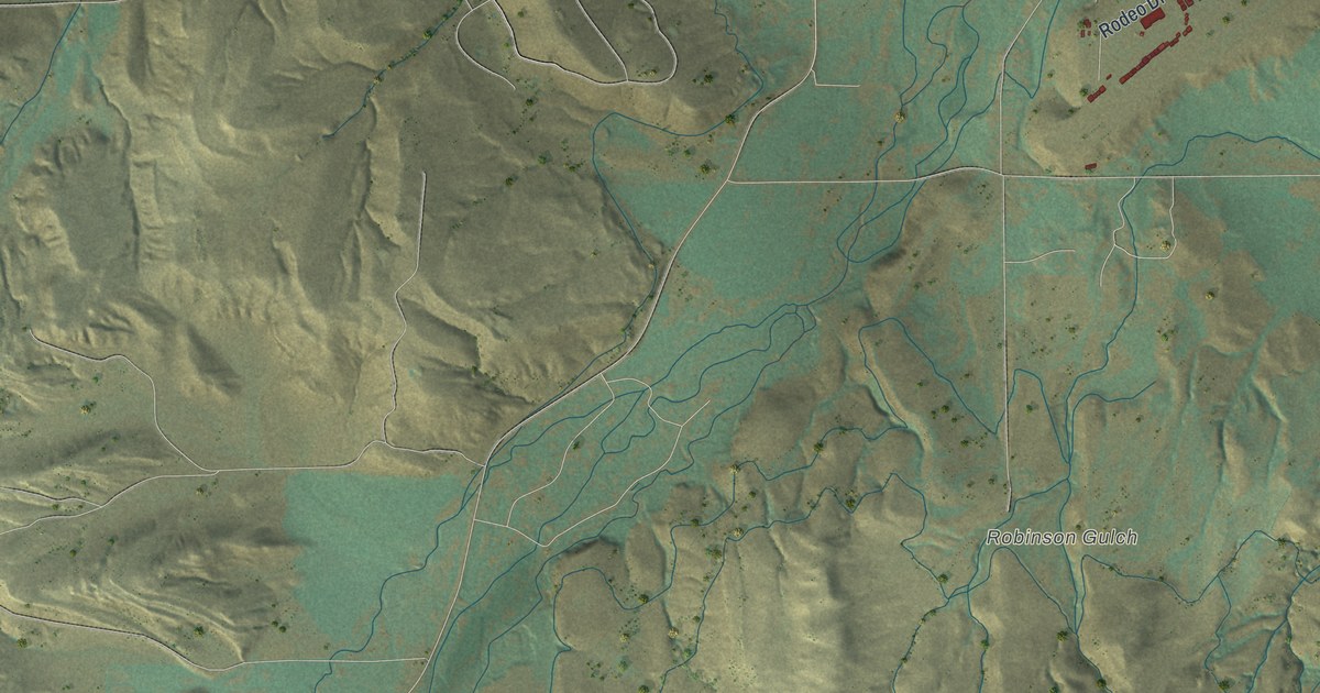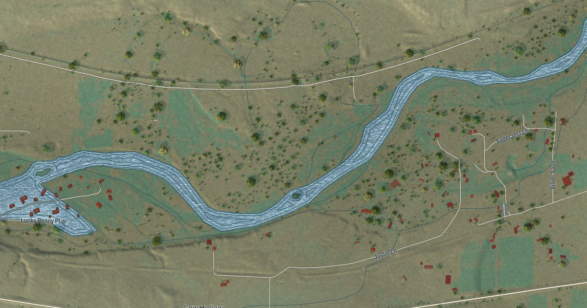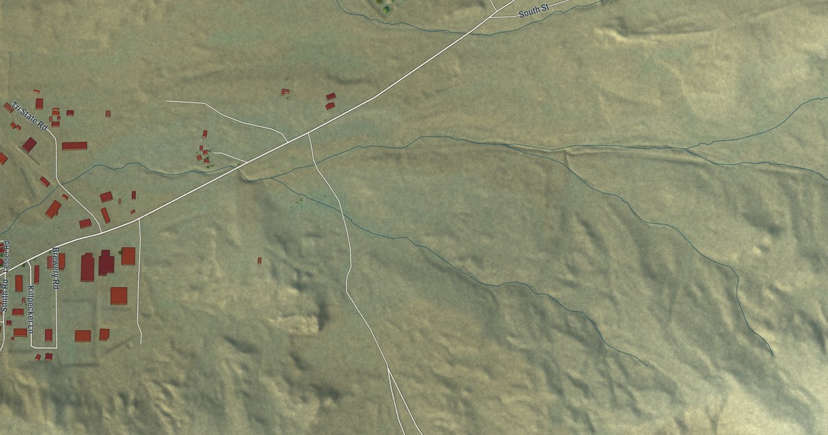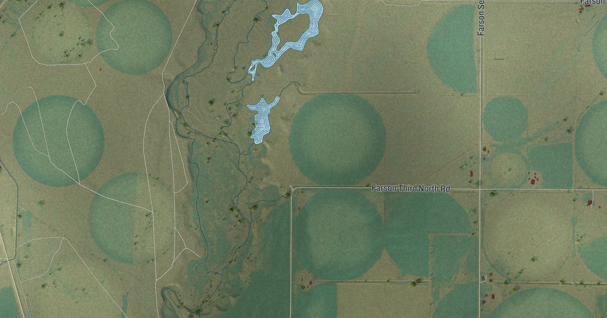
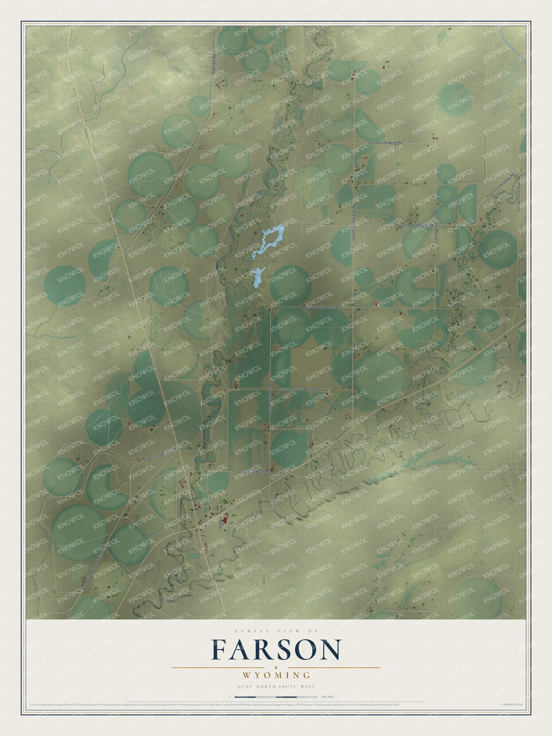
This beautifully detailed map of Farson, Wyoming was created in 2026 using aerial imagery combined with modern topographical, census, street and landmark data. It's a modern aerial view of Farson in Sweetwater County, Wyoming, that combines modern data with a vintage aesthetic. The roads feature printed names, and if you look closely you can find your exact house accurately shown in its correct location.
Explore an aerial view of Farson, Wyoming
On this map you'll find Farson First East Road, Farson Fifth North Road, Farson Second East Road, Haystack Butte, California-Mormon Emigrant Road, Lower Farson Cutoff Road, Farson Third North Road, Farson Second North Road, Farson Third East Road, Farson Fourth North Road, Farson Little Sandy Road, Farson First North Road, and more. Each red shape is a building, so zoom in on the preview and look for yours.
Here is a piece of Farson history. The main Fort Bridger route of the Oregon Trail forded the Big Sandy River right where Farson stands today, close to where the modern bridge crosses. In later years a stage station and a Pony Express station stood at the crossing. The British travel writer Richard Burton passed through in 1860 and found it a pleasant place, with the creek running clear and swift through a little prairie bright with wildflowers. That's from the WyoHistory online encyclopedia.
Farson is a community in Sweetwater County. The Census Bureau counted 272 people here in 2020.
Take a closer look at the Farson map
Names on this map
These names are printed on this map.
Streets and roads: Farson First East Road, Farson Fifth North Road, Farson Second East Road, Haystack Butte, California-Mormon Emigrant Road, Lower Farson Cutoff Road, Farson Third North Road, Farson Second North Road, Farson Third East Road, Farson Fourth North Road, Farson Little Sandy Road, Farson First North Road.
More street names, A to Z
Campus Way, Farson Fourth East Road.
See it on a wall
The Farson map as a framed print. Swipe for more.


Created by KNOWOL in 2026. The buildings are small red shapes, the roads carry their printed names, and shaded relief shows the shape of the land. The title panel reads "AERIAL VIEW OF FARSON, WYOMING" with 42°09' NORTH 109°25' WEST.
It suits a den, a classroom or a front hall, and it makes a gift for anyone with Farson roots. Open the preview and find the block you know. See sizes and frames for the Farson map.