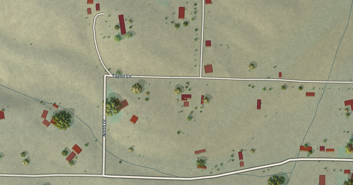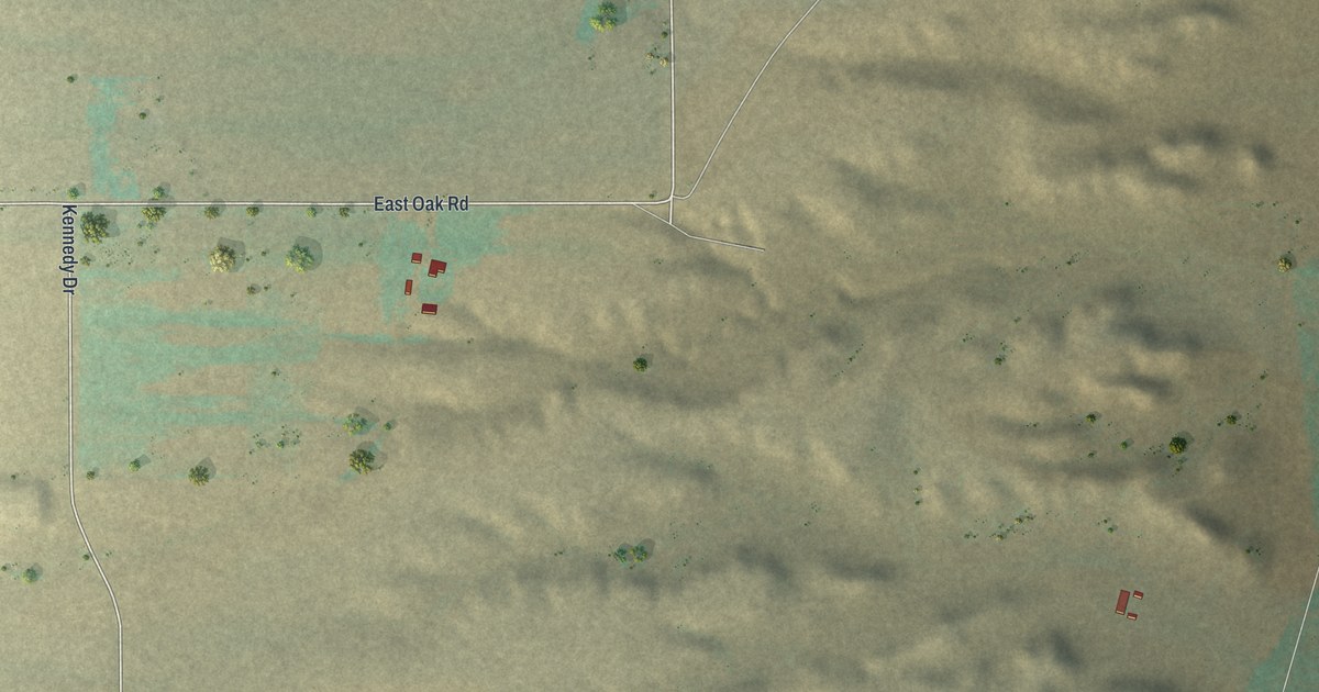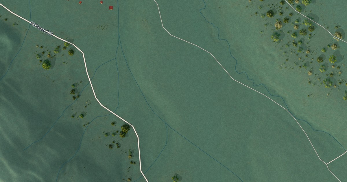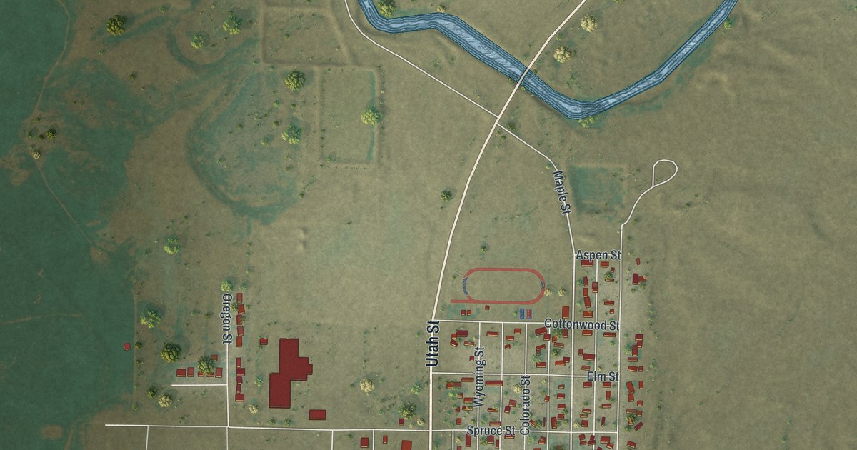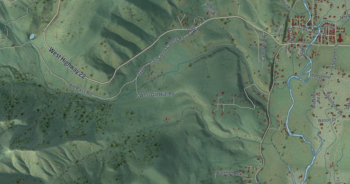
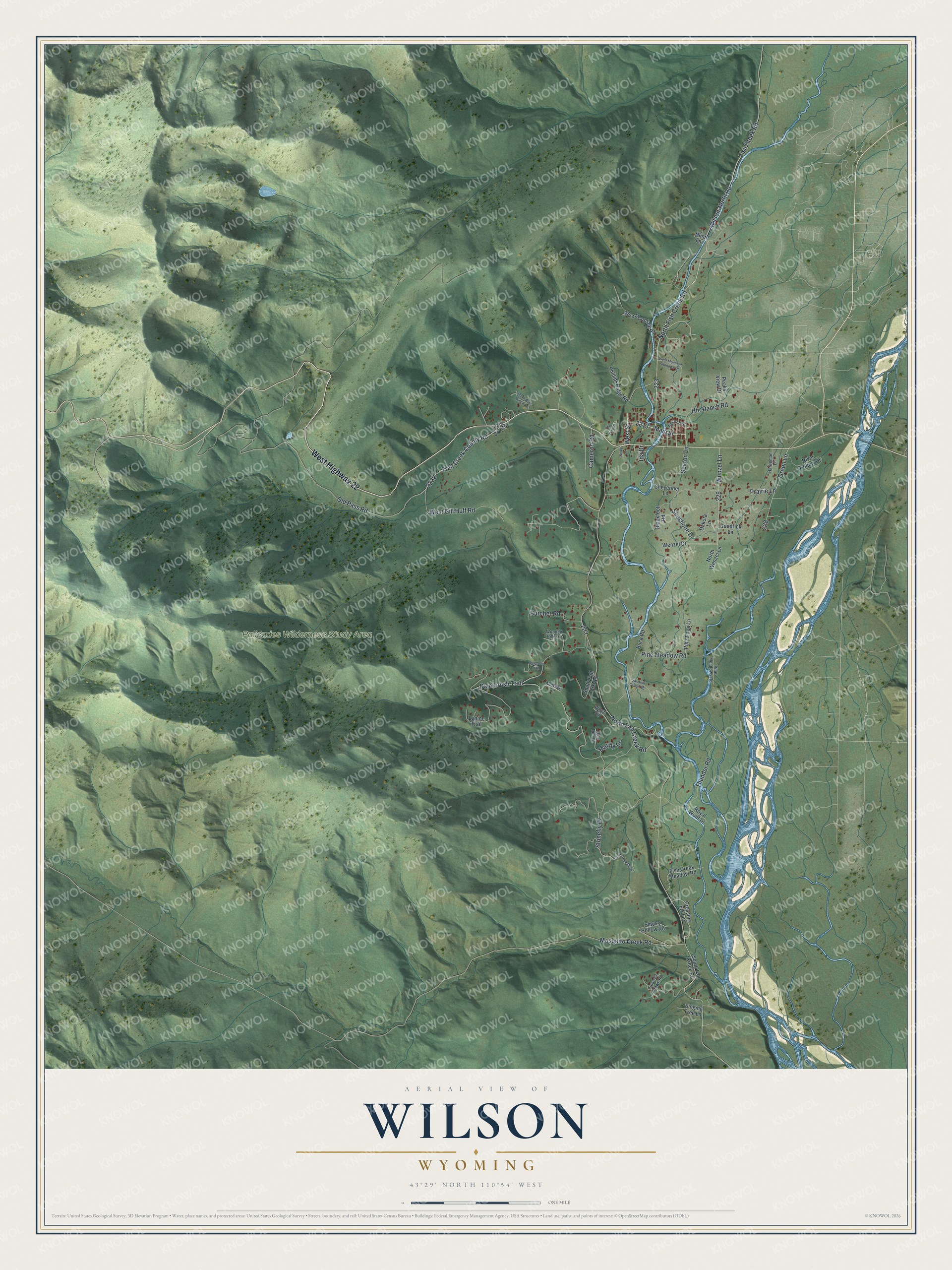
This beautifully detailed map of Wilson, Wyoming was created in 2026 using aerial imagery combined with modern topographical, census, street and landmark data. It's a modern aerial view of Wilson in Teton County, Wyoming, that combines modern data with a vintage aesthetic. The roads feature printed names, and if you look closely you can find your exact house accurately shown in its correct location.
Explore an aerial view of Wilson, Wyoming
On this map you'll find Palisades Wilderness Study Area, West Highway 22, Main Street, Wilson-North Road, West Street, North Fish Creek Road, Old Pass Road, North Fall Creek Road, Green Lane, Fish Creek Road, Paintbrush Trail, Pine Meadow Road, and more. Each red shape is a building, so zoom in on the preview and look for yours.
Every town has a first chapter, and Wilson is no exception. Nick Wilson, known as Uncle Nick, settled on a homestead along Fish Creek and built the second post office in Jackson Hole and the valley's first hotel. When he won the postmaster contract, he named the post office Wilson. The hotel stood at the bottom of Teton Pass and was the first stopping place for many newcomers to the valley. That's from the History Jackson Hole museum.
Wilson is a community in Teton County. The Census Bureau counted 1,567 people here in 2020.
Take a closer look at the Wilson map
Names on this map
These names are printed on this map.
Places: Palisades Wilderness Study Area.
Streets and roads: West Highway 22, Main Street, Wilson-North Road, West Street, North Fish Creek Road, Old Pass Road, North Fall Creek Road, Green Lane, Fish Creek Road, Paintbrush Trail, Pine Meadow Road, Shoshone Drive.
More street names, A to Z
Blackfoot Road, Bluebell Trail, Blue Dun Lane, Blue Mountain Road, Buck Road, Burcher Road, Cameron Road, Cheyenne Lane, Crossing Elk Lane, Dakota Lane, Fish Creek Meadow Road, Goodrick Lane, Hardeman Lane, Hhr Ranch Road, Hunt Lane, Ida Drive, Lundy Lane, Lupine Trail, Mayfly Drive, McNeely Lane, Mosquito Creek Road, North Pass Ranch Road, North Wenzel Lane, Old Trail Drive, Peaks View Drive, Phillips Ridge Road, Pine Edge Lane, Pine Meadows Road, Prairie Lane, River Hollow Drive, Royal Wulff Drive, Sandhill Crane Road, Seaton Lane, Second Street, Singing Tree Lane, Smoky Hollow Road, South Fall Creek Road, South Fall Crk Road, South Stonefly Drive, Sparrow Hawk Road, Stonefly Drive, Thunder Road, Trail Creek County Road, Trail Crk Road, Wapiti Road, Wenzel Drive, Wenzel Lane, West Gill Huff Road, West Mountain Shadows Drive, Wooded Hills Lane.
See it on a wall
The Wilson map as a framed print. Swipe for more.


Created by KNOWOL in 2026. The buildings are small red shapes, the roads carry their printed names, and shaded relief shows the shape of the land. The title panel reads "AERIAL VIEW OF WILSON, WYOMING" with 43°29' NORTH 110°54' WEST.
Hang it in the hallway, the office or the cabin, or give it to someone who left Wilson and still calls it home. Open the preview and look for a street you know. See sizes and frames for the Wilson map.