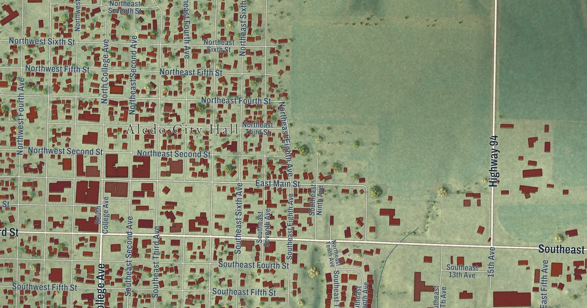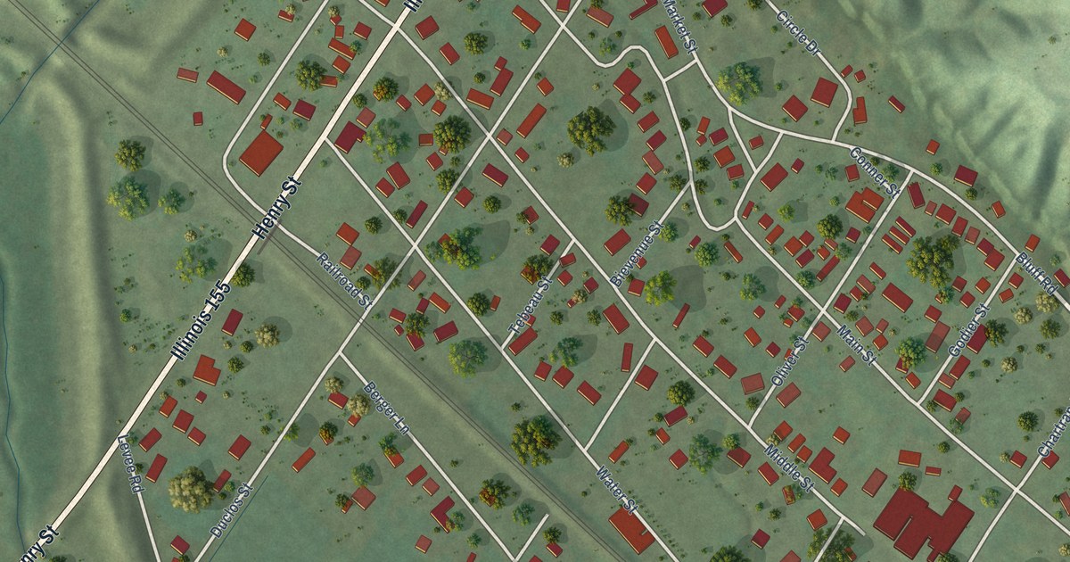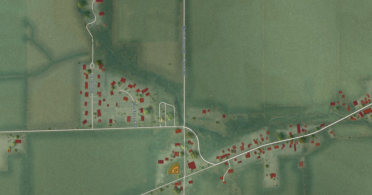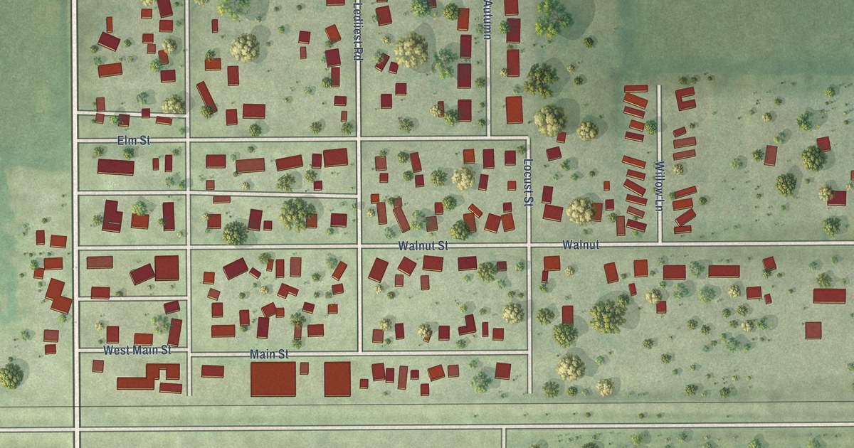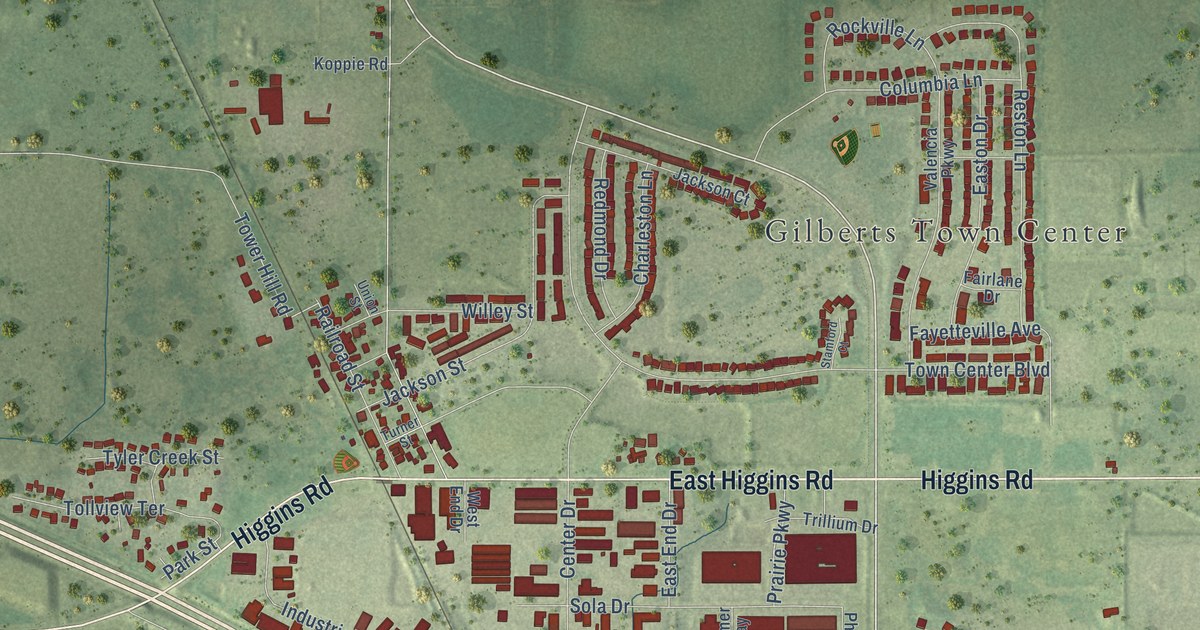
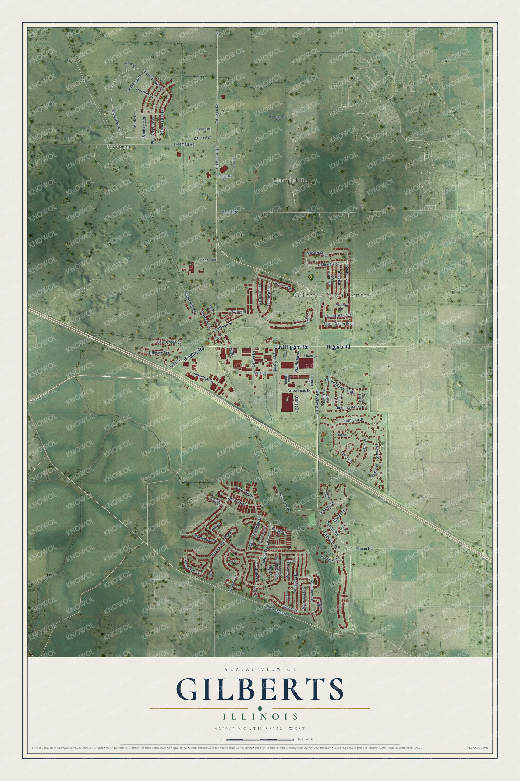
This beautifully detailed map of Gilberts, Illinois was created in 2026 using aerial imagery combined with modern topographical, census, street and landmark data. It's a modern aerial view of Gilberts in Kane County, Illinois, that combines modern data with a vintage aesthetic. The roads feature printed names, and if you look closely you can find your exact house accurately shown in its correct location.
Explore an aerial view of Gilberts, Illinois
On this map you'll find Gilberts Town Center, Binnie Hills, Freeman, Higgins Road, East Higgins Road, Tyrrell Road, Brielle Boulevard, Towne Street, Glacial Falls Drive, Forest Trail Lane, Co Highway 9, Galligan Road, and more. Each red shape is a building, so zoom in on the preview and look for yours.
Gilberts is a village in Kane County. The Census Bureau counted 8,366 people here in 2020. The map prints the town name in its title panel, with the coordinates below it.
Take a closer look at the Gilberts map
Names on this map
These names are printed on this map.
Places: Gilberts Town Center, Binnie Hills and Freeman.
Streets and roads: Higgins Road, East Higgins Road, Tyrrell Road, Brielle Boulevard, Towne Street, Glacial Falls Drive, Forest Trail Lane, County Highway 9, Galligan Road, County Highway 59, Big Timber Road, Town Center Boulevard.
More street names, A to Z
Alpine Drive, Arrowhead Drive, Aspen Circle, Augusta Drive, Binnie Road, Blue Aster Parkway, Boulder Court, Boulder Drive, Breckenridge Drive, Brentwood Drive, Briarwood Drive, Bristol Court, Burnet Drive, Center Drive, Charleston Lane, Columbia Lane, Copper Mountain Drive, Drumlin Lane, Durango Drive, East End Drive, Easton Drive, Evergreen Circle, Fairlane Drive, Fayetteville Avenue, Freeman Road, Glenbrook Circle, Greenbriar Drive, Hennessy Court, Industrial Drive, Jackson Court, Jackson Street, Jean Street, Joan Court, Kathleen Street, Kerry Court, Kildare Street, Kilkenny Court, Koppie Road, Leadville Court, Leadville Lane, Loveland Court, Mario Lane, Mason Road, Meadows Drive, Paperbark Lane, Paperbark Road, Park Street, Phoenix Road, Pierce Street, Prairie Parkway, Railroad Street, Raymond Drive, Red Hawk Path, Redmond Drive, Regent Drive, Reston Lane, Riemer Way, Rockville Lane, Running Deer Lane, Shining Moon Path, Sleeping Bear Trail, Sola Drive, Sorrento Lane, South Kayla Court, Springcreek Road, Stamford Court, Steamboat Drive, Summit Drive, Sunburst Lane, Telluride Drive, Timber Court, Timber Trails Boulevard, Timber Trails Court, Tipperary Street, Tollview Terrace, Tower Hill Road, Towne Court, Trillium Drive, Turner Street, Tyler Creek Street, Union Street, Vail Court, Valencia Parkway, Wailea Way, Welch Street, West End Drive, White Feather Lane, Willey Street, Woodland Park Circle East.
Created by KNOWOL in 2026. The buildings are small red shapes, the roads carry their printed names, and shaded relief shows the shape of the land. The title panel reads "AERIAL VIEW OF GILBERTS ILLINOIS" with 42°06' NORTH 88°22' WEST.
It looks right in a kitchen, an office or a den, and it's a gift for anyone who grew up in Gilberts or moved away. Open the preview and find your street. See sizes and frames for the Gilberts map.