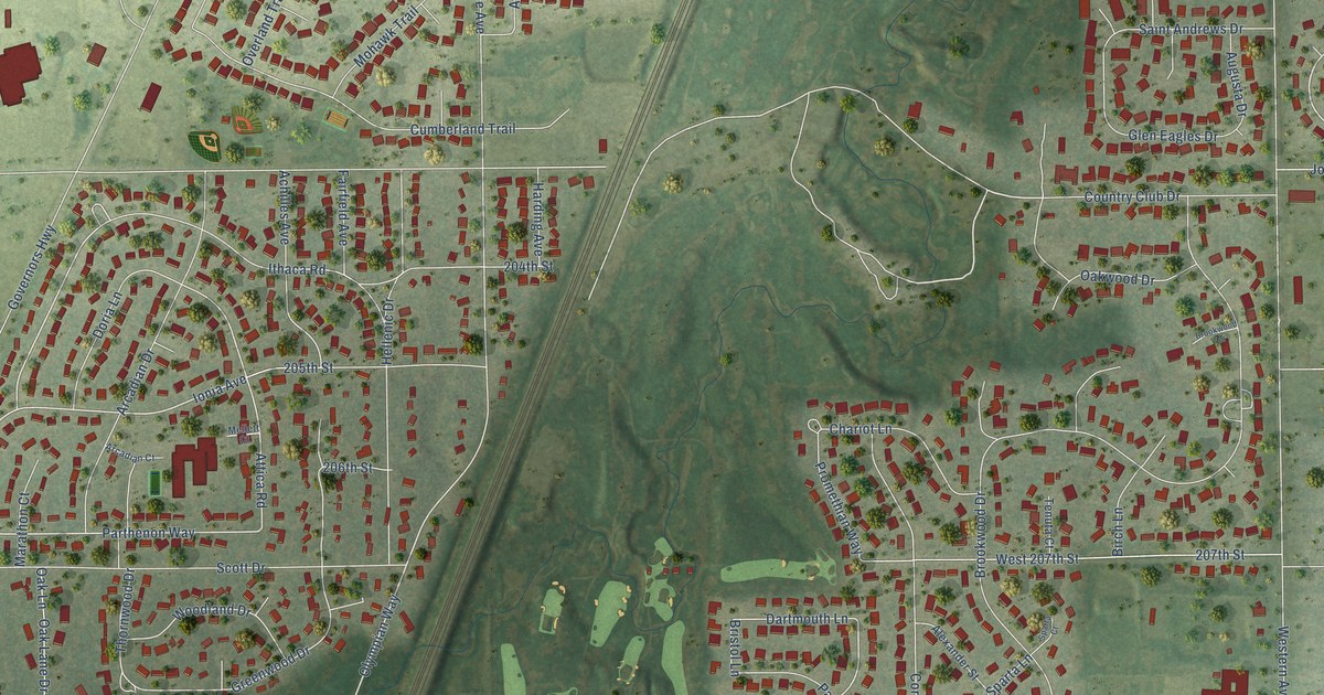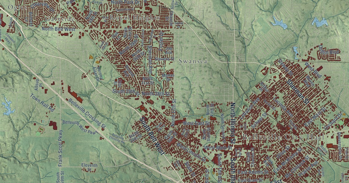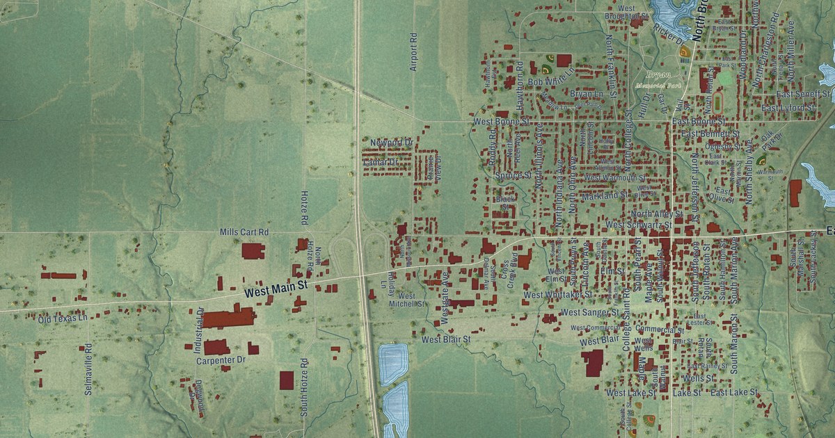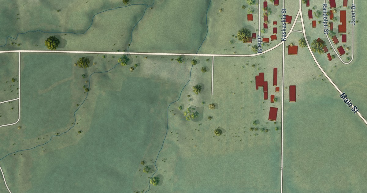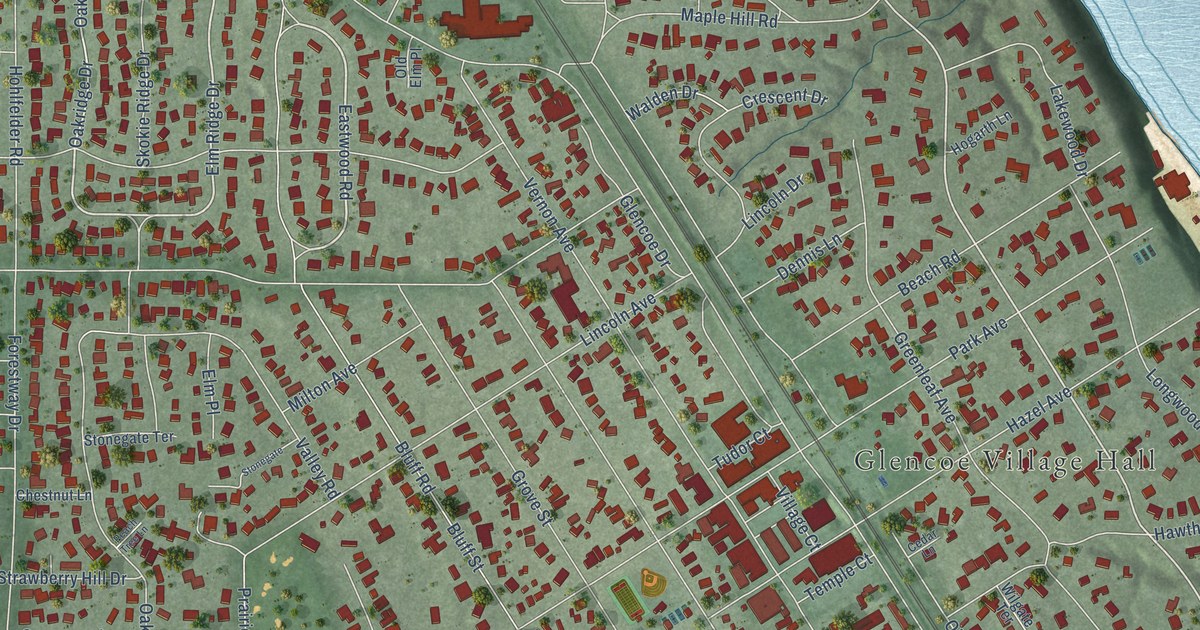
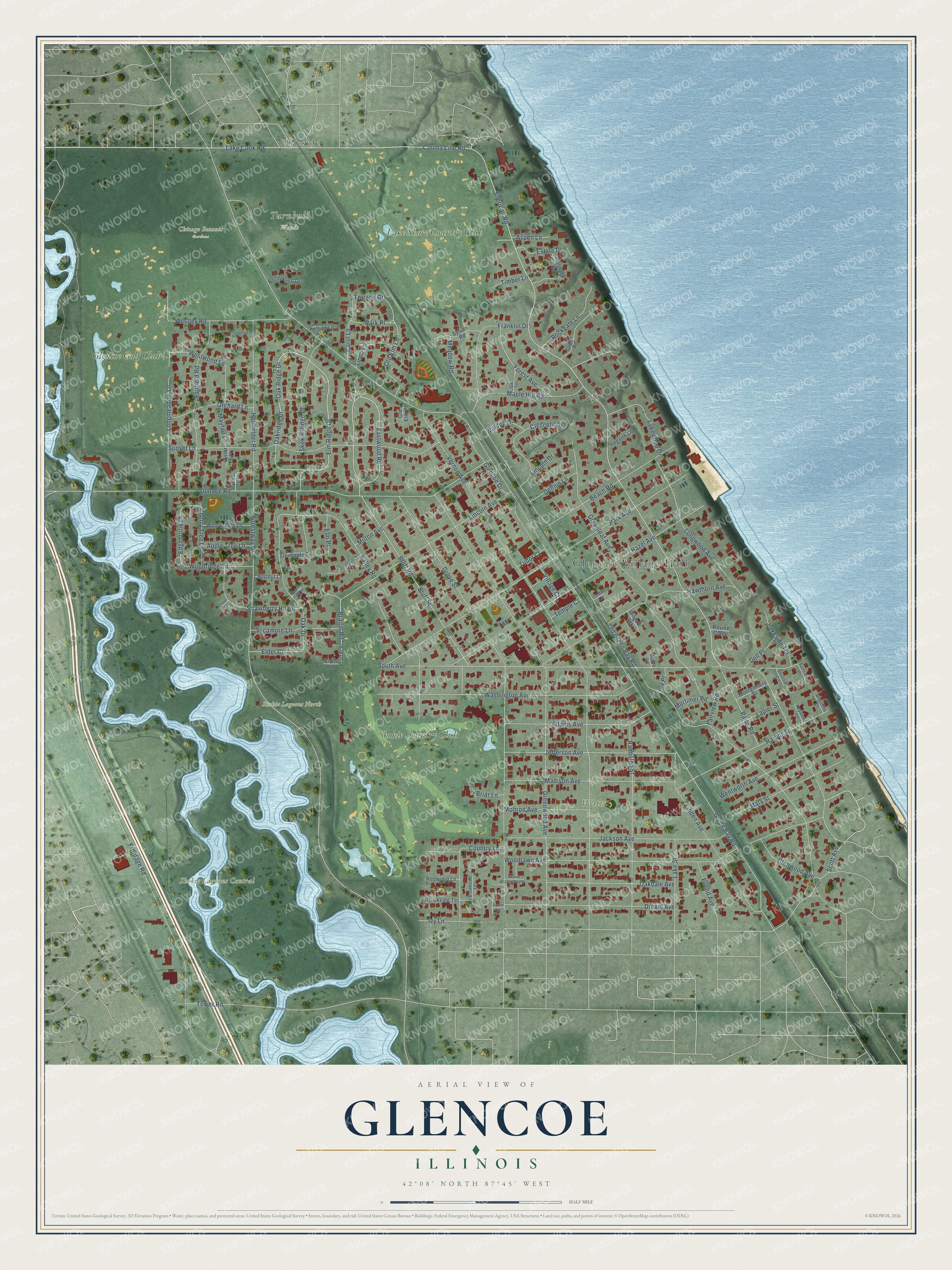
This beautifully detailed map of Glencoe, Illinois was created in 2026 using aerial imagery combined with modern topographical, census, street and landmark data. It’s a one-of-a-kind view of Glencoe that combines accurate data with a vintage aesthetic. The map shows every building in its true location, many of the roads carry their names, and the shaded topographic relief shows the shape of the land.
Explore an aerial view of Glencoe, Illinois
On the map you’ll find Glencoe Village Hall, Chicago Botanic Gardens, Skokie Lagoons Central, Skokie Lagoons North, Turnbull Woods, Watts Park, Braeside, Glencoe Golf Club, Lake Shore Country Club, and Skokie Country Club, along with Eastwood Road, Terrace Court, and more. If you look closely you can even find your house accurately drawn in its correct location. Zoom in on the preview to look for yours.
Did you know this piece of Glencoe, Illinois history?
From the National Park Service: "The village of Glencoe was first settled by Anson Taylor in 1835."
Take a closer look at the Glencoe map
Street and place names on the Glencoe, Illinois map
These names are printed on the map of Glencoe, Illinois.
Places: Glencoe Village Hall, Chicago Botanic Gardens, Skokie Lagoons Central, Skokie Lagoons North, Turnbull Woods, Watts Park, Braeside, Glencoe Golf Club, Lake Shore Country Club and Skokie Country Club.
Streets and roads: Eastwood Road, Terrace Court, Oak Ridge Drive, Elm Ridge Drive, Sheridan Road, Skokie Ridge Drive, Edgebrook Lane, Westwood Lane, Green Bay Road, Old Green Bay Road, Vernon Avenue, Greenwood Avenue.
More street names, A to Z
Adams Avenue, Apple Tree Lane, Aspen Lane, Astor Place, Beach Road, Birch Road, Bluff Road, Bluff Street, Briar Lane, Brookside Lane, Brookvale Terrace, Carol Lane, Cedar Lane, Cherry Tree Lane, Chestnut Lane, Clover Lane, Country Lane, County Line Road, Crescent Drive, Dell Place, Dennis Lane, Drexel Avenue, Drexel Lane, Dundee Road, Elder Court, Elm Place, Estate Drive, Euclid Avenue, Fairfield Road, Fairview Road, Forest Avenue, Forestway Drive, Franklin Drive, Frontage Road, Glade Road, Glencoe Drive, Glenwood Avenue, Greenleaf Avenue, Grove Street, Harbor Street, Hawthorn Avenue, Hazel Avenue, Hillcrest Road, Hogarth Lane, Hohlfelder Road, Ida Place, Ivy Lane, Jackson Avenue, Jefferson Avenue, Julia Court, Kelling Lane, Keystone Court, Lake Cook Road, Lakeside Terrace, Lake Street, Lakewood Drive, Lapier Street, Lincoln Avenue, Lincoln Drive, Linda Lane, Linden Avenue, Longmeadow Lane, Longwood Avenue, Madison Avenue, Maple Hill Road, Mary Street, Mayfair Lane, Meadow Road, Milton Avenue, Monroe Avenue, Montgomery Street, Mortimer Road, Northwood Drive, Oakdale Avenue, Oak Drive, Oakridge Drive, Oak Terrace, Old Elm Lane, Old Elm Place, Orchard Lane, Palos Road, Park Avenue, Park Place, Peach Tree Lane, Pinewood Drive, Prairie Road, Prairie Street, Randolph Street, Ravine Glade, Redwood Lane, Rockgate Lane, Scott Avenue, Shoreline Court, Skokie Lane South, South Avenue, South Lane, Stonegate, Stonegate Terrace, Strawberry Hill Drive, Sunrise Circle, Sunset Lane, Surfside Place, Sycamore Lane, Sylvan Road, Temple Court, Timber Lane, Tower Road, Tudor Court, Valley Road, Village Court, Walden Drive, Washington Avenue, Wentworth Avenue, Westley Road, Wilgate Terrace, Willow Tree Lane, Woodlawn Avenue, Woodridge Lane.
See the Glencoe, Illinois map on a wall
The Glencoe map as an 18 x 24 inch print in a black frame.

This beautifully detailed map of Glencoe makes an attractive addition to your office, library, or den, and it can even be used to teach children the geography and history of the area. It also makes a great gift for anyone who grew up in Glencoe or moved away. When you’re done exploring, click here to get your copy of the Glencoe map.