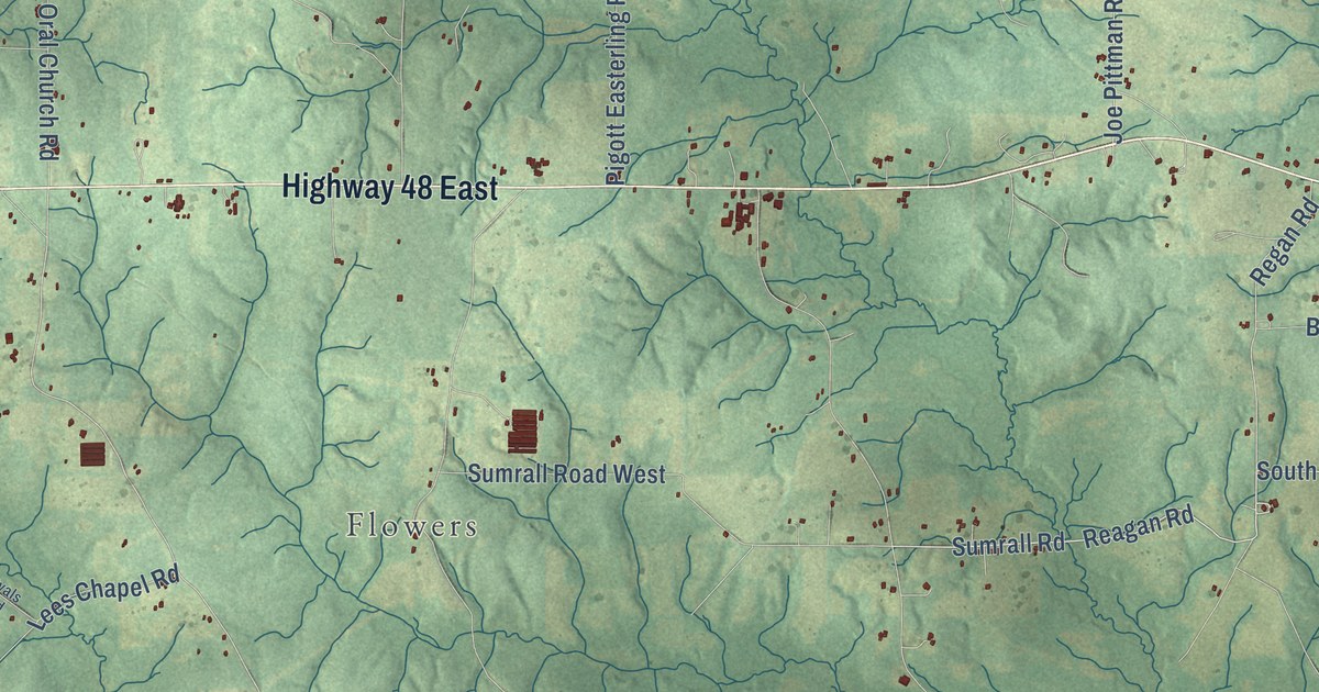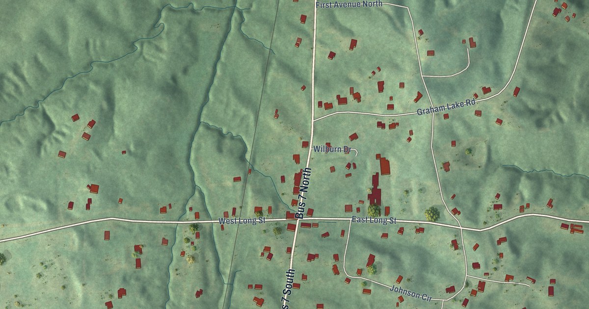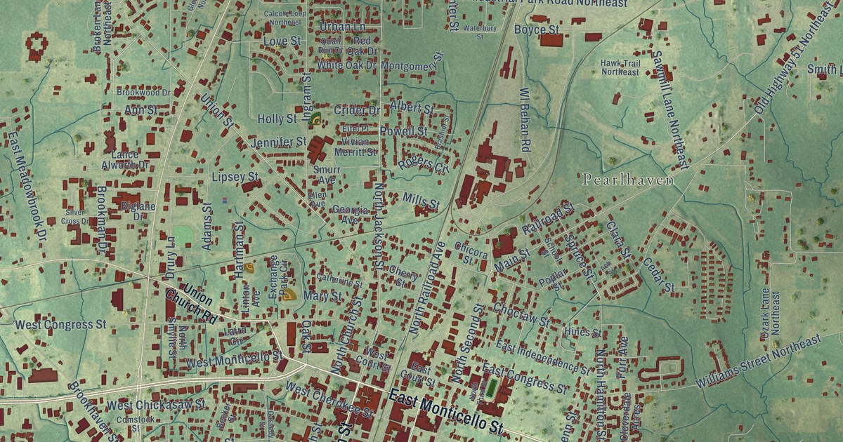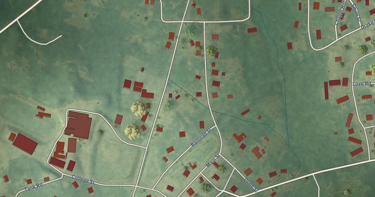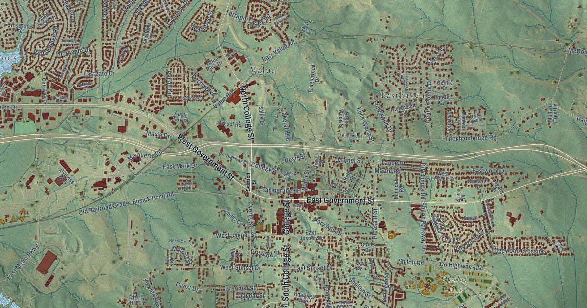
This beautifully detailed map of Brandon, Mississippi was created in 2026 using aerial imagery combined with modern topographical, census, street and landmark data. It’s a one-of-a-kind view of Brandon that combines accurate data with a vintage aesthetic. The map shows every building in its true location, many of the roads carry their names, and the shaded topographic relief shows the shape of the land.
Explore an aerial view of Brandon, Mississippi
On the map you’ll find The Commons, Terrapin Hill, Grove Park, Crossgates, Hunters Woods, Shiloh Park, Easthaven, and Value, along with East Government Street, Crossgates Boulevard, South College Street, North College Street, and more. If you look closely you can even find your house accurately drawn in its correct location. Zoom in on the preview to look for yours.
Did you know this piece of Brandon, Mississippi history?
From Dunbar Rowland’s 1907 encyclopedia of Mississippi history: "The Methodists built the first church in Brandon and were followed by the Presbyterians, then the Episcopalians, and last the Baptists."
Take a closer look at the Brandon map
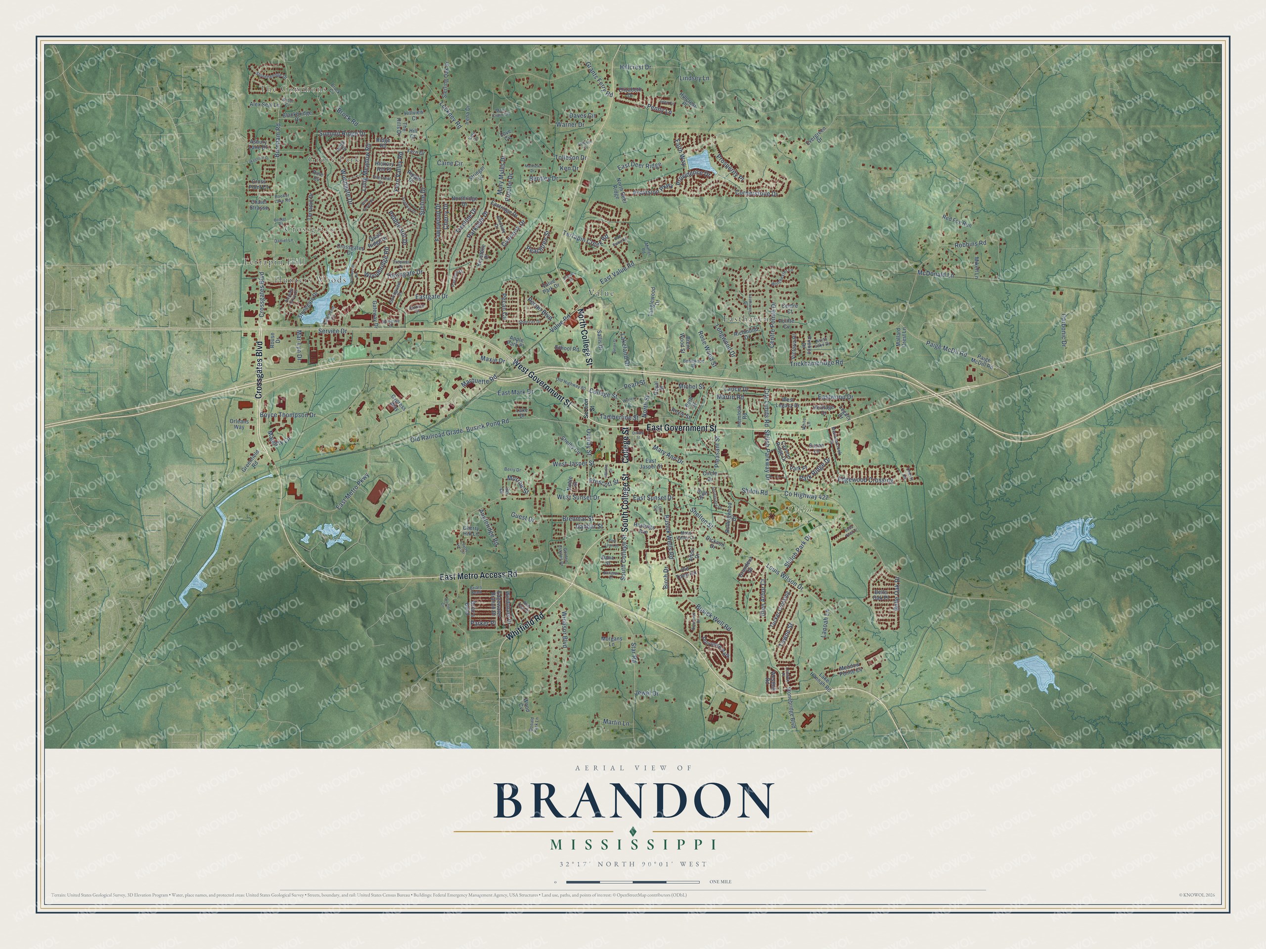
Street and place names on the Brandon, Mississippi map
These names are printed on the map of Brandon, Mississippi.
Places: The Commons, Terrapin Hill, Grove Park, Crossgates, Hunters Woods, Shiloh Park, Easthaven, Value and Provonce Park.
Streets and roads: East Government Street, Crossgates Boulevard, South College Street, North College Street, College Street, East Metro Access Road, Whitfield Road, West Government Street, Burnham Road, Busick Pond Road, Mary Ann Drive, East Metro Parkway.
More street names, A to Z
Afton Drive, Alex Seal Lane, Apple Park Place, Appleridge Road, Arbor Court, Asbury Lane Drive, Bella Vista Drive, Belle Oak Drive, Belle Oak Place, Bellewood Drive, Bentley Drive, Berry Drive, Beth Street, Birch Drive, Blackbridge Drive, Booker Lake Road, Booker Road, Boyce Thompson Drive, Brenmar Street, Brent Wood Street, Briar's Bend, Briars Bend, Brock Circle, Brock Road, Brooks Drive, Busick Well Road, Busick Wells Road, Butler Street, Caine Circle, Cannon Ridge Drive, Carbonic Drive, Centre Court, Centre Pointe Drive, Chalet Strasse, Cherry Drive, Cherry Hill Circle, Cherry Hill Lane, Cherry Lane, Circle Drive, City Limits Road, Cornerstone Drive, County Highway 427, Crossgates Drive, Cross Point Cv, Crosswoods Road, Cypress Way, Dana Street, Danbar Street, Daniel Lane, Daves Circle, Dickson Drive, Dining Street, Donald Park Lane, East Deer Ridge, Eastgate Drive, Easthaven Drive, East Jasper Street, East Mark Drive, Eastridge Drive, East Sunset Drive, East Value Road, Eastwood Drive, Edgewater Branch Drive, Edgewood Crossing, Elizabeth Drive, Ellington Court, Evergreen Drive, Faith Way, Fawnwood Drive, Fern Drive, Fern Valley Road, Firecrest Drive, Gateway Drive, Glen Arbor Court, Glenside Drive, Golden Estates Drive, Grandeur Drive, Grants Ferry Road, Greenfield Road, Guest Drive, Hastings Avenue, Hemlock Road, Heritage Drive, Hickory Hill Place, High Street, Hill Court, Hillcrest Drive, Hillcrest Place, Hillview Court, Irena Drive, Jewel Drive, Julee Circle, Ken Drive, Keystone Place, Kids Cv, Lakebend Circle, Lake Drive, Lake Hannah Road, Lakeland Drive, Lakeshore Drive, Lance Drive, Lanoah Lane, Legacy Drive, Lennox Place, Lindsey Lane, Long Meadow Road, Longwood Drive, Lori Circle, Louis Wilson Drive, Love Cv, Luckney Road, Majesty Lane, Mallard Crest Lane, Mar-Lyn Drive, Marquette Road, Martha Lane, Martin Lane, Martin Road, Mary Crain Circle, Mary Myles Drive, Matthew Drive, Maxie Drive, McDonald Lane, Meadowcreek Drive, Meadow Pointe Cv, Michel Street, Mikell Lane, Milner Road, Morgans Lane, Morrow Street, Moss Valley Circle, Noble Street, North Deer Ridge, North Lake Drive, Northridge Drive, North Street, Old Highway 80, Old Railroad Grade, Old Town Circle, Orleans Way, Orr Drive, Overby Street, Overlook Drive, Paige McDill Road, Paige McDil Road, Parker Place, Park Place, Park Ridge Drive, Parkside Drive, Pavilion Drive, Peachtree Street, Pearl Street, Pebble Hill Drive, Pecan Boulevard, Pecan Circle, Penny Lane, Pimlico Drive, Pine Cv, Pine Lawn Drive, Pleasant Grove Drive, Pleasant Street, Pointe Cv, Prescott Street, Proctor Circle, Proctor Drive, Prosperity Place, Providence Drive, Provision Parkway, Quail Ridge Drive, Rail Spike Road, Red Fox Run, Red Oak Drive, Richmond Drive, Ridge Drive, Ridge Road, Ripple Drive, Robbins Road, Rollingwood Drive, Rosemont Drive, Rose Wood Street, Rouse Drive, Roxie Street, Royal Street, Sallis Drive, Sandway Drive, School Road, Section Street, Service Drive, Shelby Circle, Shelton Street, Shiloh Park Drive, Shiloh Parkway Drive, Shiloh Road, Spencer Drive, Springridge Drive, Springtree Drive, Springview Drive, Star Road, Sterling Oak Drive, Stonebridge Boulevard, Stonegate Drive, Stonehendge Drive, Stringer Lane, Summit Ridge Drive, Sunline Drive, Susan Lane, Tamberline Street, Tanglewood Drive, Terrace Drive, Terrapin Creek Road, Terrapin Drive, The Hills Drive, Thorngate Drive, Tolleson Cv, Tolleson Drive, Towne Street, Treeline Drive, Treeway Drive, Trickhambridge Road, Tucker Crossing, Value Park Drive, Value Road, Victoria Place, Warner Drive, Westhill Road, West Jasper Street, West Legacy Drive, West Sunset Drive, White Lane, Wild Grove Place, Winchester Lane, Windchase Drive, Windsor Boulevard, Woodbridge Road, Wood Cv, Woodgate Drive, Worley Drive.
See the Brandon, Mississippi map on a wall
The Brandon map as an 18 x 24 inch print in a black frame.

This beautifully detailed map of Brandon makes an attractive addition to your office, library, or den, and it can even be used to teach children the geography and history of the area. It also makes a great gift for anyone who grew up in Brandon or moved away. When you’re done exploring, click here to get your copy of the Brandon map.