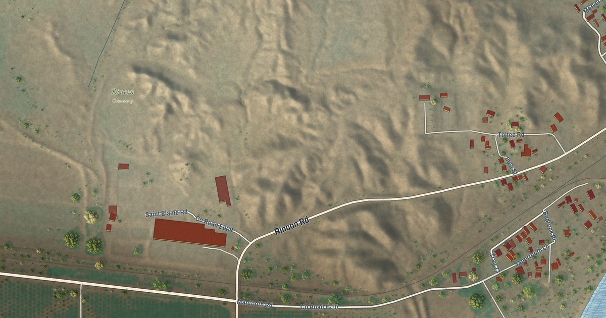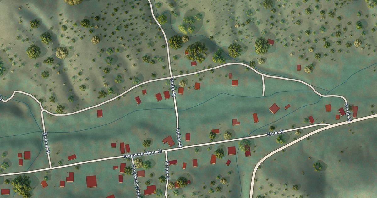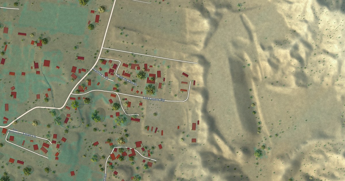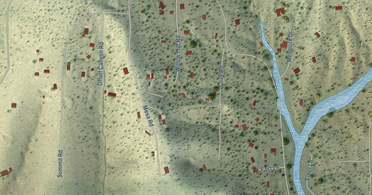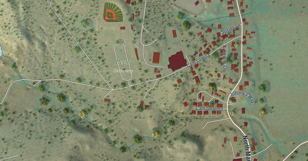
This beautifully detailed map of Pecos, New Mexico was created in 2026 using aerial imagery combined with modern topographical, census, street and landmark data. It’s a one-of-a-kind view of Pecos that combines accurate data with a vintage aesthetic. The map shows every building in its true location, many of the roads carry their names, and the shaded topographic relief shows the shape of the land.
Explore an aerial view of Pecos, New Mexico
On the map you’ll find Pecos Cemetery, Cam Rincon, Cam Monia, and Cam Lt Valencia, along with North Main Street, South Main Street, Sena Road, Houseing Authority Road, Chamisal Circle, Laquna Road, Albina Lane, Ignacio Drive, and more. If you look closely you can even find your house accurately drawn in its correct location. Zoom in on the preview to look for yours.
Did you know this about Pecos, New Mexico?
From the Village of Pecos: "Route 66 followed the corridor of the old Santa Fe Trail and the Santa Fe Railway, and passed through the villages of Tecolote, Bernal, San Jose, the railroad town of Rowe and Pecos."
Take a closer look at the Pecos map
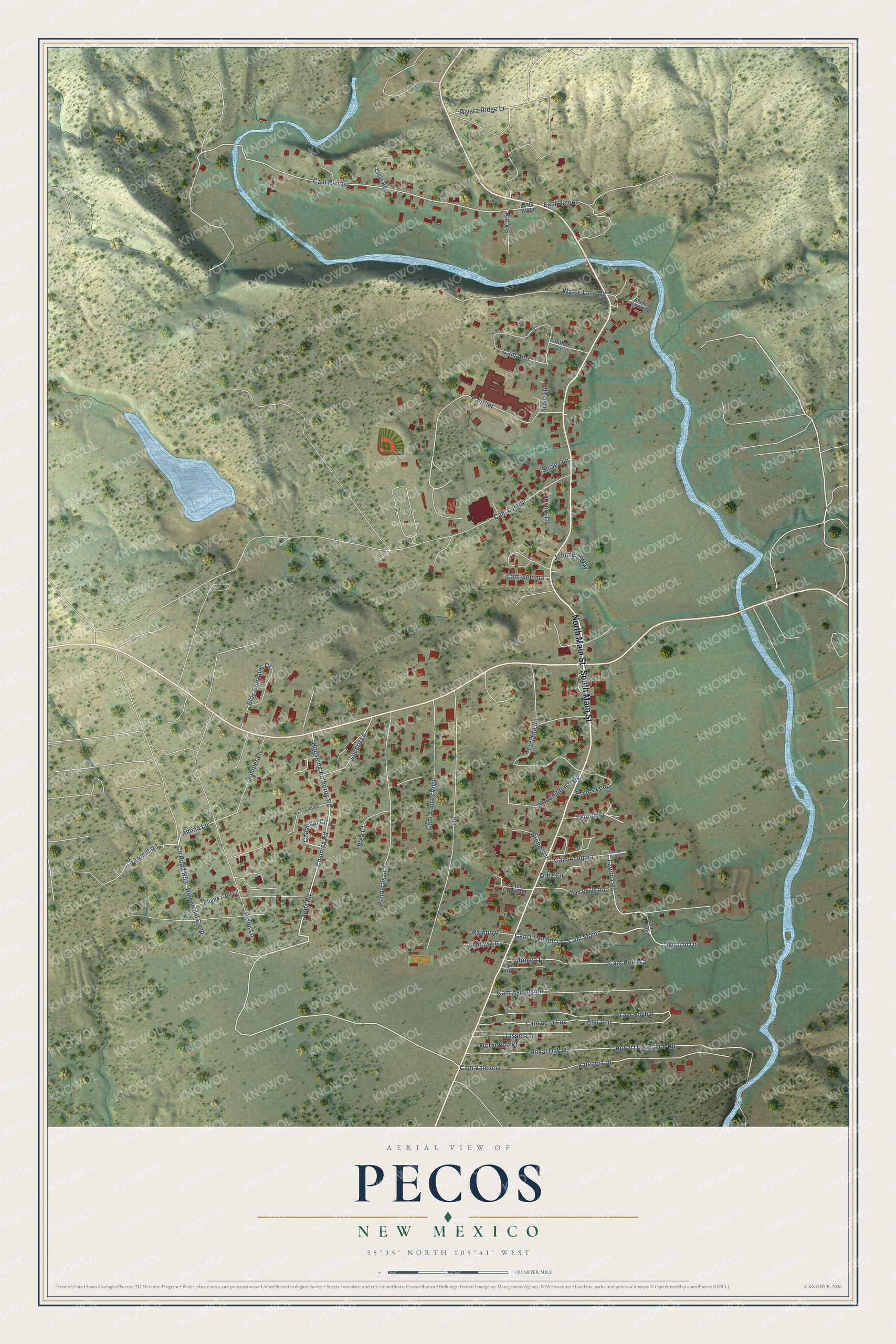
Street and place names on the Pecos, New Mexico map
These names are printed on the map of Pecos, New Mexico.
Places: Pecos Cemetery and Woodington Park.
Streets and roads: North Main Street, South Main Street, Sena Road, Houseing Authority Road, Chamisal Circle, Laquna Road, Albina Lane, Cam Rincon, Cam Monia, Cam Lt Valencia, Ignacio Drive, Lucero Lane.
More street names, A to Z
Abbie's Road, Acequia Lane, Anita Lane, Antonio Varela Road, Blea Court, Bronco Drive, Cam Acequia, Cam Alto, Cam Andres Vigil, Cam Ascension, Cam Contento, Cam de la Luz, Cam Gemma, Cam Herrera, Cam Laguna, Cam Lomita, Cam Ricon, Cam Roybal, Cam Valencia, Chamisa Road, Cielo Road, County Road B53, East Rincon, Eloy Gonzales Drive, Entrada Road, Epi Road, Escondido, Florentino Place, Fred's Loop, Jasper Lane, Jimmys Lane, Johnny's Way, Juniper Lane, Lovers Lane, Monica Lane, Ortiz Circle, Panther, Panther Circle, Pinon Lane, Pluma Azul Lane, Pondarosa Lane, Quintana, Rainbow, Rincon del Cielo, Rio Vis, Rivera Ridge Lane, Royal Oak Ranch Road, Royal Oak Road, San Pablo Road, Sawmill Road, Suzies Lane, Valencia Drive, Water Tank Road.
See the Pecos, New Mexico map on a wall
The Pecos map as an 18 x 24 inch print in a black frame.

This beautifully detailed map of Pecos makes an attractive addition to your office, library, or den, and it can even be used to teach children the geography and history of the area. It also makes a great gift for anyone with Pecos roots. When you’re done exploring, click here to get your copy of the Pecos map.