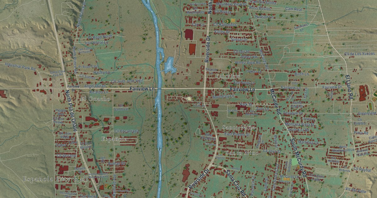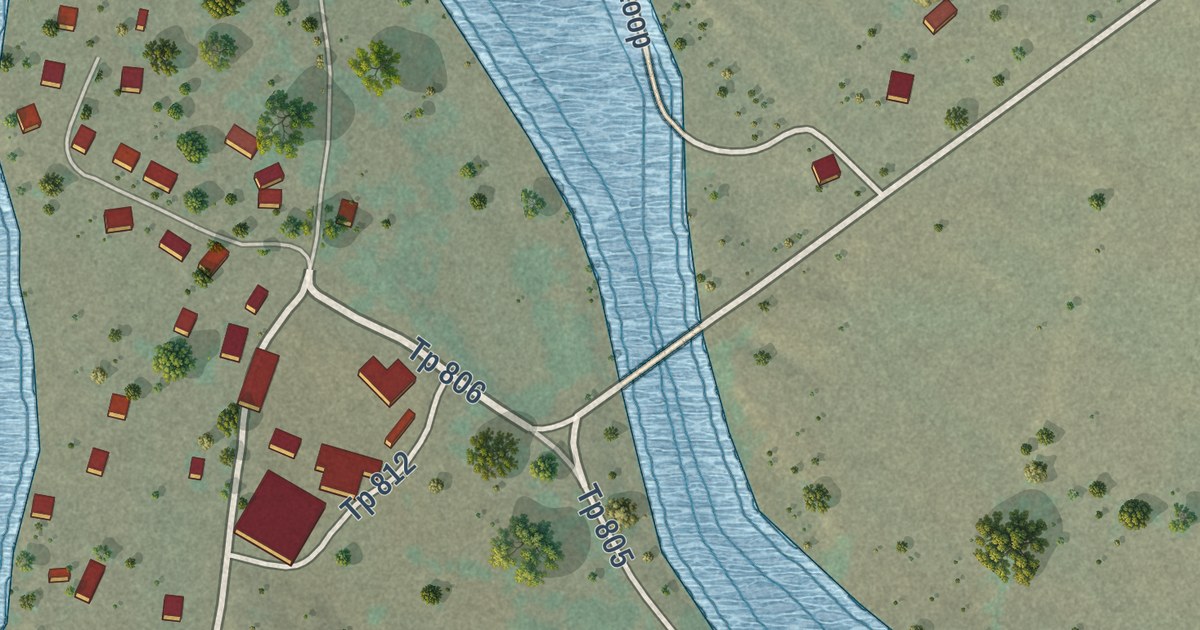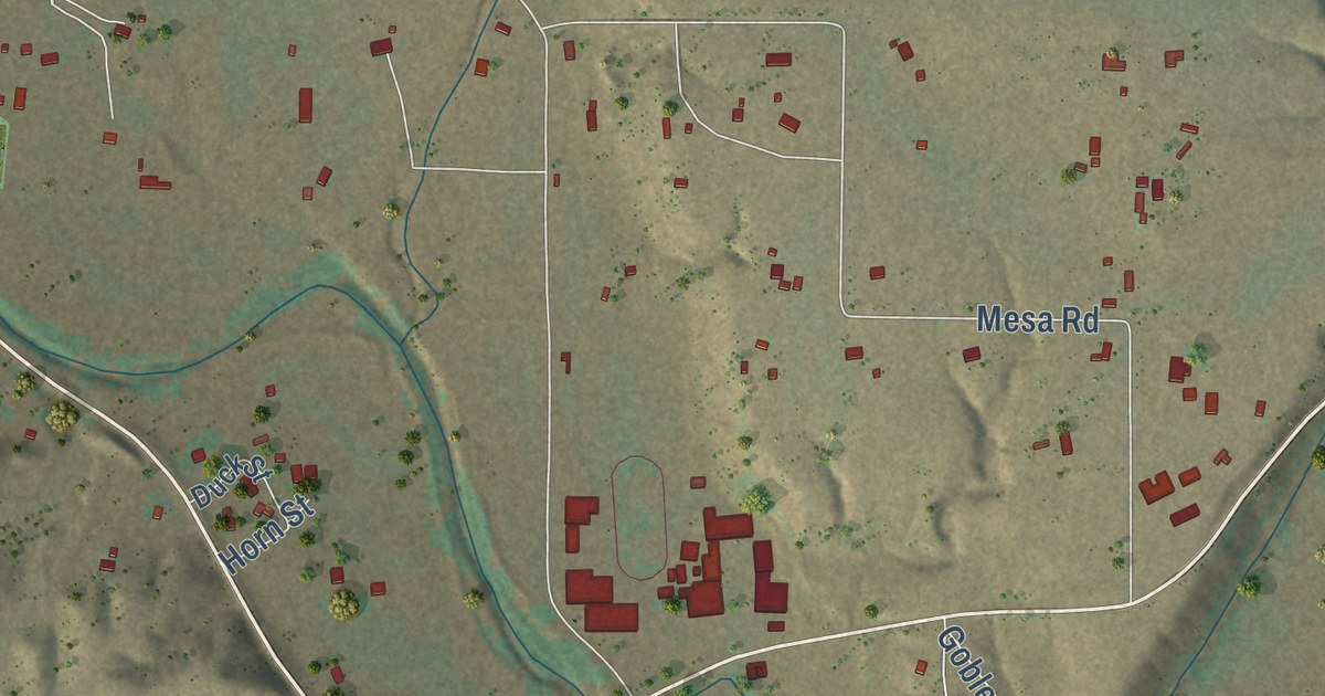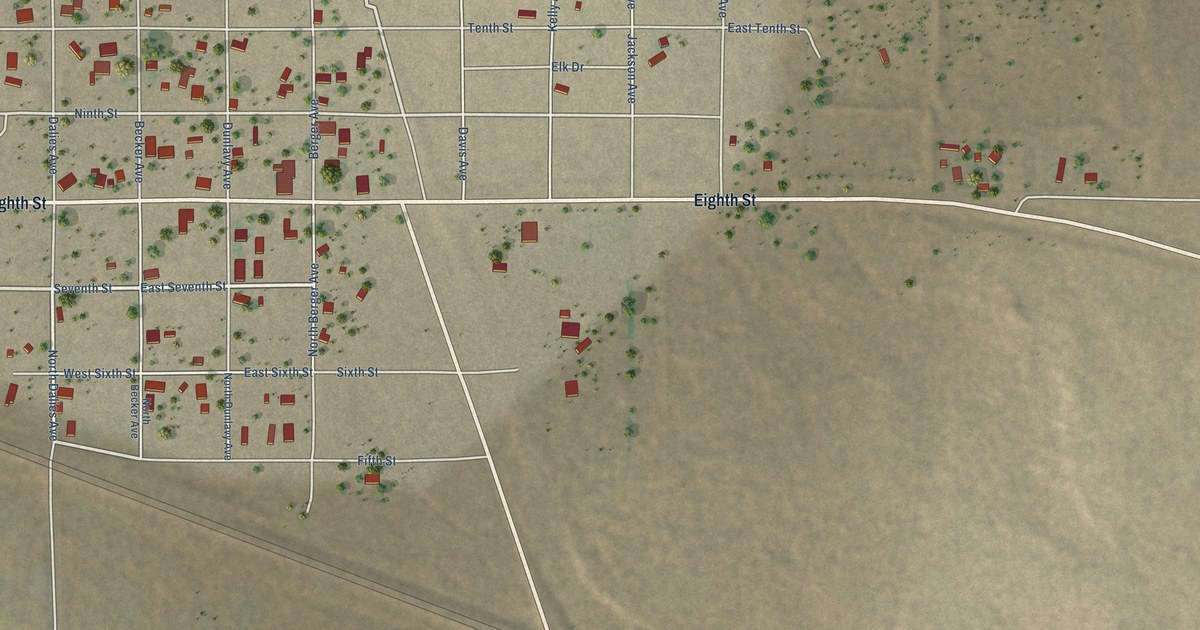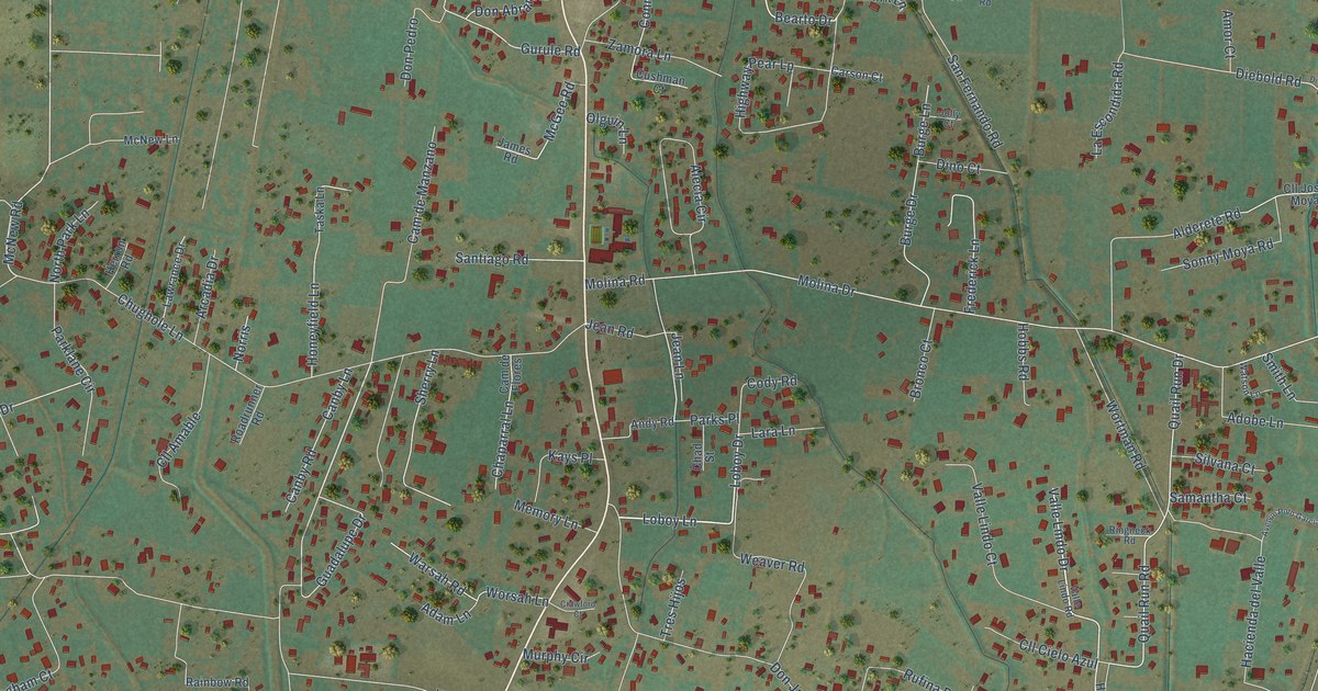
This beautifully detailed map of Peralta, New Mexico was created in 2026 using aerial imagery combined with modern topographical, census, street and landmark data. It’s a one-of-a-kind view of Peralta that combines accurate data with a vintage aesthetic. The map shows every building in its true location, many of the roads carry their names, and the shaded topographic relief shows the shape of the land.
Explore an aerial view of Peralta, New Mexico
On the map you’ll find La Ladera, along with Loboy Drive, Loboy Lane, Dumas Lane, Valle Lindo Drive, Guadalupe Drive, Bearto Drive, Gurule Road, McNew Road, Quail Run Road, La Ladera Road, Valencia Road, and more. If you look closely you can even find your house accurately drawn in its correct location. Zoom in on the preview to look for yours.
Did you know this piece of Peralta, New Mexico history?
From the Our Lady of Guadalupe Parish Peralta: "The first church in Peralta was probably a hacienda chapel at the home of the Otero family."
Take a closer look at the Peralta map
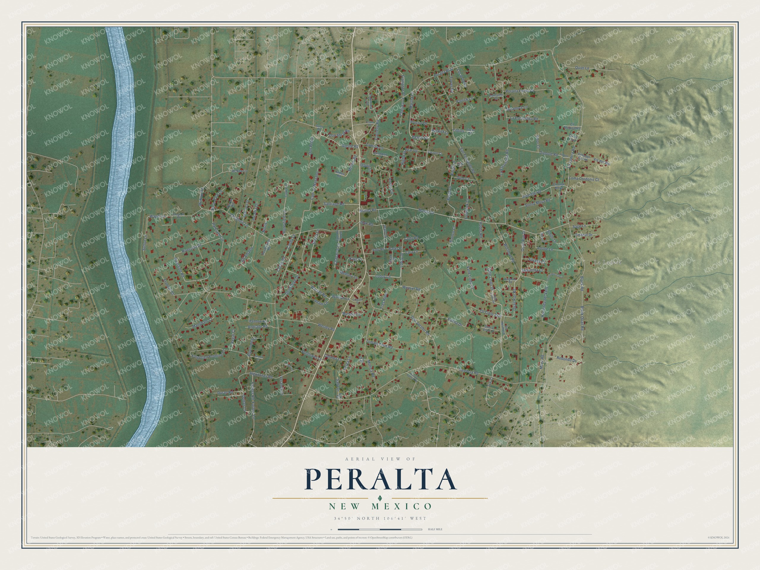
Street and place names on the Peralta, New Mexico map
These names are printed on the map of Peralta, New Mexico.
Places: La Ladera.
Streets and roads: Loboy Drive, Loboy Lane, Dumas Lane, Valle Lindo Drive, Guadalupe Drive, Bearto Drive, Gurule Road, McNew Road, Quail Run Road, La Ladera Road, Valencia Road, Peralta Boulevard.
More street names, A to Z
Adam Lane, Adobe Lane, Alderete Road, Alecia Circle, Algodones Court, Algodones Road, Amor Court, Andrade Road, Andy Road, Arcadia Drive, Avenida Valencia Road, Avenue Polo Garcia, Black Quail Road, Black Road, Bronco Court, Burge Drive, Burge Lane, Buskirk Lane, Cam de Flores, Cam de Manzano, Canby Lane, Canby Road, Carson Court, Catalpa Lane, Chad Street, Chaparral Lane, Chelsea Lane, Chughole Lane, Chughole Road, Cll Amable, Cll Cielo Azul, Cll de Cruz, Cll Jose Moya, Cll Melquades, Cll Secreta, Cody Road, Connelly Road, Consuelo Drive, Crawford Court, Cushman Court, Diebold Lane, Diebold Road, Dino Court, Don Abran Road, Don Jacobo Road, Don Pedro, Duran Road, Farless Lane, Farless Road, Forgotten Promise Lane, Frampton Place, Frederick Lane, Frontier Court, Green Road, Hacienda del Valle, Herron Road, Highway Pear Lp, Hobbs Road, Honeyfield Lane, James Road, Jasmin Lane, Jean Lane, Jean Road, Jolly Court, Kays Place, La Escandida Road, La Escondida Road, Lara Lane, La Sombra Loop, Lawrance Drive, Loma Cordoniz Court, Los Arboles, Maez Road, Mangham Court, Martha Lane, McGee Road, McNew Lane, Memory Lane, Molina Drive, Molina Road, Monica Road, Murphy Circle, Norris, North Park Lane, Olguin Lane, Parklane Circle, Parks Place, Patrick Lane, Peanut Drive, Peralta Farms Court, Peralta Road, Perea Lane, Proctor Drive, Quail Run Drive, Quiet Lane, Rainbow Road, Redondo Drive, Regar Court, Ringneck Road, Riverside Drive, Riverside Road, Roadrunner Road, Rufina Drive, Sage Lane, Sally Drive, Sally Road, Samantha Court, San Fernando Road, Santiago Road, Sherry Lane, Sierra Vista Court, Silvana Court, Sky Road, Smith Lane, Sonny Moya Road, Sunflower Lane, Sutton Lane, Sycamore Lane, Taska Lane, Tildios, Tildios Road, Tomato Farm Road, Torres Road, Tres Hijos, Tuki Court, Valle Lindo Court, Valle Lindo Road, Veranda Court, Vis del Rio, Vis Hermosa, Vista del Rio Road, Wapiti Lane, Warsah Road, Watson Lane, Weaver Road, Wesley Road, Worsah Lane, Wortman Road, Zamora Lane.
See the Peralta, New Mexico map on a wall
The Peralta map as an 18 x 24 inch print in a black frame.

This beautifully detailed map of Peralta makes an attractive addition to your office, library, or den, and it can even be used to teach children the geography and history of the area. It also makes a great gift for anyone with Peralta roots. When you’re done exploring, click here to get your copy of the Peralta map.