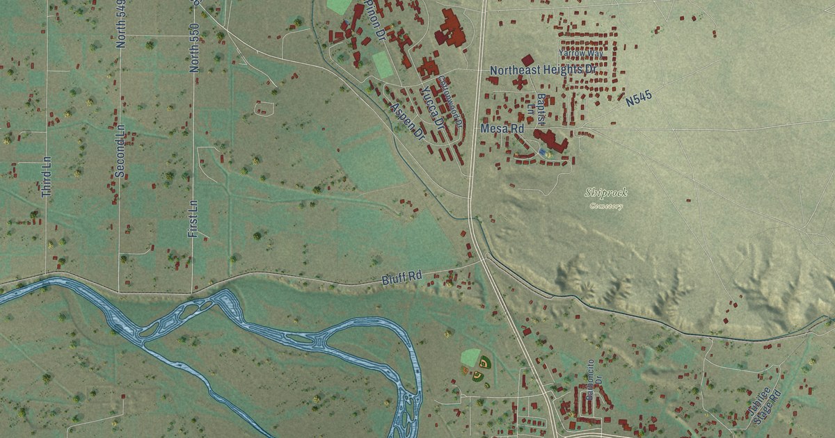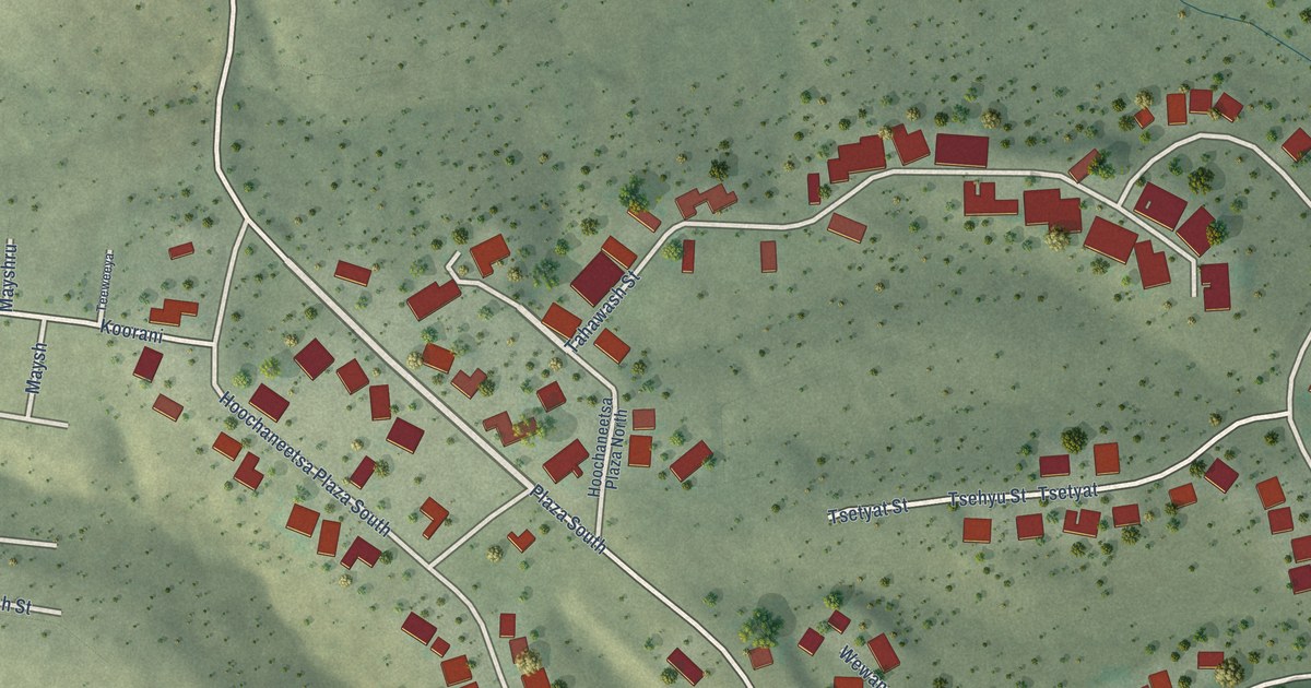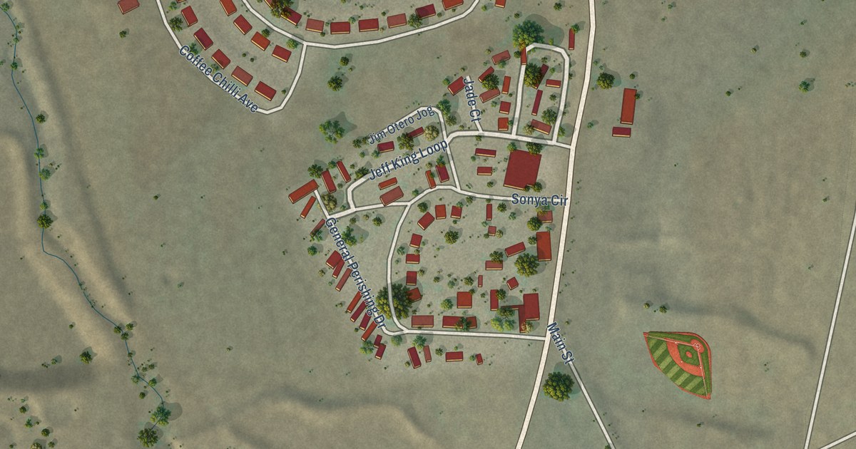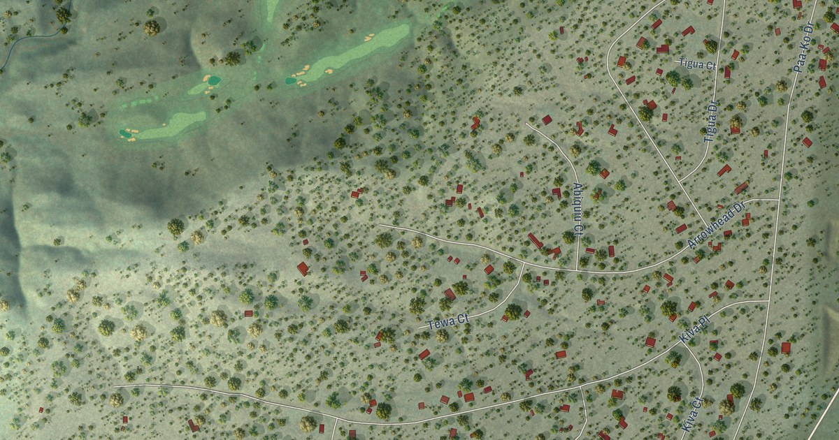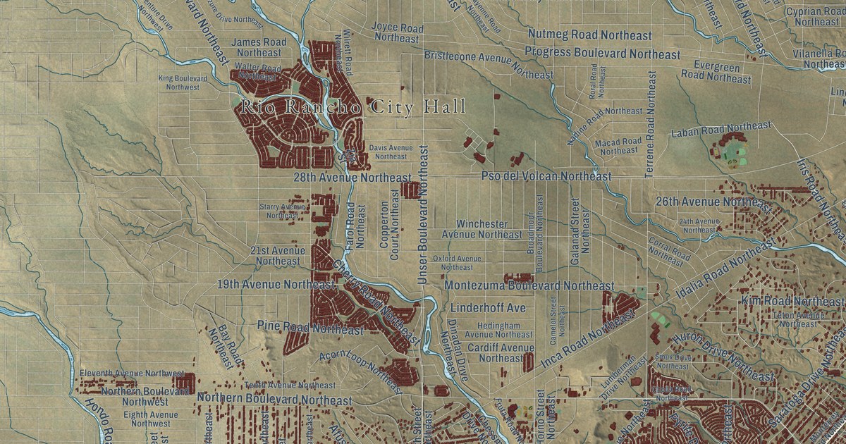
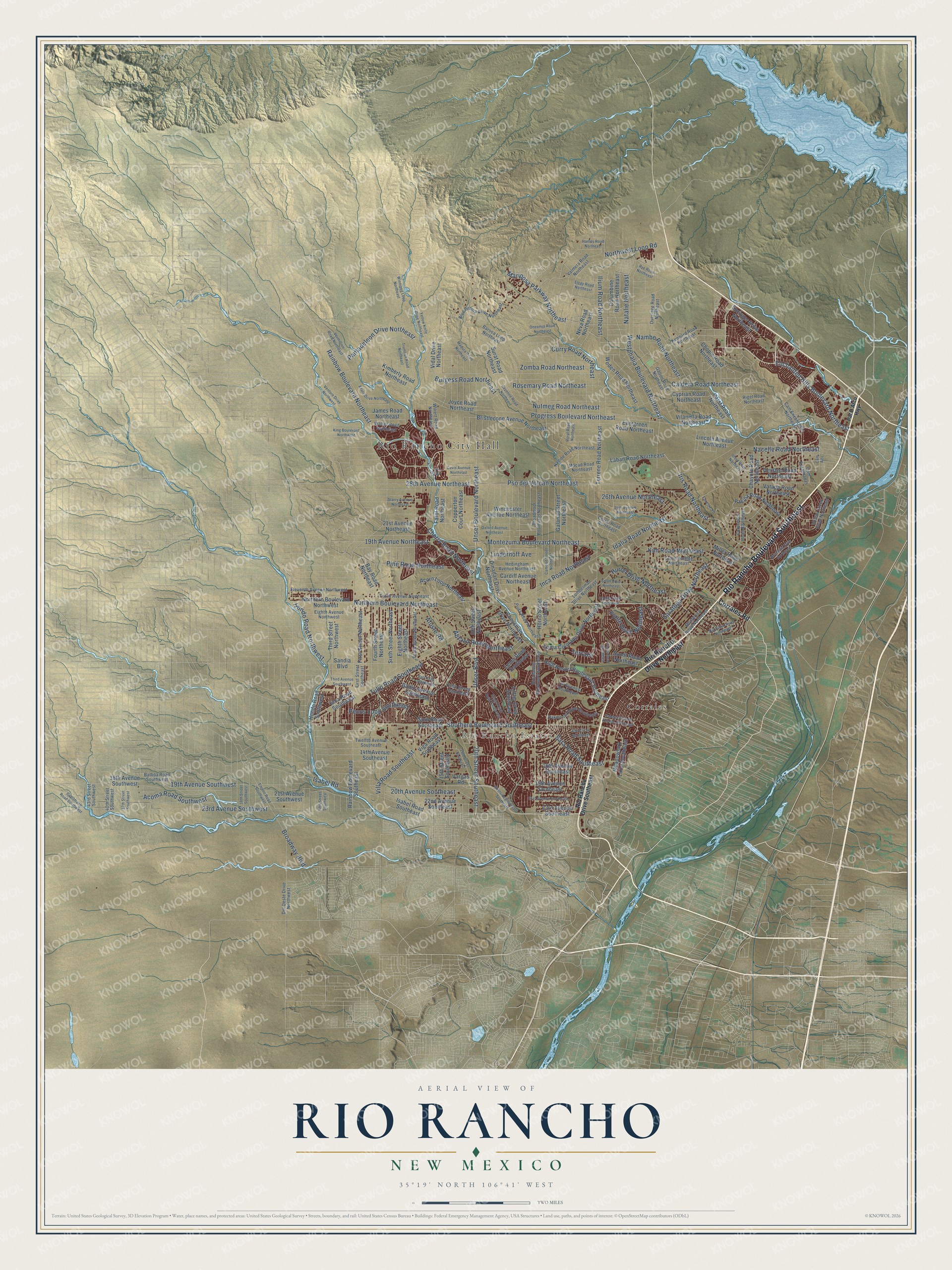
This beautifully detailed map of Rio Rancho, New Mexico was created in 2026 using aerial imagery combined with modern topographical, census, street and landmark data. It’s a one-of-a-kind view of Rio Rancho that combines accurate data with a vintage aesthetic. The map shows every building in its true location, many of the roads carry their names, and the shaded topographic relief shows the shape of the land.
Explore an aerial view of Rio Rancho, New Mexico
On the map you’ll find Rio Rancho City Hall, Rio Rancho Estates, Corrales, and Pso del Volcan Northeast, along with Rio Rancho Boulevard Southeast, Enchanted Hills Boulevard Northeast, Westphalia Boulevard Northeast, Iris Road Northeast, Unser Boulevard Northeast, Northern Boulevard Northeast, Progress Boulevard Northeast, Idalia Road Northeast, and more. If you look closely you can even find your house accurately drawn in its correct location. Zoom in on the preview to look for yours.
Did You Know?
From the Rio Rancho Public Libraries: "In the early 1960s, the AMREP Corporation purchased 55,000 acres of land on the outskirts of Albuquerque, originally called Rio Rancho Estates. This was the beginning of Rio Rancho."
Take a closer look at the Rio Rancho map
Names on this map
These names are printed on this map.
Places: Rio Rancho City Hall, Rio Rancho Estates and Corrales.
Streets and roads: Rio Rancho Boulevard Southeast, Enchanted Hills Boulevard Northeast, Westphalia Boulevard Northeast, Iris Road Northeast, Unser Boulevard Northeast, Northern Boulevard Northeast, Progress Boulevard Northeast, Idalia Road Northeast, Pso del Volcan Northeast, Rainbow Boulevard Northeast, Southern Boulevard Southeast, 28th Avenue Northeast.
More street names, A to Z
14th Avenue Southeast, 15th Street Southeast, 16th Avenue Southeast, 18th Avenue Southwest, 18th Street Southwest, 19th Avenue Northeast, 19th Avenue Southeast, 19th Avenue Southwest, 19th Street Southeast, 20th Avenue Southeast, 20th Street Northeast, 20th Street Southeast, 21st Avenue Northeast, 21st Avenue Southeast, 21st Avenue Southwest, 22nd Avenue Southeast, 23rd Avenue Southeast, 23rd Avenue Southwest, 24th Avenue Northeast, 26th Avenue Northeast, 37th Street Southwest, 40th Street Southwest, 43rd Street Southwest, Abrazo Road Northeast, Acoma Road Southwest, Acorn Loop Northeast, Afuste Road, Ann Circle Southeast, Azure Drive Northeast, Balboa Road Southwest, Bali Road Southeast, Baltic Avenue Southeast, Barooa Loop Northeast, Bay Road Northeast, Blue Grama Drive Northeast, Bristlecone Avenue Northeast, Broadmoor Boulevard Northeast, Broadmoor Boulevard Southeast, Broadway Boulevard, Burgess Road Northeast, Caldera Road Northeast, Cam Alto, Camelot Street Northeast, Cam Encantadas, Cam Encantadas Northeast, Capistrano Road Southwest, Cardiff Avenue Northeast, Cayenne Road Northeast, Chayote Road Northeast, Cherry Road Northeast, Chessman Drive Northeast, Cholla Road Northeast, Chopin Road Northeast, Cll Suenos Southeast, Columbine Road Northeast, Contreras Road Northeast, Copperton Court Northeast, Corrales Road, Corral Road Northeast, Curry Road Northeast, Cyprian Road Northeast, Davis Avenue Northeast, Del Oeste Drive Northwest, Dinadan Drive Northeast, Eighth Avenue Northwest, Eighth Street Northeast, Elegy Road Northeast, Eleventh Avenue Northwest, Encino Road Southwest, Epazote Road, Evergreen Road Northeast, Farol Road Northeast, Fifth Street Southeast, Fifth Street Southwest, First Street Northeast, First Street Southeast, Fourth Street Northeast, Fruta Road Northeast, Galanad Street Northeast, Galton Road Northeast, Hanley Road Northeast, Hedingham Avenue Northeast, High Resort Boulevard Southeast, Hondo Road Northwest, Hondo Road Southwest, Horno Street Northeast, Huron Drive Northeast, Ilford Road Northeast, Ilium Road Northeast, Inca Road Northeast, Inca Road Southwest, Isabel Road, Isabel Road Southeast, James Road Northeast, Joyce Road Northeast, Karst Road Northeast, Kennard Road Northeast, Kimberly Road Northeast, Kim Road Northeast, King Boulevard Northwest, Laban Road Northeast, Lema Road Southeast, Lincoln Avenue Northeast, Linderhoff Avenue, Littler Drive Southeast, Loma Colorado Drive Northeast, Lumberman Drive Northeast, Macad Road Northeast, Madura Road Northeast, Mariposa Parkway Northeast, Meadowlark Lane Southeast, Miller Road Northeast, Monterrey Road Northeast, Montezuma Boulevard Northeast, Nacelle Road Northeast, Nadine Road Northeast, Nambe Road Northeast, Natalie Northeast, Neva Road Northeast, Northern Boulevard Northwest, Northwest Loop Road, Nutmeg Road Northeast, Oakmount Drive Southeast, Oersted Road Northeast, Oneonya Road Northeast, Overidge Road Northeast, Oxford Avenue Northeast, Pantadeleon Drive Northeast, Pasilla Road Northeast, Pat D'Arco Highway, Pecos Loop Southeast, Pine Road Northeast, Pyrite Drive Northeast, Rainbow Boulevard Southeast, Rigel Road Northeast, Rio Rancho Drive Northeast, Rio Rancho Drive Southeast, Rio Vista Drive Northeast, Riverside Drive Northeast, Roral Road Northeast, Rosemary Road Northeast, Rye Road Northeast, Sabana Grande Avenue Southeast, Sandia Boulevard, Sara Road Southeast, Saratoga Drive Northeast, Sioux Drive Northeast, Sixth Street Northeast, Springer Drive Northeast, Spur Road Southeast, Stagecoach Road Southeast, Starry Avenue Northeast, Sundt Road Northeast, Surat Road Northeast, Tenth Avenue Northeast, Tenth Street Northeast, Terraza, Terrene Road Northeast, Teton Avenue Northeast, Third Avenue Southwest, Third Street Northwest, Tigris Road Northeast, Trumbull Road Northeast, Tulip Road Southeast, Twelfth Avenue Southeast, Unser Boulevard, Valmera Road Northeast, Vargas Road, Vatapa Road Northeast, Venture Drive Northwest, Vermillion Road Northeast, Vidal Drive Northeast, Viga Road Southeast, Vilanella Road Northeast, Villa Road Southeast, Walter Road Northeast, Westside Boulevard Southeast, Willow Creek Road Northeast, Wilrett Road Northeast, Winchester Avenue Northeast, Winnipeg Loop Northeast, Woden Road Northeast, Yellow Knife Drive Northeast, Zia Street, Zomba Road Northeast.
See it on a wall
The Rio Rancho map as a framed print. Swipe for more.


This beautifully detailed map of Rio Rancho makes an attractive addition to your office, library, or den, and it can even be used to teach children the geography and history of the area. It also makes a great gift for anyone with Rio Rancho roots. When you’re done exploring, click here to get your copy of the Rio Rancho map.