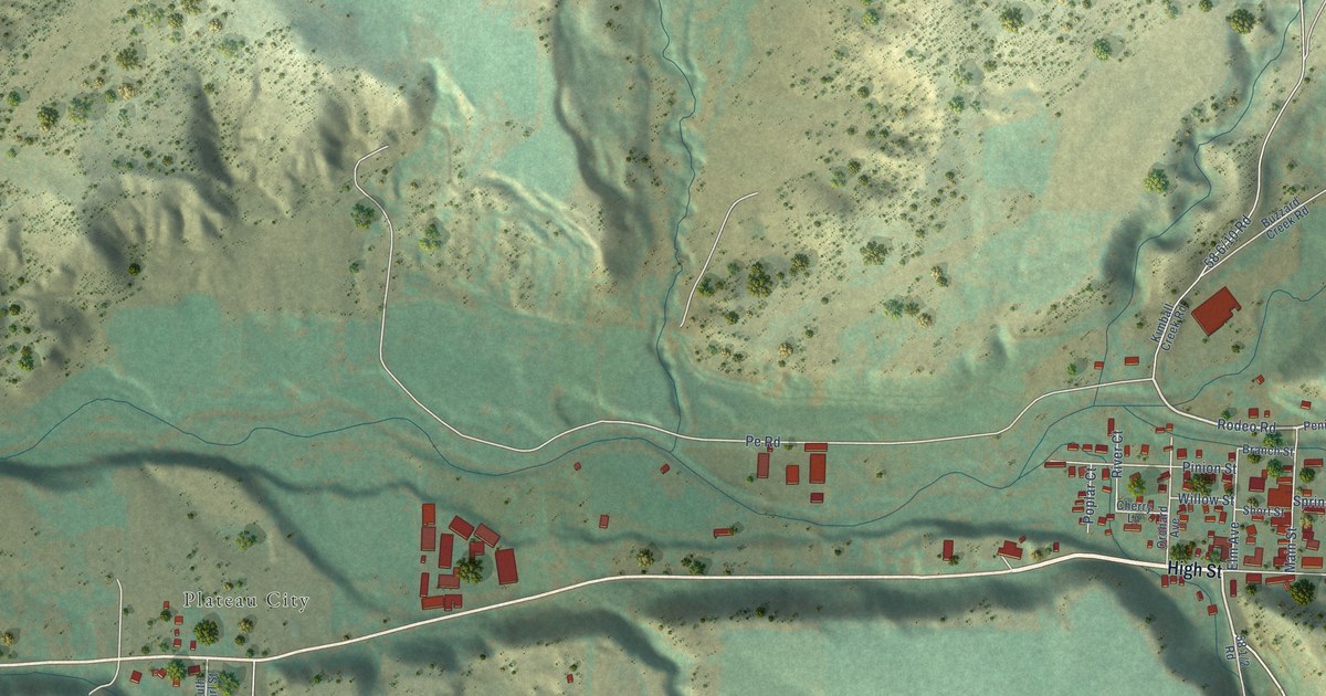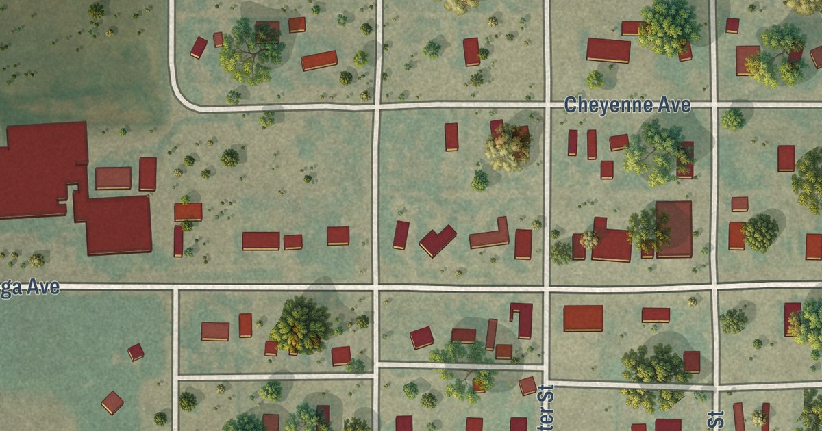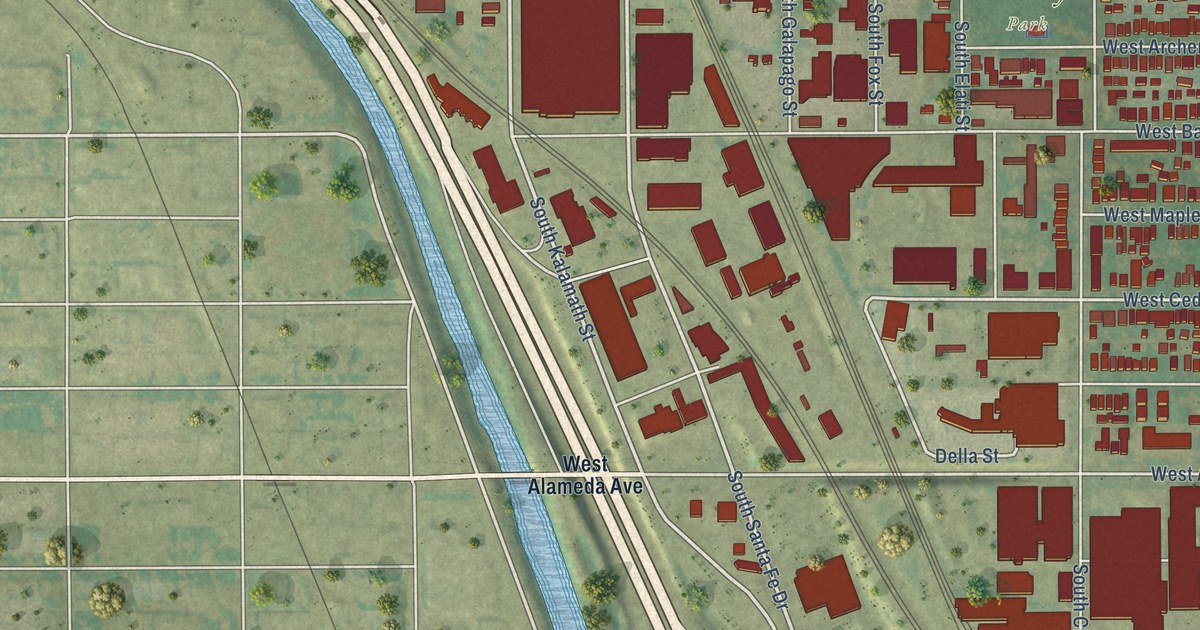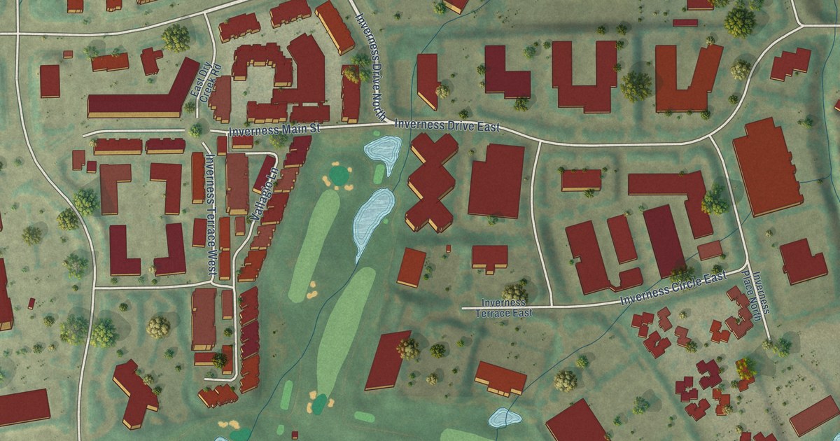
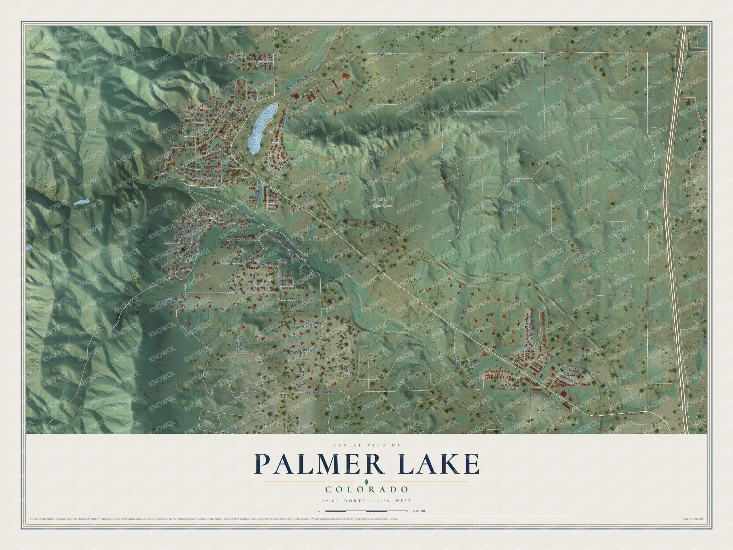
This beautifully detailed map of Palmer Lake, Colorado was created in 2026 using aerial imagery combined with modern topographical, census, street and landmark data. It’s a one-of-a-kind view of Palmer Lake that combines accurate data with a vintage aesthetic. The map shows every building in its true location, many of the roads carry their names, and the shaded topographic relief shows the shape of the land.
Explore an aerial view of Palmer Lake, Colorado
On the map you’ll find Glen Park, Pine Crest, and Santa Fe Open Space, along with Walnut Avenue, Greeley Boulevard, Trinidad Lane, Viola Street, Brook Street, Sun Ridge Circle, Highland Road, Virginia Avenue, Buena Vista Avenue, and more. If you look closely you can even find your house accurately drawn in its correct location. Zoom in on the preview to look for yours.
Did you know this piece of Palmer Lake, Colorado history?
From the Colorado Encyclopedia: "In 1935 Mountain Utilities regional manager B. E. Jack proposed the construction of a large, glowing monument in the form of a star to demonstrate the resolve, determination, and pride of the citizens of Palmer Lake."
Take a closer look at the Palmer Lake map
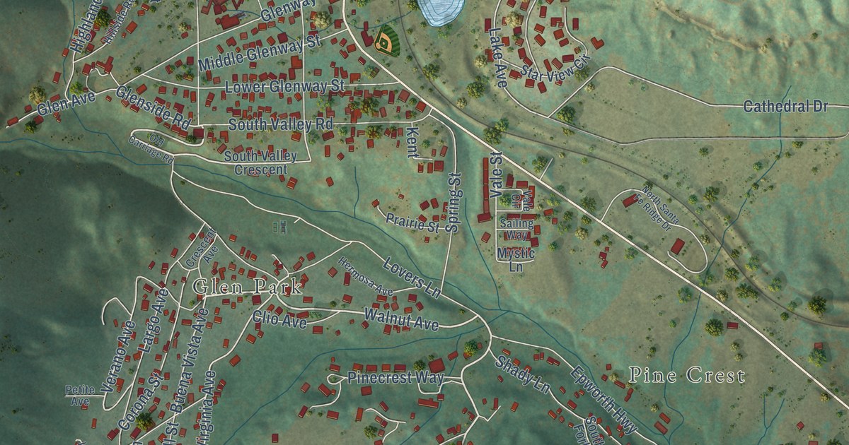
Street and place names on the Palmer Lake, Colorado map
These names are printed on the map of Palmer Lake, Colorado.
Places: Glen Park, Pine Crest and Santa Fe Open Space.
Streets and roads: Walnut Avenue, Greeley Boulevard, Trinidad Lane, Viola Street, Brook Street, Sun Ridge Circle, Highland Road, Virginia Avenue, Buena Vista Avenue, Glenside Road, Upper Glenway, Verano Avenue.
More street names, A to Z
Abbey Street, Aurelia Avenue, Cathedral Drive, Circle Road, Clio Avenue, Cloven Hoof Road, Columbine Road, Corona Street, County Line Road, Crescent Avenue, Dixie Street, Douglas Avenue, Durango Way, El Paso Road, Epworth Highway, Forest View Circle, Forest View Court, Forest View Road, Forest View Way, Ft Collins Drive, Gillia Street, Glen Avenue, Glenway Street, Grant Street, Hermosa Avenue, High Street, Hillside Road, Hilltop Road, Hoover Lane, Illumination Point, Inca Circle, Kent, Lake Avenue, Largo Avenue, Lovers Lane, Lower Glenway Street, Meadow Lane, Middle Glenway Street, Milton Street, Mystic Lane, North Santa Fe Ridge Drive, Oakdale Drive, Old Carriage Road, Page Street, Park Street, Peakview Boulevard, Petite Avenue, Pie Corner, Pinecrest Way, Pineview Street, Platt Lane, Prairie Street, Red Rock Ranch Drive, Red Rock Ranch Road, Redstone Ridge Road, Rockridge Road, Rocky Ford Drive, Roosevelt Street, Sailing Way, Second Street, Shady Lane, South Circle Drive, South Fork, South Valley Crescent, South Valley Road, Spring Street, Spruce Mountain Road, Star View Circle, Sterling Avenue, Suncrest Road, Third Street, Upper Glenway Street, Vale Circle, Vale Street, Verano, Wall Street, Westward Lane, Wheatridge Street.
See the Palmer Lake, Colorado map on a wall
The Palmer Lake map as an 18 x 24 inch print in a black frame.

This beautifully detailed map of Palmer Lake makes an attractive addition to your office, library, or den, and it can even be used to teach children the geography and history of the area. It also makes a great gift for anyone who grew up in Palmer Lake or moved away. When you’re done exploring, click here to get your copy of the Palmer Lake map.