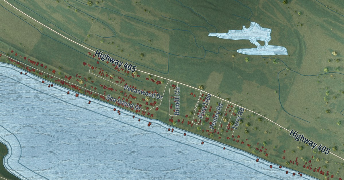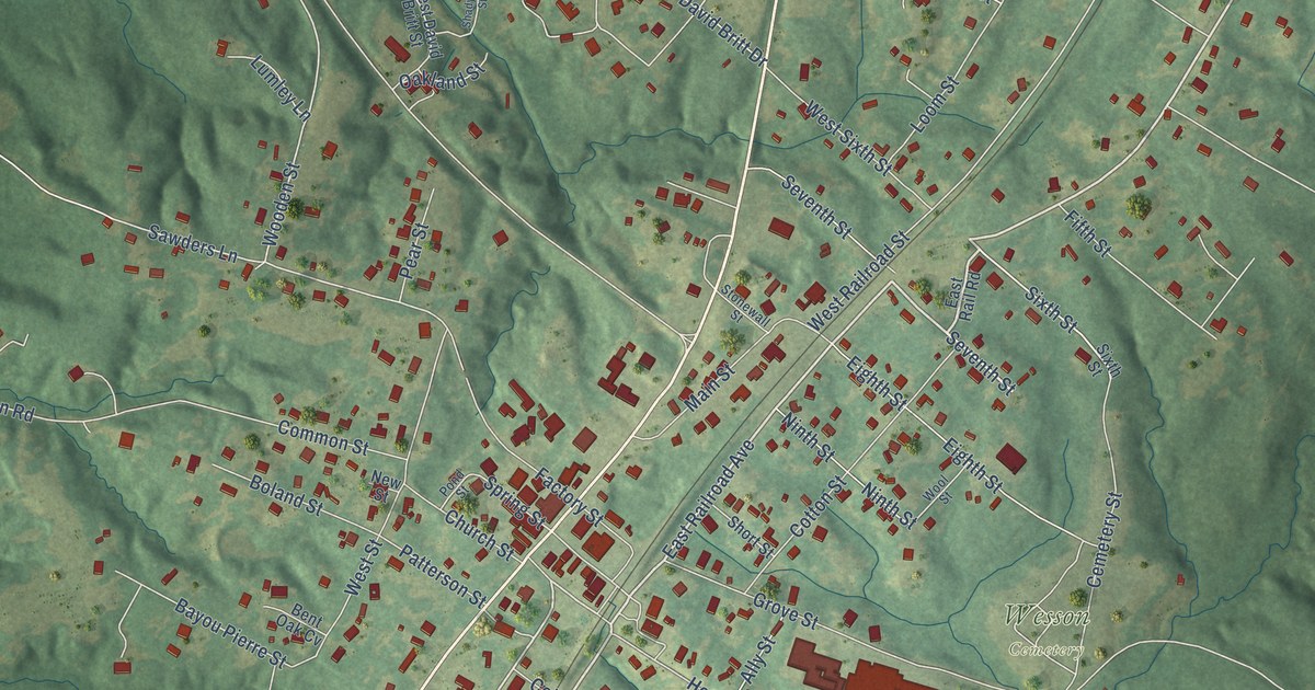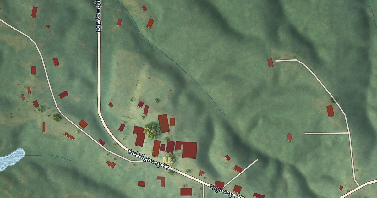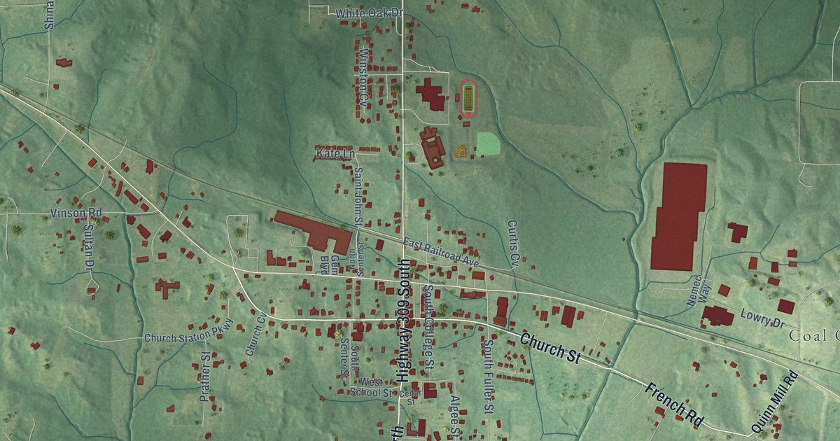
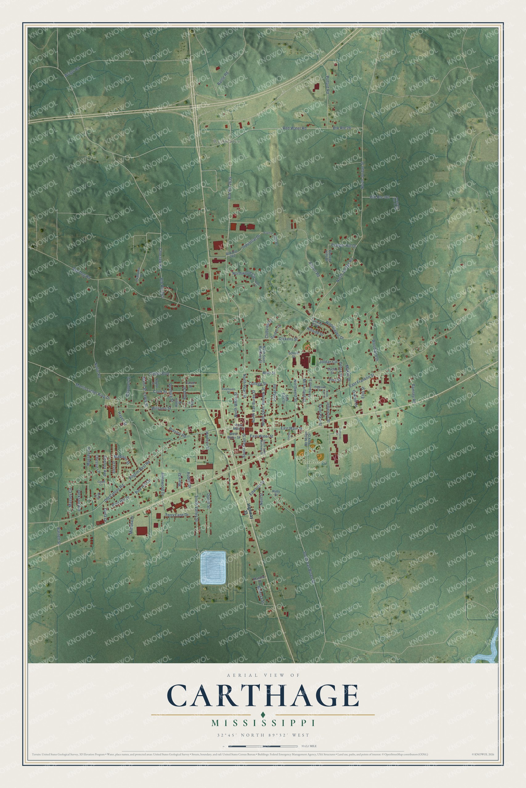
This beautifully detailed map of Carthage, Mississippi was created in 2026 using aerial imagery combined with modern topographical, census, street and landmark data. It’s a one-of-a-kind view of Carthage that combines accurate data with a vintage aesthetic. The map shows every building in its true location, many of the roads carry their names, and the shaded topographic relief shows the shape of the land.
Explore an aerial view of Carthage, Mississippi
On the map you’ll find McMillian Park and Redwater, along with North Pearl Street, Mann Street, South Van Buren Street, Jordan Road, East Main Street, North White Street, Lewis Street, North Jordan Street, East Franklin Street, North Jordan Road, and more. If you look closely you can even find your house accurately drawn in its correct location. Zoom in on the preview to look for yours.
Did you know this piece of Carthage, Mississippi history?
From Dunbar Rowland’s 1907 encyclopedia of Mississippi history: "Carthage, the capital of Leake county, is located at the geographical center of the county on the Pearl river, 33 miles northeast of Canton, and 50 miles northeast of Jackson. It is an incorporated post-town, and when first selected as the county seat in 1834, was known as Leakville."
Take a closer look at the Carthage map
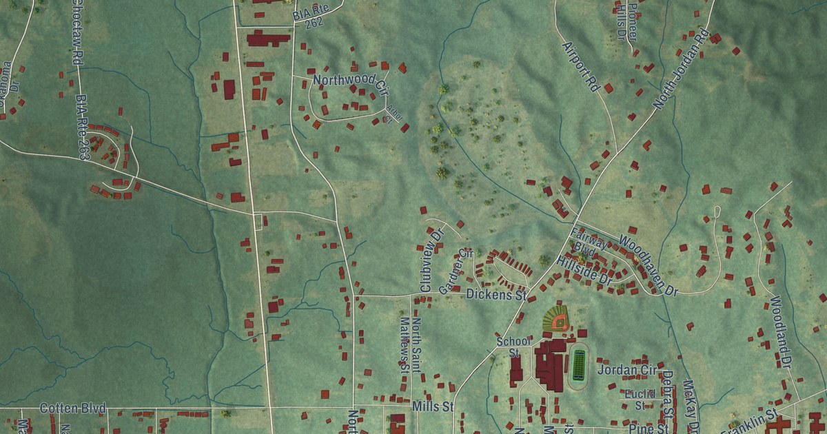
Street and place names on the Carthage, Mississippi map
These names are printed on the map of Carthage, Mississippi.
Places: McMillian Park and Redwater.
Streets and roads: North Pearl Street, Mann Street, BIA Route 2635, South Van Buren Street, Jordan Road, East Main Street, North White Street, Lewis Street, North Jordan Street, East Franklin Street, North Jordan Road, Red Water Road.
More street names, A to Z
Airport Road, Alena Drive, Allenwood Drive, Arbor Court, Barnett Street, Battle Road, BIA Route 26, BIA Route 261, BIA Route 262, BIA Route 263, Blanche Street, Boyd Street, Caleb Cv, Carver Street, Chappell Street, Chenoa Avenue, Chessie Lane, Choctaw Road, Clubview Drive, Cobrocks Street, College Street, Cook Street, Cotten Boulevard, Debra Street, Dickens Street, Dona Drive, Dorrill Street, East Water Street, Edwards Street, Ellis Street, Euclid Street, Eugene Tubby Road, Fairway Boulevard, Fernwood Street, Gardner Circle, Graham Street, Hayes Street, Highland Street, Highway 35, Hillside Drive, Industrial Drive, Jackson Avenue, Jefferson Street, Jordan Circle, Madison Street, Martin Luther King Drive, Massey Circle, Massey Cv, Mayberry Street, McFarland Street, McKay Drive, Mc Millan Park Drive, Mills Street, Mimosa Drive, Minerva Street, Naylor Street, Neill Street, Nollie Road, North East Street, North Saint Mathews Street, North Saint Mathew Street, North Van Buren Street, Northwest Street, Northwood Circle, Oakhill Drive, Okahoma Drive, Old Canton Road, Pilgrim Rest Road, Pinehaven Drive, Pine Hill Circle, Pine Hill Drive, Pine Street, Pioneer Hill Drive, Pioneer Hills Drive, Pollard Road, Presley Road, Ramsey Road, Red Dog Road, Redwater Sec 31 Road, Robert Drive, Robin Street, Ruby Street, Rushing Street, Saint Paul Street, Sam Ellis Street, School Street, South Pearl Street, South Saint Mathews Street, South Valley Street, Terry Lane Drive, Triplett Street, Ware Street, West Main Street, West Water Street, Wiley Drive, Williams Street, Woodhaven Drive, Woodland Drive, Wright Road.
See the Carthage, Mississippi map on a wall
The Carthage map as an 18 x 24 inch print in a black frame.

This beautifully detailed map of Carthage makes an attractive addition to your office, library, or den, and it can even be used to teach children the geography and history of the area. It also makes a great gift for anyone who grew up in Carthage or moved away. When you’re done exploring, click here to get your copy of the Carthage map.