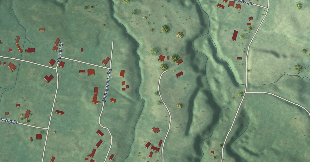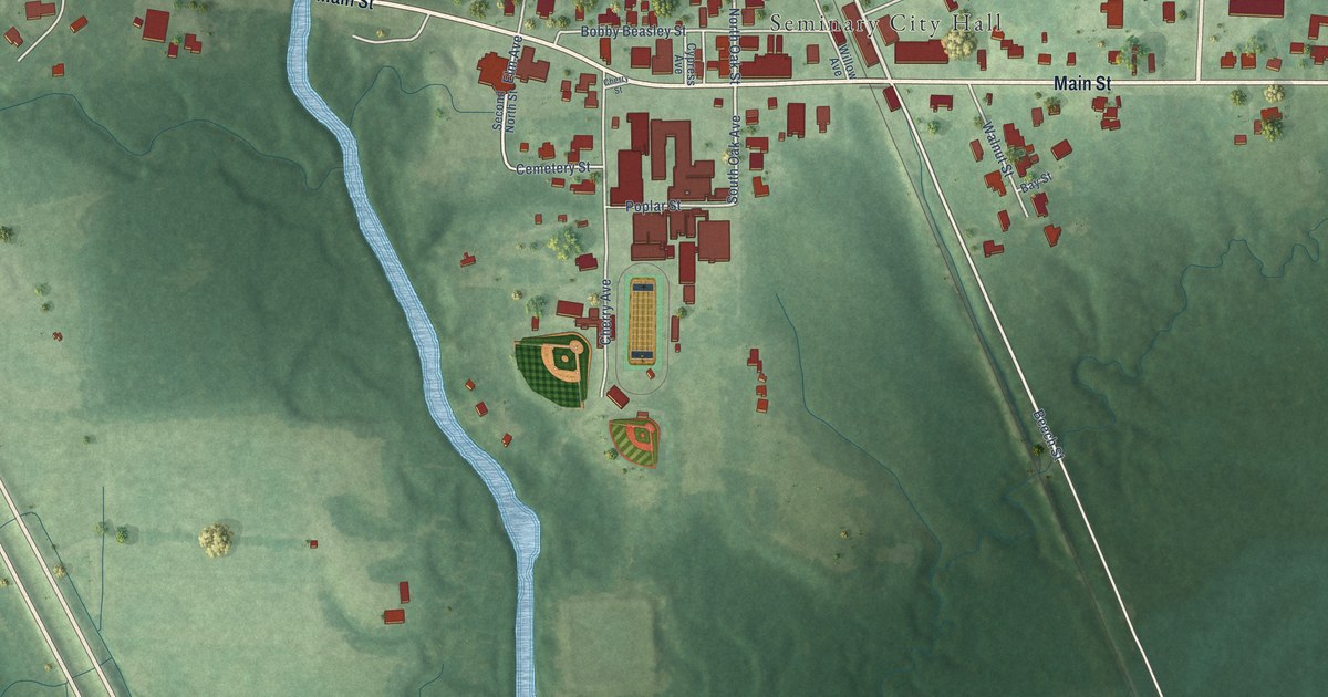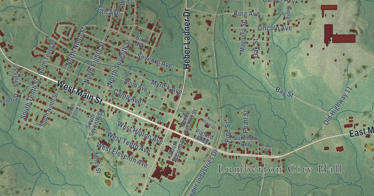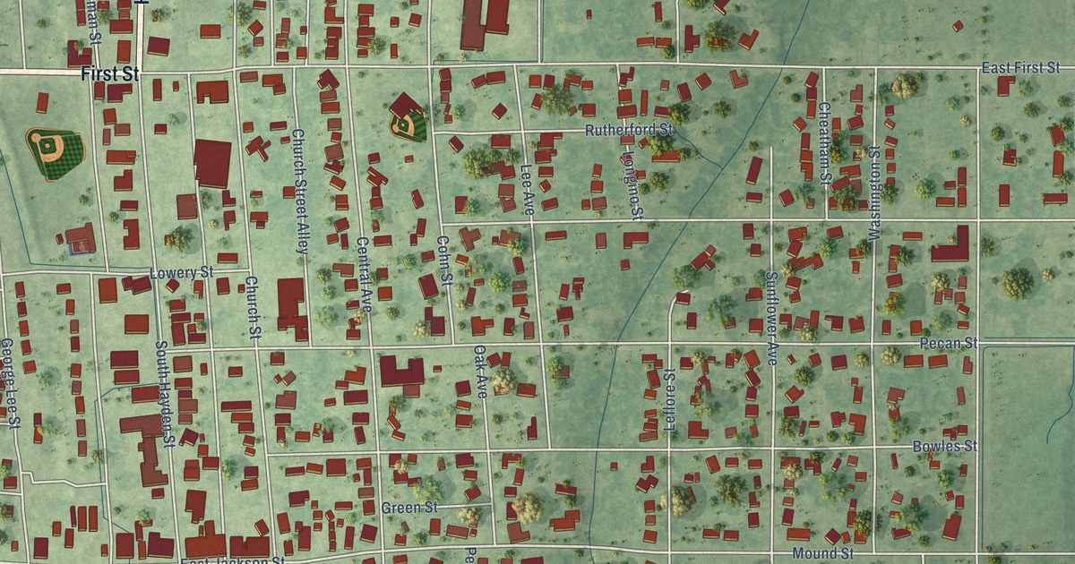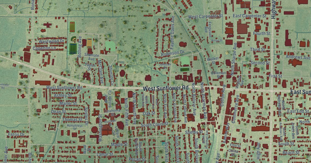
This beautifully detailed map of Cleveland, Mississippi was created in 2026 using aerial imagery combined with modern topographical, census, street and landmark data. It’s a one-of-a-kind view of Cleveland that combines accurate data with a vintage aesthetic. The map shows every building in its true location, many of the roads carry their names, and the shaded topographic relief shows the shape of the land.
Explore an aerial view of Cleveland, Mississippi
On the map you’ll find Bear Pen Park, along with West Sunflower Road, Highway 61, South Davis Avenue, North Davis Avenue, East Sunflower Road, Pearman Road, South Drive Martin Luther King Drive, Bolling Avenue, White Street, North Bayou Avenue, Beach Street, and more. If you look closely you can even find your house accurately drawn in its correct location. Zoom in on the preview to look for yours.
Did you know this piece of Cleveland, Mississippi history?
From Mississippiencyclopedia.org: "Delta State Teachers College was created by the legislature in 1924 and opened in Cleveland the following year."
Take a closer look at the Cleveland map
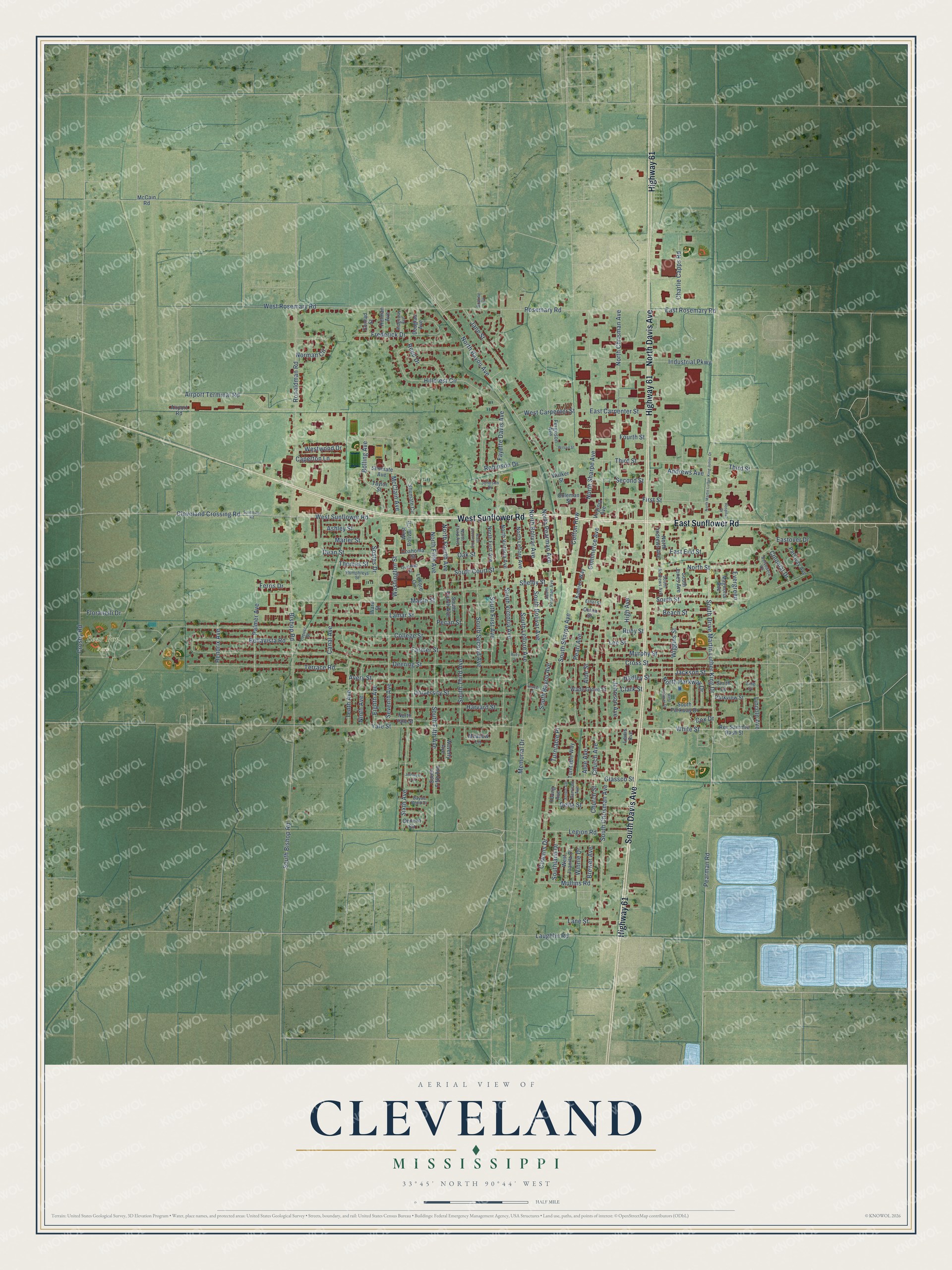
Street and place names on the Cleveland, Mississippi map
These names are printed on the map of Cleveland, Mississippi.
Places: Bear Pen Park.
Streets and roads: West Sunflower Road, Highway 61, South Davis Avenue, North Davis Avenue, East Sunflower Road, Pearman Road, South Drive Martin Luther King Drive, Bolling Avenue, White Street, North Bayou Avenue, Beach Street, Pearl Avenue.
More street names, A to Z
Airport Road, Airport Terminal Road, Aloe Avenue, Aloe Street, Andrews Avenue, Arnold Avenue, Ashley Street, Avery Street, Bayou Bend Drive, Bellavista Road, Belvedere Court, Bishop Road, Braline Cv, Brewer Avenue, Canal Avenue, Caperton Lane, Charlie Capps Road, China Street, Church Avenue, Church Street, Clark Street, Cleveland Crossing Road, Coahoma Street, Coleman Street, College Street, Colonial Drive, Commerce Avenue, Conrad Street, Cotton Row, Cowans Drive, Cox Drive, Crosby Road, Cross Street, Dean Street, Deering Street, Delta Street, Douglas Avenue, East Carpenter Street, East End Street, Eastover Drive, East Rosemary Road, Eighth Avenue, Ethel Street, Evergreen, Farmer Street, Fayette Davis Avenue, Ferguson Avenue, Ferris Drive, First Street, Floranelli Drive, Fourth Street, Frederick Drive, Garrison Avenue, Geneva Circle, Glassco Street, Grover Street, Hadley Street, Harvard Street, Hendrix Avenue, High Avenue, Hillcrest Circle, Holman Avenue, Hospital Drive, Humphreys Street, Industrial Parkway, Jackson Street, Jane Street, Jefferson Circle, Johnson Avenue, Johnson Drive, Kamien Way, King Cv, Lamar Street, Lane Street, Laughlin Road, Lee Street, Leflore Circle, Legion Road, Lewis Avenue, Lincoln Avenue, Locust Street, Magnolia Avenue, Maple Street, Marler Street, McCain Road, McClain Avenue, Meadow Lane, Memorial Drive, Mullins Road, Murphy Street, Ninth Avenue, Norman Circle, North Andrews Avenue, North Bolivar Avenue, North Chrisman Avenue, North Fifth Avenue, North First Avenue, North Fourth Avenue, North Leflore Avenue, North Martin Luther King Junior Drive, North Parkway Drive, North Pearman Avenue, North Second Avenue, North Sharpe Avenue, North Street, North Third Avenue, North Victoria Avenue, North Yale Street, Oak Street, Palmer Avenue, Parkview Street, Parkway Avenue, Pecan Street, Quitman Street, Reed Drive, Rev Sammie Rash Street, Ridgeway Avenue, Robinson Drive, Roby Street, Ronaldman Road, Rosemary Road, Ruby Street, Second Street, Seventh Avenue, Shelby Street, Shumate Avenue, Shumate Circle, Sixth Avenue, Smith Cv, Sostes Drive, South Andrews Avenue, South Bayou Avenue, South Bishop Road, South Bolivar Avenue, South Chrisman Avenue, South Court Street, South Fifth Avenue, South First Avenue, South Fourth Avenue, South Jones Avenue, Southland Drive, South Leflore Avenue, South Parkway Drive, South Pearman Avenue, South Second Avenue, South Sharpe Avenue, South Street, South Third Avenue, South Victoria Avenue, Sunflower Road, Taylor Street, Tenth Avenue, Terrace Road, Third Street, Thomas Street, Turntable Place, Turntable Way, University Street, Virginia Avenue, Wade Grove Street, Walker Street, Ward Street, Washington Street, Waverly Avenue, West Bolivar Circle, West Carpenter Street, West Juanita Circle, West Parkway Drive, West Rosemary Road, Westwood Drive, Wiggins Street, Wilson Street, Winnie Drive, Yale Street, Young Avenue.
See the Cleveland, Mississippi map on a wall
The Cleveland map as an 18 x 24 inch print in a black frame.

This beautifully detailed map of Cleveland makes an attractive addition to your office, library, or den, and it can even be used to teach children the geography and history of the area. It also makes a great gift for someone who left Cleveland and still calls it home. When you’re done exploring, click here to get your copy of the Cleveland map.