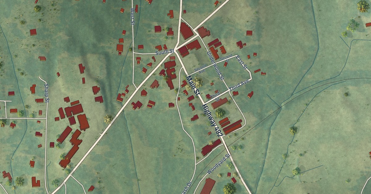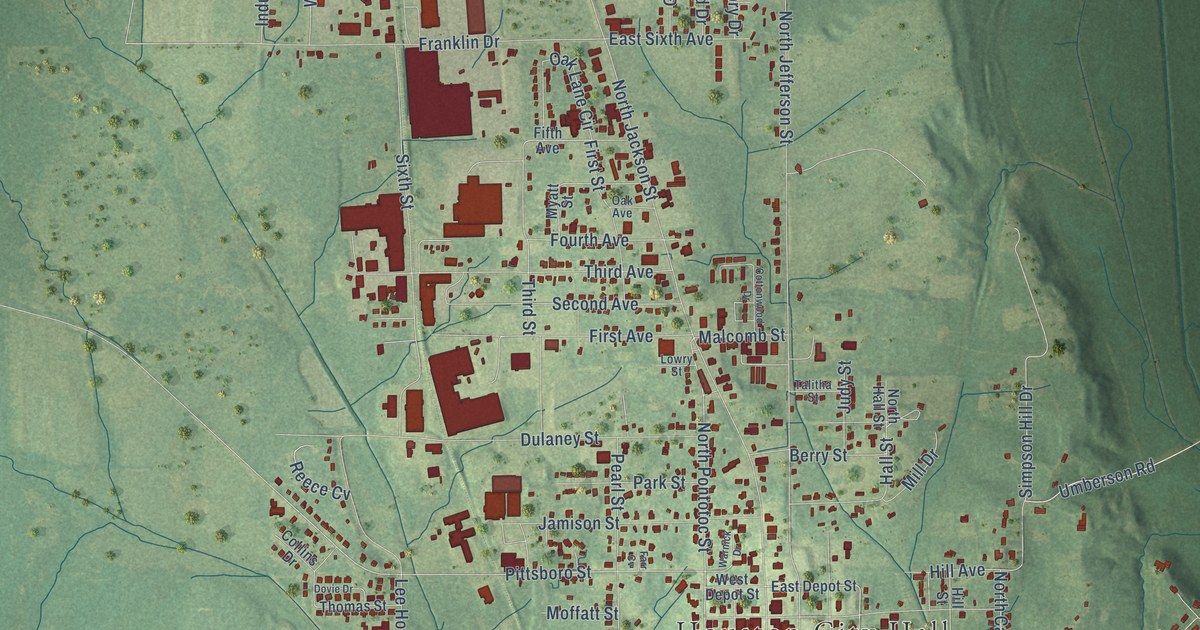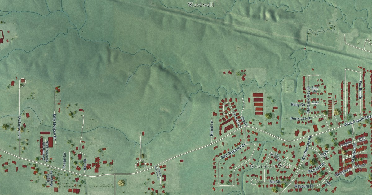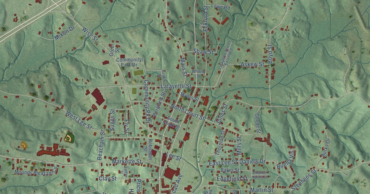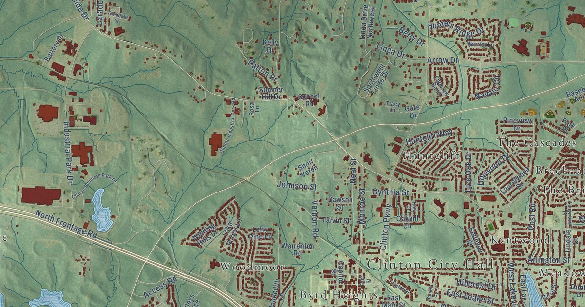
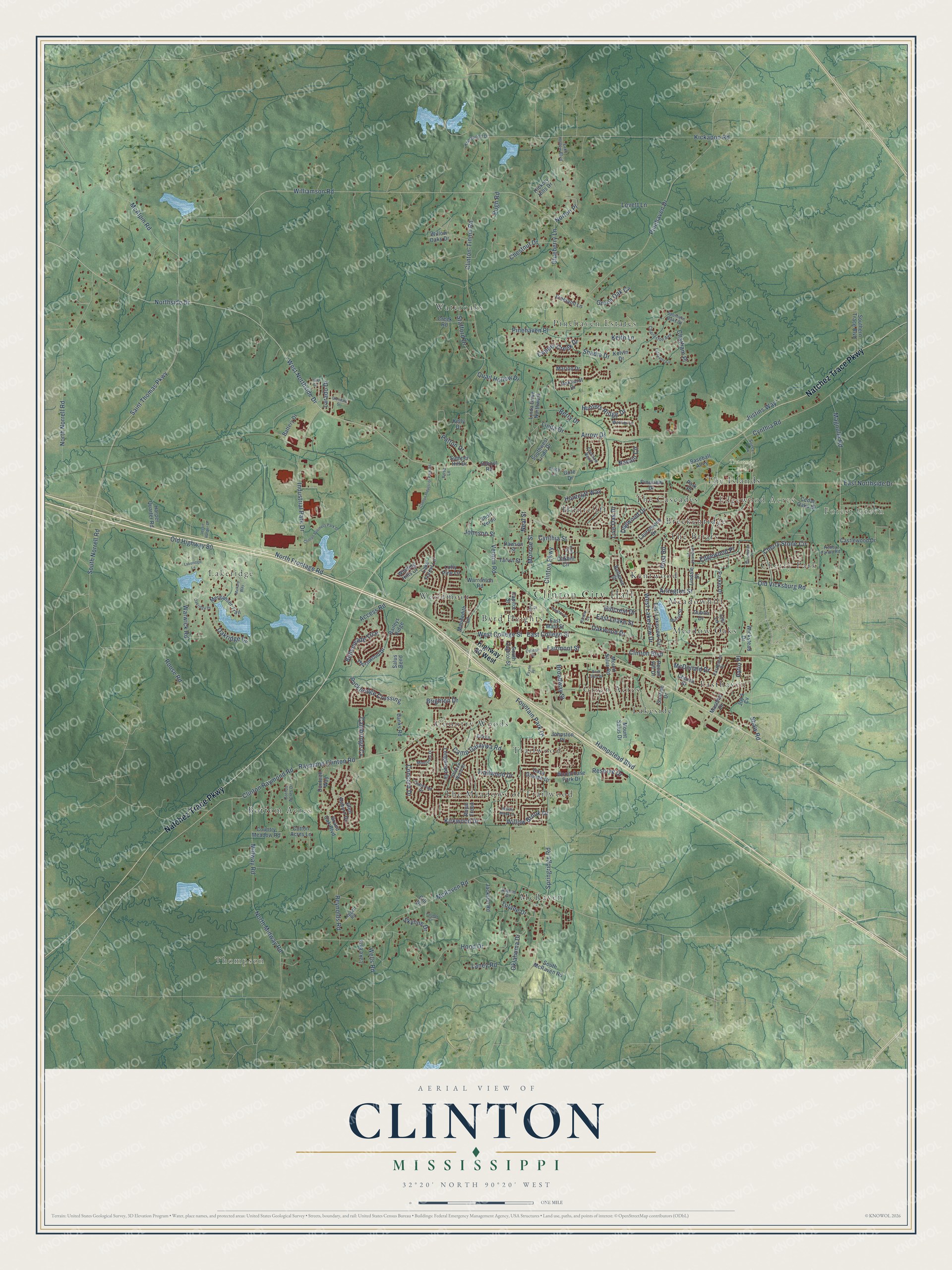
This beautifully detailed map of Clinton, Mississippi was created in 2026 using aerial imagery combined with modern topographical, census, street and landmark data. It’s a one-of-a-kind view of Clinton that combines accurate data with a vintage aesthetic. The map shows every building in its true location, many of the roads carry their names, and the shaded topographic relief shows the shape of the land.
Explore an aerial view of Clinton, Mississippi
On the map you’ll find Clinton City Hall, Thompson, Forest Green, Edgewood Acres, Traceway Park, Bottom Acres, Breckenridge, Byrd Heights, Cherry Park, Country Woods, Easthaven, Green Acres, and more. If you look closely you can even find your house accurately drawn in its correct location. Zoom in on the preview to look for yours.
Did you know this about Clinton, Mississippi?
From Mississippiencyclopedia.org: "Barry Hannah grew up in Clinton, attended Mississippi College, and set some of his work there."
Take a closer look at the Clinton map
Street and place names on the Clinton, Mississippi map
These names are printed on the map of Clinton, Mississippi.
Places: Clinton City Hall, Thompson, Forest Green, Edgewood Acres, Traceway Park, Bottom Acres, Breckenridge, Byrd Heights, Cherry Park, Country Woods, Easthaven, Green Acres, Huntcliff, Kentwood, Lakeridge, Lakeside, McRaven, Meadow Oaks, Meadowhill, Pinehaven Estates, The Briars, The Cascades, The Islands, The Meadows of Trailwood, Trailwood, Wateroaks and Woodmoor.
Streets and roads: Natchez Trace Parkway, East Northside Drive, Monroe Street, Williamson Road, West Northside Drive, Northside Drive, East Leake Street, Kickapoo Road, Saint Thomas Parkway, Pinehaven Drive, Old Highway 80, Clinton Raymond Road.
More street names, A to Z
Access Road, Arlington Street, Arrow Drive, Auburn Drive, Baileys Ridge, Banks Road, Baseball Alley, Battery Drive, Bellemeade Trce, Bellevue Street, Berry Drive, Blueberry Lane, Brighton Drive, Broadway Street, Cabernet Drive, Cambridge Cv, Camp Garaywa Road, Capitol Street, Casa Grande Drive, Castlewood Drive, Cedar Oaks Drive, Charleston Avenue, Chatham Place, Cherry Stone Circle, Chestnut Drive, Choctaw Bend, Church Street, Clinton-Tinnin Road, Clinton Boulevard, Clinton Business Park Drive, Clinton Industrial Park Road, Clinton Parkway, College Street, Concord Drive, Copper Creek Drive, Cotton Acres Drive, Cotton Acres Lane, Country Meadow Road, Creek Road, Cynthia Road, Cynthia Street, Dawson Street, Dogwood Drive, Dublin Drive, Dunleith Way, East College Street, Easthaven Drive, East Lakeview Circle, East Main Street, East Street, Edgewood Place, Eva Lane, Fairmont Street, Farmer Drive, Fountain Park Drive, Freeland Lane, Gill Drive, Glen Auburn Drive, Glendale Street, Gloucester Place, Gore Drive, Grand Oak Boulevard, Green Oak Cv, Hampstead Boulevard, Harper Quarter Road, Heights Drive, Hickory Hills Drive, Highway 80 West, Hillcrest Drive, Hobby Farms Road, Hood Drive, Huntcliff Way, Hunters Ridge Drive, Industrial Park Drive, Jackson Road, Jessie Harper Drive, Johnson Street, Johnston Place, Joy's Cv, Justins Way, Keith Lane, Kelly Drive, Kelvin Drive, Kent Drive, Kirkwood Drive, Knollwood Drive, Lafayette Circle, Lake Ests, Lake Forest Lane, Lake Hollow Boulevard, Lakeridge Lane, Laney Road, Larado Drive, Laurelwood Drive, Leggett Road, Linda Drive, Linda Drive Northwest, Lindale Street, Lisi Lane, Live Oak Drive, Lofty Pine Lane, Longwood Drive, Longwood Place, Lovett Lane, Magnolia Road, Mallard Way, Marion Drive, Masonic Drive, Maudedith Lane, McAlpin Road, McDonald Drive, McRaven Road, Merganser Trail, Midway Road, Monterey Drive, Mount Salus Drive, Mount Salus Road, Murial Street, Navajo Circle, Neal Street, North Frontage Road, North Midway Road, North Norrell Road, Norton Place, Oakhill Circle, Oakhurst Drive, Oakridge Cv, Oakridge Drive, Oakwood Drive, Oklahoma Drive, Old Vicksburg Road, Parker Drive, Park Place, Patio Place, Patton Drive, Payne Place, Pebble Brook Drive, Pecan Hill Drive, Pinehaven Place, Pineview Drive, Post Road, Pugh Road, Quail Hollow Drive, Rankin Cv, Raymond Clinton Road, Reserve Drive, Reynolds Road, Rockbridge Crossing, Rock Glen Drive, Rosa Lane, Rouse Road, Royal Troon, Salus Bend, School Road, Shadia Drive, Shadow Wood Drive, Shaw Road, Short Veron, Skyline Drive, Soccer Row, South Capitol Street, Southern Oaks Drive, Southern Trace Boulevard, South McRaven Road, South Norrell Road, Southwest Linda Drive, Springridge Road, Stafford Drive, Sumner Hill Drive, Sunrise Drive, Tarvin Street, Thornwood Drive, Tracy Lane, Trailwood Drive, Tulane Drive, Vale Circle, Vernon Road, Warrenton Road, Warrior Lane, Warwick Road, Wells Road, West College Street, West Lakeview Drive, Wickstead Drive, Willow Brook Drive, Willow Oaks Drive, Winding Hills Drive, Woodchase Park Drive.
See the Clinton, Mississippi map on a wall
The Clinton map as an 18 x 24 inch print in a black frame.

This beautifully detailed map of Clinton makes an attractive addition to your office, library, or den, and it can even be used to teach children the geography and history of the area. It also makes a great gift for anyone who grew up in Clinton or moved away. When you’re done exploring, click here to get your copy of the Clinton map.