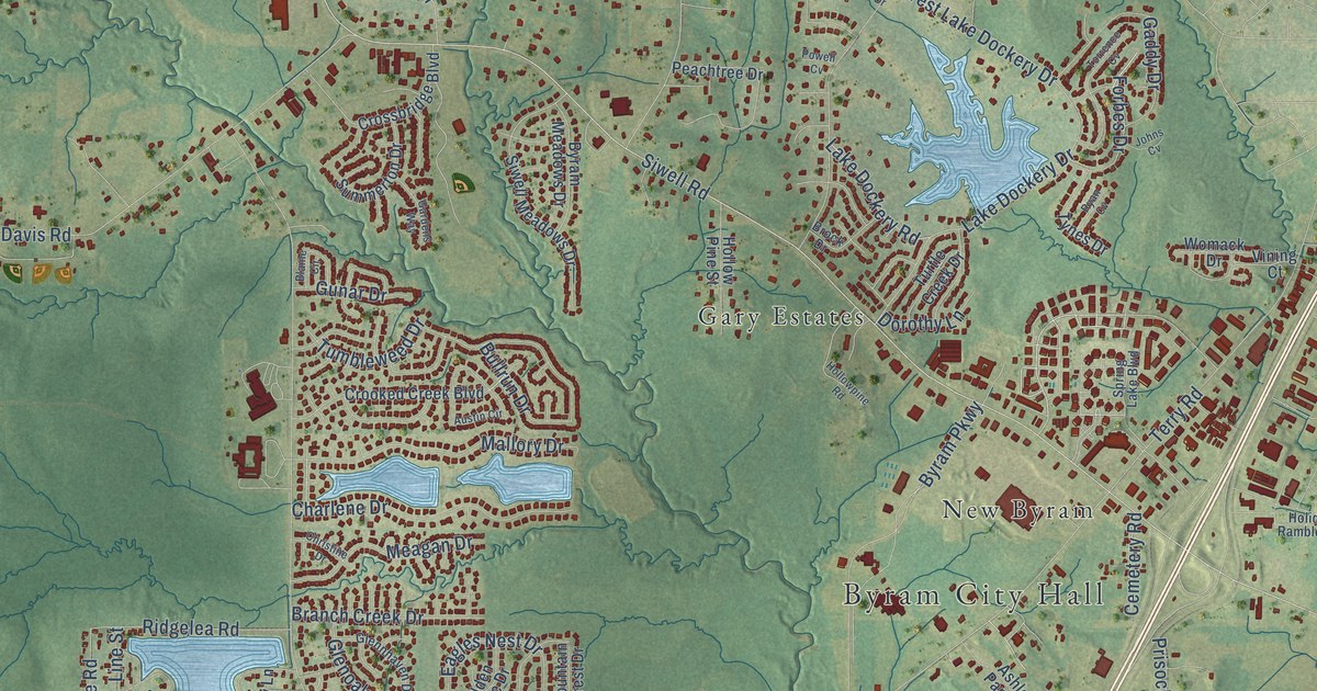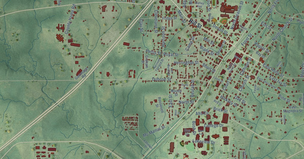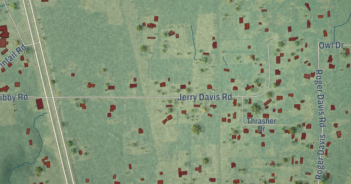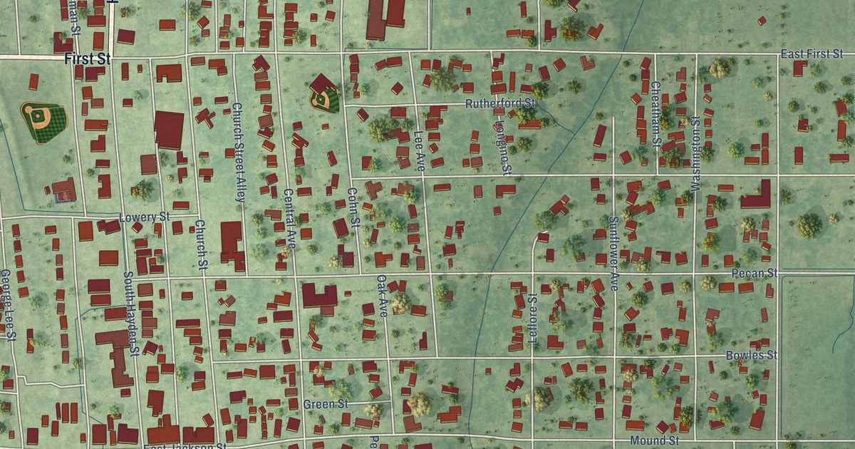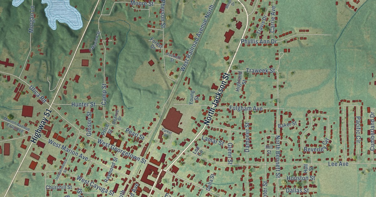
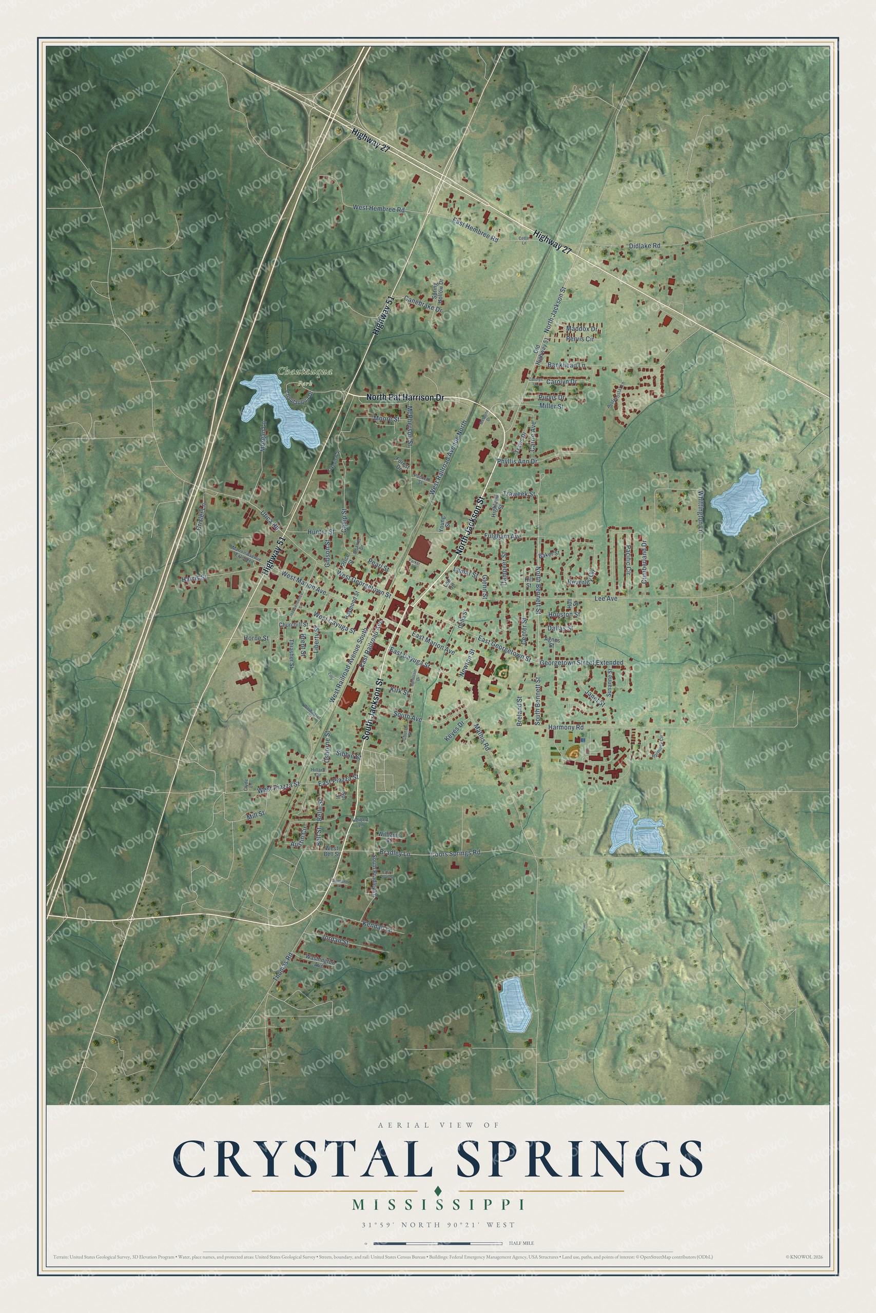
This beautifully detailed map of Crystal Springs, Mississippi was created in 2026 using aerial imagery combined with modern topographical, census, street and landmark data. It’s a one-of-a-kind view of Crystal Springs that combines accurate data with a vintage aesthetic. The map shows every building in its true location, many of the roads carry their names, and the shaded topographic relief shows the shape of the land.
Explore an aerial view of Crystal Springs, Mississippi
On the map you’ll find Chautauqua Park and Georgetown Street Extended, along with North Jackson Street, North Pat Harrison Drive, Highway 27, South Jackson Street, Highway 51, East Georgetown Street, North Bennett Street, West Georgetown Street, Belle Street, West Piazza Street, and more. If you look closely you can even find your house accurately drawn in its correct location. Zoom in on the preview to look for yours.
Did you know this piece of Crystal Springs, Mississippi history?
From Dunbar Rowland’s 1907 encyclopedia of Mississippi history: "Crystal Springs, an incorporated town in Copiah county on the Illinois Central R. R., 25 miles south of Jackson. It is the center of the truck farming and market gardening industry for the State."
Take a closer look at the Crystal Springs map
Street and place names on the Crystal Springs, Mississippi map
These names are printed on the map of Crystal Springs, Mississippi.
Places: Chautauqua Park.
Streets and roads: North Jackson Street, North Pat Harrison Drive, Highway 27, South Jackson Street, Highway 51, East Georgetown Street, North Bennett Street, Georgetown Street Extended, West Georgetown Street, Belle Street, West Piazza Street, Bell Street.
More street names, A to Z
Agnes Street, Austin Circle, Baker Street, Bankhead Lane, Bernstein Drive, Beverley Circle, Bradley Lane, Breland Street, Brent Street, Camp Street, Canebrake Drive, Carolyn Drive, Carolyn Lane, Carrie Avenue, Cedar Lane, Center Street, Chautauqua Drive, Churchill Street, Church Street, Clyde Lane, Coors Springs Road, Crisler Lane, Cumberland Drive, Dallas Street, Dampeer Street, Deanne Drive, Delia Street, Diamond Lane, Didlake Road, East Cayuga Street, East Hembree Road, East Lewis Street, East Marion Avenue, East Piazza Street, East Railroad Avenue, Forest Drive, Fulgham Avenue, Gibson Street, Glenn Street, Harmony Circle, Harmony Road, Harris Street, Herbert Lane, Highland Street, Hillard Circle, Hill Street, Horne Street, Houston Street, Hull Street, Hunter Street, Independence Street, Janet Street, Jordan Street, Kendall Lane, Keyes Drive, Kirk Street, Lakeview Street, Lamar Street, Lee Avenue, Lee Circle, Liberty Street, Lilly, Maddox Drive, Marion Avenue Extended, Mathis Road, McPherson Street, Metaline Drive, Miller Street, Mill Street, Moore Street, Morgan Lane, Newton Street, Old Highway 51, Osborne Street, Pacific Circle, Parker Street, Pearl Street, Pentecostal Lane, Pervis Circle, Phyllis Ann Drive, Price Street, Puckett Street, Purvis Drive, Raymond Street, Sibbie Street, Sol Street, South Avenue, South Bennett Street, South Bradley Lane, Spring Hollow Drive, Susanne Street, Thomas Road, Thrasher Street, Travis Drive, Traweek Street, Utica Road, Washington Avenue, Washington Street, West Bell Street, West Cayuga Street, West Hembree Road, West Marion Avenue, West Railroad Avenue North, West Railroad Avenue South, Whittington Lane, Williams Street, Young Street.
See the Crystal Springs, Mississippi map on a wall
The Crystal Springs map as an 18 x 24 inch print in a black frame.

This beautifully detailed map of Crystal Springs makes an attractive addition to your office, library, or den, and it can even be used to teach children the geography and history of the area. It also makes a great gift for anyone who grew up in Crystal Springs or moved away. When you’re done exploring, click here to get your copy of the Crystal Springs map.