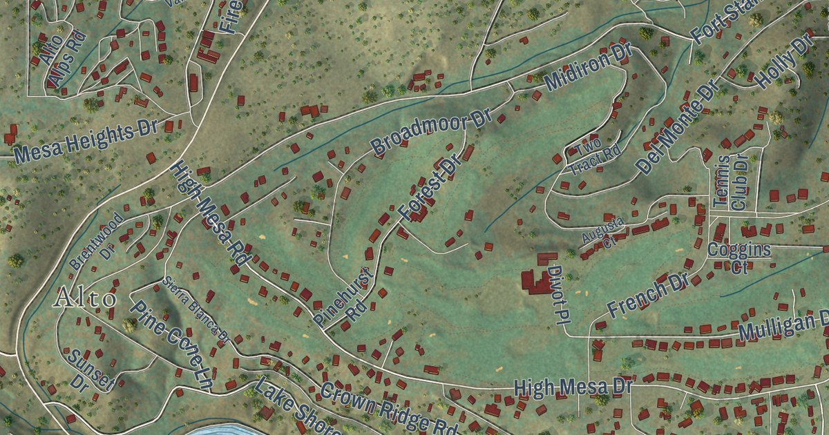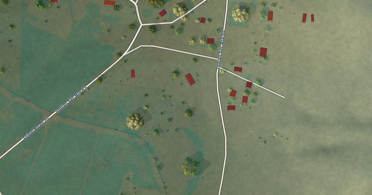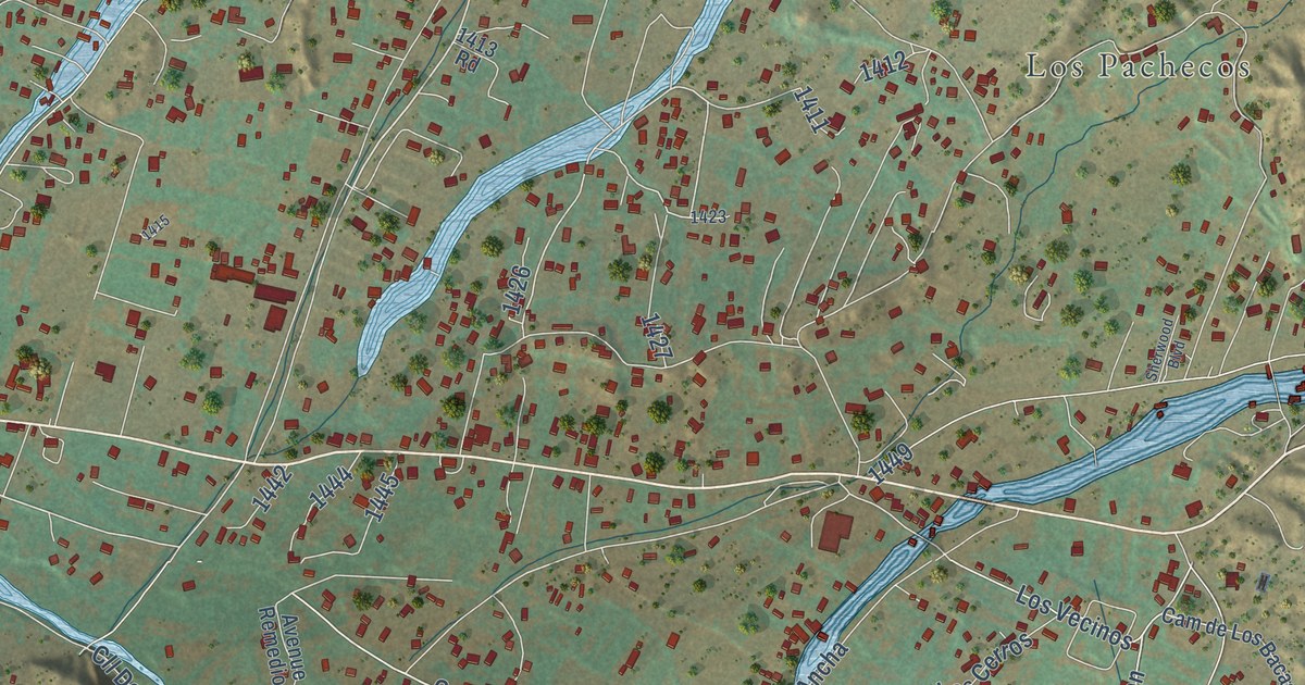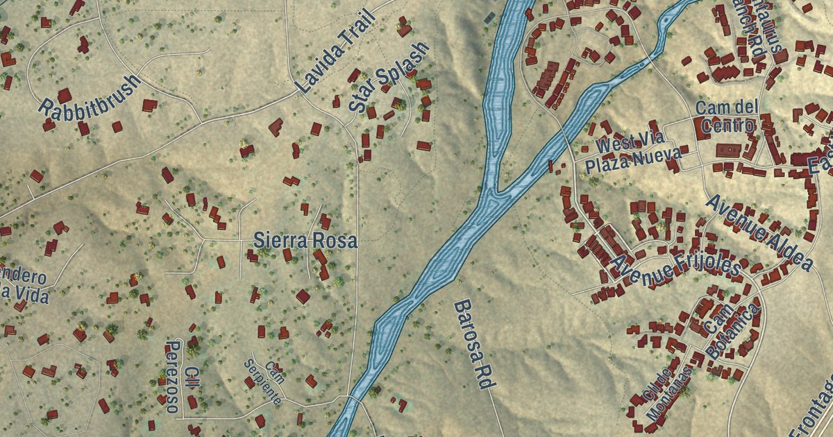
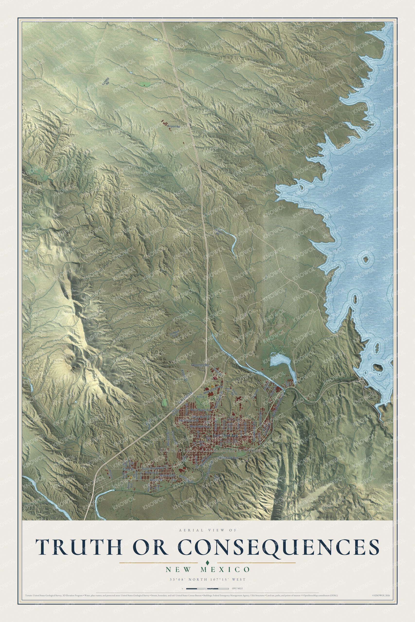
This beautifully detailed map of Truth or Consequences, New Mexico was created in 2026 using aerial imagery combined with modern topographical, census, street and landmark data. It’s a one-of-a-kind view of Truth or Consequences that combines accurate data with a vintage aesthetic. The map shows every building in its true location, many of the roads carry their names, and the shaded topographic relief shows the shape of the land.
Explore an aerial view of Truth or Consequences, New Mexico
On the map you’ll find Sierra County Administrative Offices, along with East Third Avenue, South Broadway Street, North Riverside Drive, North Date Street, Pine Street, Silver Street, Date Street, Riverside Drive, Kopra Street, Arrowhead Road, West Eighth Street, and more. If you look closely you can even find your house accurately drawn in its correct location. Zoom in on the preview to look for yours.
Did you know this piece of Truth or Consequences, New Mexico history?
From the New Mexico Tourism Department: "The cowboys renamed it to Palomas Hot Springs then got lazy and changed the name to Hot Springs. Then in 1950 this little town got its big name as part of a publicity scheme to celebrate the 10th anniversary of Ralph Edwards’ hugely successful Truth or Consequences game show on NBC radio."
Take a closer look at the Truth or Consequences map
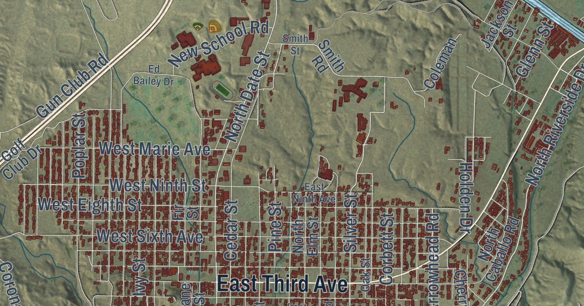
Street and place names on the Truth or Consequences, New Mexico map
These names are printed on the map of Truth or Consequences, New Mexico.
Places: Sierra County Administrative Offices.
Streets and roads: East Third Avenue, South Broadway Street, North Riverside Drive, North Date Street, Pine Street, Silver Street, Date Street, Riverside Drive, Kopra Street, Arrowhead Road, West Eighth Street, Turtleback Avenue.
More street names, A to Z
Airport Road, Ash Street, Bonner Road, Casa Rio Road, Cedar Street, Cemetery Road, Cherry Lane, Cielo Vista Road, Clancy Street, Coleman, Cook Street, Corbett Street, Corona Street, County Road Co47, Doris Avenue, East First Avenue, East Ninth Avenue, Ed Bailey Drive, Fir Street, Garst Street, Glenn Street, Gold Street, Golf Club Drive, Gun Club Road, Holden Drive, Hyde Avenue, Hyde Street, Iron Street, Ivy Street, Jackson Street, Kam Road, Landfill Road, Lane Street, Main Avenue, Marshall Street, Mercury Street, Michigan Street, Morgan Street, Myrtle Street, New School Road, No Mans Road, North Caballo Road, North Elm Street, Oak Street, Poplar Street, Radium Street, Simpson Street, Smith Road, Smith Street, Steel Street, Tin Street, Veater Street, West Marie Avenue, West Ninth Street, West Riverside Drive, West Sixth Avenue.
See the Truth or Consequences, New Mexico map on a wall
The Truth or Consequences map as an 18 x 24 inch print in a black frame.

This beautifully detailed map of Truth or Consequences makes an attractive addition to your office, library, or den, and it can even be used to teach children the geography and history of the area. It also makes a great gift for anyone who grew up in Truth or Consequences or moved away. When you’re done exploring, click here to get your copy of the Truth or Consequences map.