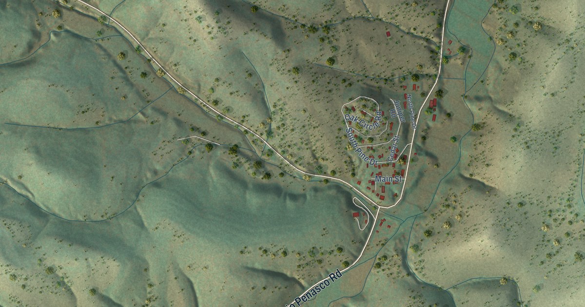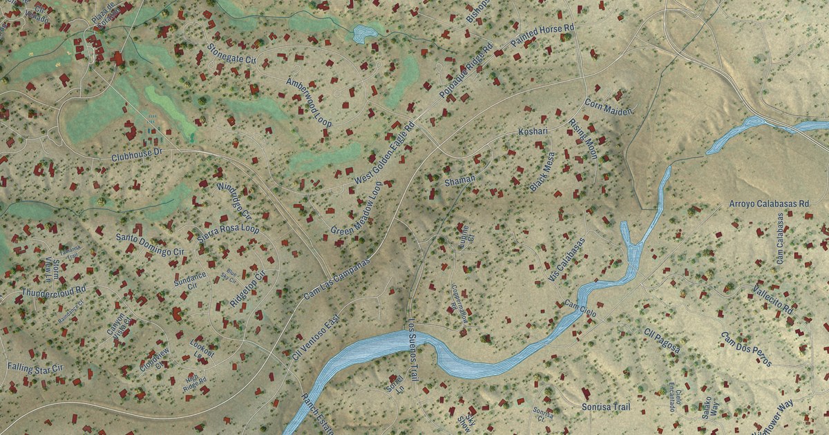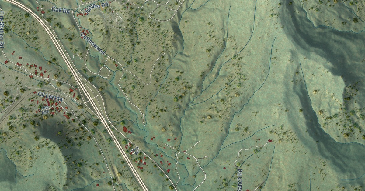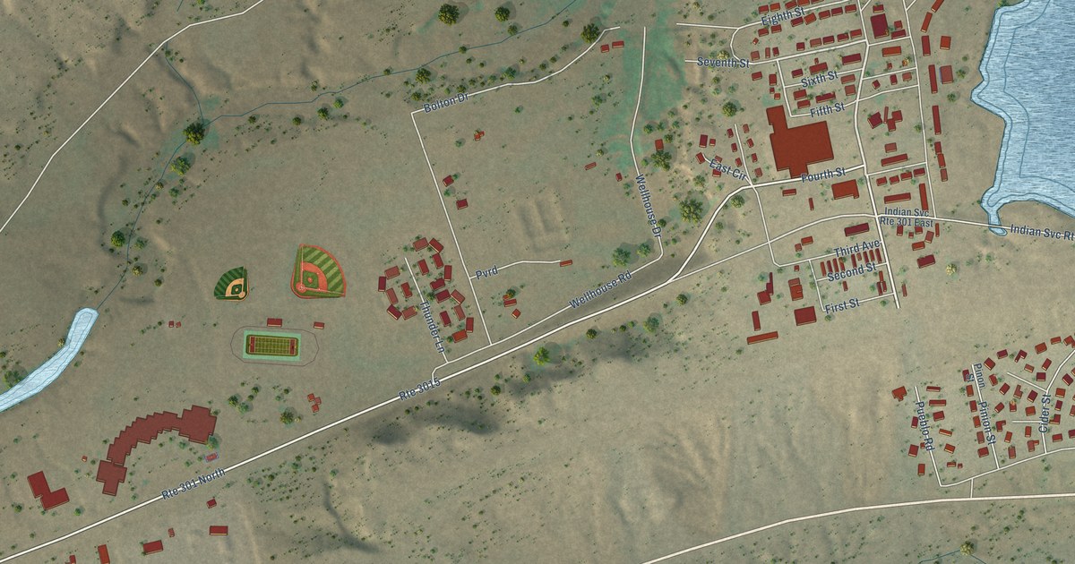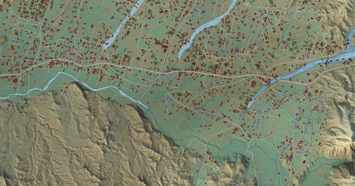
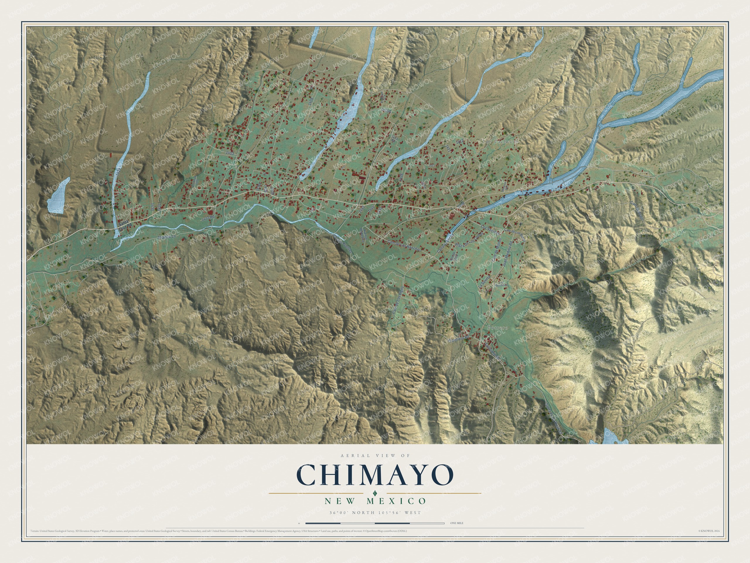
This beautifully detailed map of Chimayo, New Mexico was created in 2026 using aerial imagery combined with modern topographical, census, street and landmark data. It's a modern aerial view of Chimayo in Santa Fe County, New Mexico, that combines modern data with a vintage aesthetic. The roads feature printed names, and if you look closely you can find your exact house accurately shown in its correct location.
Explore an aerial view of Chimayo, New Mexico
On this map you'll find Los Pachecos, Potrero, Cam de Mision, Cam de Los Ranchos, Los Vecinos, Shadow Lane, Cll Dos Puentes, Juan Medina Road, Canada Ancha, Santa Fe Co Road 92, El Potrero Road, Cam de Los Vigils, and more. Each red shape is a building, so zoom in on the preview and look for yours.
Every town has a first chapter, and Chimayo is no exception. The Tewa people named this area Tsi-Mayoh, after one of four sacred hills above the valley. In 1813 Bernardo Abeyta asked the local priest to let the nineteen families of El Potrero build a chapel to the crucified Christ of Esquipulas, a miraculous image from Guatemala. It would stand where he was believed to have found a crucifix glowing under the dirt. El Santuario de Chimayo was finished in 1816. After the Second World War, survivors of the Bataan death march began walking to it from Santa Fe, and the pilgrimage grew to more than 300,000 people a year. That's from the New Mexico Senate.
Chimayo is a community in Santa Fe County. The Census Bureau counted 3,077 people here in 2020. Chimayo sits about 2 miles west of Rio Chiquito, 3 miles east of La Puebla and 4 miles northwest of Cundiyo. The map prints the town name in its title panel, with the coordinates below it.
Take a closer look at the Chimayo map
Names on this map
These names are printed on this map.
Places: Los Pachecos and Potrero.
Streets and roads: Cam de Mision, Cam de Los Ranchos, Los Vecinos, Shadow Lane, Cll Dos Puentes, Juan Medina Road, Canada Ancha, Santa Fe County Road 92, El Potrero Road, Cam de Los Vigils, Plaza de Los Cerros, Cam de Avajo.
More street names, A to Z
1413 Road, 1433 Road, Avenue Remedios, Cam de Los Bacas, Ent de Ortiz, La Suvida, Los Ranchitos, Pvt Road 1410, Pvt Road 1434, Santa Cruz Road, Santuario Drive, Sherwood Boulevard.
See it on a wall
The Chimayo map as a framed print. Swipe for more.


Created by KNOWOL in 2026. The buildings are small red shapes, the roads carry their printed names, and shaded relief shows the shape of the land. The title panel reads "AERIAL VIEW OF CHIMAYO, NEW MEXICO" with 36°00' NORTH 105°56' WEST.
Hang it in the hallway, the office or the cabin, or give it to someone who left Chimayo and still calls it home. Open the preview and look for a street you know. See sizes and frames for the Chimayo map.