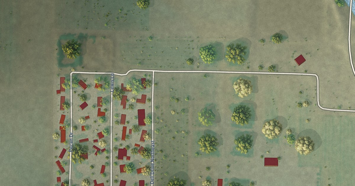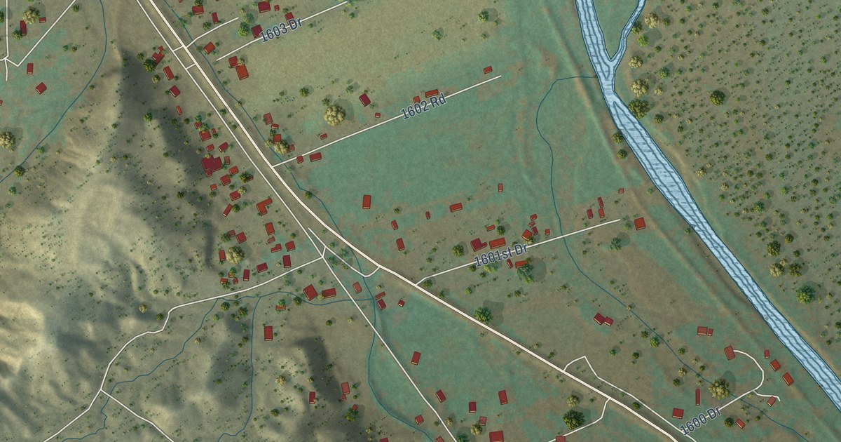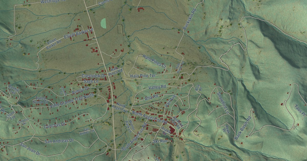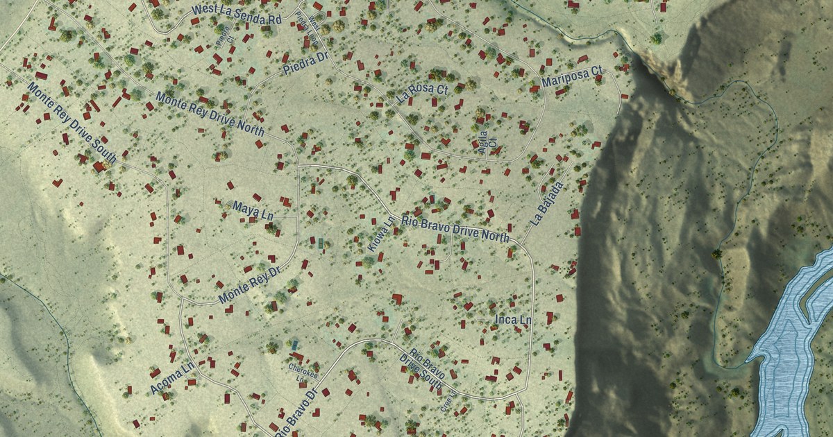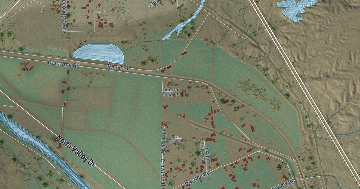
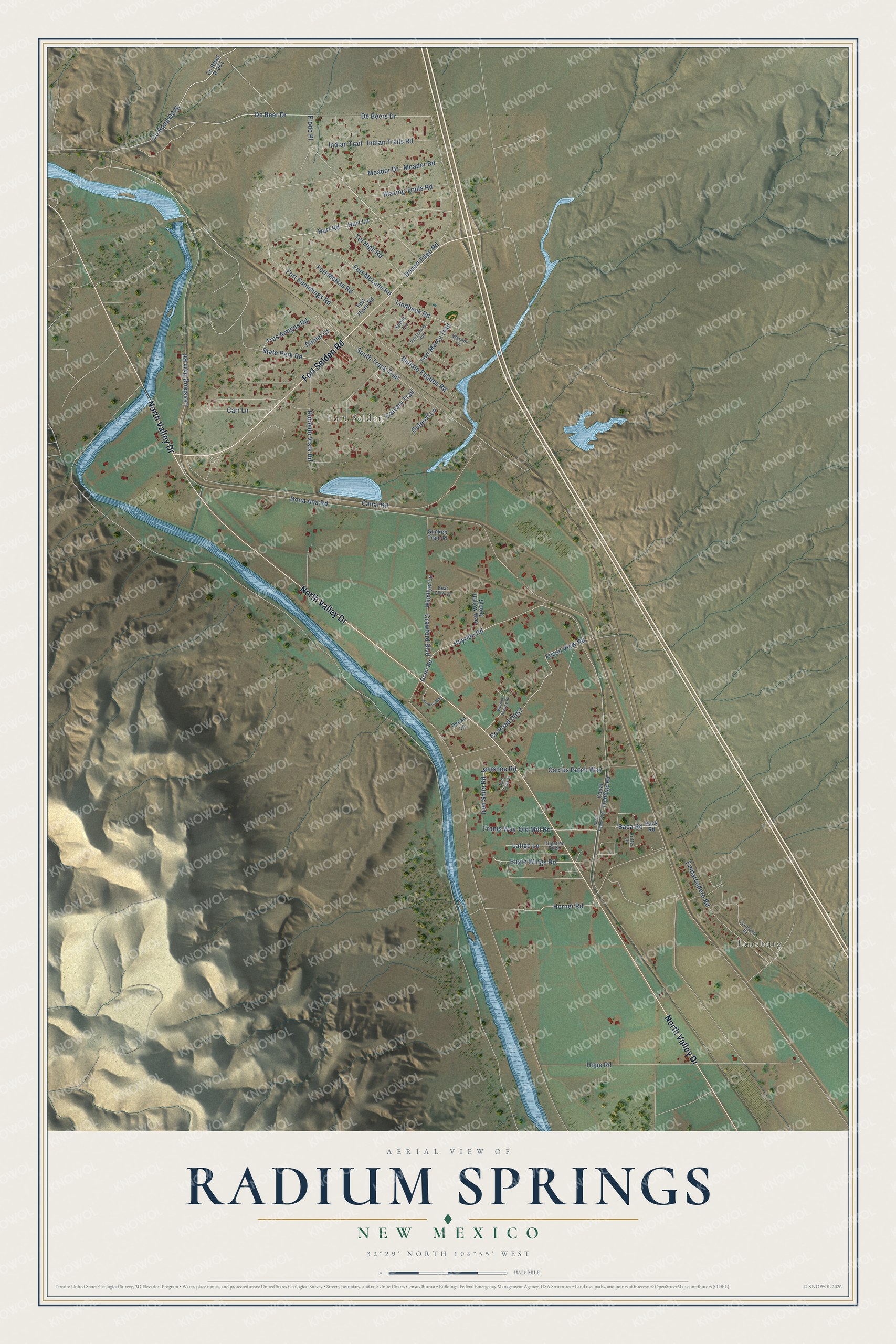
This beautifully detailed map of Radium Springs, New Mexico was created in 2026 using aerial imagery combined with modern topographical, census, street and landmark data. It's a modern aerial view of Radium Springs in Doña Ana County, New Mexico, that combines modern data with a vintage aesthetic. The roads feature printed names, and if you look closely you can find your exact house accurately shown in its correct location.
Explore an aerial view of Radium Springs, New Mexico
On this map you'll find Leasburg, Fort Selden, North Valley Drive, Fort Selden Road, Co Road D006, De Beer Drive, Old Mill Road, Hayride Road, Hurt Road, Hurt Lane, Cactus Patch Way, De Beers Drive, and more. Each red shape is a building, so zoom in on the preview and look for yours.
Radium Springs is a community in Doña Ana County. The Census Bureau counted 1,498 people here in 2020. Radium Springs sits about 8 miles northwest of Doña Ana, 10 miles northwest of San Ysidro and 11 miles north of Picacho Hills. The map prints the town name in its title panel, with the coordinates below it.
Take a closer look at the Radium Springs map
Names on this map
These names are printed on this map.
Places: Leasburg and Fort Selden.
Streets and roads: North Valley Drive, Fort Selden Road, De Beer Drive, Old Mill Road, Hayride Road, Hurt Road, Hurt Lane, Cactus Patch Way, De Beers Drive, Horner Road, Eagle Wings Road, Franis Way.
More street names, A to Z
Baca Road, Back Road, Bear Claw Lane, Blazing Trails Road, Buffalo Estates Road, Calvary Trail, Canal Frontage Road, Canal Road, Carr Lane, Corralones Road, County Road D-061, Crawford Boulevard, Critter Lane, Daniel Court, Desert Edge Road, Dona Ana Road, Embarcadero Road, Fort Cummings Road, Fort Furlong Trail, Fort Marcy Trail, Fort McLane Road, Fort McRae Road, Fort Thorn Road, Fossil View Road, Francis Way, Frodo Place, Grant Road, Hope Road, Indian Trail, Indian Trails Road, Iron Shoe Road, Ironshoe Road, Irrigation Ditch, Latigo Lane, Leasburg Dam Road, Lindbeck Road, Meador Drive, Meador Road, Mule Creek Street, North Valley Highway, Outpost Lane, Pecan Lane, Robledo Vista Road, Scout Lane, Sleepy Hollow Way, South Track Trail, State Park Road, Sunken Train Place, Tel High Road, Tres Amigos Road, Warrior Lane, William Bonney Road, Windflyer Lane.
See it on a wall
The Radium Springs map as a framed print. Swipe for more.


Created by KNOWOL in 2026. The buildings are small red shapes, the roads carry their printed names, and shaded relief shows the shape of the land. The title panel reads "AERIAL VIEW OF RADIUM SPRINGS, NEW MEXICO" with 32°29' NORTH 106°55' WEST.
It looks right in a kitchen, an office or a den, and it's a gift for anyone who grew up in Radium Springs or moved away. Open the preview and find your street. See sizes and frames for the Radium Springs map.