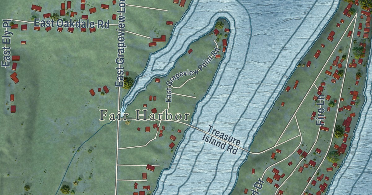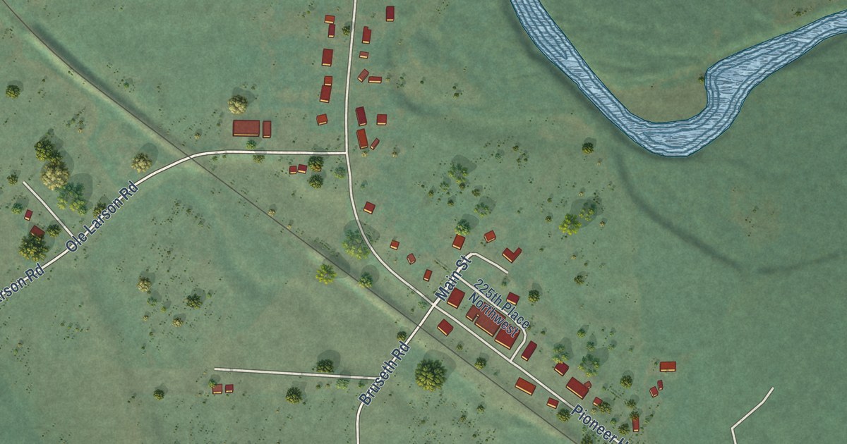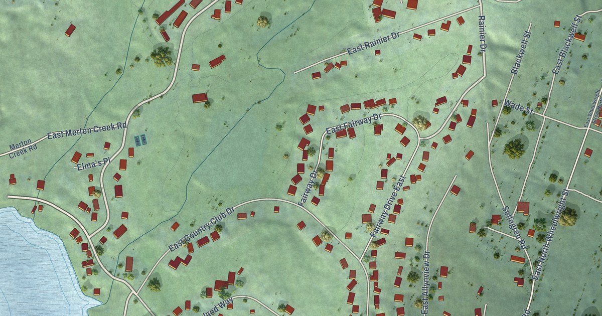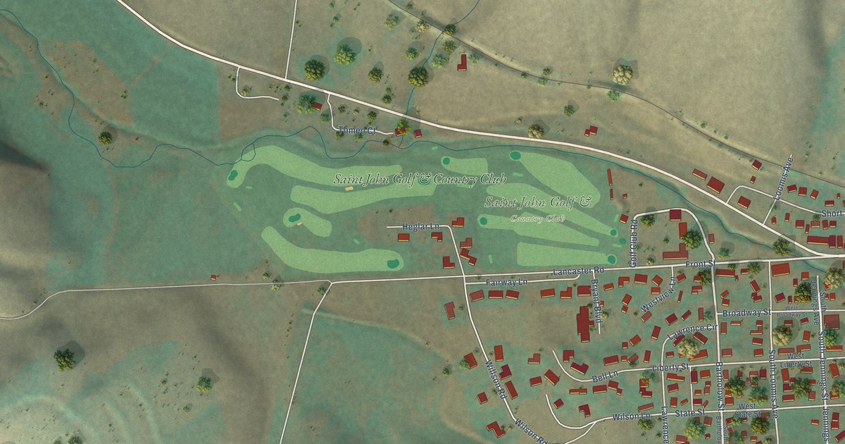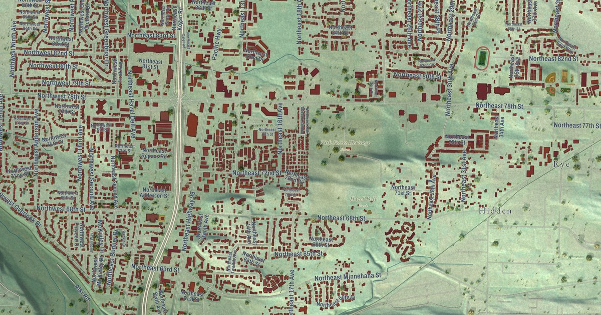
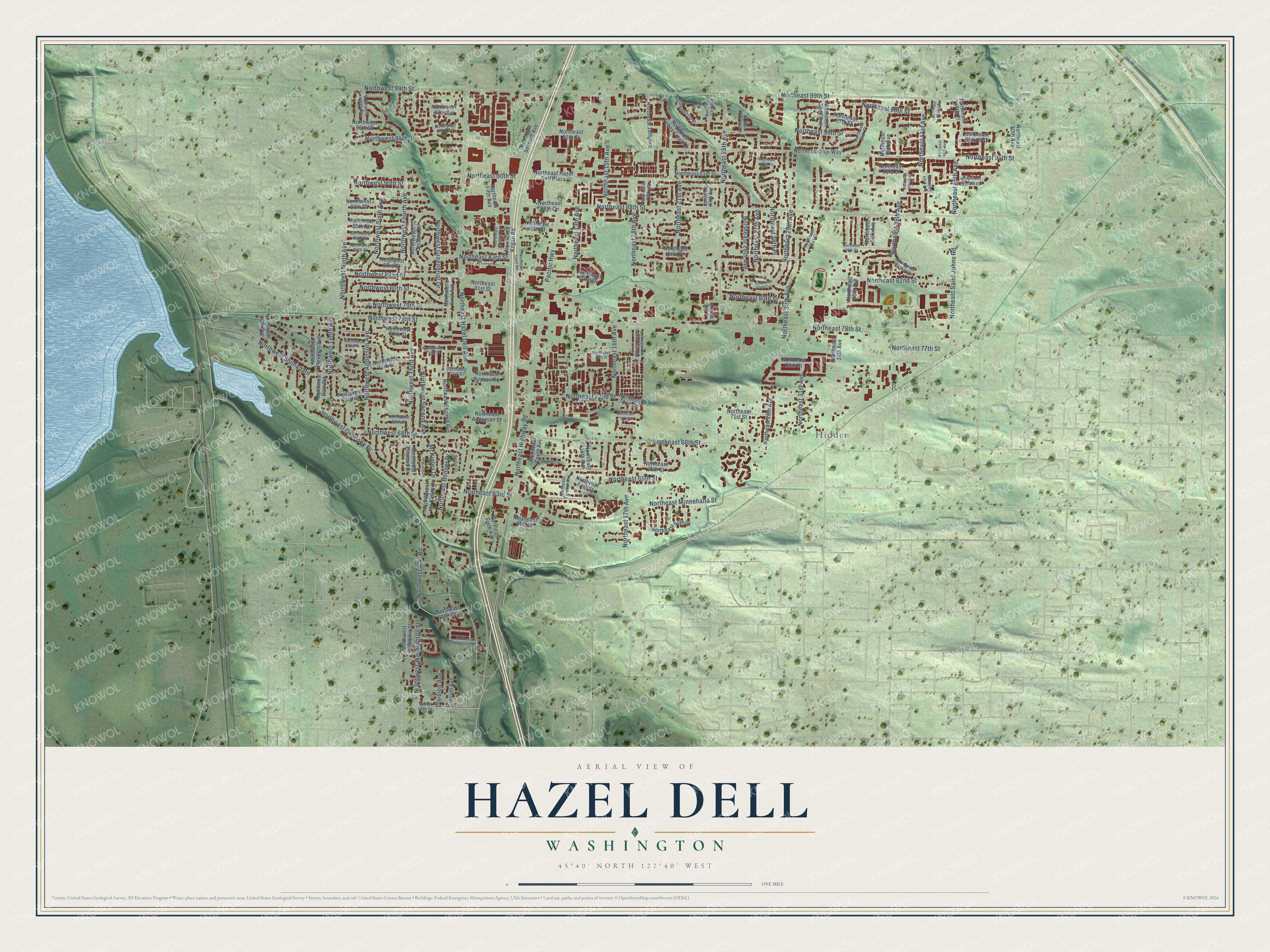
This beautifully detailed map of Hazel Dell, Washington was created in 2026 using aerial imagery combined with modern topographical, census, street and landmark data. It’s a one-of-a-kind view of Hazel Dell that combines accurate data with a vintage aesthetic. The map shows every building in its true location, many of the roads carry their names, and the shaded topographic relief shows the shape of the land.
Explore an aerial view of Hazel Dell, Washington
On the map you’ll find 78th Street Heritage Farm, Hazel Dell Park, Hidden, and Rye, along with Northeast 99th Street, Northwest 78th Street, Northeast 41st Avenue, Northeast 83rd Street, Northeast 30th Avenue, Northeast 13th Avenue, Northeast 16th Avenue, Northeast Hazel Dell Avenue, and more. If you look closely you can even find your house accurately drawn in its correct location. Zoom in on the preview to look for yours.
Did you know this piece of Hazel Dell, Washington history?
From Clark County: "Hazel Dell's destiny was to occupy a strategic point on the old road leading north from Vancouver through the woods to Salmon Creek and beyond. A county land map from the 1880s identifies the locality as Anderson; named for a pioneer family residing there."
Take a closer look at the Hazel Dell map
Street and place names on the Hazel Dell, Washington map
These names are printed on the map of Hazel Dell, Washington.
Places: 78th Street Heritage Farm, Hazel Dell Park, Hidden and Rye.
Streets and roads: Northeast 99th Street, Northwest 78th Street, Northeast 41st Avenue, Northeast 83rd Street, Northeast 30th Avenue, Northeast 13th Avenue, Northeast 16th Avenue, Northeast Hazel Dell Avenue, Northeast 78th Street, Northeast Highway 99, Northeast 88th Street, Northeast 94th Street.
More street names, A to Z
Alki Road, Creston Avenue, Division Avenue, Jordan Way, McKinley Drive, Northeast 14th Avenue, Northeast 15th Avenue, Northeast 17th Avenue, Northeast 18th Avenue, Northeast 19th Avenue, Northeast 19th Court, Northeast 21st Avenue, Northeast 21st Place, Northeast 23rd Avenue, Northeast 24th Avenue, Northeast 24th Court, Northeast 25th Avenue, Northeast 26th Avenue, Northeast 26th Place, Northeast 27th Avenue, Northeast 28th Avenue, Northeast 28th Place, Northeast 29th Avenue, Northeast 31st Avenue, Northeast 31st Court, Northeast 32nd Avenue, Northeast 34th Avenue, Northeast 35th Avenue, Northeast 36th Place, Northeast 37th Avenue, Northeast 38th Avenue, Northeast 39th Avenue, Northeast 40th Avenue, Northeast 42nd Avenue, Northeast 43rd Avenue, Northeast 44th Avenue, Northeast 45th Avenue, Northeast 45th Place, Northeast 50th Avenue, Northeast 60th Street, Northeast 61st Street, Northeast 63rd Street, Northeast 64th Street, Northeast 65th Street, Northeast 66th Street, Northeast 68th Street, Northeast 70th Street, Northeast 71st Street, Northeast 72nd Circle, Northeast 72nd Street, Northeast 73rd Street, Northeast 75th Street, Northeast 76th Street, Northeast 77th Street, Northeast 78th Street Extended, Northeast 80th Street, Northeast 81st Street, Northeast 82nd Circle, Northeast 82nd Drive, Northeast 82nd Street, Northeast 83rd Way, Northeast 84th Street, Northeast 85th Street, Northeast 86th Street, Northeast 88th Circle, Northeast 90th Street, Northeast 91st Street, Northeast 91st Way, Northeast 92nd Circle, Northeast 93rd Street, Northeast 94th Way, Northeast 95th Street, Northeast 95th Way, Northeast 96th Street, Northeast 97th Street, Northeast 98th Street, Northeast Alki Road, Northeast Anderson Street, Northeast Bonner Drive, Northeast Calef Road, Northeast Fifth Avenue, Northeast Grove Road, Northeast Hazel Dell Plaza, Northeast Kogan Road, Northeast Minnehaha Street, Northeast Newhouse Road, Northeast Repass Road, Northeast Saint Johns Road, Northeast Second Avenue, Northeast Seventh Avenue, Northeast Sixth Avenue, Northeast Tenny Creek Drive, Northeast Tenth Avenue, Northeast Twelfth Avenue, Northwest 15th Avenue, Northwest 68th Street, Northwest 69th Street, Northwest 72nd Street, Northwest 74th Street, Northwest 75th Street, Northwest 76th Street, Northwest 77th Street, Northwest 79th Street, Northwest 80th Street, Northwest 82nd Street, Northwest 83rd Street, Northwest 84th Street, Northwest 85th Street, Northwest 86th Street, Northwest 88th Street, Northwest 90th Street, Northwest 94th Street, Northwest 95th Circle, Northwest 96th Street, Northwest 97th Circle, Northwest 99th Street, Northwest Alki Road, Northwest Anderson Avenue, Northwest Columbia Street, Northwest Dale Road, Northwest Eighth Avenue, Northwest Eleventh Avenue, Northwest First Avenue, Northwest Firwood Drive, Northwest Fourth Avenue, Northwest Greenbriar Drive, Northwest Mc Kinley Drive, Northwest Ninth Avenue, Northwest Old Orchard Drive, Northwest Overlook Drive, Northwest Second Avenue, Northwest Sixth Avenue, Northwest Sluman Road, Northwest Tenth Avenue, Northwest Third Avenue, Northwest Washington Street, Pacific Highway, Rankin Drive, West 45th Street.
See the Hazel Dell, Washington map on a wall
The Hazel Dell map as an 18 x 24 inch print in a black frame.

This beautifully detailed map of Hazel Dell makes an attractive addition to your office, library, or den, and it can even be used to teach children the geography and history of the area. It also makes a great gift for anyone with Hazel Dell roots. When you’re done exploring, click here to get your copy of the Hazel Dell map.