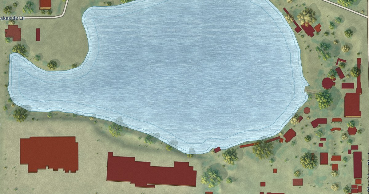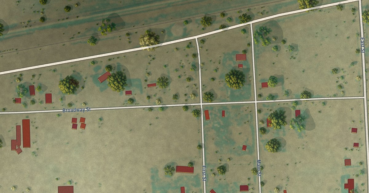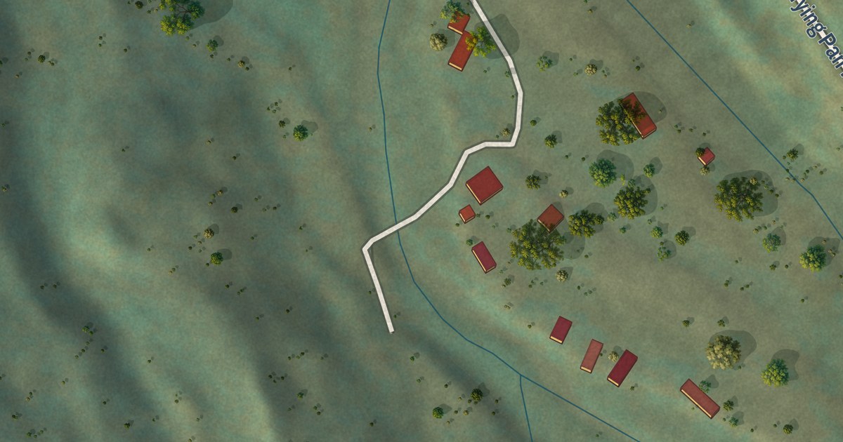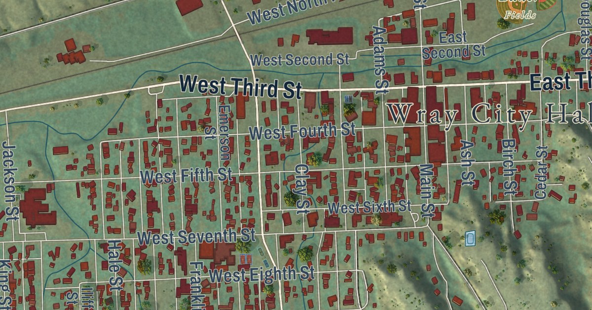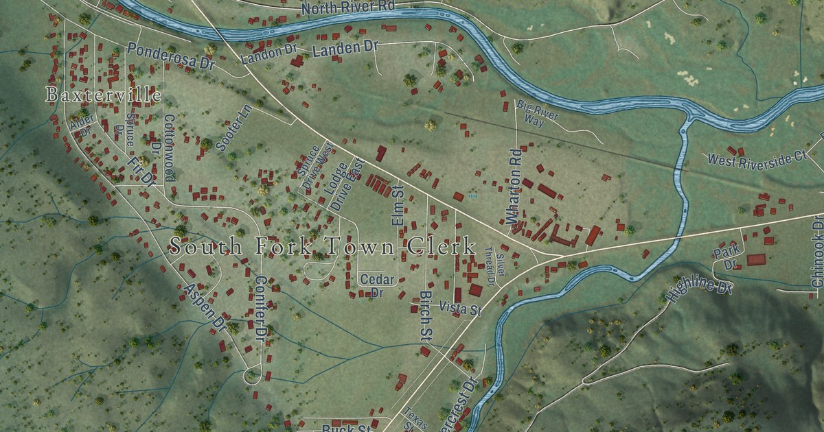
This beautifully detailed map of South Fork, Colorado was created in 2026 using aerial imagery combined with modern topographical, census, street and landmark data. It’s a one-of-a-kind view of South Fork that combines accurate data with a vintage aesthetic. The map shows every building in its true location, many of the roads carry their names, and the shaded topographic relief shows the shape of the land.
Explore an aerial view of South Fork, Colorado
On the map you’ll find South Fork Town Clerk, Baxterville, Gerrard, and Deer Run, along with Angle Drive, East Street, Conifer Drive, Aspen Drive, Landen Drive, Ponderosa Drive, Sawmill Street, North River Road, and more. If you look closely you can even find your house accurately drawn in its correct location. Zoom in on the preview to look for yours.
Did you know this piece of South Fork, Colorado history?
From the National Park Service: "Prior to the arrival of the Denver and Rio Grande Railroad in 1882, South Fork was primarily known as a stopping point on the stage line."
Take a closer look at the South Fork map
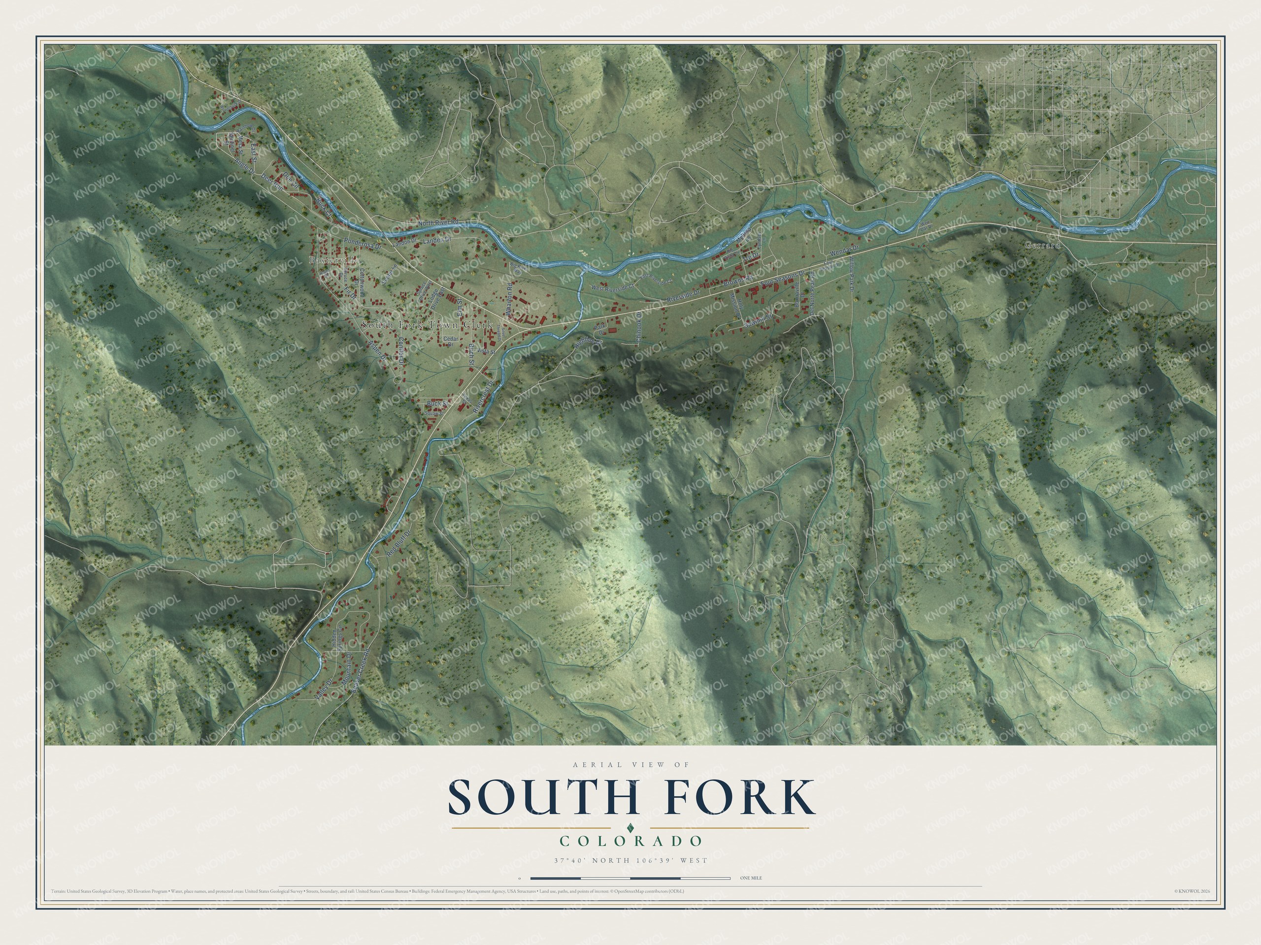
Street and place names on the South Fork, Colorado map
These names are printed on the map of South Fork, Colorado.
Places: South Fork Town Clerk, Baxterville and Gerrard.
Streets and roads: Angle Drive, Deer Run, East Street, Conifer Drive, Aspen Drive, Landen Drive, Ponderosa Drive, Sawmill Street, North River Road, Fir Drive, Valley Drive, Birch Street.
More street names, A to Z
Alder Drive, Beaver Creek Road, Big River Way, Bonnaville Drive, Browns Road, Buck Court, Buck Street, Cedar Drive, Chinook Drive, Cottonwood Drive, Del Norte Peak Road, Doe Circle, East Riverside Court, Elm Street, Four Season Drive, Four Seasons Drive, Hidden Springs Circle, Highline Drive, Holy Mission Drive, Landon Drive, Lodge Drive East, Lyndsey Lane, Melissa Lane, Mesa Street, Mountain Drive, Park Drive, Rainbow Drive, Red Bluff Drive, Rio Vista Circle, Rivercrest Drive, Riverside Drive, Sentinel Street, Silver Thread Drive, Sooter Lane, Spruce Drive, Spruce Drive West, Texas Street, Tre Drive, Vista Street, Wendar Drive, Wen Dar Drive, West Riverside Court, Wharton Road, Willow Park Drive, Woodchuck Drive.
See the South Fork, Colorado map on a wall
The South Fork map as an 18 x 24 inch print in a black frame.

This beautifully detailed map of South Fork makes an attractive addition to your office, library, or den, and it can even be used to teach children the geography and history of the area. It also makes a great gift for anyone who grew up in South Fork or moved away. When you’re done exploring, click here to get your copy of the South Fork map.