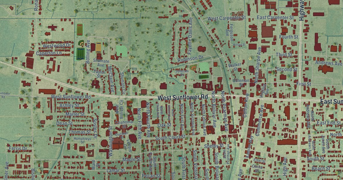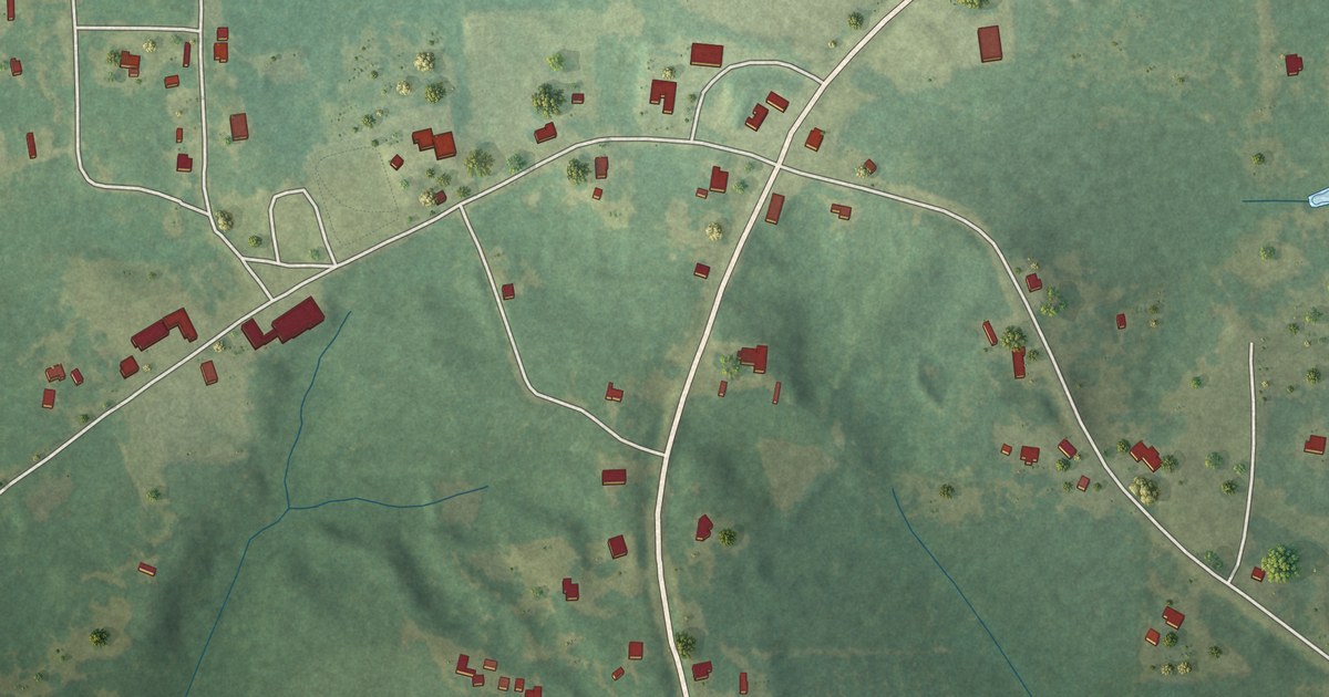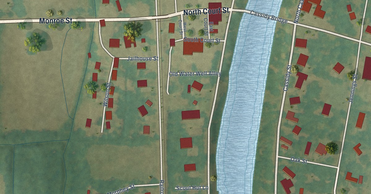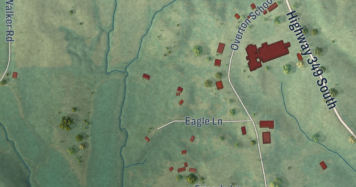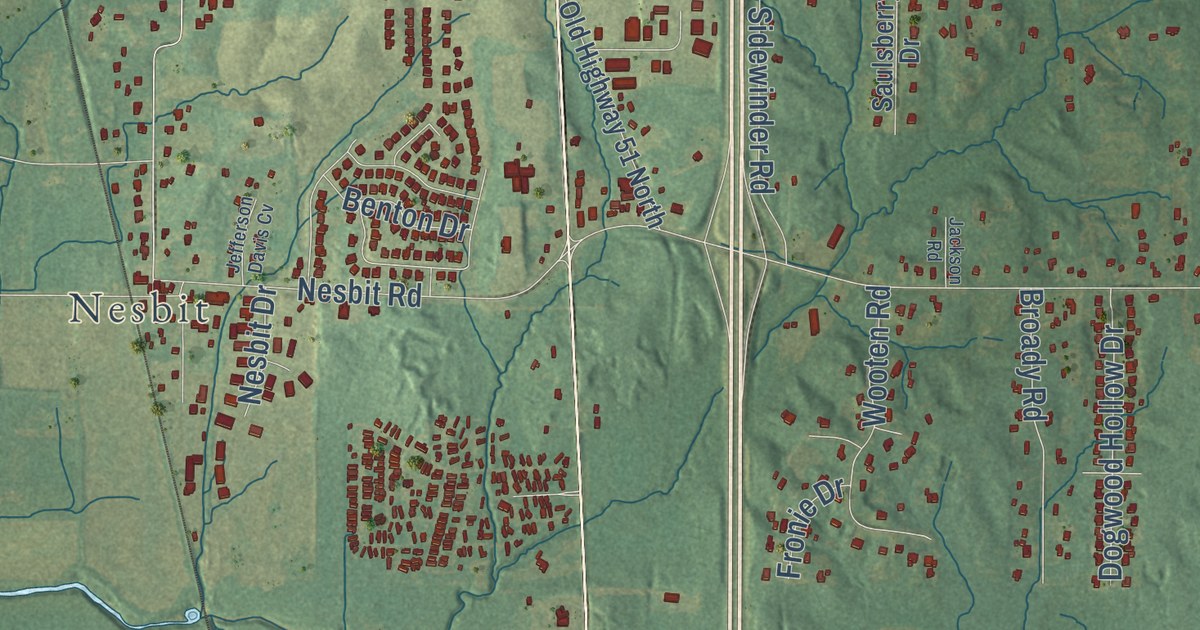
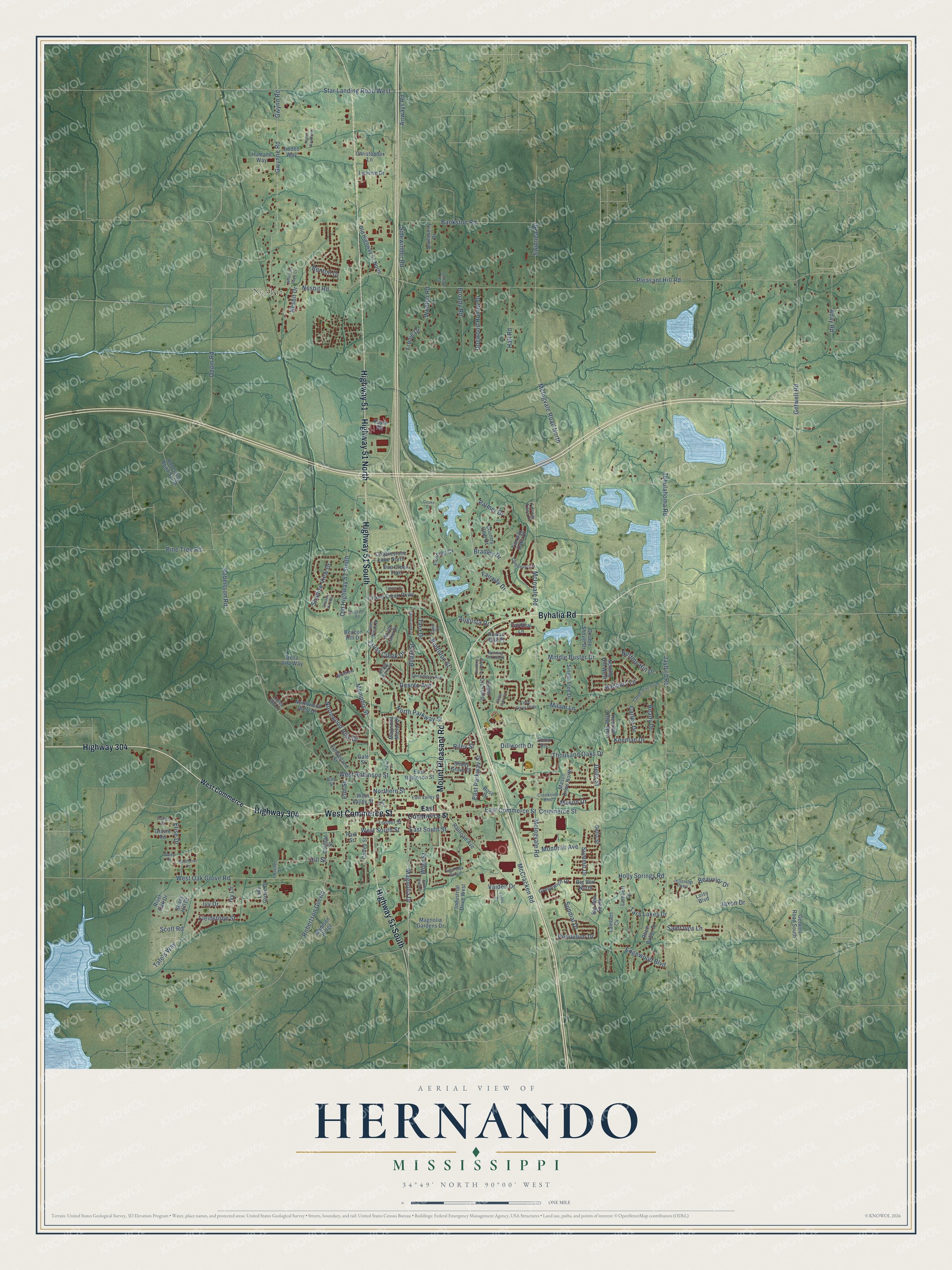
This beautifully detailed map of Hernando, Mississippi was created in 2026 using aerial imagery combined with modern topographical, census, street and landmark data. It’s a one-of-a-kind view of Hernando that combines accurate data with a vintage aesthetic. The map shows every building in its true location, many of the roads carry their names, and the shaded topographic relief shows the shape of the land.
Explore an aerial view of Hernando, Mississippi
On the map you’ll find Nesbit, along with Highway 304, West Commerce Street, Byhalia Road, Highway 51 South, Highway 51, Highway 51 North, Mount Pleasant Road, Shadow View Drive, Banbury Lane, Bradley Drive, Summit Drive, and more. If you look closely you can even find your house accurately drawn in its correct location. Zoom in on the preview to look for yours.
Did you know this piece of Hernando, Mississippi history?
From Mississippiencyclopedia.org: "Author John Grisham spent several years in the 1980s working as an attorney in DeSoto County, and some readers find traces of the area in his work. In the mid-1990s the blues rock band North Mississippi Allstars formed in Hernando. DeSoto has also long had a close connection to Memphis, and the county courthouse in Hernando displays a mural originally painted for the Gayoso Hotel in the Tennessee city."
Take a closer look at the Hernando map
Street and place names on the Hernando, Mississippi map
These names are printed on the map of Hernando, Mississippi.
Places: Nesbit.
Streets and roads: Highway 304, West Commerce Street, Byhalia Road, Highway 51 South, Highway 51, Highway 51 North, Mount Pleasant Road, Shadow View Drive, Banbury Lane, Bradley Drive, Summit Drive, Memphis Street.
More street names, A to Z
Aday Road, Airways Road, Augusta Drive, Bankston Road, Beacon Hill Drive, Beauvior Drive, Bella Vita Way, Bending Oak North, Bending Oak West, Benton Drive, Bibb Street, Big Ben North, Big Ben South, Biloxi Street, Broady Road, Caffey Street, Cardinal Lane, Carlee Drive, Carlee Drive South, Cedar Crossing, Cedar Grove Parkway, Cedar Lake Circle, Christopher Lane, Clubhouse Drive, Cobblestone Lane North, Coles Way Cv, College Street, Commerce Street, Cooke Cv, Cotton Drive, Country Club Drive, Creekside Boulevard, Cross Creek Drive, Cross Winds Drive, Daisy Drive, Deer Creek Drive, Delia Street, Della Street, Desoto Avenue, Dillworth Drive, Doe Creek Trail, Dogwood Hollow Drive, Double Shovel Drive, East Commerce Street, East Oak Grove, East Parkway Street, East Robinson Street, East South Street, East Street, East Valley Street, Edgewood Boulevard, Elise Drive, Elm Street, Fairway Drive, Fairway Oaks Drive, Fairway Trace Drive, Fawn Drive, Ferguson Road, Fieldstone Street, Fletcher Street, Flushing Cv, Forked Creek Parkway, Fronie Drive, Gale Street, Getwell Road, Getwell Road South, Gracie Road, Greenwich Drive, Gwynne Road, Gwynn Road, Hall Road, Hill Street, Holly Springs Road, Humane Way, Industrial Drive West, Ivy Drive, Ivy Lane, Jackson Road, Jaxon Drive, Jaybird Road, Jefferson Davis Cv, Jefferson Parkway, Kapik Road, Keenlan Drive, Keenlan Drive West, Lake Grove Drive, Lambert Cv, Lambert Drive, Lantis Drive, License Drive, Loisy Boulevard, Loma Vis, Losher Street, Madison Ridge, Magnolia Drive, Magnolia Gardens Drive, Magnolia Manor Drive, Mason Drive, Mason Drive North, McCracken Road, McIngvale Road, McIngvale Road North, McInvale Road, Middle Buster Drive, Milam Lane, Monteith Avenue, Nesbit Drive, Nesbit Road, Northern Street, North Parkway Street, Northwood Hills Drive, Northwood West Drive, North Wren Street, Notting Hill Drive, Notting Hill West, Odom Road, Old Highway 51 North, Old Highway 51 South, Palmer Drive, Paris Cv, Park Street, Pendulum Drive, Pine Tree Road, Pleasant Hill Road, Pontotoc Street, Railroad Avenue, Ready Drive, Rhett Butler Drive, Riley Street, River Oak Drive, Robertson Gin Road, Robertson Road, Robertson Road South, Rodeo Way, Rodeo Way North, Rose Drive, Rowan Oak Place, Saint Ives Lane, Saulsberry Drive, Scott Road, Shadow Vw East, Shady Grove Drive, Shady Hill Drive, Sidewinder Road, Single Tree Drive, South Lake Drive, Star Landing Road West, Sundial Drive, Sweetbriar Avenue, Swinnea Road, Tanner Cv, Tara Drive, Tara Lakes Drive, Tate's Way, Tchulahoma Road, Thousand Oaks Drive, Timberlane Street, Vaiden Drive, Village Wood Drive, Weatherby Drive, West Commerce, West Oak Grove Road, West Robinson Street, West South Street, West Valley Street, Whitfield Drive, Wooten Road, Wren Street.
See the Hernando, Mississippi map on a wall
The Hernando map as an 18 x 24 inch print in a black frame.

This beautifully detailed map of Hernando makes an attractive addition to your office, library, or den, and it can even be used to teach children the geography and history of the area. It also makes a great gift for someone who left Hernando and still calls it home. When you’re done exploring, click here to get your copy of the Hernando map.