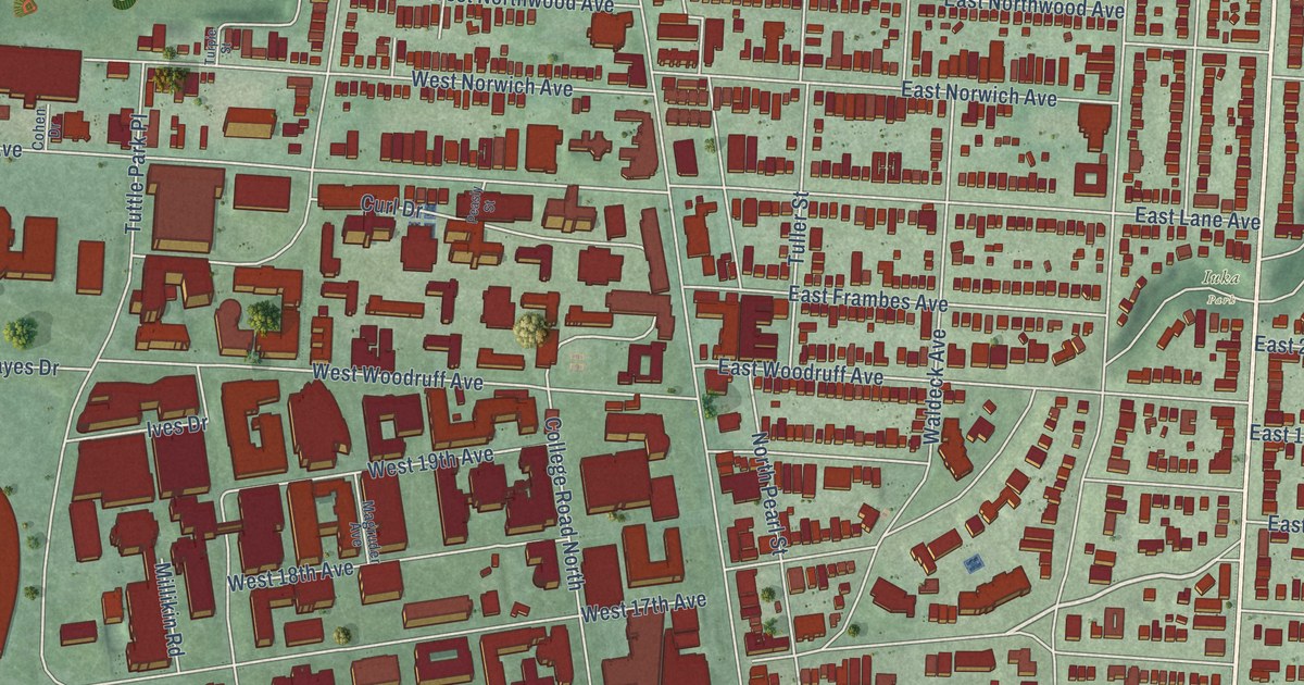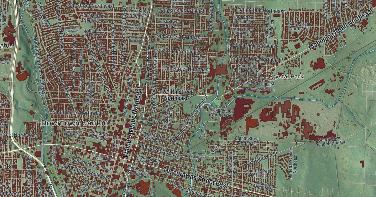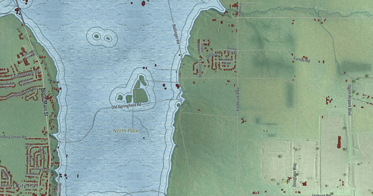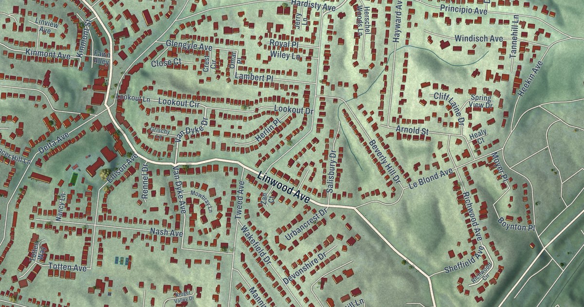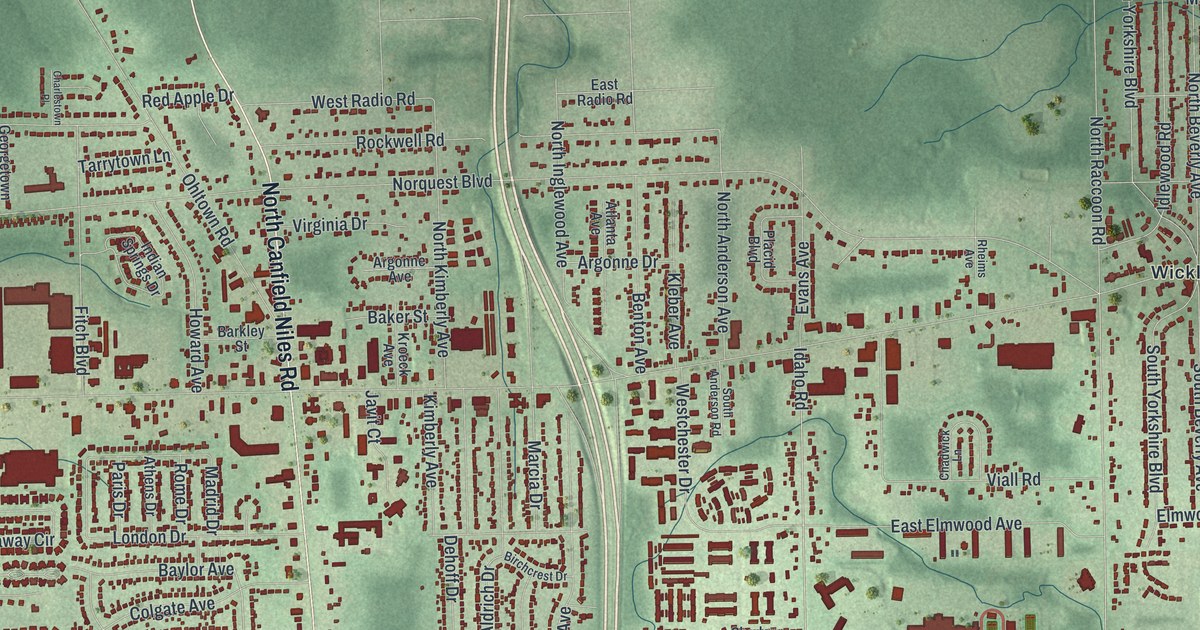
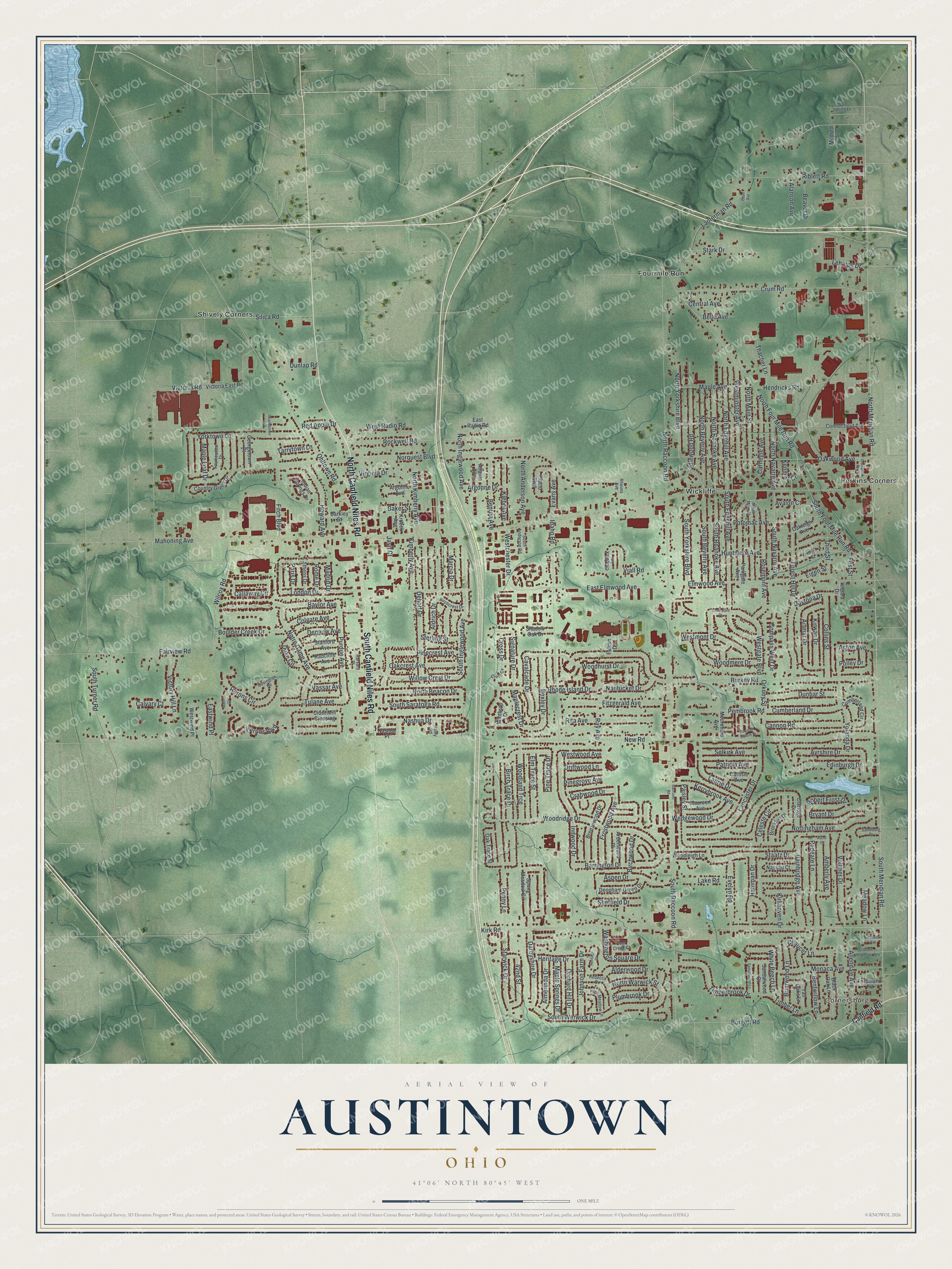
This beautifully detailed map of Austintown, Ohio was created in 2026 using aerial imagery combined with modern topographical, census, street and landmark data. It’s a one-of-a-kind view of Austintown that combines accurate data with a vintage aesthetic. The map shows every building in its true location, many of the roads carry their names, and the shaded topographic relief shows the shape of the land.
Explore an aerial view of Austintown, Ohio
On the map you’ll find Cornersburg, Fourmile Run, Perkins Corners, Shively Corners, and Wickliffe, along with North Canfield Niles Road, South Canfield Niles Road, South Meridian Road, North Meridian Road, Wilcox Road, North Four Mile Run Road, Kirk Road, and more. If you look closely you can even find your house accurately drawn in its correct location. Zoom in on the preview to look for yours.
Did you know this piece of Austintown, Ohio history?
From the 1907 history of Youngstown and Mahoning County, Ohio: "The first store in Austintown Center was kept by Alexander Thompson about 1822."
Take a closer look at the Austintown map
Street and place names on the Austintown, Ohio map
These names are printed on the map of Austintown, Ohio.
Places: Cornersburg, Fourmile Run, Perkins Corners, Shively Corners and Wickliffe.
Streets and roads: North Canfield Niles Road, South Canfield Niles Road, South Meridian Road, North Meridian Road, Wilcox Road, North Four Mile Run Road, Kirk Road, Idaho Road, South Edgehill Avenue, Innwood Drive, Willow Crest Drive, South Raccoon Road.
More street names, A to Z
42nd Street, Acton Avenue, Alanson Avenue, Alderwood Drive, Aldrich Drive, Allendale Avenue, Almerinda Drive, Amberly Avenue, Ardenwood Place, Argonne Avenue, Argonne Drive, Artmar Drive, Ascot Court, Aspen Drive, Athens Drive, Atlanta Avenue, Avalon Court, Ayrshire Drive, Bainbridge Avenue, Baker Street, Barkley Street, Barrington Drive, Baylor Avenue, Beaver Drive, Belle Avenue, Benton Avenue, Bentwillow Lane, Bexley Drive, Birchcrest Drive, Birch Trace Drive, Birchwood Drive, Black Oak Lane, Boulder Creek Drive, Breezewood Drive, Briarwood Lane, Brockton Drive, Bryant Drive, Burgett Road, Burkey Road, Callaway Circle, Calvary Court, Canfield Road, Cannon Road, Carlisle Avenue, Carnegie Avenue, Cavalcade Drive, Celeste Circle, Central Avenue, Chadwick Lane, Charlestown Place, Chaucer Lane, Cider Mill Crossing, Claridge Drive, Colgate Avenue, Collins Street, Compass West Drive, Connecticut Avenue, Country Green Drive, Covington Cv, Crabwood Drive, Cross Cv, Cross Drive, Crum Road, Cumberland Circle, Cumberland Drive, Darbyshire Drive, Daytona Drive, Deer Creek Court, Dehoff Drive, Deopham Green Drive, Depauw Avenue, Driftwood Lane, Duke Circle, Dunbar Street, Dunlap Road, East Elmwood Avenue, East Radio Road, Eastwind Place, Edinburgh Drive, Eigen Street, Elm Trace Street, Elmwood Avenue, Evans Avenue, Evelyn Road, Fairmeadow Drive, Fairview Road, Falcon Drive, Ferdinand Road, First Street, Fitch Boulevard, Fitzgerald Avenue, Forest Hill Drive, Fountain Square Drive, Frederick Street, Frostwood Avenue, Georgetown Place, Hamman Drive, Harvard Place, Hasty Road, Hendricks Road, Heritage Court, Heritage Drive, Herons Boulevard, Herons Circle, High Meadow Drive, Howard Avenue, Huntmere Avenue, Idlewood Road, Impala Drive, Indian Springs Drive, Javit Court, Johnson Farm Drive, Kenmar Court, Kerrybrook Avenue, Kimberly Avenue, Kirkhaven Drive, Kirwan Drive, Kleber Avenue, Kroeck Avenue, Lake Road, Lancaster Drive, Lanterman Road, Laurie Drive, Leharps Drive, Lexington Place, London Drive, Madrid Drive, Mahoning Avenue, Mallard Court, Maple Avenue, Maplecrest Drive, Maple Leaf Drive, Maple Springs Drive, Marcia Drive, Maureen Avenue, Meadow Lane, Mildred Street, Monaca Avenue, Moorefield Avenue, Nantucket Drive, Nashua Drive, Nashua Place, Nassau Court, New Road, Norquest Boulevard, North Anderson Avenue, North Beacon Drive, North Beverly Avenue, North Edgehill Avenue, North Inglewood Avenue, North Kimberly Avenue, North Main Street, North Navarre Avenue, North Raccoon Road, North Roanoke Avenue, North Warwick Street, Northwood Avenue, North Yorkshire Boulevard, Notre Dame Avenue, Nottingham Avenue, Oakcrest Avenue, Oakleigh Avenue, Oak Trace Street, Oakwood Avenue, Oden Avenue, Ohltown Road, Orchard Hill Drive, Orkney Street, Paisley Street, Paris Drive, Parkgate Avenue, Patricia Avenue, Pembrook Road, Penny Lane, Pinecrest Avenue, Pinegrove Avenue, Pine Trace Drive, Placid Boulevard, Plumbrook Drive, Polley Drive, Potomac Avenue, Purdue Avenue, Raccoon Road, Radcliffe Avenue, Ray Avenue, Rebecca Drive, Red Apple Drive, Redgate Lane, Rheims Avenue, Rhode Island Drive, Riblett Road, Rita Avenue, Robert Frost Drive, Rockwell Road, Rome Drive, Rosemont Avenue, Salt Spring Drive, Sandalwood Court, Sandalwood Lane, Sandburg Drive, Selkirk Avenue, Shadow Oak Drive, Sheffield Drive, Signature Drive, Silica Road, South Anderson Road, South Beverly Avenue, South Four Mile Run Road, South Inglewood Avenue, South Main Street, South Navarre Avenue, South Roanoke Avenue, South Saratoga Road, South Turner Road, Southward Drive, South Warwick Drive, South Wendover Avenue, South Yorkshire Boulevard, Spring Meadow Circle, Staatz Drive, Stanford Avenue, Stark Drive, Starwick Drive, Sterling Street, Tall Oaks Lane, Tarrytown Lane, Thacher Lane, Third Street, Timberbrook Drive, Timber Lane, Tulane Avenue, Vassar Avenue, Viall Road, Victoria East Road, Victoria Road, Victory Hill Lane, Virginia Drive, Vollmer Drive, Washington Square Drive, Wedgewood Drive, Westchester Drive, Westgate Boulevard, Westminster Avenue, Westmont Drive, West Radio Road, Westwind Place, Westwood Avenue, White Beech Lane, Winthrop Drive, Woodhurst Drive, Woodland Trce, Woodleigh Lane, Woodmere Drive, Woodridge Drive, Yolanda Drive, Yorktown Lane.
See the Austintown, Ohio map on a wall
The Austintown map as an 18 x 24 inch print in a black frame.

This beautifully detailed map of Austintown makes an attractive addition to your office, library, or den, and it can even be used to teach children the geography and history of the area. It also makes a great gift for anyone who grew up in Austintown or moved away. When you’re done exploring, click here to get your copy of the Austintown map.