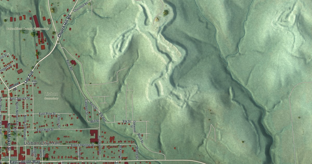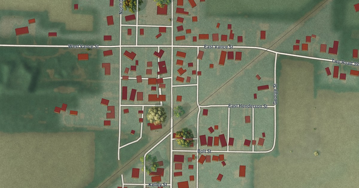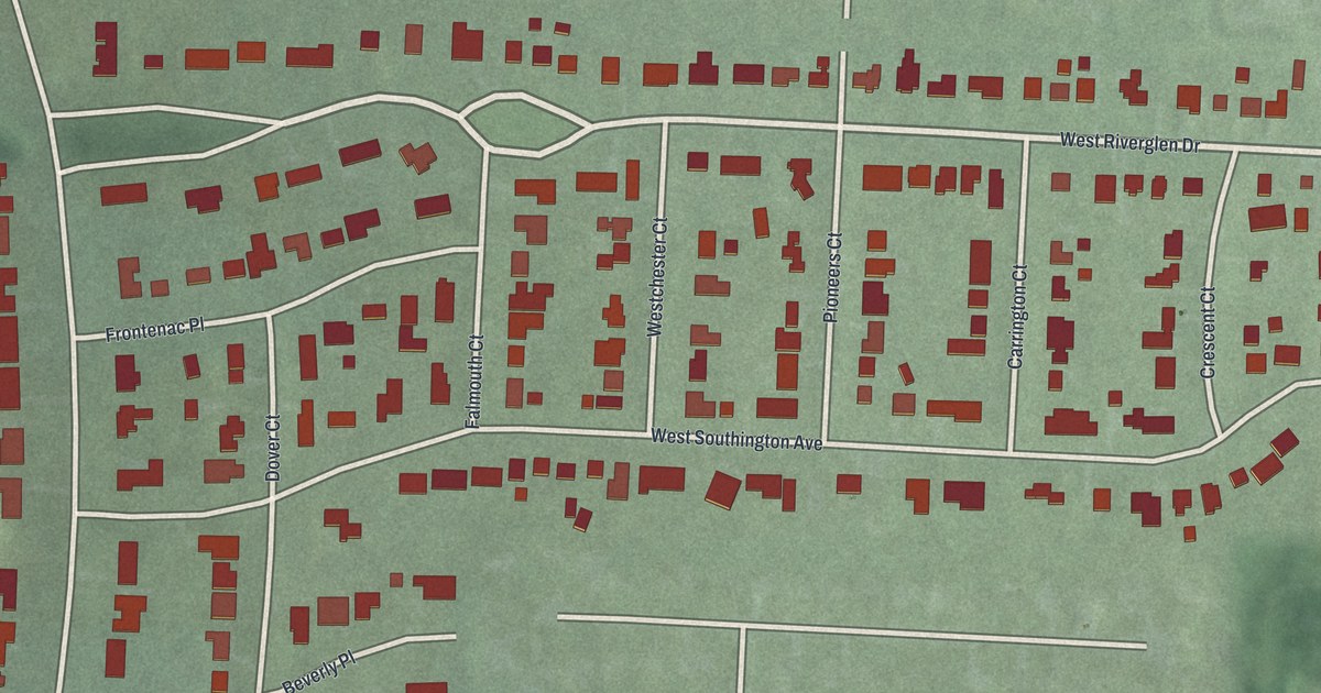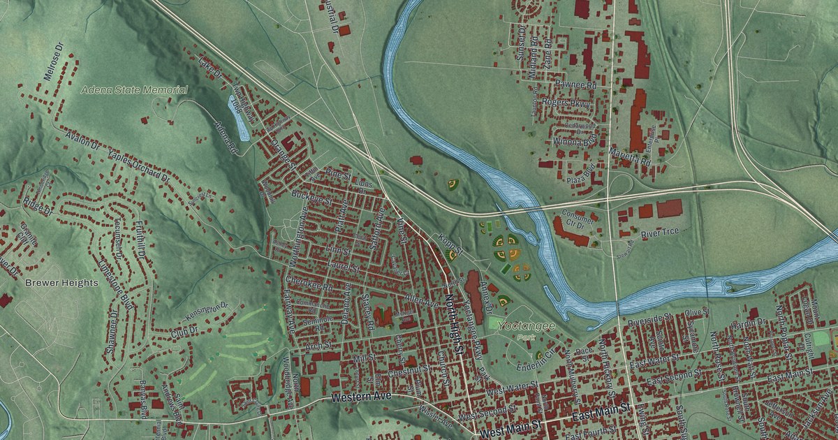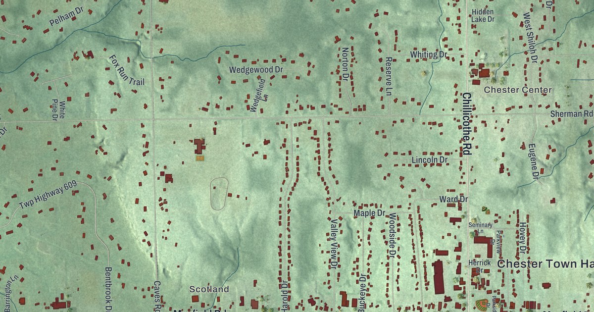
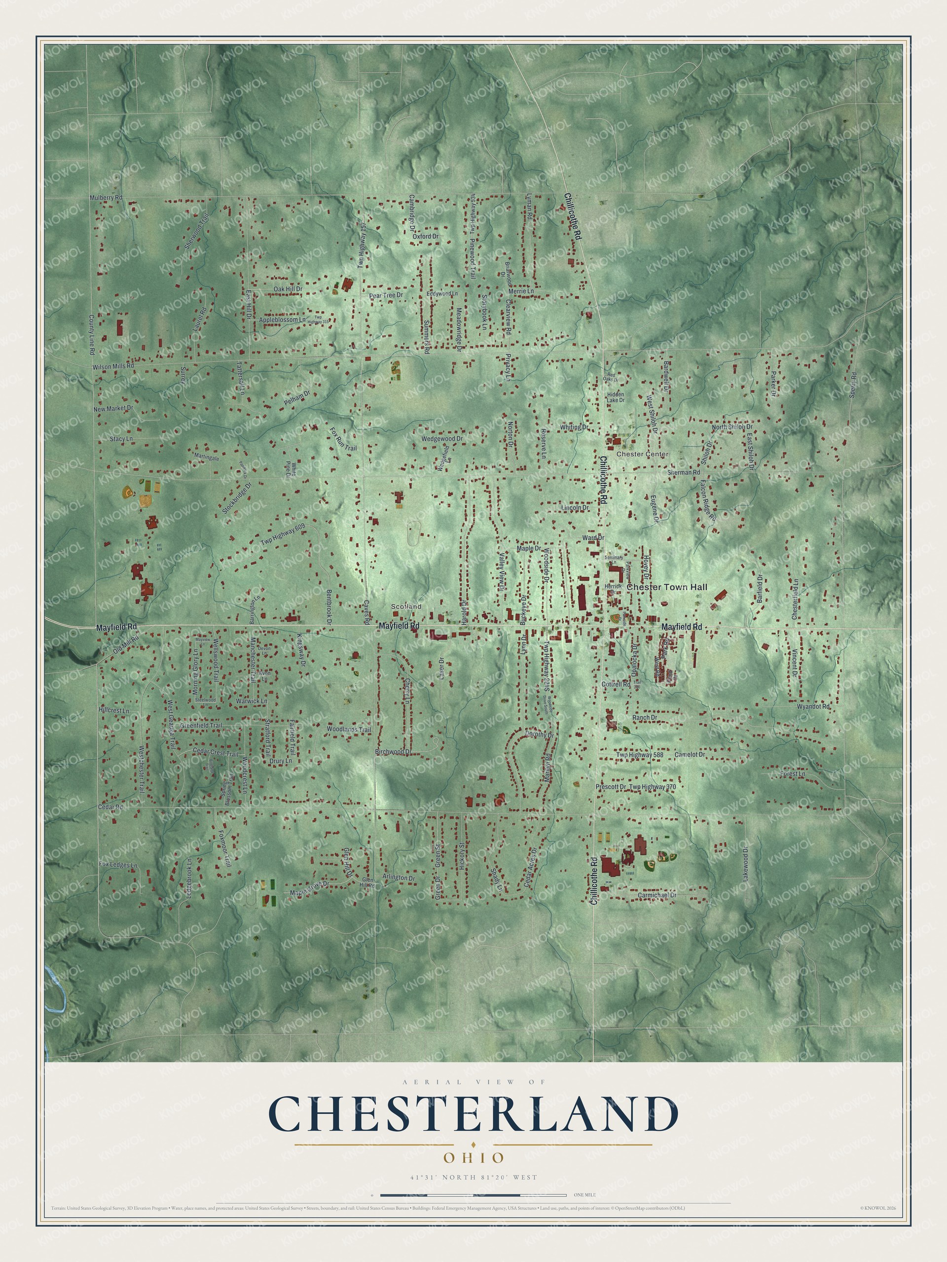
This beautifully detailed map of Chesterland, Ohio was created in 2026 using aerial imagery combined with modern topographical, census, street and landmark data. It's a modern aerial view of Chesterland in Geauga County, Ohio, that combines modern data with a vintage aesthetic. The roads feature printed names, and if you look closely you can find your exact house accurately shown in its correct location.
Explore an aerial view of Chesterland, Ohio
On this map you'll find Chester Town Hall, Chester Center, Scotland, Mayfield Road, Chillicothe Road, Park Road, County Line Road, Clearview Road, Drury Lane, Morning Glory Lane, Wilson Mills Road, Sherman Road, and more. Each red shape is a building, so zoom in on the preview and look for yours.
Every town has a first chapter, and Chesterland is no exception. The Chester Township puts it this way: "On February 10th, 1811, David Hudson, the father of William donated 6 ¼ acres of land at the northeast corner of Chillicothe & Mayfield (The Crossroads) to the inhabitants, to be used as a public square, a public parade ground and for public buildings forever and never to be enclosed or transferred."
Chesterland is a community in Geauga County. The Census Bureau counted 7,074 people here in 2020.
Take a closer look at the Chesterland map
Names on this map
These names are printed on this map.
Places: Chester Town Hall, Chester Center and Scotland.
Streets and roads: Mayfield Road, Chillicothe Road, Park Road, County Line Road, Clearview Road, Drury Lane, Morning Glory Lane, Wilson Mills Road, Sherman Road, Cedar Road, Caves Road, Sperry Road.
More street names, A to Z
Appleblossom Lane, Arlington Drive, Avon Lane, Bardwell Drive, Barfield Drive, Barrington Lane, Bentbrook Drive, Birchwood Drive, Birdland Trail, Briarwood Drive, Buckeye Drive, Cambridge Drive, Camelot Drive, Carmichael Drive, Cedar Acres Drive, Cedar Crest Trail, Cherry Lane, Chesterfield Lane, Cottrell Road, Devon Lane, Dorothy Drive, East Hill Drive, East Shiloh Drive, Eddywood Lane, Eugene Drive, Fairfield Trail, Falcon Ridge Road, Forest Lane, Fox Ledges Lane, Foxmoor Trail, Fox Run Trail, Glen Hill Drive, Glen Hill Road, Green Drive, Greenfield Trail, Green Street, Harold Drive, Herrick Drive, Hickory Street, Hidden Lake Drive, Hillcrest Lane, Hovey Drive, Kingsway Drive, Lakewood Drive, Laser Drive, Laurel Road, Ledgebrook Lane, Lincoln Drive, Lyman Road, Lynn Drive, Manchester Trail, Maple Drive, Maple Grove Drive, Marilyn Road, Martingale, Mayview Lane, Meadowridge Drive, Merrie Lane, Mulberry Road, New Market Drive, North Shiloh Drive, Norton Drive, Oak Hill Drive, Old Mill Road, Opalocka Drive, Oxford Drive, Paddock Drive, Parker Drive, Parkside Drive, Parkview Drive, Pear Tree Drive, Pelham Drive, Pinewood Trail, Pond Drive, Prescott Drive, Privacy Lane, Ranch Drive, Red Oaks Drive, Reserve Lane, Seminary Lane, Shady Lane, Sherwood Trail, Shiloh Drive, Spring Blossom Trail, Stacy Lane, Steelwood Lane, Stockbridge Drive, Storybook Lane, Stratford Trail, Summers Road, Surrey, Tattersall Lane, Trail 230, Twp Highway 157, Twp Highway 315, Twp Highway 370, Twp Highway 534, Twp Highway 588, Twp Highway 609, Valley View Drive, Vincent Drive, Ward Drive, Warwick Lane, Wedgefield Lane, Wedgewood Drive, Wellswood Trail, Westchester Trail, West Geauga Trail, West Road, West Shiloh Drive, White Pine Drive, Whiting Drive, Woodcrest Lane, Woodlands Trail, Woodside Drive, Woodside Drive South, Wyandot Road.
Created by KNOWOL in 2026. The buildings are small red shapes, the roads carry their printed names, and shaded relief shows the shape of the land. The title panel reads "AERIAL VIEW OF CHESTERLAND OHIO" with 4, 1, °, 3, 1, ', , N, O, R, T, H, , 8, 1, °, 2, 0, ', , W, E, S, T.
Hang it in the hallway, the office or the cabin, or give it to someone who left Chesterland and still calls it home. Open the preview and look for a street you know. See sizes and frames for the Chesterland map.