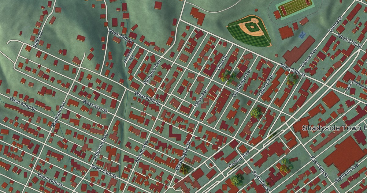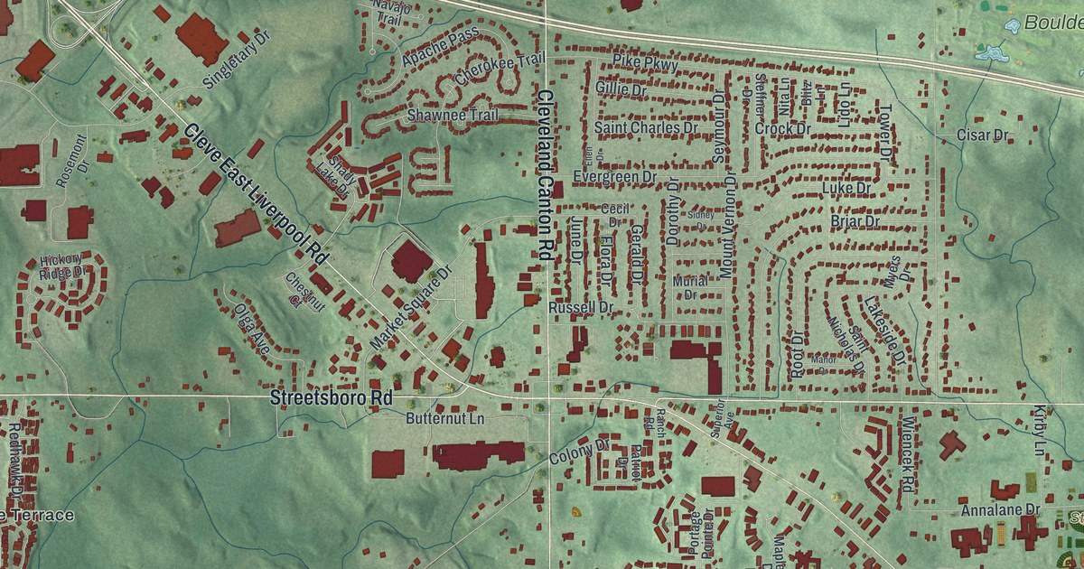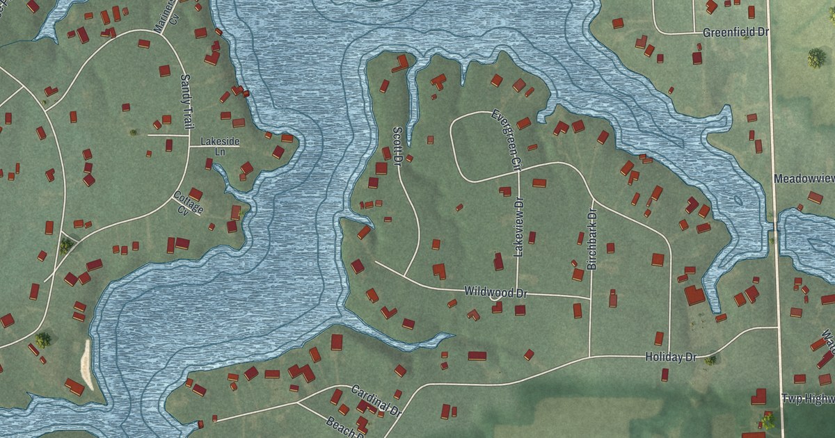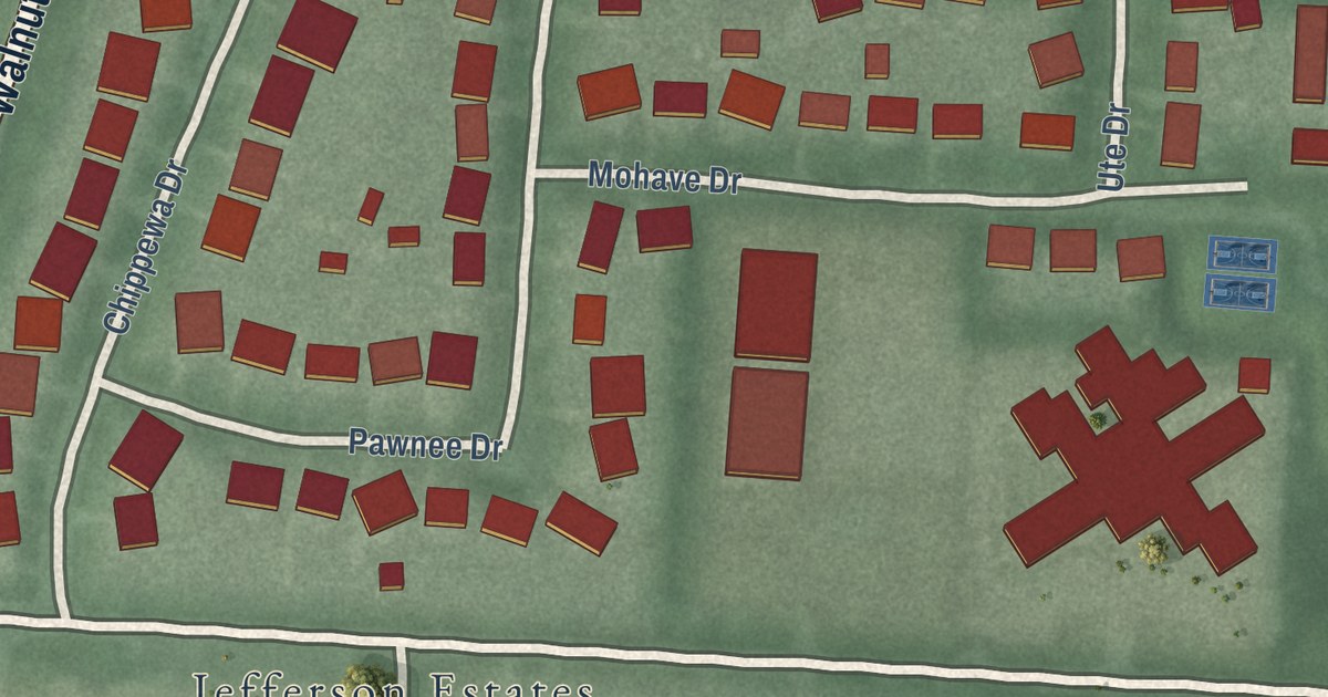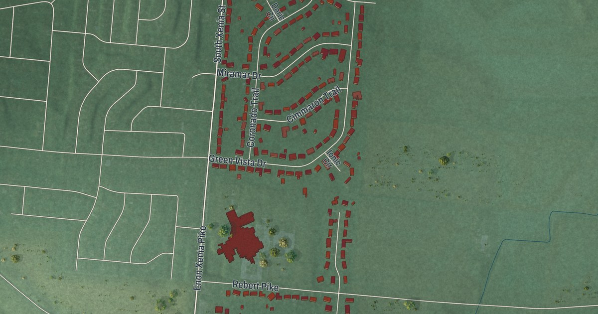
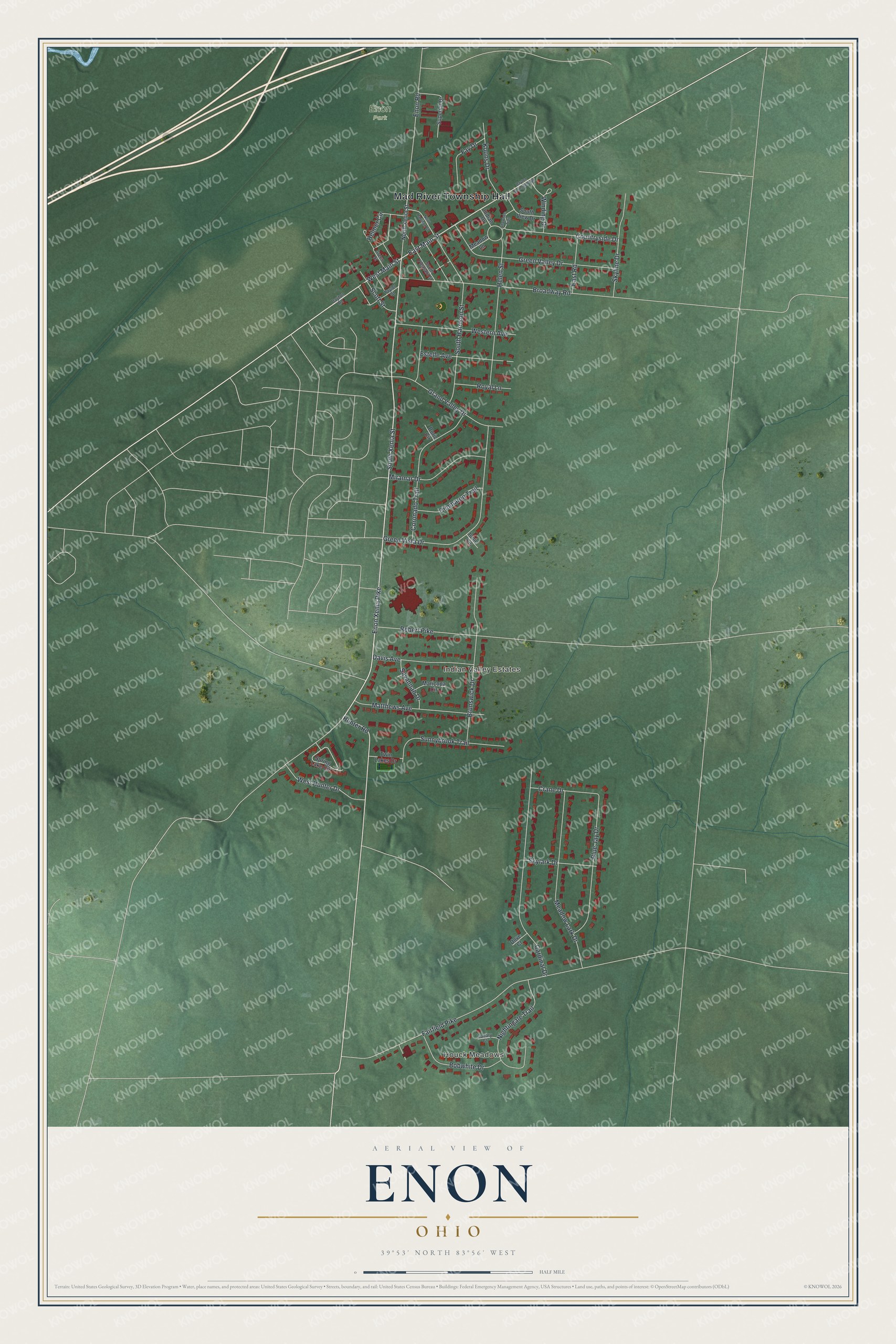
This beautifully detailed map of Enon, Ohio was created in 2026 using aerial imagery combined with modern topographical, census, street and landmark data. It’s a one-of-a-kind view of Enon that combines accurate data with a vintage aesthetic. The map shows every building in its true location, many of the roads carry their names, and the shaded topographic relief shows the shape of the land.
Explore an aerial view of Enon, Ohio
On the map you’ll find Mad River Township Hall, Houck Meadows, Indian Valley Estates, and Enon Park, along with South Xenia Street, East Main Street, Hunter Road, West Main Street, Enon Xenia Pike, Fairfield Pike, Broadway Road, Cardinal Drive, and more. If you look closely you can even find your house accurately drawn in its correct location. Zoom in on the preview to look for yours.
Did you know this piece of Enon, Ohio history?
From the History of Clark County: "About 1806, Dewitt settled near where the Enon Station is now located; removed after a short time, and joined the Shakers. About the same time, Daniel Mead came from Massachusetts and settled also near the present site of the Enon railroad station."
Take a closer look at the Enon map
Street and place names on the Enon, Ohio map
These names are printed on the map of Enon, Ohio.
Places: Mad River Township Hall, Houck Meadows, Indian Valley Estates and Enon Park.
Streets and roads: South Xenia Street, East Main Street, Hunter Road, West Main Street, Enon Xenia Pike, Fairfield Pike, Broadway Road, Cardinal Drive, Green Vista Drive, Meadow Lark Drive, Green Valley Drive, South Harrison Street.
More street names, A to Z
Blue Jay Drive, Bobwhite Drive, Brunswick Drive, Canary Court, Cimmaron Trail, Coronado Trail, Countryside Drive, Crane Drive, Davis Avenue, Dayton Road, Dayton Springfield Road, Doric Circle, Dove Court, East Road, Enon Road, Estelle Avenue, Fay Drive, Grand Valley Drive, Green Street, Helen Street, Helmer Circle, Indian Drive, Ionic Circle, Koons Drive, Maricopa Circle, Matthews Avenue, Meadow Lane, Miramar Drive, Nightingale Trail, North Harrison Street, North Xenia Street, Rebert Pike, Royal Lane, Savannah Drive, Scott Street, Shawnee Trail, Skylark Drive, Skyline Drive, South Pleasant Street, South View Drive, Spring Lake Circle, Sunnybrook Trail, Superior Drive, Taylor Street, Twin Lakes Drive, Western Avenue, West Hunter Drive, Winding Drive.
See the Enon, Ohio map on a wall
The Enon map as an 18 x 24 inch print in a black frame.

This beautifully detailed map of Enon makes an attractive addition to your office, library, or den, and it can even be used to teach children the geography and history of the area. It also makes a great gift for anyone who grew up in Enon or moved away. When you’re done exploring, click here to get your copy of the Enon map.