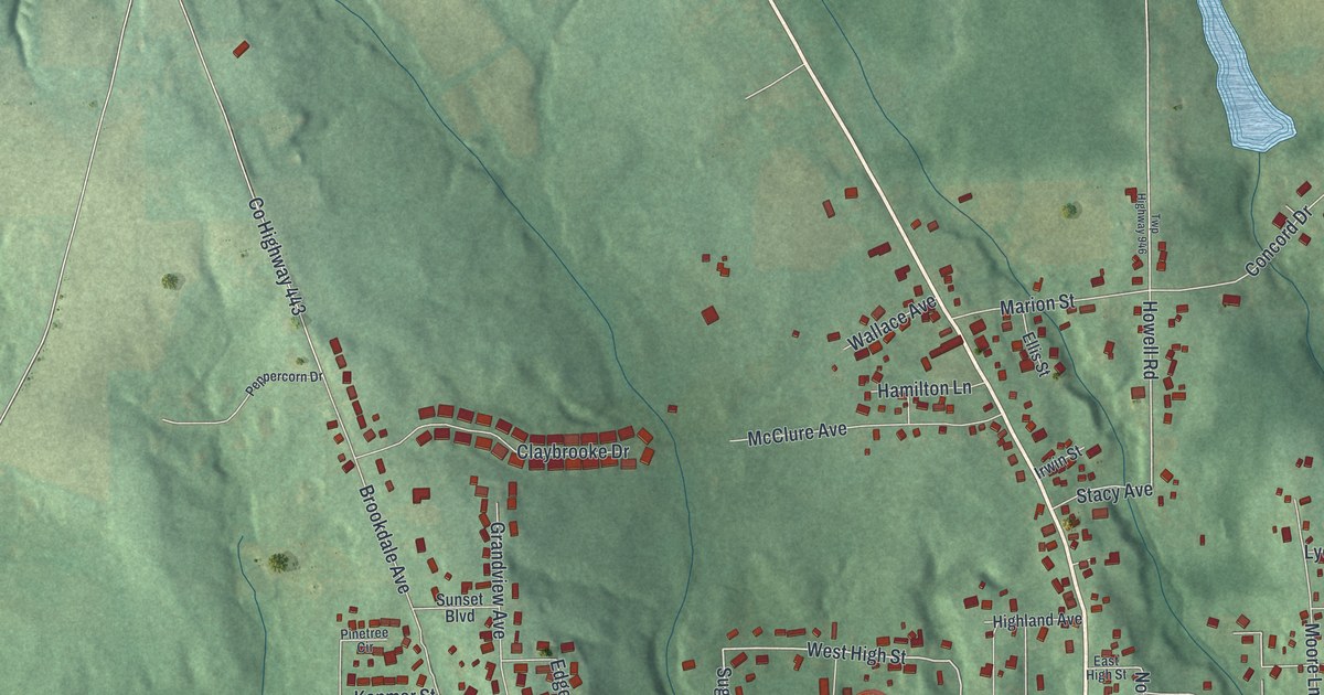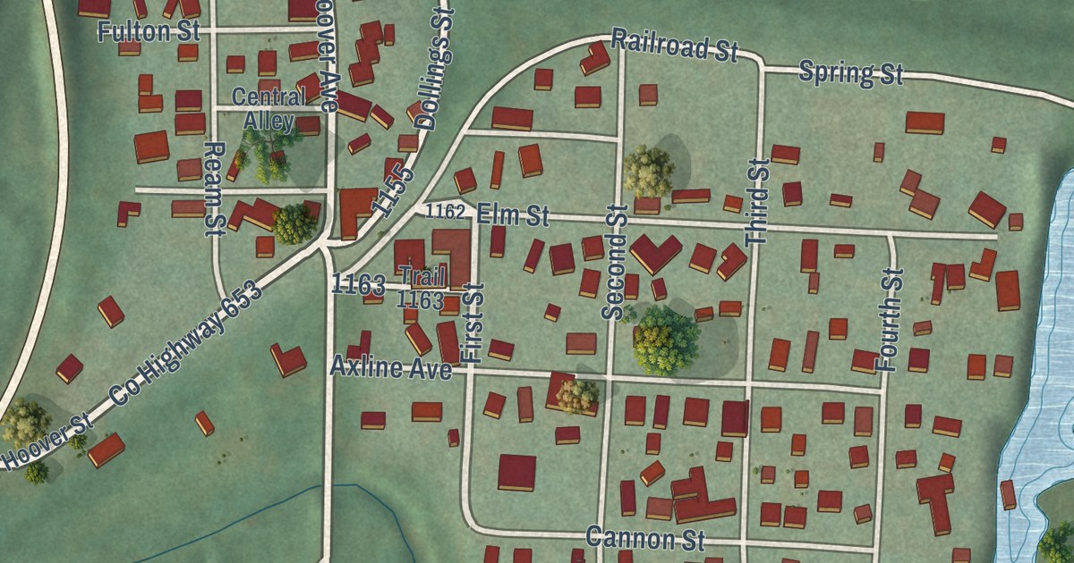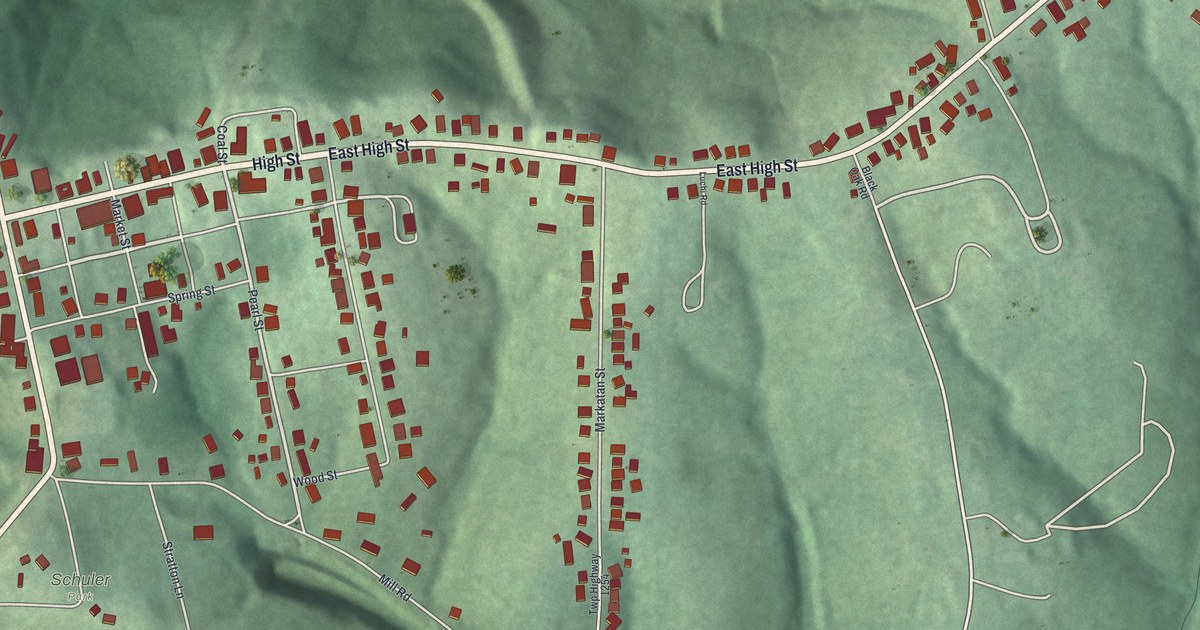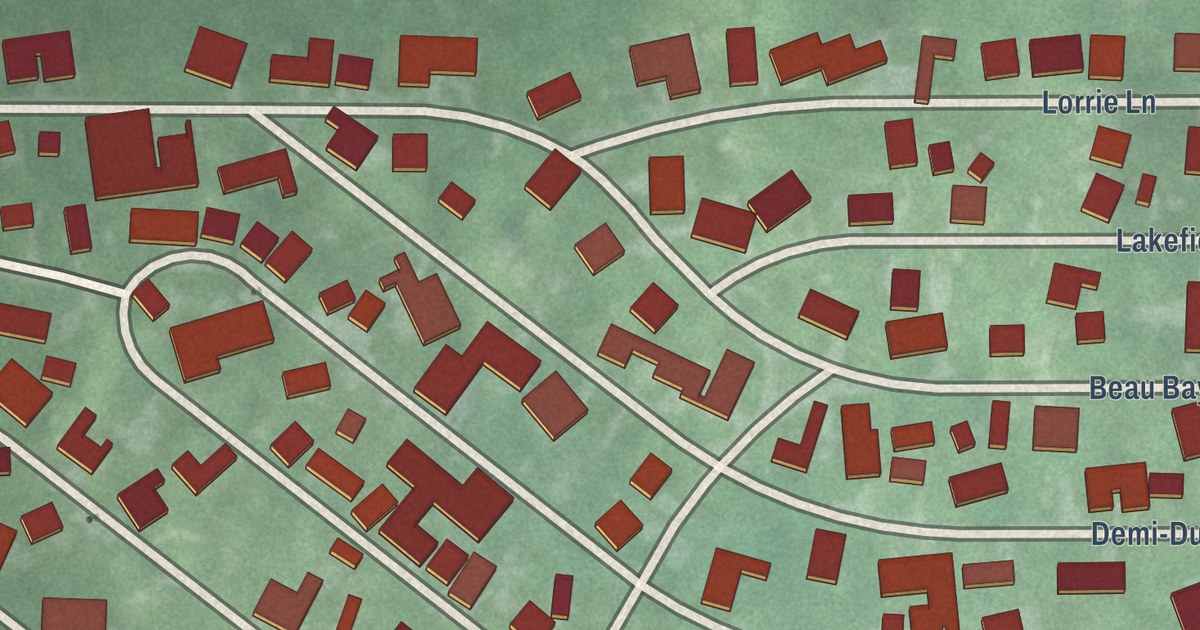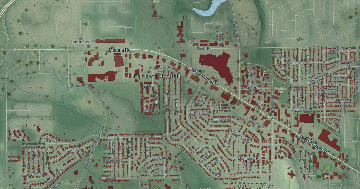
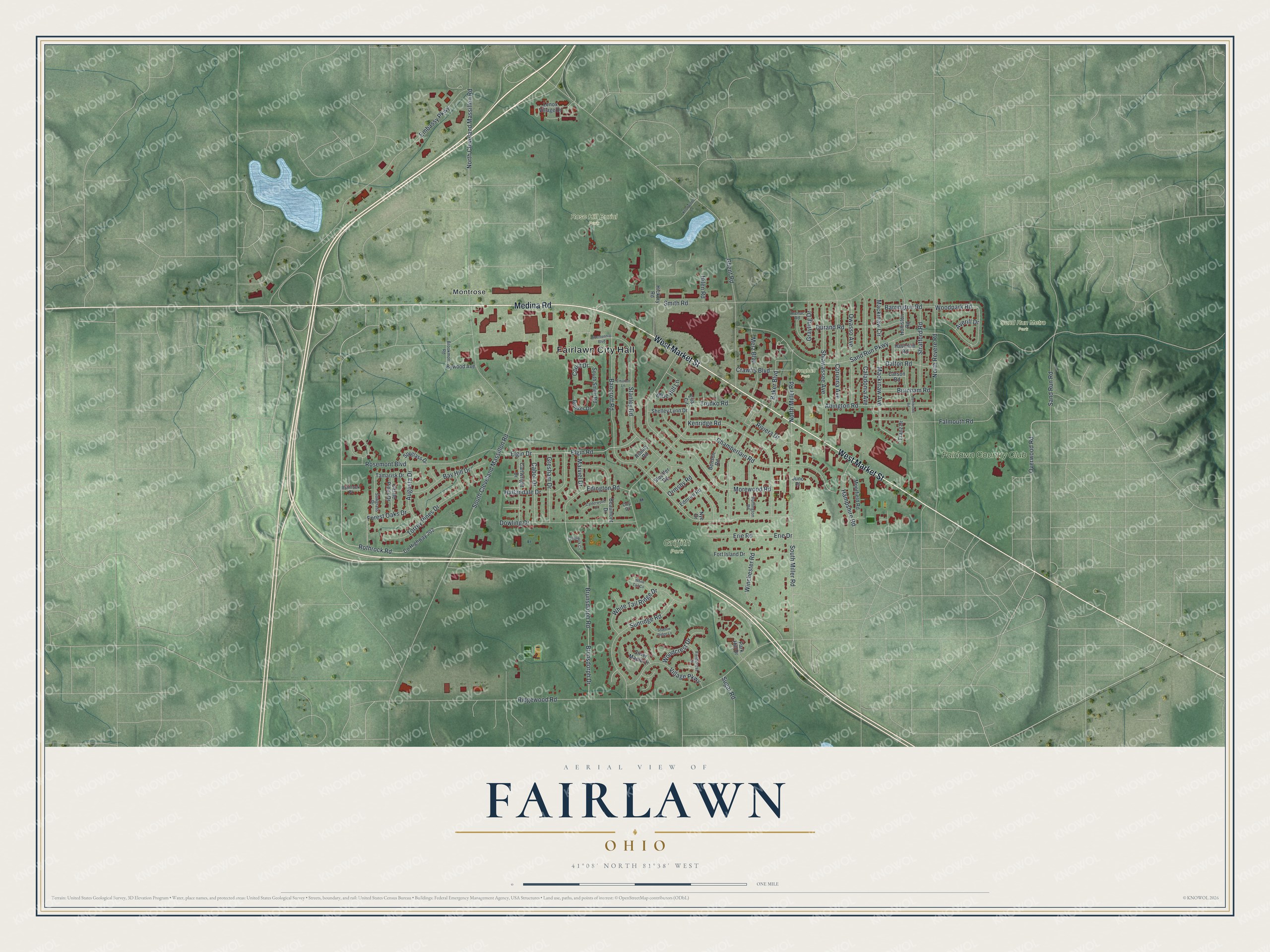
This beautifully detailed map of Fairlawn, Ohio was created in 2026 using aerial imagery combined with modern topographical, census, street and landmark data. It’s a one-of-a-kind view of Fairlawn that combines accurate data with a vintage aesthetic. The map shows every building in its true location, many of the roads carry their names, and the shaded topographic relief shows the shape of the land.
Explore an aerial view of Fairlawn, Ohio
On the map you’ll find Fairlawn City Hall, Griffith Park, Rose Hill Burial Park, Sand Run Metro Park, Croghan Park, Montrose, and Fairlawn Country Club, along with Medina Road, West Market Street, Overwood Road, Rothrock Road, South Cleveland Massillon Road, and more. If you look closely you can even find your house accurately drawn in its correct location. Zoom in on the preview to look for yours.
Did you know this piece of Fairlawn, Ohio history?
Fairlawn began with the railroad. When the Northern Ohio Railroad was built through Copley Township in 1891, it gave the farm township a new outlet. The line also started a new hamlet called Fairlawn. By 1908 the young settlement had a mill, a general store and a blacksmith shop. That’s from William B. Doyle’s 1908 Centennial History of Summit County, Ohio and Representative Citizens.
Take a closer look at the Fairlawn map
Street and place names on the Fairlawn, Ohio map
These names are printed on the map of Fairlawn, Ohio.
Places: Fairlawn City Hall, Griffith Park, Rose Hill Burial Park, Sand Run Metro Park, Croghan Park, Montrose and Fairlawn Country Club.
Streets and roads: Medina Road, West Market Street, Overwood Road, Rothrock Road, South Cleveland Massillon Road, Ridgewood Road, Sand Run Parkway, Bancroft Road, Embassy Parkway, Smith Road, Ghent Road, Stanley Road.
More street names, A to Z
Abington Road, Arenac Road, Asbury Road, Augusta Drive, Averill Drive, Baker Boulevard, Barrington Road, Bay Hill Drive, Beaumont Drive, Benson Road, Bicentennial Boulevard, Blue Hill Lane, Brookmont Road, Brunsdorph Drive, Brunsdorph Road, Buffington Road, Bunker Drive, Burnham Road, Bywood Avenue, Cabot Drive, Caladonia Avenue, Calderwood Drive, Carson Road, Cartwright Drive, Castle Pines Drive, Chamberlain Road, Corunna Avenue, County Highway 202, Court Drive, Coy Drive, Crawfis Boulevard, Dalton Road, Dowling Drive, Durand Road, Edington Road, Edmore Road, Elgin Drive, Elgin Road, Elia Circle, Emanon Lane, Erie Drive, Erie Road, Falmouth Road, Fieldcrest Drive, Forest Oaks Drive, Fort Island Drive, Franz Drive, Grayling Drive, Gresham Drive, Hallandale Drive, Hampshire Road, Haverhill Road, Hickory Road, Hilen Road, Holliston Road, Juno Place, Kenridge Road, Knollwood Lane, Ledgewick Circle, Lenox Village Drive, Mackinaw Avenue, Mackinaw Circle, Marviel Drive, Merz Boulevard, Moorfield Road, Morewood Road, North Cleveland Massillon Road, North Miller Road, North Revere Road, Nye Drive, Ormsby Road, Owasso Avenue, Park Hill Drive, Pembroke Road, Riviera Drive, Rosemont Boulevard, Rothrock Place, Sand Run Road, Sawgrass Drive, Shadow Ridge Lane, Shelley Lynn Drive, Shiawassee Avenue, Silver Maple Drive, South Miller Road, South Smith Road, Spyglass Drive, Stouffer Road, Stratford Road, Sugar Road, Sunridge Road, Tamarisk Drive, Torrey Pines Drive, Trunko Road, Village Parkway, White Tail Circle, White Tail Ridge Drive, Winchester Road, Woodcrest Drive, Woodpark Road.
See the Fairlawn, Ohio map on a wall
The Fairlawn map as an 18 x 24 inch print in a black frame.

This beautifully detailed map of Fairlawn makes an attractive addition to your office, library, or den, and it can even be used to teach children the geography and history of the area. It also makes a great gift for anyone with Fairlawn roots. When you’re done exploring, click here to get your copy of the Fairlawn map.