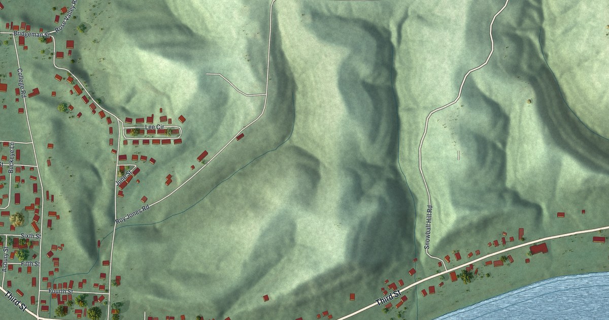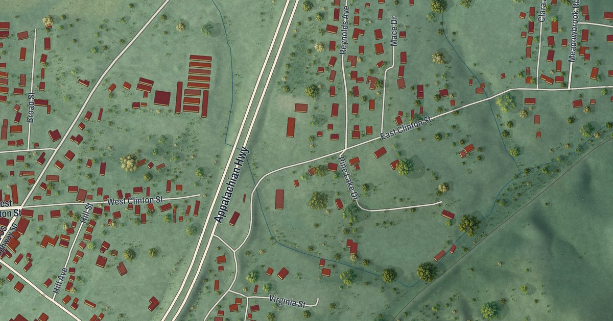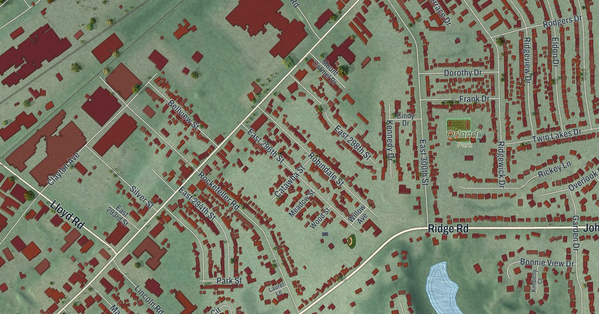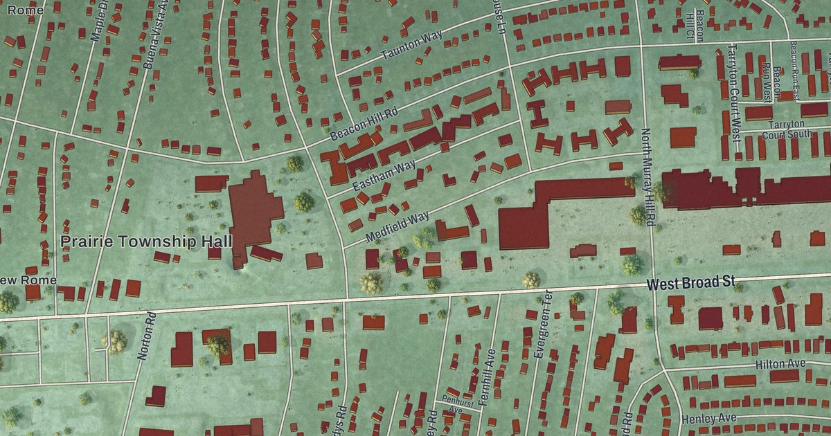
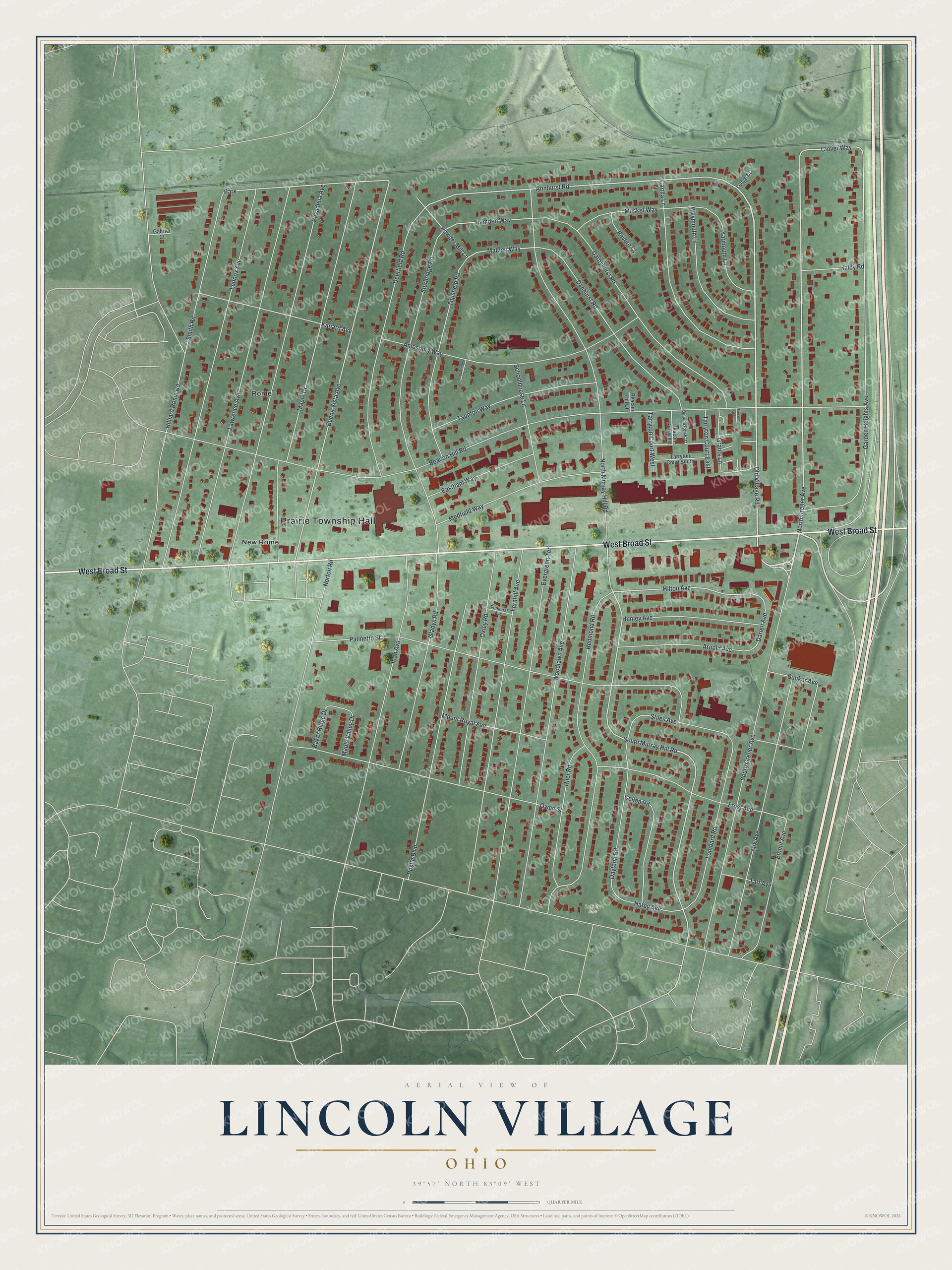
This beautifully detailed map of Lincoln Village, Ohio was created in 2026 using aerial imagery combined with modern topographical, census, street and landmark data. It’s a one-of-a-kind view of Lincoln Village that combines accurate data with a vintage aesthetic. The map shows every building in its true location, many of the roads carry their names, and the shaded topographic relief shows the shape of the land.
Explore an aerial view of Lincoln Village, Ohio
On the map you’ll find Prairie Township Hall, Lakota Park, New Rome, and Rome, along with West Broad Street, South Grener Avenue, Old Village Road, North Grener Avenue, South Murray Hill Road, Annhurst Road, Clover Way, Hilton Avenue, and more. If you look closely you can even find your house accurately drawn in its correct location. Zoom in on the preview to look for yours.
Did you know this piece of Lincoln Village, Ohio history?
Murray Lincoln led the company that became Nationwide Insurance, and he long dreamed of building a suburban village. His People’s Development Corporation was formed to build it west of Columbus. Bulldozers graded 1,270 acres of farmland in 1953. Lincoln Village began in 1955, planned for 10,000 people around a 20-acre civic center.
Take a closer look at the Lincoln Village map
Street and place names on the Lincoln Village, Ohio map
These names are printed on the map of Lincoln Village, Ohio.
Places: Prairie Township Hall, Lakota Park, New Rome, Rome and Park.
Streets and roads: West Broad Street, South Grener Avenue, Old Village Road, North Grener Avenue, South Murray Hill Road, Annhurst Road, Clover Way, Hilton Avenue, Darien Avenue, Malden Way, Buena Vista Avenue, Emmit Avenue.
More street names, A to Z
Amesbury Way, Arnold Avenue, Baker Ridge Drive, Beacon Hill Court, Beacon Hill Road, Beacon Run East, Beacon Run West, Bunker Avenue, Carilla Lane, Celina Road, Danhurst Road, Darbyhurst Road, Daytona Road, Deerfield Road, Eastham Way, Evergreen Terrace, Fernhill Avenue, Frost Avenue, Gabriel Court, Garden Heights Avenue, Gladys Road, Grants Lane, Hafey Avenue, Haldy Road, Hamden Way, Henley Avenue, Hiler Road, Hilliard Rome Road, Inah Avenue, Kanard Avenue, Lawrence Avenue, Lennox Avenue, Lincoln Green, Lodge Court, Lombard Road, Maple Drive, Maple Valley Drive, Medfield Way, Mix Avenue, Mount Royal Avenue, Musket Way, North Murray Hill Road, Norton Road, Owen Street, Oxley Road, Palmetto Street, Pasadena Avenue, Penhurst Avenue, Pepperridge Court, Postle Boulevard, Powder Mill Lane, Redmond Road, Revere Court, Schoolhouse Lane, Smith Road, Stiles Avenue, Sturbridge Road, Taft Avenue, Tarryton Court East, Tarryton Court South, Tarryton Court West, Taunton Way, Topsfield Road, Weymouth Lane, Woodlawn Avenue, Yarmouth Lane.
See the Lincoln Village, Ohio map on a wall
The Lincoln Village map as an 18 x 24 inch print in a black frame.

This beautifully detailed map of Lincoln Village makes an attractive addition to your office, library, or den, and it can even be used to teach children the geography and history of the area. It also makes a great gift for anyone with Lincoln Village roots. When you’re done exploring, click here to get your copy of the Lincoln Village map.