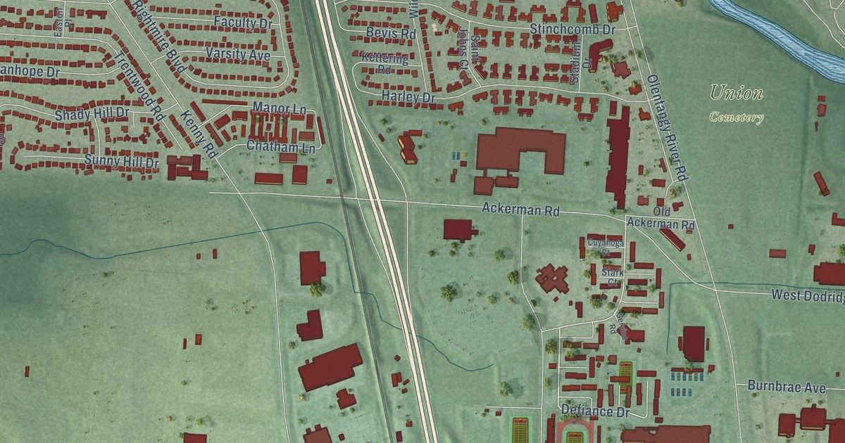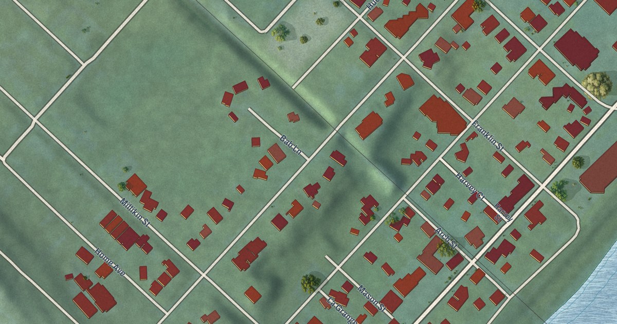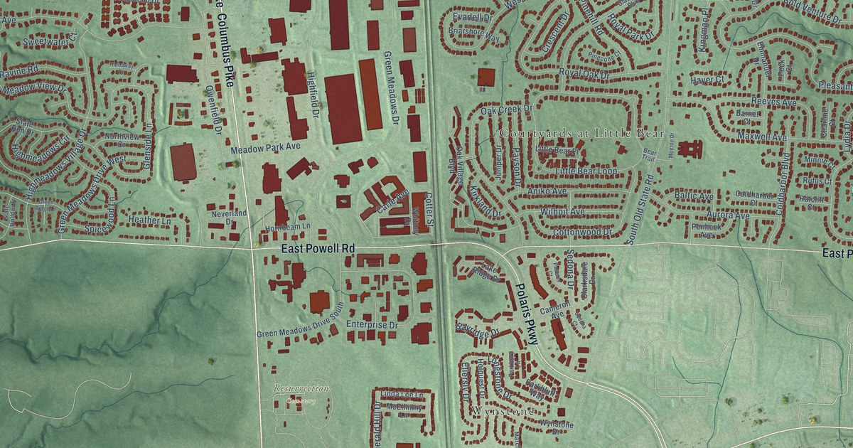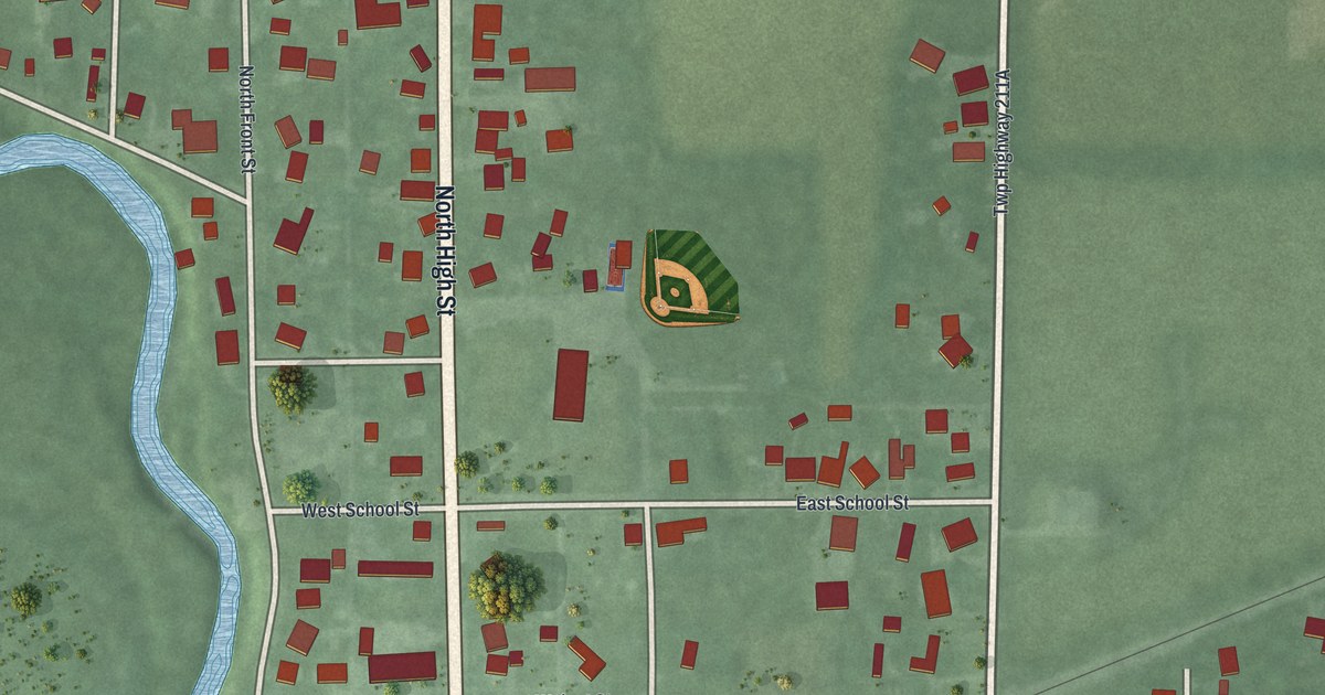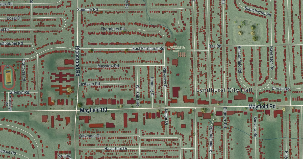
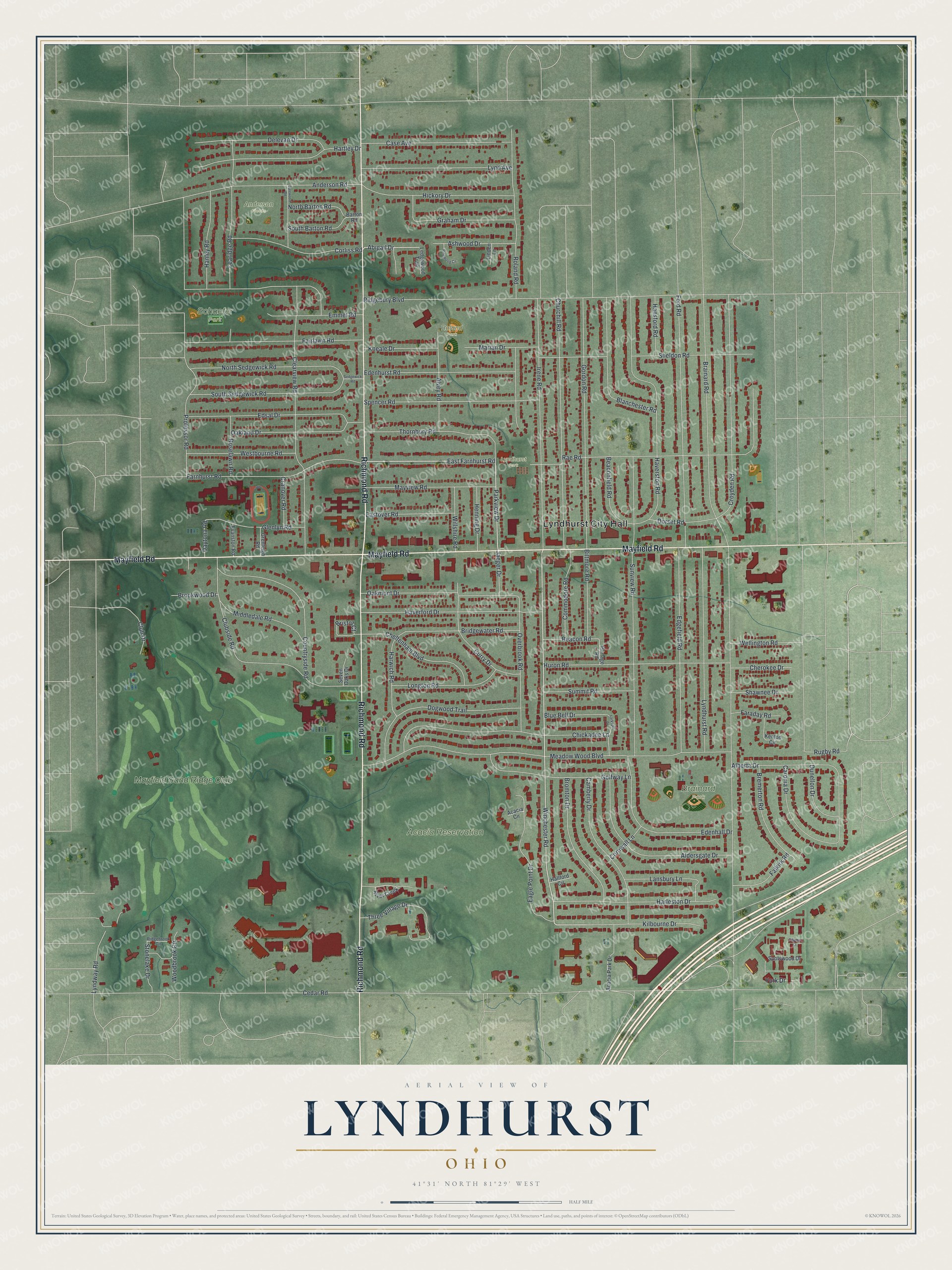
This beautifully detailed map of Lyndhurst, Ohio was created in 2026 using aerial imagery combined with modern topographical, census, street and landmark data. It’s a one-of-a-kind view of Lyndhurst that combines accurate data with a vintage aesthetic. The map shows every building in its true location, many of the roads carry their names, and the shaded topographic relief shows the shape of the land.
Explore an aerial view of Lyndhurst, Ohio
On the map you’ll find Lyndhurst City Hall, Acacia Reservation, Brainard Park, Lyndhurst Park, Schaefer Park, Anderson Fields, Roland Park, and Mayfield Sand Ridge Club, along with Richmond Road, Mayfield Road, Winchester Road, East Farnhurst Road, and more. If you look closely you can even find your house accurately drawn in its correct location. Zoom in on the preview to look for yours.
Did you know this piece of Lyndhurst, Ohio history?
From Case.edu: "LYNDHURST, incorporated as the village of Euclidville in 1917, was originally part of EUCLID TWP. It was renamed Lyndhurst in 1920 and incorporated as a city in 1951. The name, chosen in a high school contest, was a salute to Lyndhurst, NJ."
Take a closer look at the Lyndhurst map
Street and place names on the Lyndhurst, Ohio map
These names are printed on the map of Lyndhurst, Ohio.
Places: Lyndhurst City Hall, Acacia Reservation, Brainard Park, Lyndhurst Park, Schaefer Park, Anderson Fields, Roland Park and Mayfield Sand Ridge Club.
Streets and roads: Richmond Road, Mayfield Road, Winchester Road, East Farnhurst Road, Parkview Drive, Abigail Drive, Cedar Road, Brainard Road, Ridgebury Boulevard, Meadow Wood Boulevard, Sunview Road, Rae Road.
More street names, A to Z
Acacia Circle, Acacia Park Drive, Alberta Drive, Aldersgate Drive, Alvey Road, Anderson Road, Ashwood Drive, Barton Road, Beaconfield Road, Beacon Road, Biltmore Road, Blanchester Road, Blue Bell Drive, Bremerton Road, Bridgewater Road, Bristol Court, Bromton Drive, Brookwood Drive, Camberly Drive, Caronia Drive, Case Avenue, Cheltenham Boulevard, Cherokee Drive, Chickadee Lane, Churchill Road, Clearview Road, Club Drive, Clubside Road, Commodore Road, Corliss Road, Cornwall Lane, Countryside Road, Cranover Road, Croyden Road, Curry Drive, Dalewood Road, Daytona Road, Delevan Drive, Dogwood Trail, Dorset Road, Dunellon Drive, Eagle Point Drive, Eastover Road, Edenhall Drive, Edenhurst Road, Edgefield Road, Edsal Drive, Emmet Road, Evanston Road, Fairlawn Road, Falkirk Road, Faraday Road, Farnhurst Road, Ford Road, Glenlyn Road, Golfway Lane, Gordon Road, Graham Drive, Grenleigh Road, Hallford Circle, Hanley Road, Hansford Road, Harleston Drive, Hartley Drive, Harwich Road, Haverford Drive, Haverston Road, Henning Drive, Hickory Drive, Huron Road, Irene Road, Jaeger Drive, Kenton Circle, Kilbourne Drive, Kneale Drive, Lansbury Lane, Larkspur Drive, Learidge Road, Ledgewood Trail, Linden Lane, Longton Road, Lynd Avenue, Lyndhurst Road, Lyndway Road, Marian Drive, Mayview Road, Middledale Road, North Barton Road, North Sedgewick Road, Oakland Drive, Oakmont Drive, Overbrook Road, Pinewood Circle, Portage Road, Professor Road, Ridgebrook Circle, River Creek, Roland Road, Roselawn Road, Rugby Road, Sedgewick Road, Seven Oaks Drive, Shawnee Drive, Sheldon Road, South Barton Road, South Sedgewick Road, Spencer Road, Spotswood Drive, Stonelake Drive, Summit Road, Thornbury Road, Three Village Drive, Tiffany Court, Wellington Road, Westbourne Road, Willshire Road, Woodbrook Circle, York Drive.
See the Lyndhurst, Ohio map on a wall
The Lyndhurst map as an 18 x 24 inch print in a black frame.

This beautifully detailed map of Lyndhurst makes an attractive addition to your office, library, or den, and it can even be used to teach children the geography and history of the area. It also makes a great gift for anyone who grew up in Lyndhurst or moved away. When you’re done exploring, click here to get your copy of the Lyndhurst map.