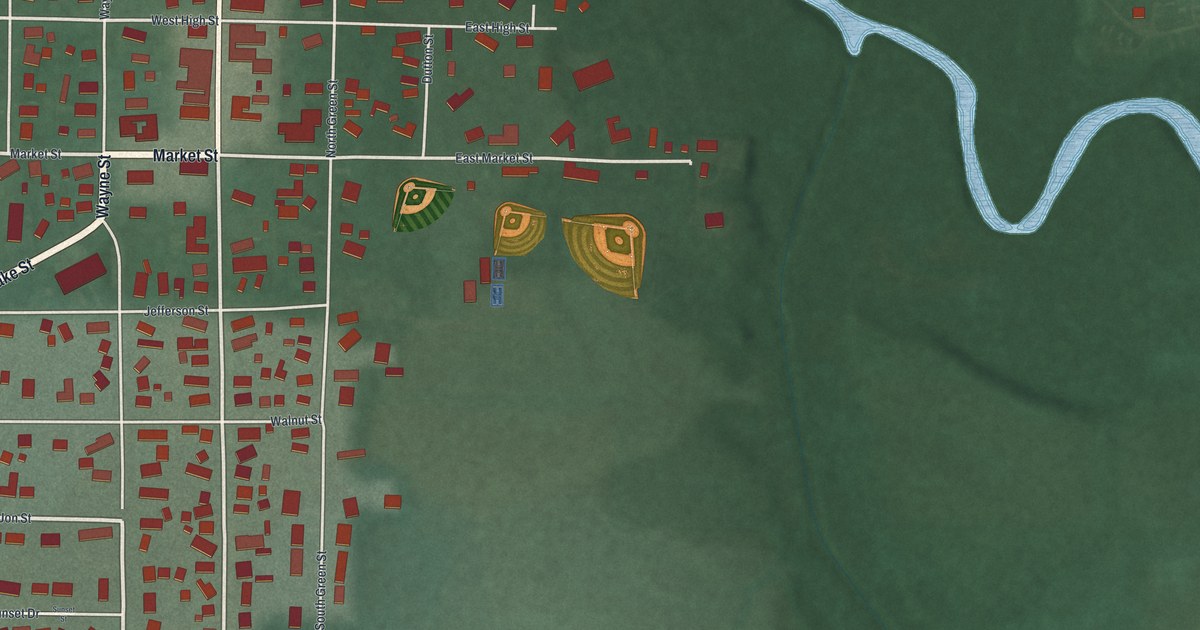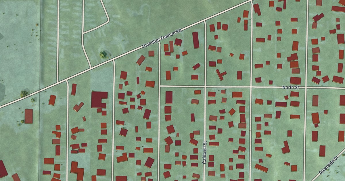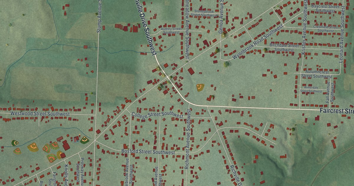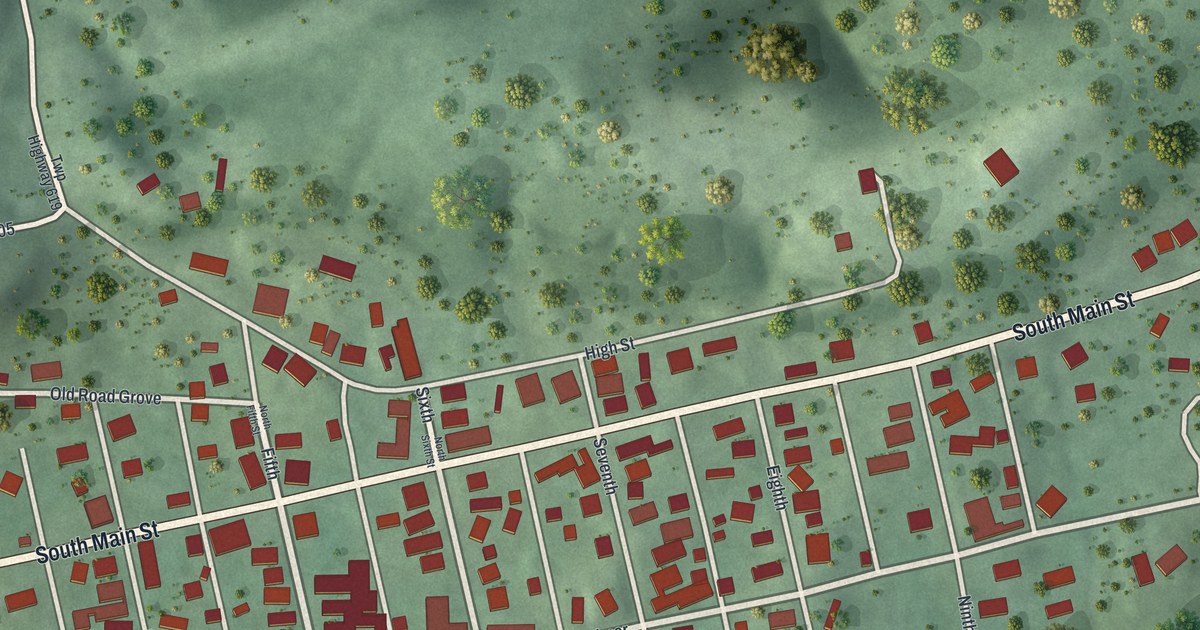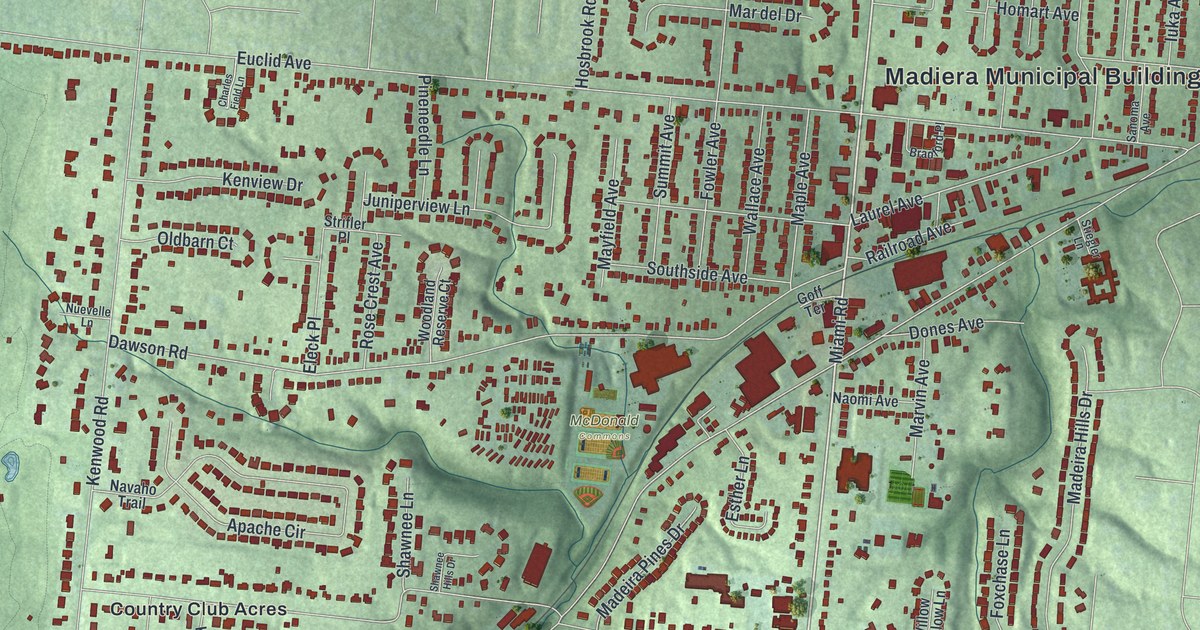
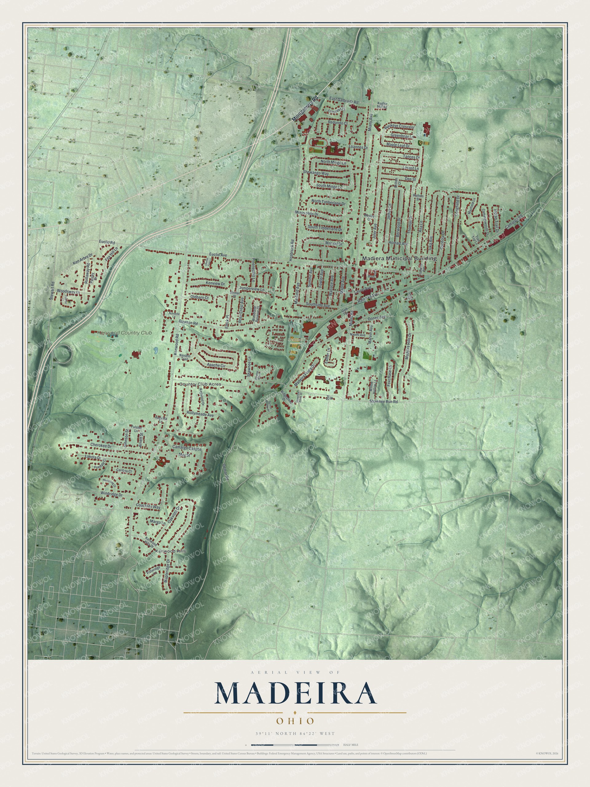
This beautifully detailed map of Madeira, Ohio was created in 2026 using aerial imagery combined with modern topographical, census, street and landmark data. It’s a one-of-a-kind view of Madeira that combines accurate data with a vintage aesthetic. The map shows every building in its true location, many of the roads carry their names, and the shaded topographic relief shows the shape of the land.
Explore an aerial view of Madeira, Ohio
On the map you’ll find Madiera Municipal Building, McDonald Commons, Country Club Acres, Kenwood Hills, Kenwood Country Club, and Buckeye Crescent, along with Montgomery Road, Miami Avenue, Miami Road, Camargo Road, Kenwood Road, Euclid Avenue, and more. If you look closely you can even find your house accurately drawn in its correct location. Zoom in on the preview to look for yours.
Did you know this piece of Madeira, Ohio history?
From the History of Hamilton County: "A post office and railway station had previously existed here, taking their name from John Madeira, treasurer of the Marietta & Cincinnati railroad, who owned a large tract of land in the neighborhood."
Take a closer look at the Madeira map
Street and place names on the Madeira, Ohio map
These names are printed on the map of Madeira, Ohio.
Places: Madiera Municipal Building, McDonald Commons, Country Club Acres, Kenwood Hills and Kenwood Country Club.
Streets and roads: Montgomery Road, Miami Avenue, Buckeye Crescent, Miami Road, Camargo Road, Kenwood Road, Euclid Avenue, Shawnee Run Road, Dawson Road, Thomas Drive, Hosbrook Road, Laurel Avenue.
More street names, A to Z
Apache Circle, Arnett Street, Augusta Lane, Berwood Drive, Bradford Place, Britten Court, Burman Meadow Drive, Camargo Canyon, Camargowoods Drive, Caribou Court, Charles Field Lane, Cherokee Drive, Coachlite Way, Crinstead Court, Dee Street, Demar Road, Dones Avenue, Dot Street, East Galbraith Road, Eleck Place, Esther Lane, Euclid Road, Fowler Avenue, Foxchase Lane, Foxdale Court, Fox Hill Lane, Fulsher Lane, Goff Terrace, Greenbriar Lane, Homart Avenue, Indian Trail Drive, Iuka Avenue, Jethve Lane, Johnson Street, Juler Avenue, Juniperview Lane, Kaywood Drive, Ken Arbre Drive, Kenview Drive, Kenwood Hills Drive, Kugler Mill Road, Lakota Drive, Loannes Drive, Locust Lane, Longfield Drive, Madeira Hills Drive, Madeira Pines Drive, Maple Avenue, Maple Leaf Drive, Mapleridge Drive, Mar del Drive, Margo Lane, Marvin Avenue, Maxfield Lane, Mayfield Avenue, May Street, Miami Hills Drive, Naomi Avenue, Navaho Trail, North Mingo Lane, North Timberlane Drive, Nuevelle Lane, Oakvista Drive, Oldbarn Court, Osceola Drive, Paisley Drive, Pineneedle Lane, Railroad Avenue, Rathon Street, Redondo Court, Ridgestone Drive, Rita Lane, Rollaway Road, Rollymeade Avenue, Rosalee Lane, Rose Crest Avenue, Sanoma Avenue, Shawnee Hills Drive, Shawnee Lane, Shawnee Pines Drive, Shewango Way, South Mingo Lane, Southside Avenue, South Timberlane Drive, Stewart Road, Stiegler Lane, Strifler Place, Summit Avenue, Tances Drive, Tree Top Lane, Vistaridge Lane, Wallace Avenue, Wesley Court, Willow Hollow Lane, Windridge Drive, Windsong Court, Woodland Reserve Court, Woodsway Drive.
See the Madeira, Ohio map on a wall
The Madeira map as an 18 x 24 inch print in a black frame.

This beautifully detailed map of Madeira makes an attractive addition to your office, library, or den, and it can even be used to teach children the geography and history of the area. It also makes a great gift for anyone who grew up in Madeira or moved away. When you’re done exploring, click here to get your copy of the Madeira map.