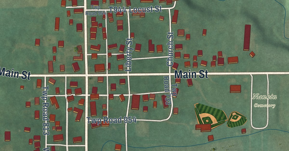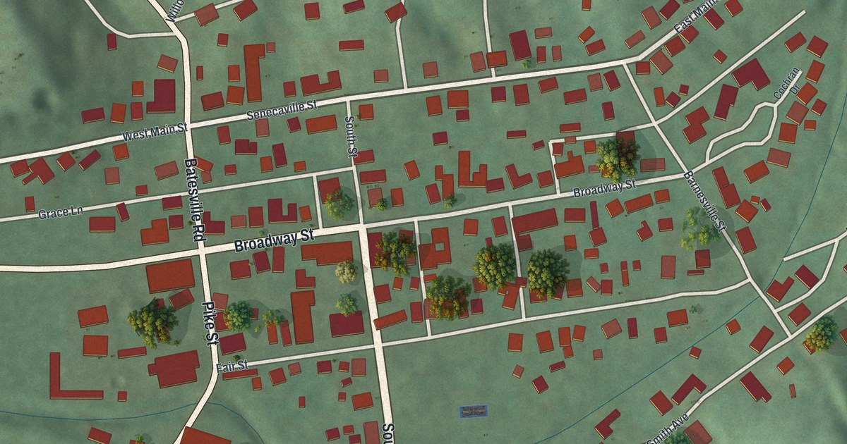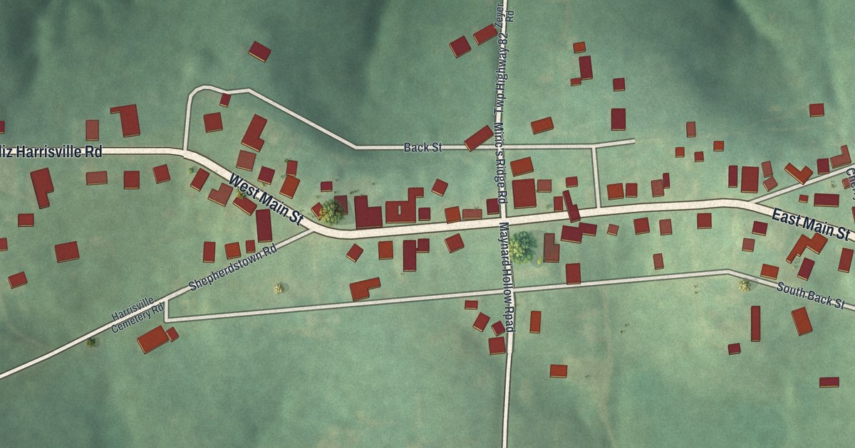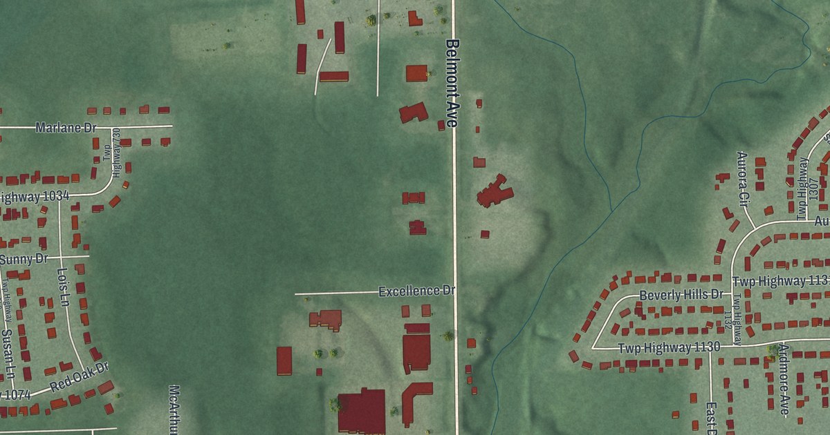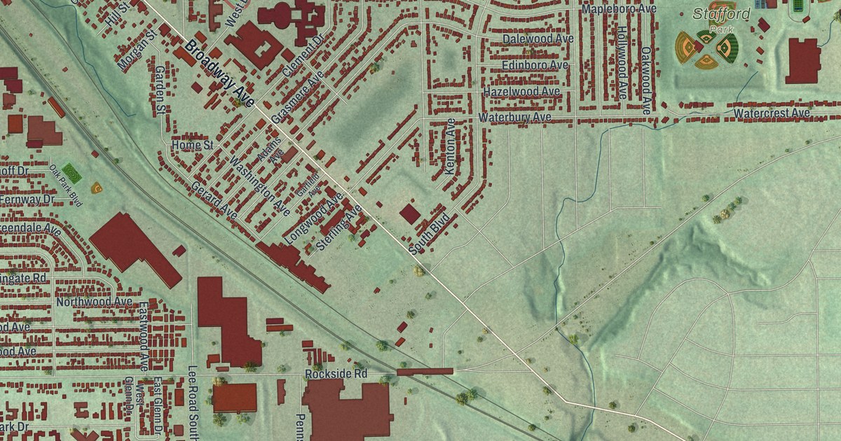
This beautifully detailed map of Maple Heights, Ohio was created in 2026 using aerial imagery combined with modern topographical, census, street and landmark data. It’s a one-of-a-kind view of Maple Heights that combines accurate data with a vintage aesthetic. The map shows every building in its true location, many of the roads carry their names, and the shaded topographic relief shows the shape of the land.
Explore an aerial view of Maple Heights, Ohio
On the map you’ll find Maple Heights City Hall, Dunham Park, Stafford Park, and Randall, along with Libby Road, Broadway Avenue, Northfield Road, Granger Road, McCracken Road, Lee Road, Raymond Street, Dunham Road, and more. If you look closely you can even find your house accurately drawn in its correct location. Zoom in on the preview to look for yours.
Did you know this piece of Maple Heights, Ohio history?
From Case.edu: "In 1914 the residents of the Maple Grove area, when annexation to Bedford Village seemed imminent, voted to form their own community. Maple Hts., named for its many maple trees, had a population of 1,000 upon incorporation."
Take a closer look at the Maple Heights map
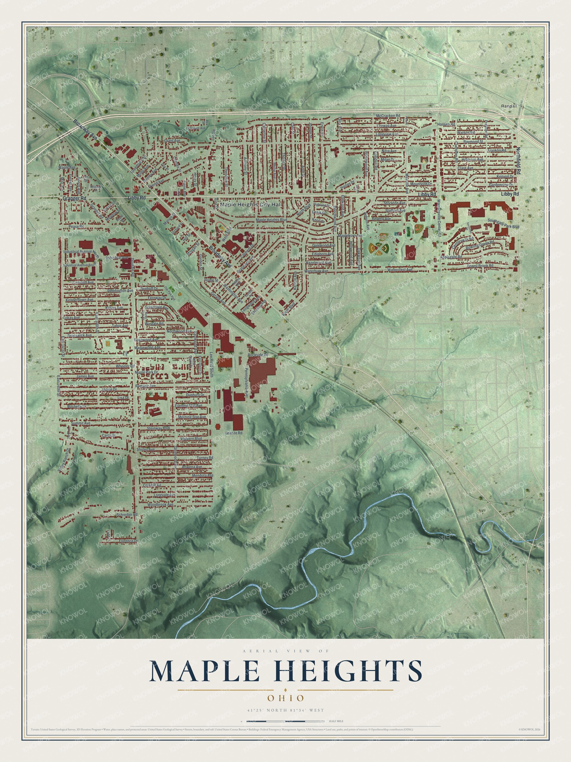
Street and place names on the Maple Heights, Ohio map
These names are printed on the map of Maple Heights, Ohio.
Places: Maple Heights City Hall, Dunham Park, Stafford Park and Randall.
Streets and roads: Libby Road, Broadway Avenue, Northfield Road, Granger Road, McCracken Road, Lee Road, Raymond Street, Dunham Road, Maple Heights Boulevard, Rockside Road, Glenwood Avenue, Thomas Street.
More street names, A to Z
Adams Avenue, Anthony Street, Applegate Road, Arch Street, Auburn Avenue, Beech Avenue, Beechwood Avenue, Bellview Street, Benhoff Drive, Beverly Avenue, Bowling Green Road, Brunswick Avenue, Camden Road, Carol Drive, Catherine Street, Cato Street, Centuryway Road, Charles Street, Clampher Road, Clare Avenue, Clement Drive, Corkhill Road, Corridon Avenue, Dalewood Avenue, Donny Brook Road, Dunbury Drive, East 140th Street, East 141st Street, East 146th Street, East Glenn Drive, Eastwood Avenue, Edgewood Avenue, Edinboro Avenue, Elm Street, Elmwood Avenue, Erwin Street, Evening Star Avenue, Fairway Avenue, Fernway Drive, Florence Drive, Forest Avenue, Franklin Road, Friend Avenue, Garden Street, Gardenview Drive, Garfield Avenue, Gerard Avenue, Glenburn Avenue, Granite Road, Grant Avenue, Grasmere Avenue, Greendale Avenue, Greenhurst Drive, Hansen Road, Harlan Drive, Hazelwood Avenue, Henry Street, Highland Drive, Hillgrove Avenue, Hill Street, Hollywood Avenue, Home Street, Homewood Avenue, Industrial Avenue, Industrial Avenue North, Industrial Avenue South, James Avenue, Janice Drive, Joseph Street, Kennerdown Avenue, Kenton Avenue, Kenyon Drive, Knoll Drive, Kohout Street, Krems Avenue, Ladd Lane, Lawn Avenue, Lee Road South, Lewis Drive, Library Lane, Lisa Drive, Longvale Avenue, Longview Avenue, Longwood Avenue, Maple Avenue, Mapleboro Avenue, Maple Park Drive, Maplewood Avenue, Marion Street, Mayville Avenue, Meadow Street, Mendota Avenue, Milan Drive, Miller Avenue, Milo Avenue, Morgan Street, Morning Star Avenue, Mountville Drive, Nitra Avenue, North Boulevard, Northwood Avenue, Oak Park Boulevard, Oakwood Avenue, Orchard Street, Otis Place, Paine Avenue, Pease Road, Pennsylvania Avenue, Philip Avenue, Portland Avenue, Prayner Road, Ramage Avenue, Reddington Avenue, Rex Street, Rochelle Drive, Rowena Avenue, Royal Street, Schreiber Road, Shirley Avenue, South Boulevard, Southgate Park Boulevard, Stafford Avenue, Stanley Avenue, Steinway Boulevard, Sterling Avenue, Stockton Avenue, Summit Avenue, Sunny Lane Road, Sunnyslope Road, Tabor Avenue, Tatra Avenue, Theodore Street, Thunderbird Drive, Tokay Avenue, Turney Road, Valley Ranch Drive, Vine Street, Walvern Boulevard, Warrensville Center Road, Washington Avenue, Waterbury Avenue, Watercrest Avenue, Watson Road, West Boulevard, West Glenn Drive, Wheeler Road, William Street, Wingate Road, Woodbrook Avenue.
See the Maple Heights, Ohio map on a wall
The Maple Heights map as an 18 x 24 inch print in a black frame.

This beautifully detailed map of Maple Heights makes an attractive addition to your office, library, or den, and it can even be used to teach children the geography and history of the area. It also makes a great gift for anyone who grew up in Maple Heights or moved away. When you’re done exploring, click here to get your copy of the Maple Heights map.