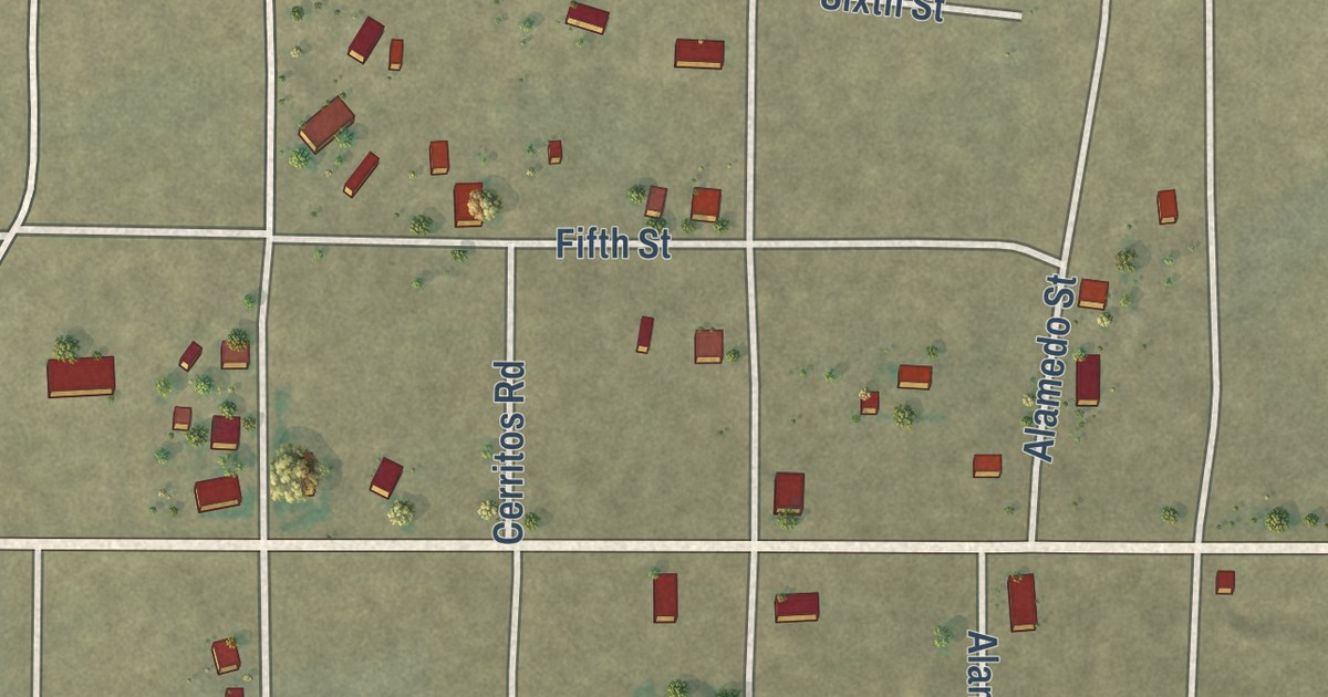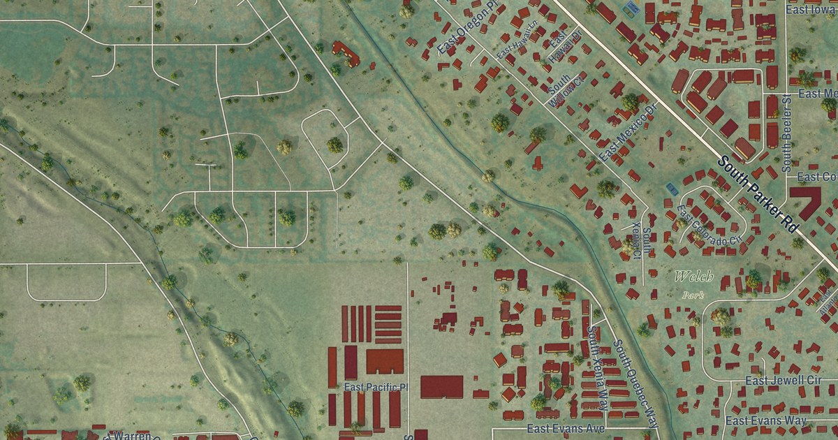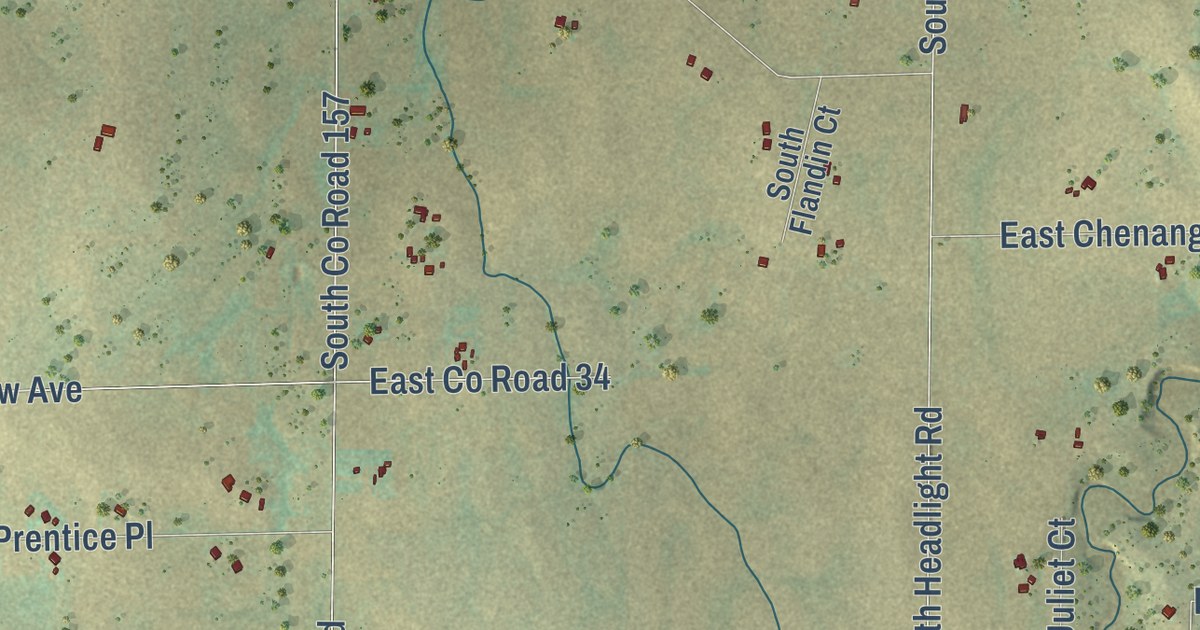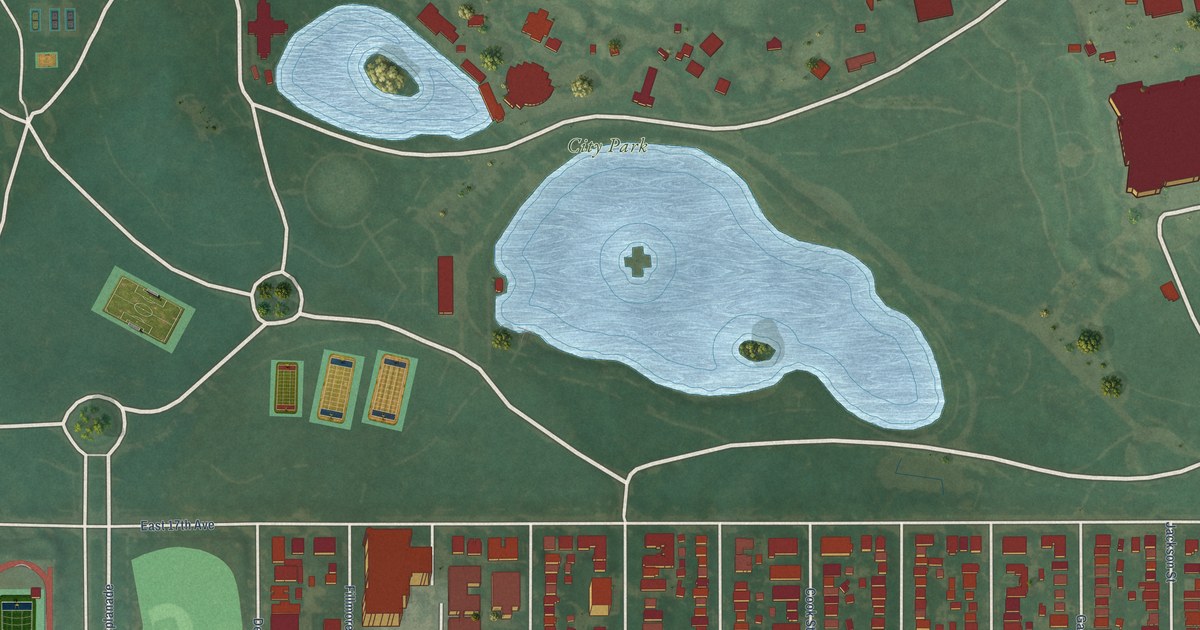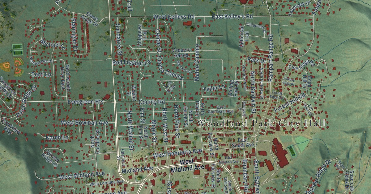
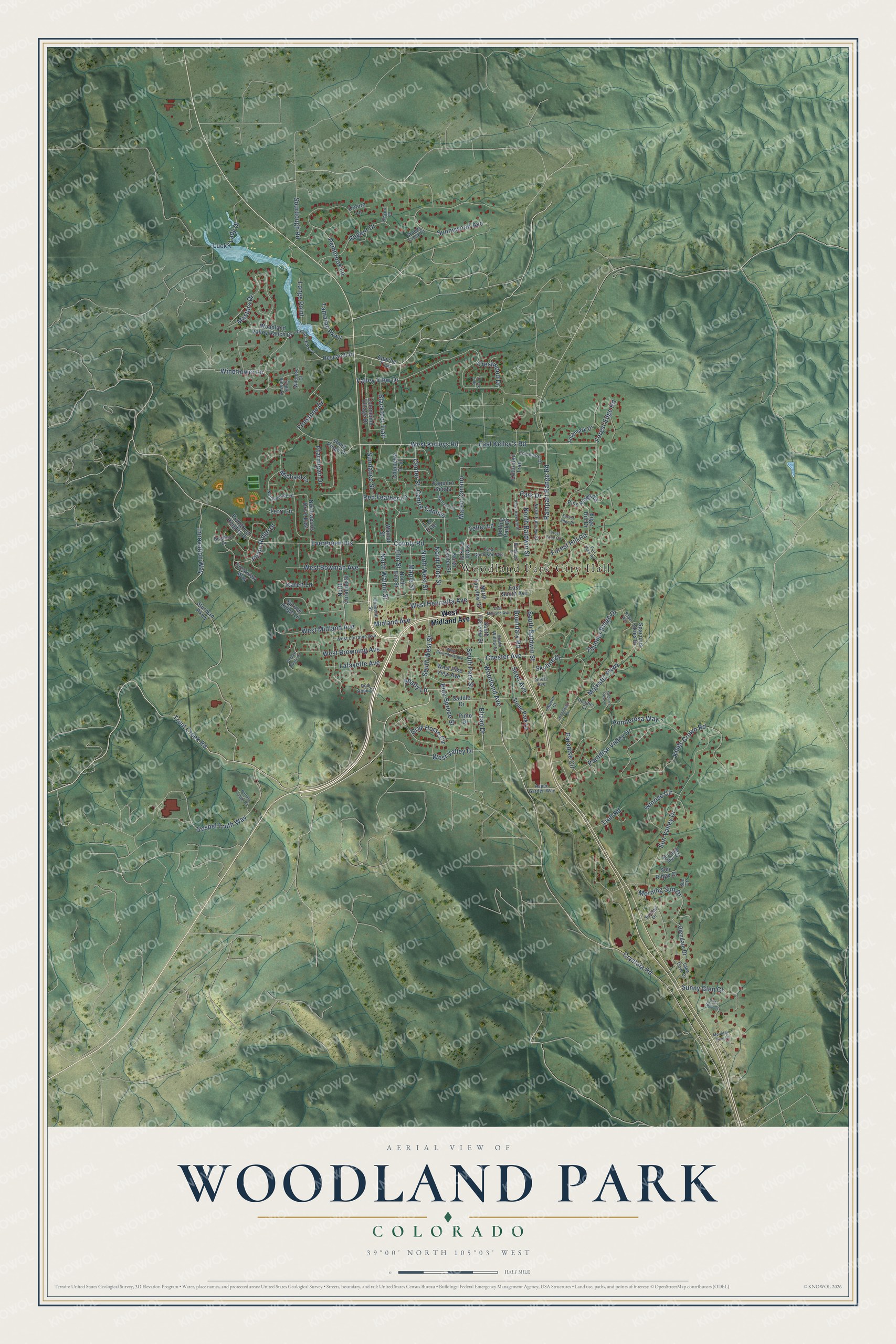
This beautifully detailed map of Woodland Park, Colorado was created in 2026 using aerial imagery combined with modern topographical, census, street and landmark data. It’s a one-of-a-kind view of Woodland Park that combines accurate data with a vintage aesthetic. The map shows every building in its true location, many of the roads carry their names, and the shaded topographic relief shows the shape of the land.
Explore an aerial view of Woodland Park, Colorado
On the map you’ll find Woodland Park City Hall and Evergreen Heights, along with Woodland Avenue, Trout Creek Road, Teller Lane, West Midland Avenue, County Road, South West Street, Gospel Truth Way, West Kelleys Road, Windflower Lane, Lafayette Avenue, and more. If you look closely you can even find your house accurately drawn in its correct location. Zoom in on the preview to look for yours.
Did you know this piece of Woodland Park, Colorado history?
From the Colorado Encyclopedia: "Woodland Park was founded as the town of Manitou Park in 1887, before it incorporated in 1891 under its current name."
Take a closer look at the Woodland Park map
Street and place names on the Woodland Park, Colorado map
These names are printed on the map of Woodland Park, Colorado.
Places: Woodland Park City Hall.
Streets and roads: Evergreen Heights, Woodland Avenue, Trout Creek Road, Teller Lane, West Midland Avenue, County Road, South West Street, Gospel Truth Way, West Kelleys Road, Windflower Lane, Lafayette Avenue, Innovation Way.
More street names, A to Z
Apache Trail, April Sun Court, Aspen Garden Way, Blackfoot Trail, Blue Spruce Street, Boundary Road, Boundary Street, Bradford Drive, Buffalo Lodge Road, Center Street, Centre Camino, Chester Avenue, Chestnut Street, Chipmunk Drive, Chippewa Trail, Columbine Village Drive, Cottontail Trail, Crestview Way, Crestwood Drive, Crystola Road, Del Este, Eagle Pines Drive, East Gunnison Avenue, East Kelley's Road, East Midland Avenue, East South Avenue, Edge Hill Drive, Elizan Drive, Elm Street, Evergreen Heights Drive, Falcon's Rest Place, Firestone Drive, Forest Edge Circle, Forest Edge Place, Forest Edge Road, Forest Hill Road, Glen Cove Drive, Glendale Drive, Golden Eagle Place, Gray Horse Circle, Greenway Court, Heather Court, Karen Lane, Kings Crown Road, Longs Point, Lucky Lady Drive, Majestic Parkway, Manor Court, Maple Street, Masters Drive, Mateo Camino, Michael Lane, Midland Avenue, Montana Vis, Morning Star Court, Morning Sun Drive, Mountain Glen Court, North Baldwin Street, North Center Street, North Coraline Street, North Elm Street, North Fairview Street, North Fullview Street, North Park Street, North Pine Street, North Walnut Street, North West Street, Northwoods Drive, Northwoods Drive East, Oxford Lane, Paradise Circle, Paradise Valley Drive, Park Drive, Park Drive North, Park View Road, Pembrook Lane, Pine Ridge Road, Pinon Ridge Drive, Pinto Drive, Ponderosa Way, Ptarmigan Drive, Rampart Range Road, Red Feather Lane, Red Rock Court, Regal Way, Regent Drive, Regent Lane, Research Drive, Research Parkway, Rolling Park Drive, Saddle Drive, Scott Avenue, Shady Lane, Short Avenue, Skyline Drive, Sourdough Road, South Baldwin Street, South Fairview Street, South Park Street, South Willow Street, Spacious Skies Drive, Spruce Ridge Lane, Stone Park Lane, Stone Ridge Drive, Sturman Parkway, Sun Court, Sundail Drive, Sundance Street, Sunny Glen Court, Sunnywood Avenue, Sun Ridge Court, Sunrise Circle, Sun Valley Drive, Tamarac Parkway, Telemark Drive, Terri Lane, Thunder Ridge Drive, Trull Road, Valley View Drive, Vaquero Senda, Vista Glen Court, Walnut Street, West Bowman Avenue, West Browning Avenue, West Columbine Avenue, West Henrietta Avenue, West Lorraine Avenue, West Pike View Avenue, West Valley Drive, Wildrose Court, Woodland Valley Ranch Drive, Woody Creek Court.
See the Woodland Park, Colorado map on a wall
The Woodland Park map as an 18 x 24 inch print in a black frame.

This beautifully detailed map of Woodland Park makes an attractive addition to your office, library, or den, and it can even be used to teach children the geography and history of the area. It also makes a great gift for anyone with Woodland Park roots. When you’re done exploring, click here to get your copy of the Woodland Park map.